Michinoku Coastal Trail - Shintaro Station to Ichinowatari Station - Iwate, Japan
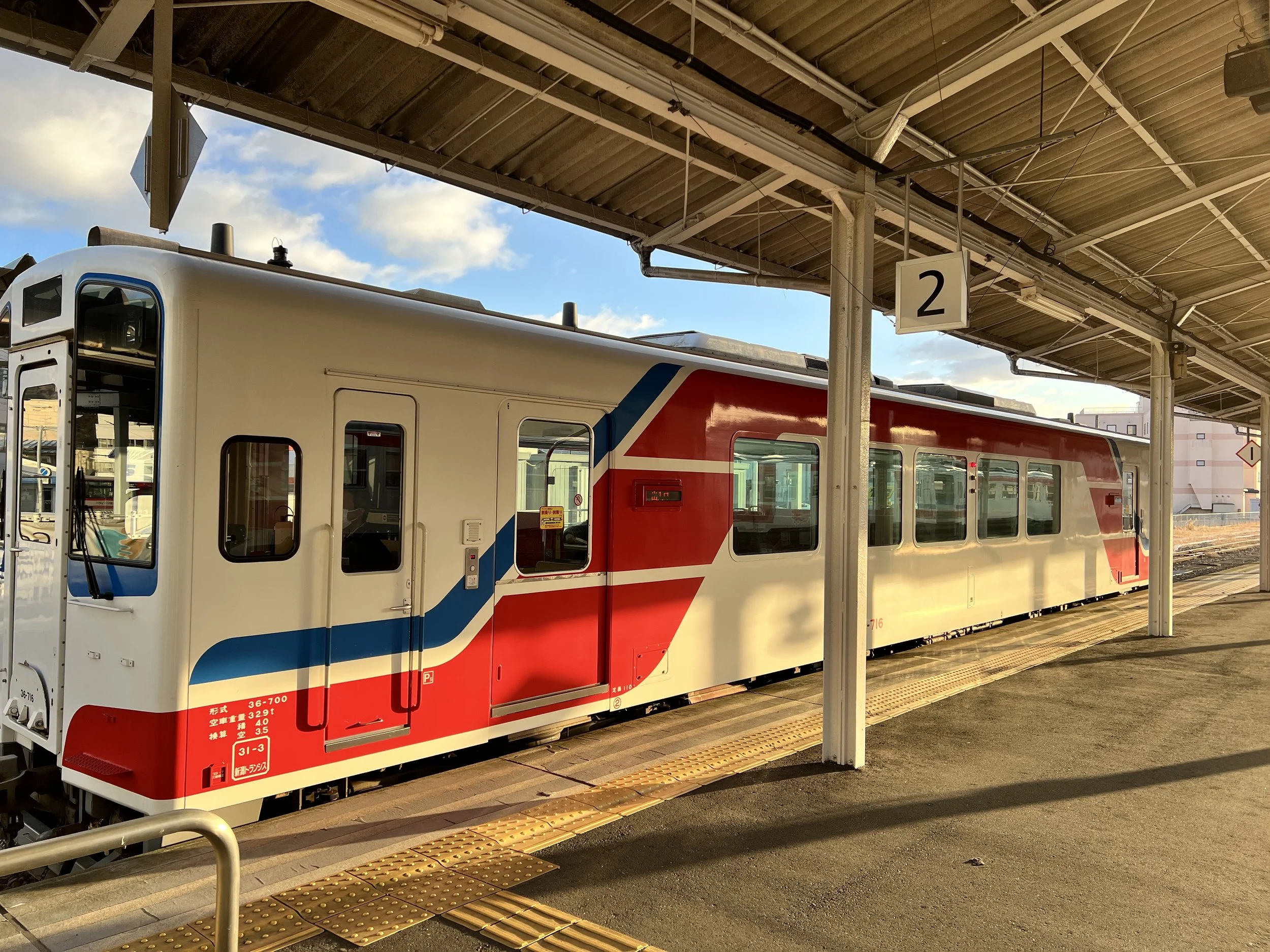
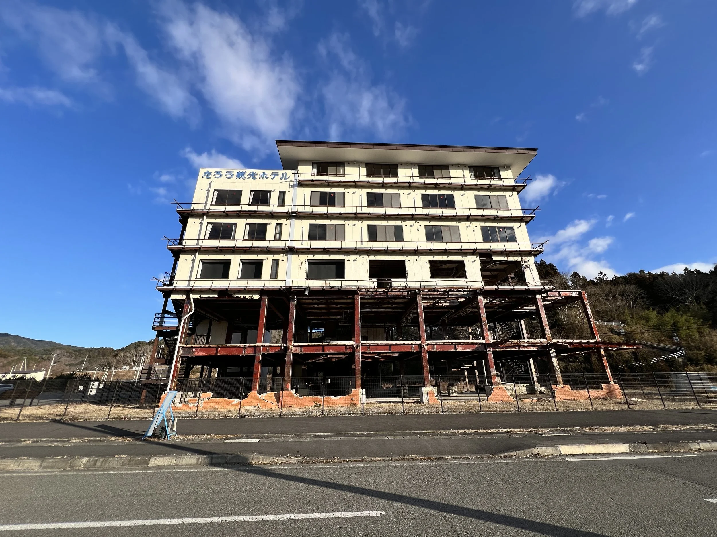
The day didn’t go as I’d planned. I caught an early train from Miyako to Shintaro Station to begin my hike. The first stretch was straightforward, following the main road and my offline GPS toward Taro Kanko Hotel. This hotel has been preserved as a memorial and educational site—a powerful reminder of the devastation caused by the 2011 tsunami.
From there, I continued toward Sannoiwa Rocks, but the signage quickly became confusing—mostly printed paper signs in plastic sleeves—so I relied on my offline GPS, which didn’t always match what I saw on the ground. After a long detour, I finally found the right path.
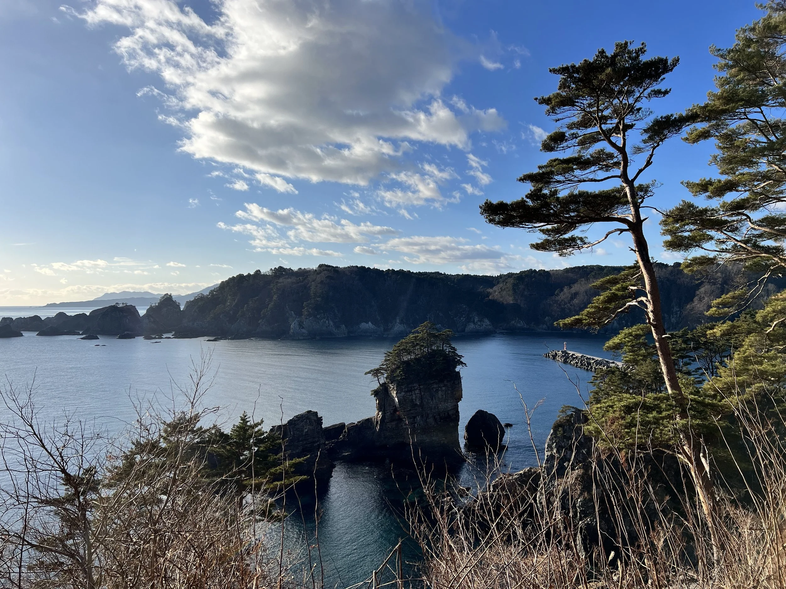
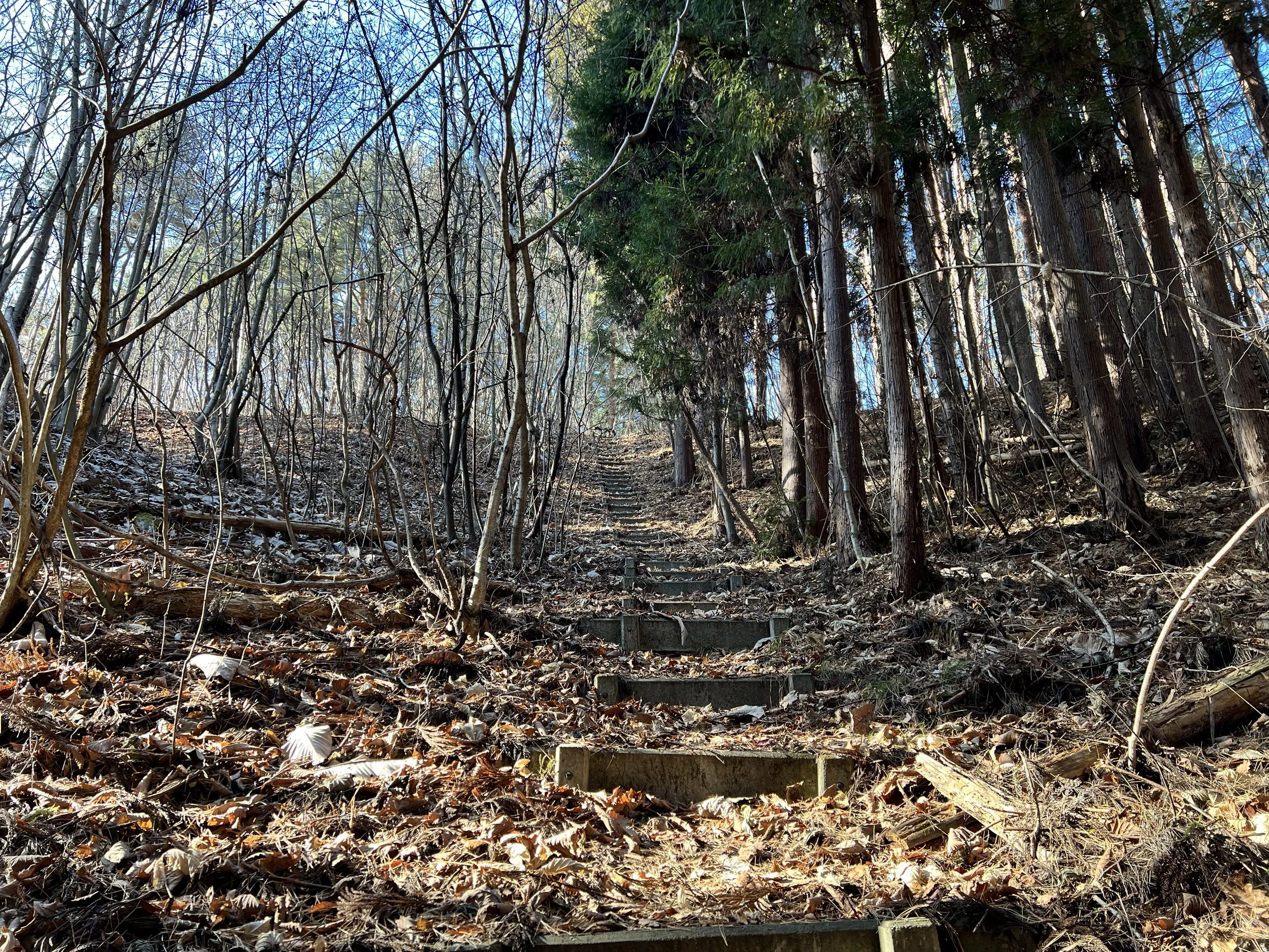
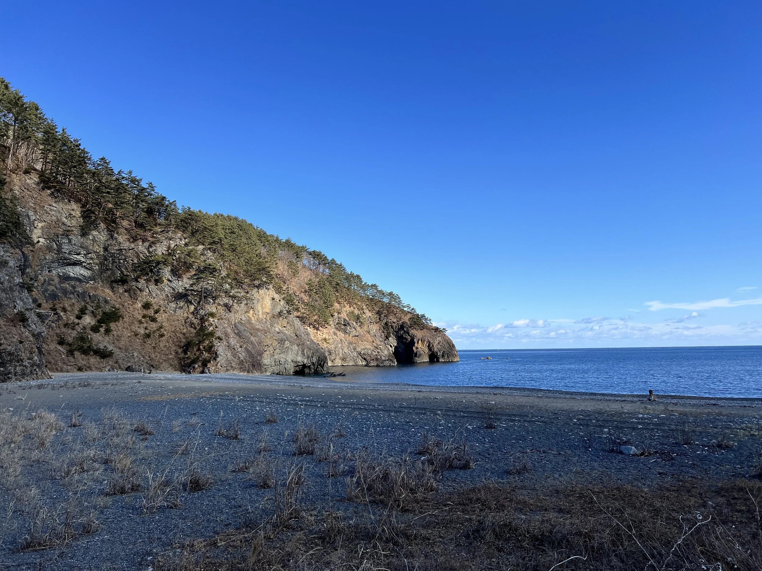
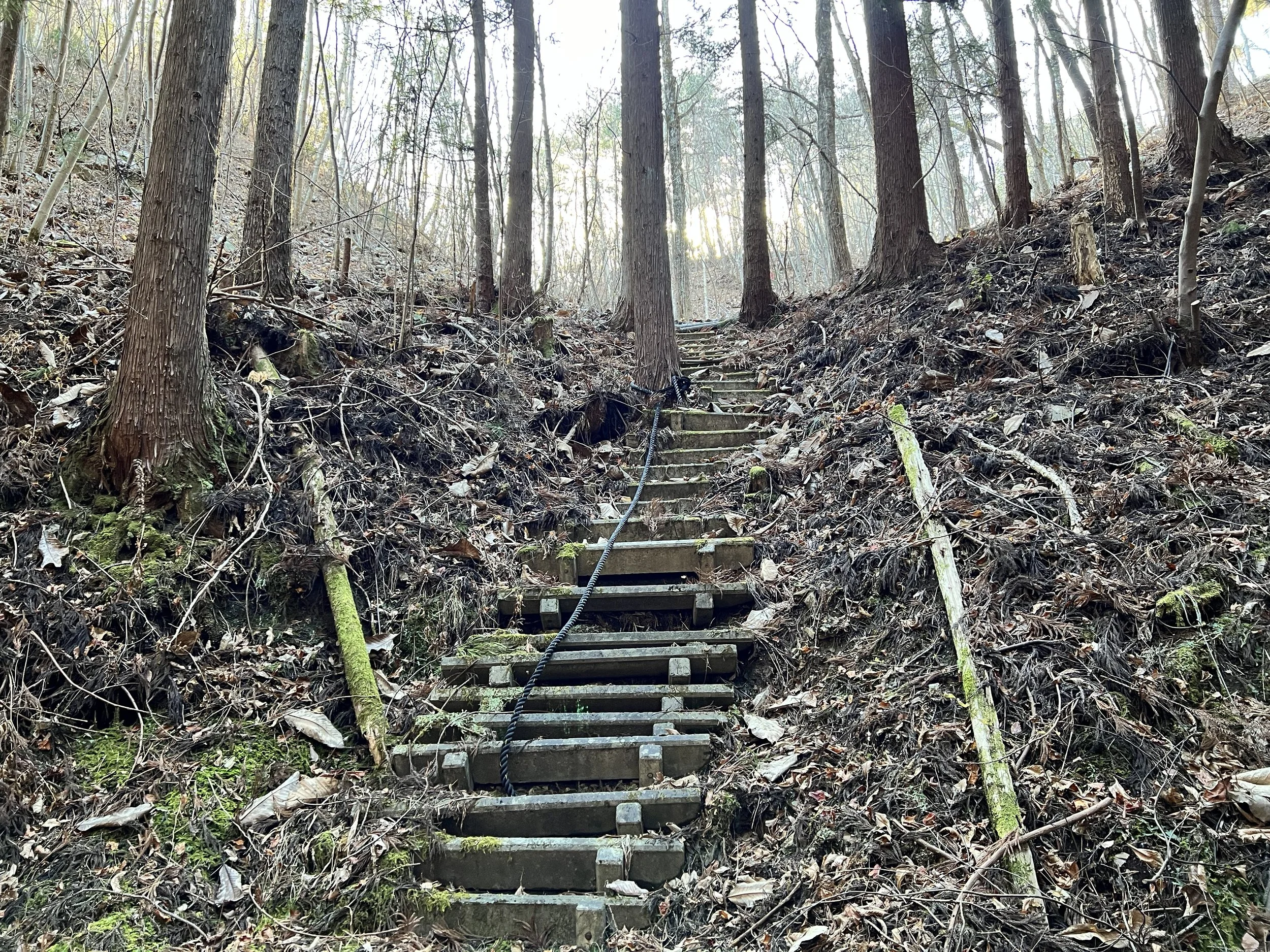
Climbing up toward Sannoiwa Rocks, one thing stood out: a lone pine tree. The sign explained that it was the only tree left standing after the tsunami. From this point, I managed to follow the route back to town without trouble, but as I headed farther out, the trail markings became harder to follow again. My GPS didn’t align with the reality in front of me, and I ended up wandering through logging roads before reconnecting to the official trail.
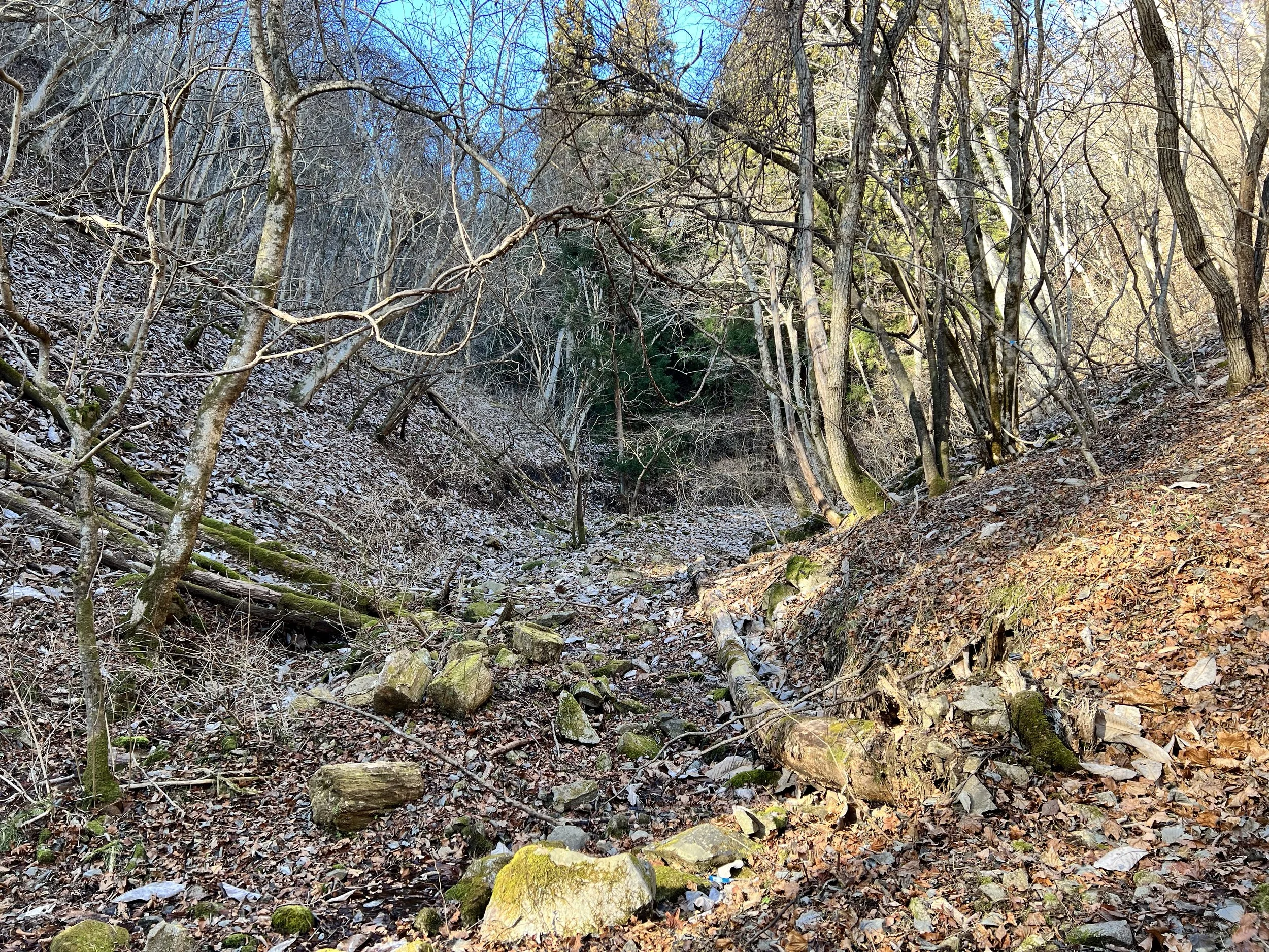
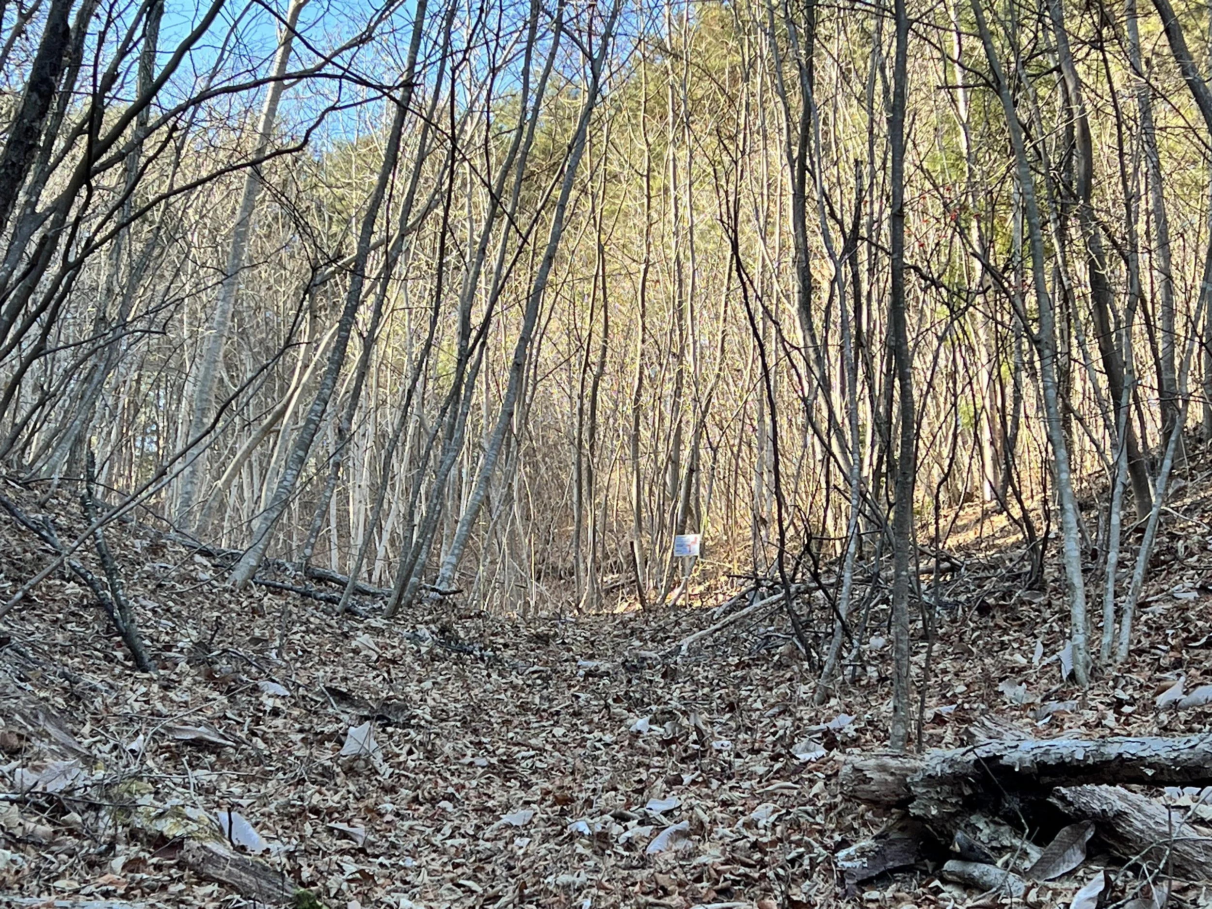
One of the most memorable—and sketchiest—moments of the day was at a fishing port, where both the signs and my GPS led me straight to a cliff face with no visible path up. I checked every nearby sign and map, but nothing made sense. I figured I was meant to loop around the beach and rejoin the trail behind it, but the tide was too high, so I needed to take the detour trail. Unfortunately, it wasn’t clearly marked. After searching for the start of it, I ended up scrambling on all fours up a steep, leaf-covered slope. Halfway up, clinging to a tree to keep from slipping, I seriously thought about turning back—but going down looked even worse. Eventually, I spotted a paper trail marker ahead. Relief doesn’t even begin to describe how I felt.
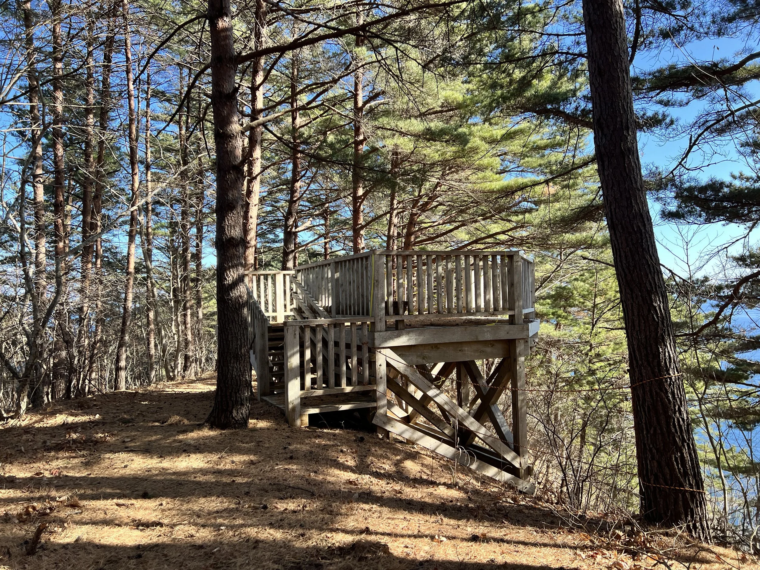
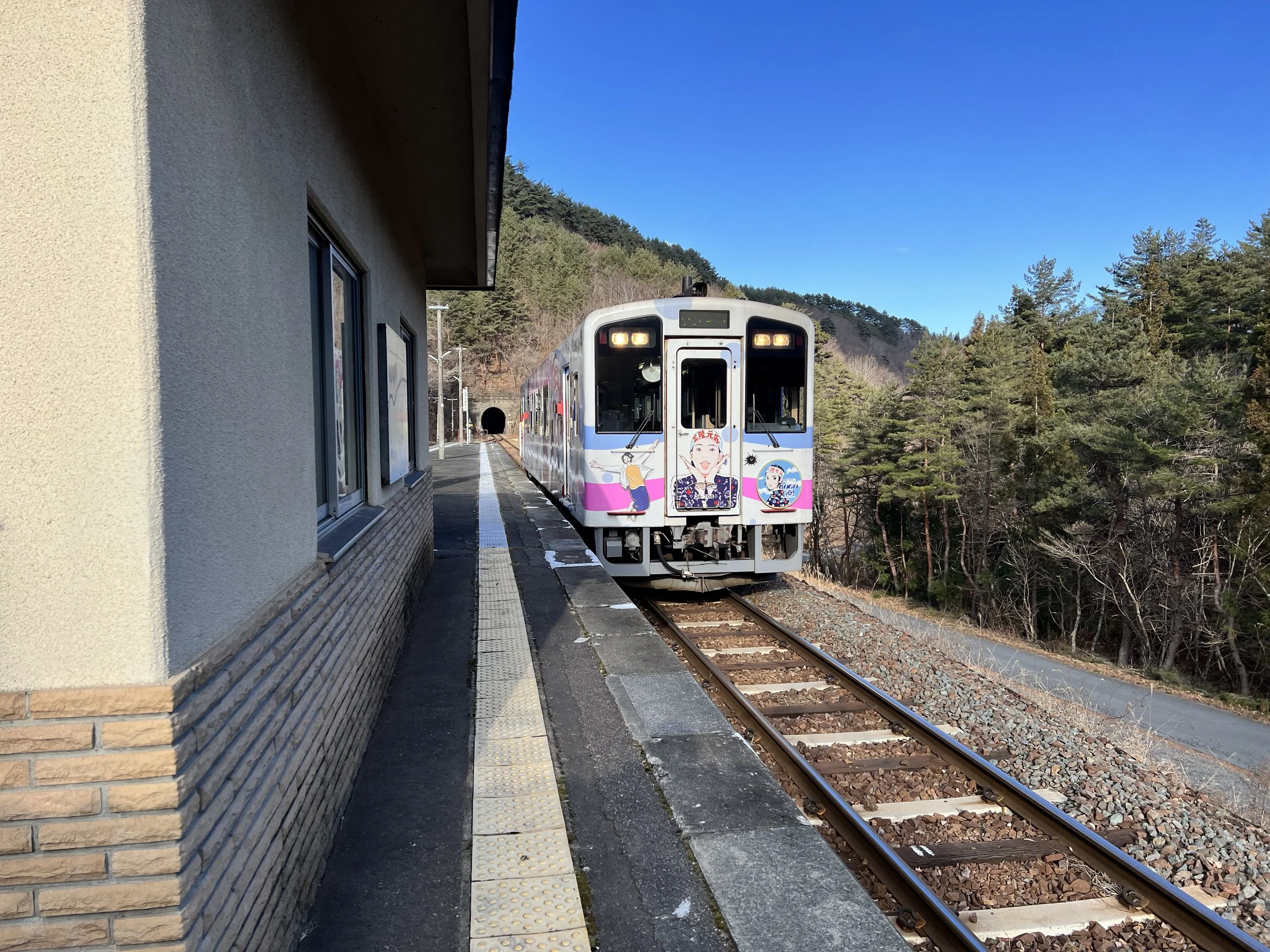
Once I reconnected with the main trail, the route led through a golf course—an official section of the Michinoku Trail, where hikers are permitted as long as they follow certain rules. By this time, though, I had only two hours of daylight left and 14 kilometres still to go. I decided to call it a day, walking the 3 kilometres to the nearest station and catching a train back to Miyako. After that sketchy scramble, I’d had enough adventure for one day.
History & Background
This section of the Michinoku Coastal Trail runs between Shintaro Station and Ichinowatari Station, tracing part of the Sanriku coastline within Miyako City. The route passes several key sites that reflect both the region’s natural beauty and its resilience after the 2011 Tohoku earthquake and tsunami.
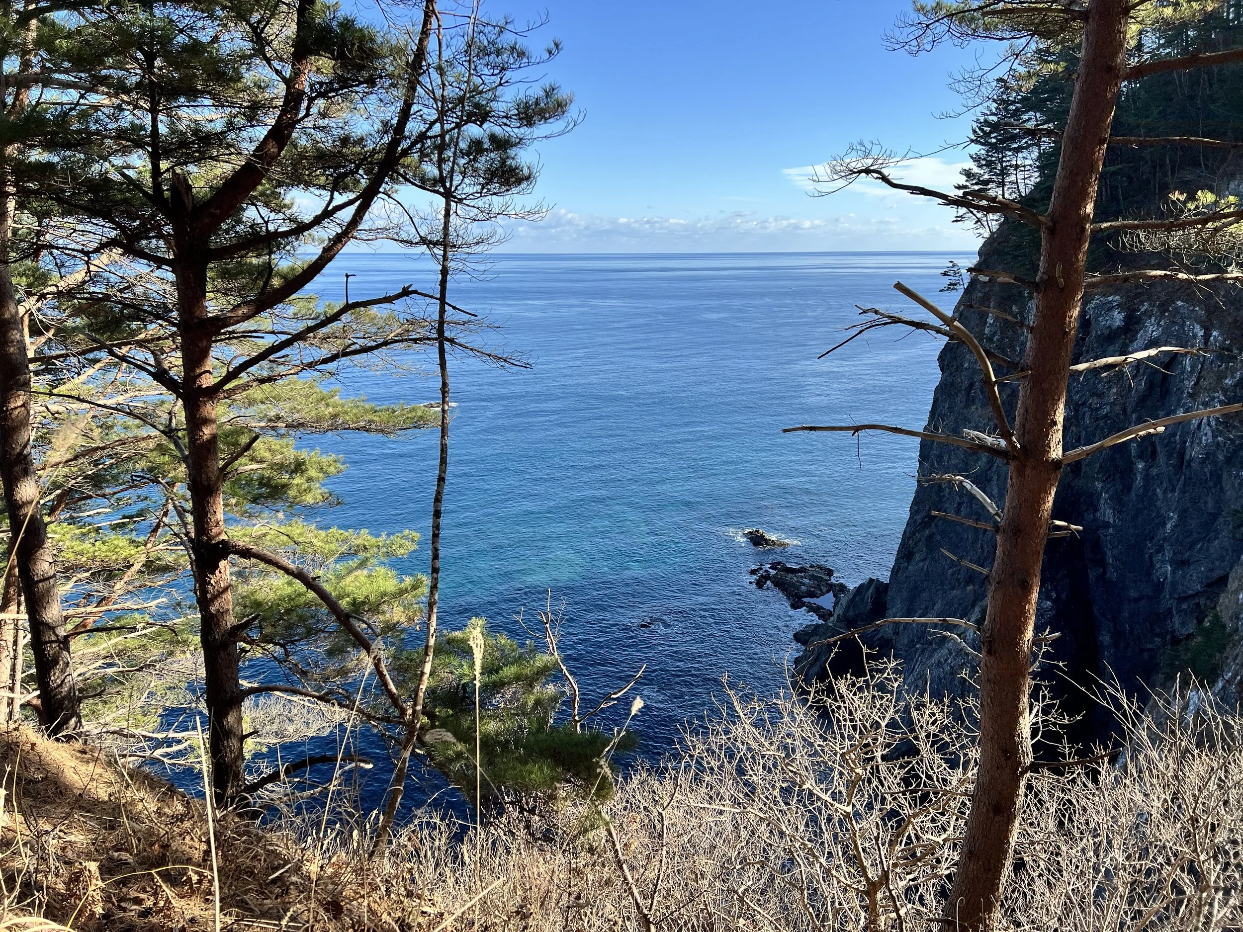
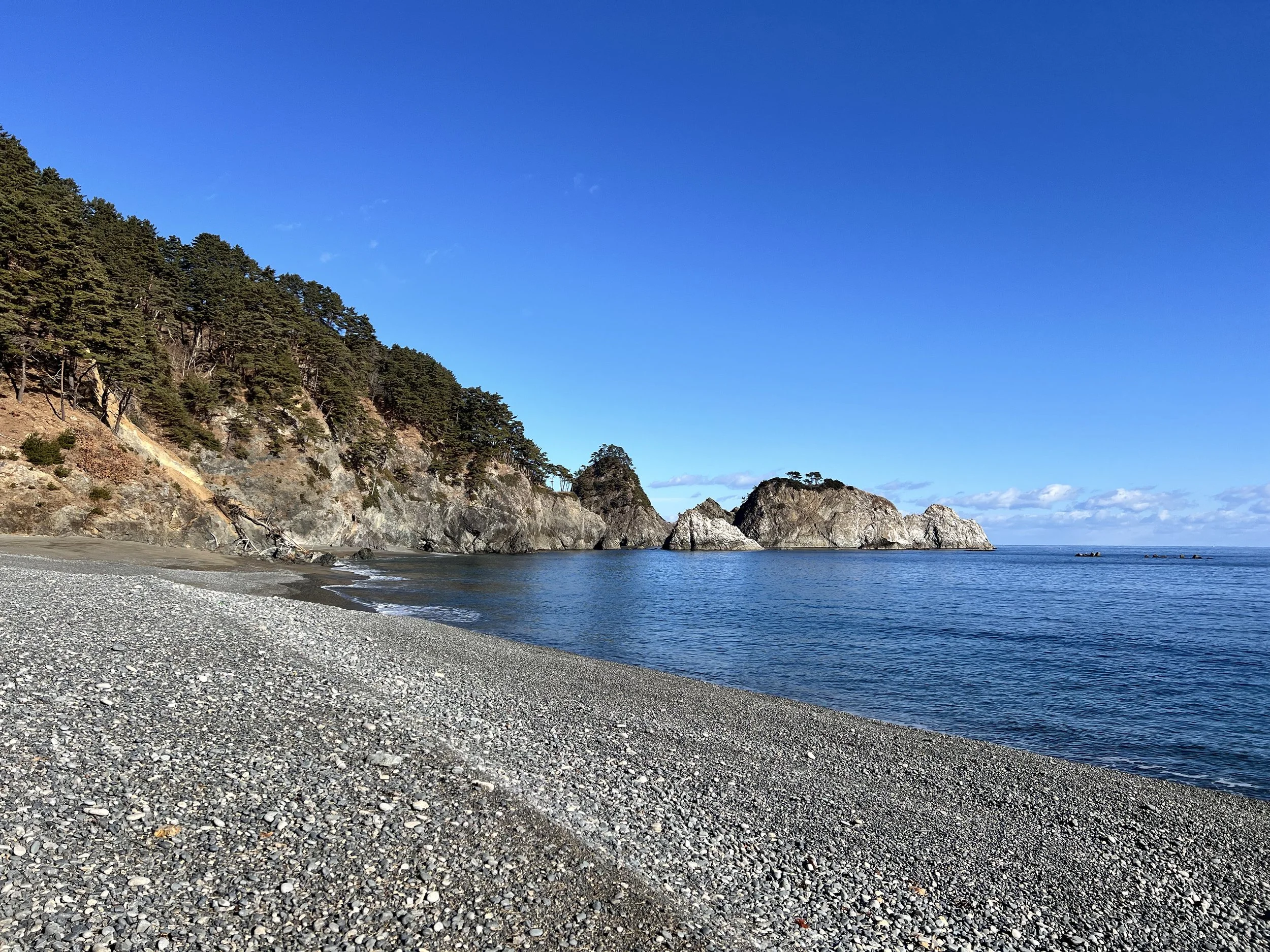
The Taro Kanko Hotel, once a popular seaside accommodation, now stands as a memorial and learning site about the disaster, offering insight into how the tsunami affected the community. The trail also passes Sannoiwa Rocks, striking coastal formations known locally as “The Three Rocks of Taro,” long regarded as a natural symbol of strength.
Much of this stretch traverses areas impacted by the tsunami, where reconstruction efforts and reforested landscapes now coexist with reminders of the past—making it a moving and challenging part of the Michinoku journey.
Getting There
Shintaro Station is about a 20-minute ride from Miyako on the Sanriku Tetsudo Rias Line.
Route Overview
Distance: 18.7 km (Shintaro Station → Ichinowatari Station)
Total elevation gain: 685 m
Duration: 4 hr 22 min (with breaks 4 hr 42 min)
Difficulty: Hard
Cost Breakdown
Train: Miyako Station → Shintaro Station — ¥460
Train: Ichinowatari Station → Miyako Station — ¥310
Accommodation: Hotel Miyako Hills (booked via Agoda) — C$75.08