Michinoku Coastal Trail - Kurosakiso to Tanohata Station – Iwate, Japan
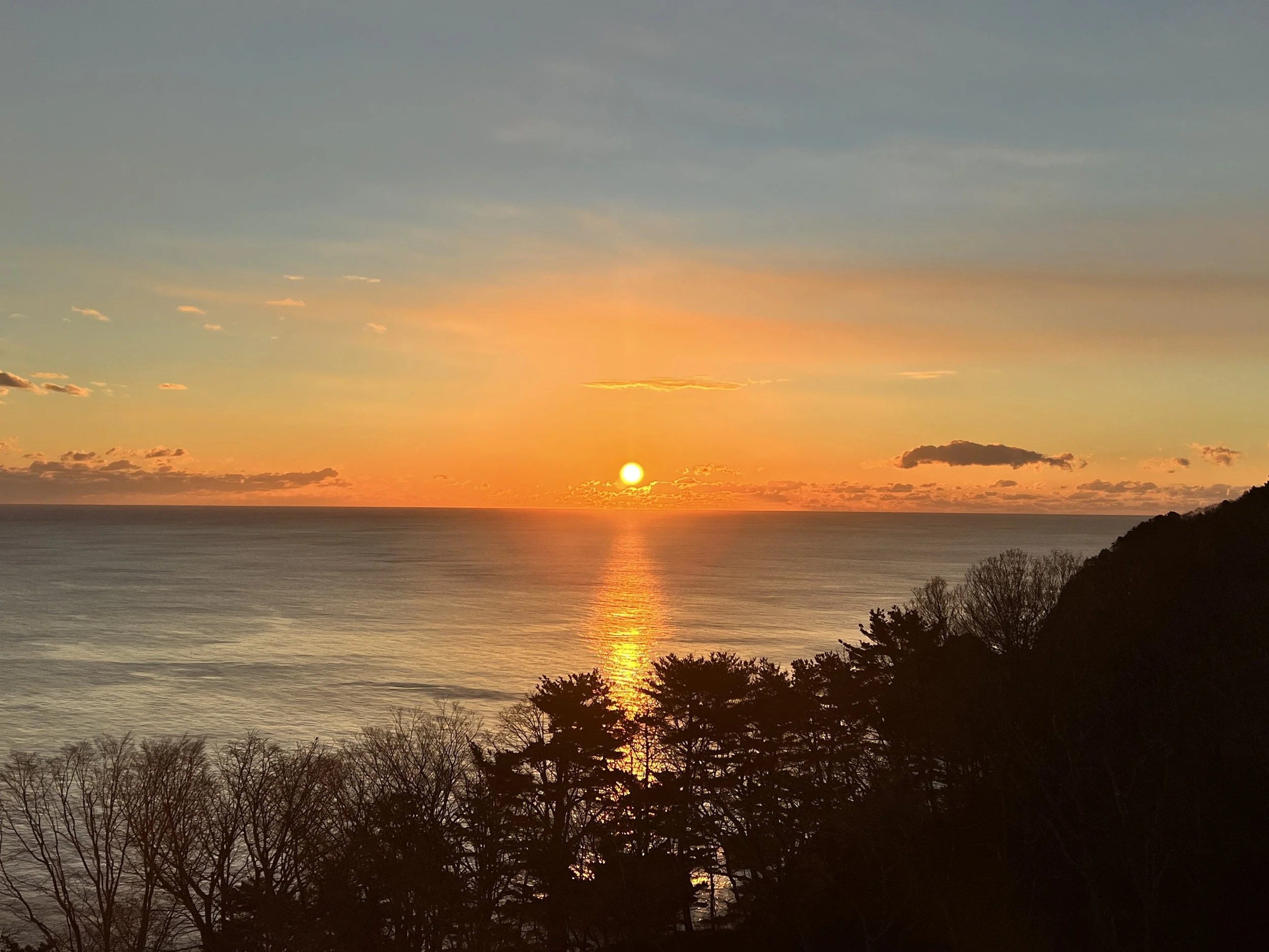
I started the morning watching a beautiful sunrise over the Pacific Ocean from the hotel dining room. As I ate breakfast, the sky glowed orange, reflecting off the calm water—it felt like the perfect start to the day.
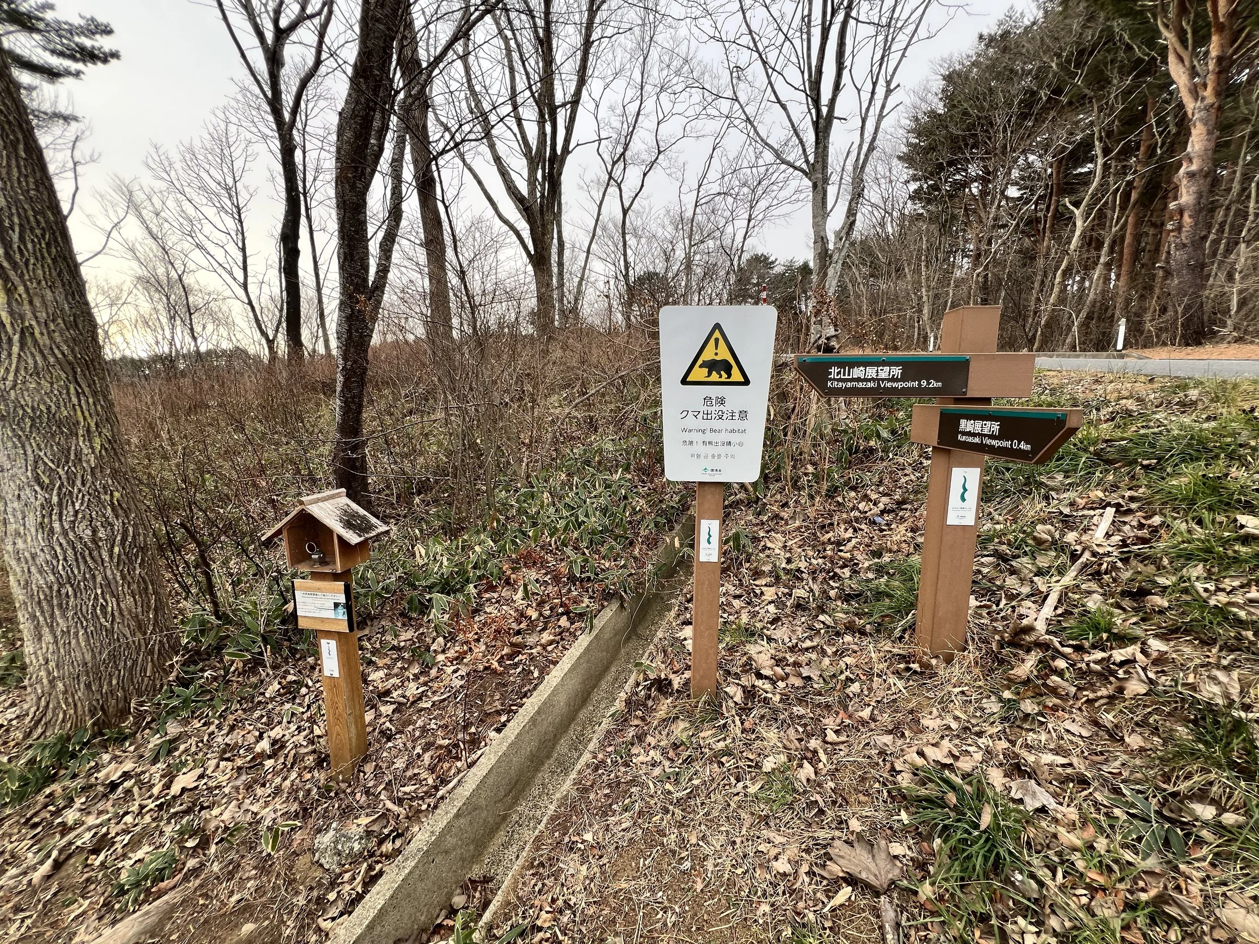
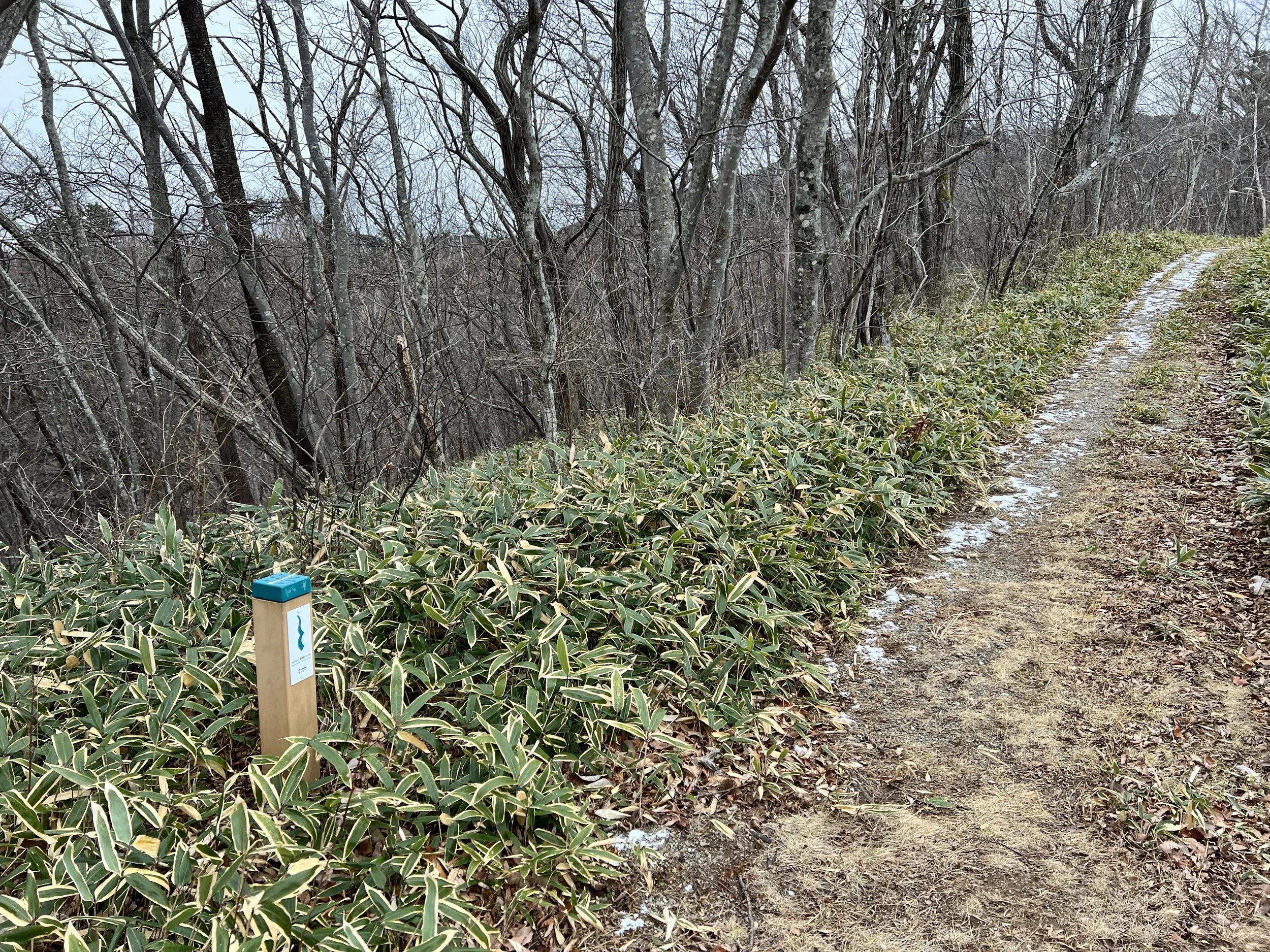
The trailhead was right outside the hotel, and I began my hike by pressing the trail counter button. These counters track how many hikers use the Michinoku Trail each month—my number was 39 for this section.
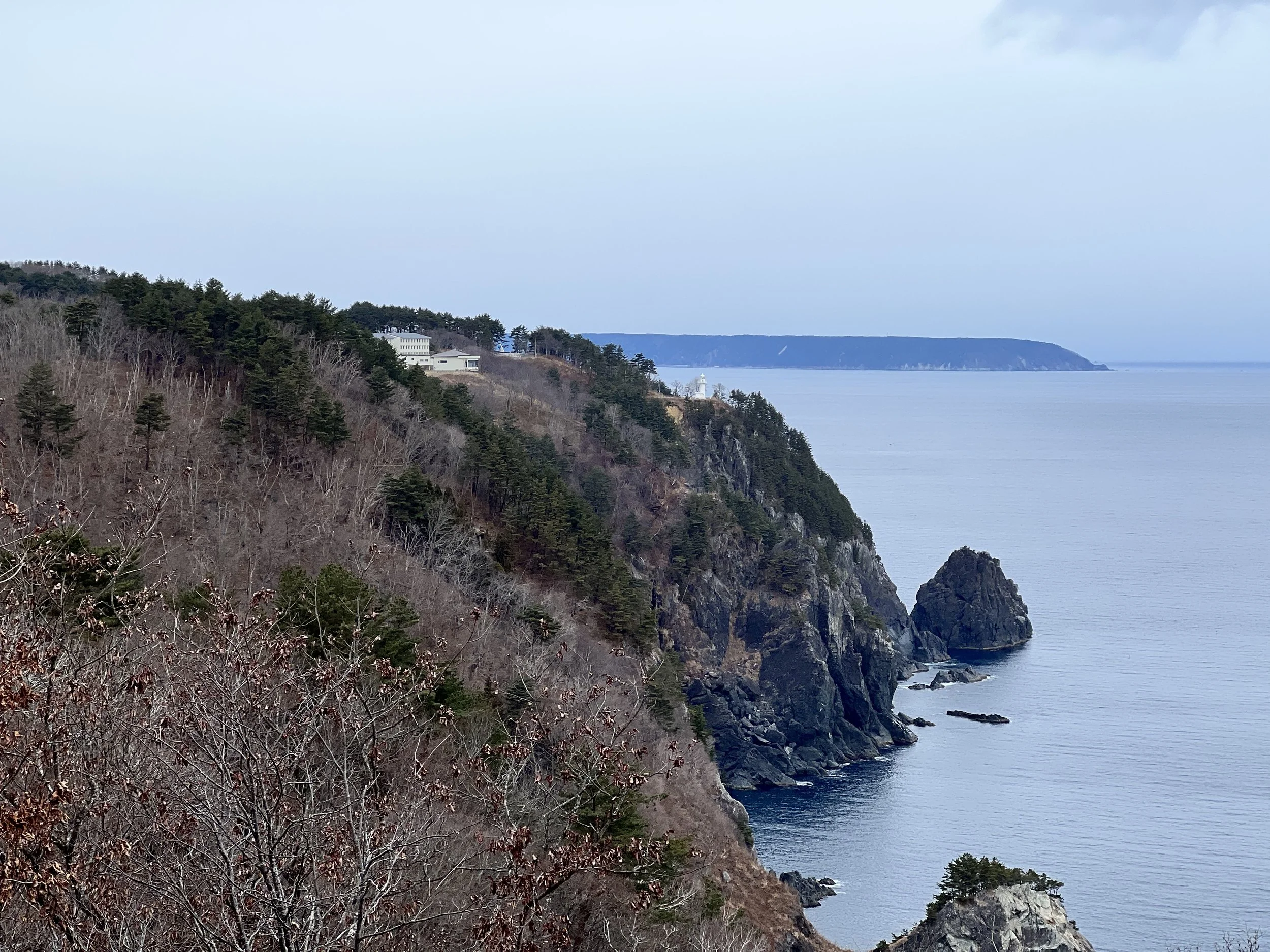
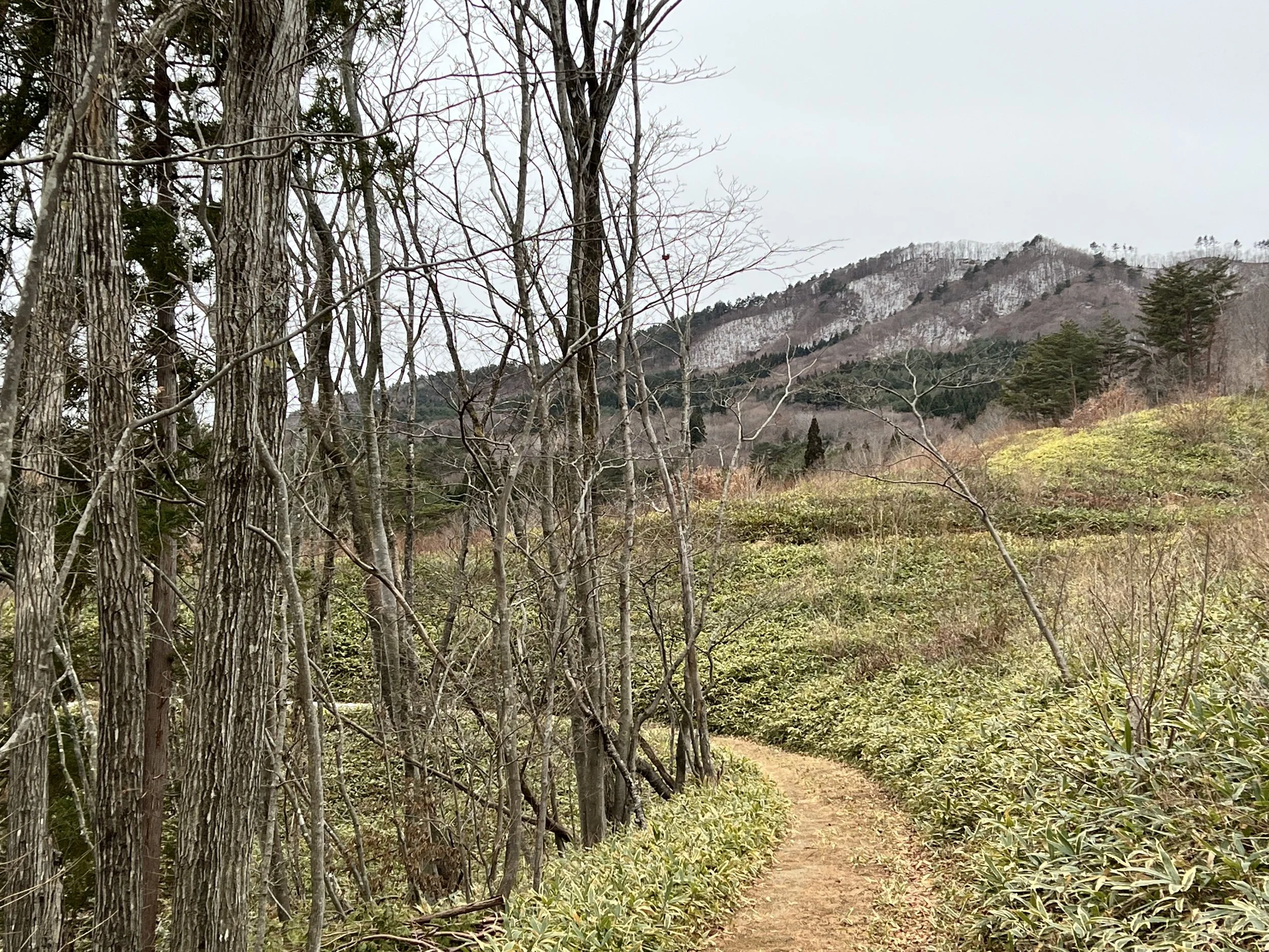
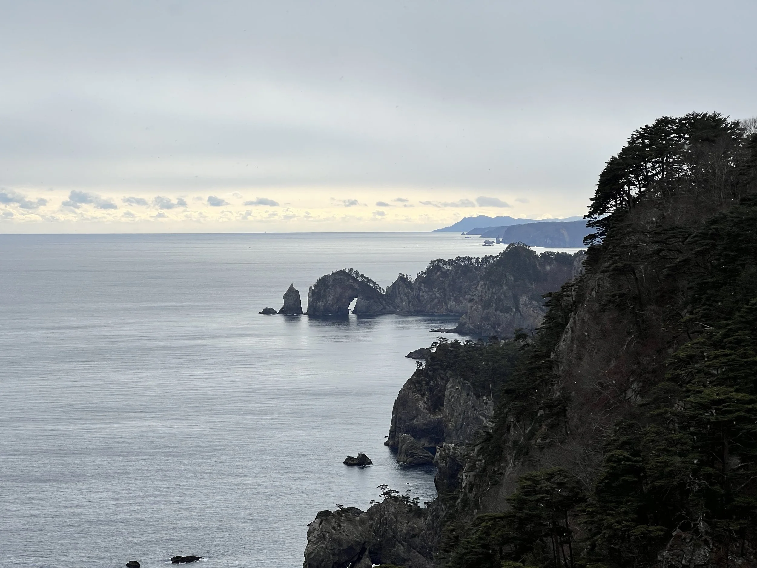
The first 8 kilometres were fairly easy, with gentle climbs and descents. I made good time to Kitayamazaki Cape, a breathtaking spot with dramatic rock formations and turquoise waters that reminded me of Australia’s Twelve Apostles. The visitor centre was closed for the holidays, but luckily the washrooms were open. I ducked into a small souvenir shop nearby and enjoyed a hot bowl of ramen—a welcome break as the wind picked up and snow began to fall. Leaving that warmth behind to continue on the last section of the day was difficult.
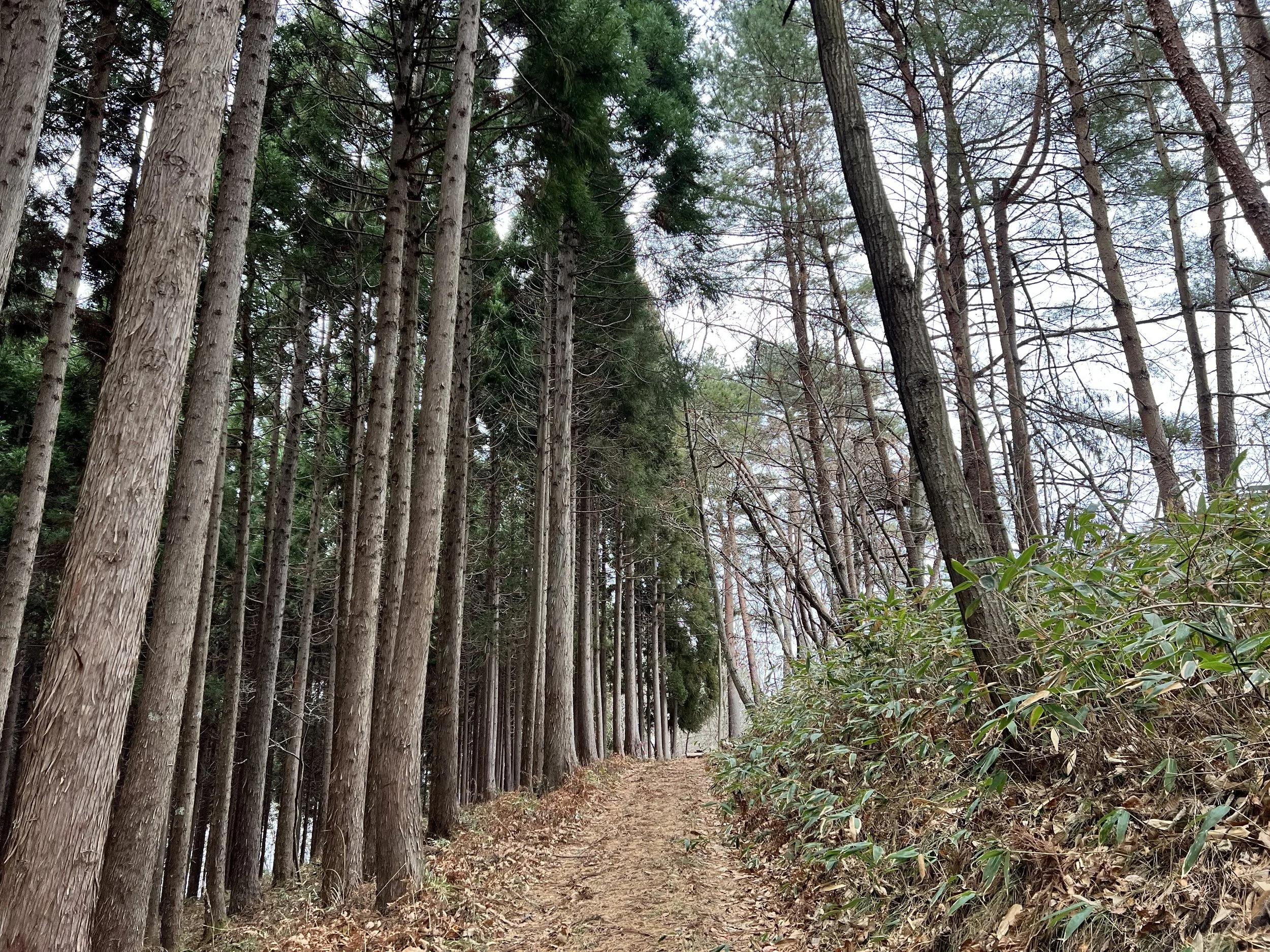
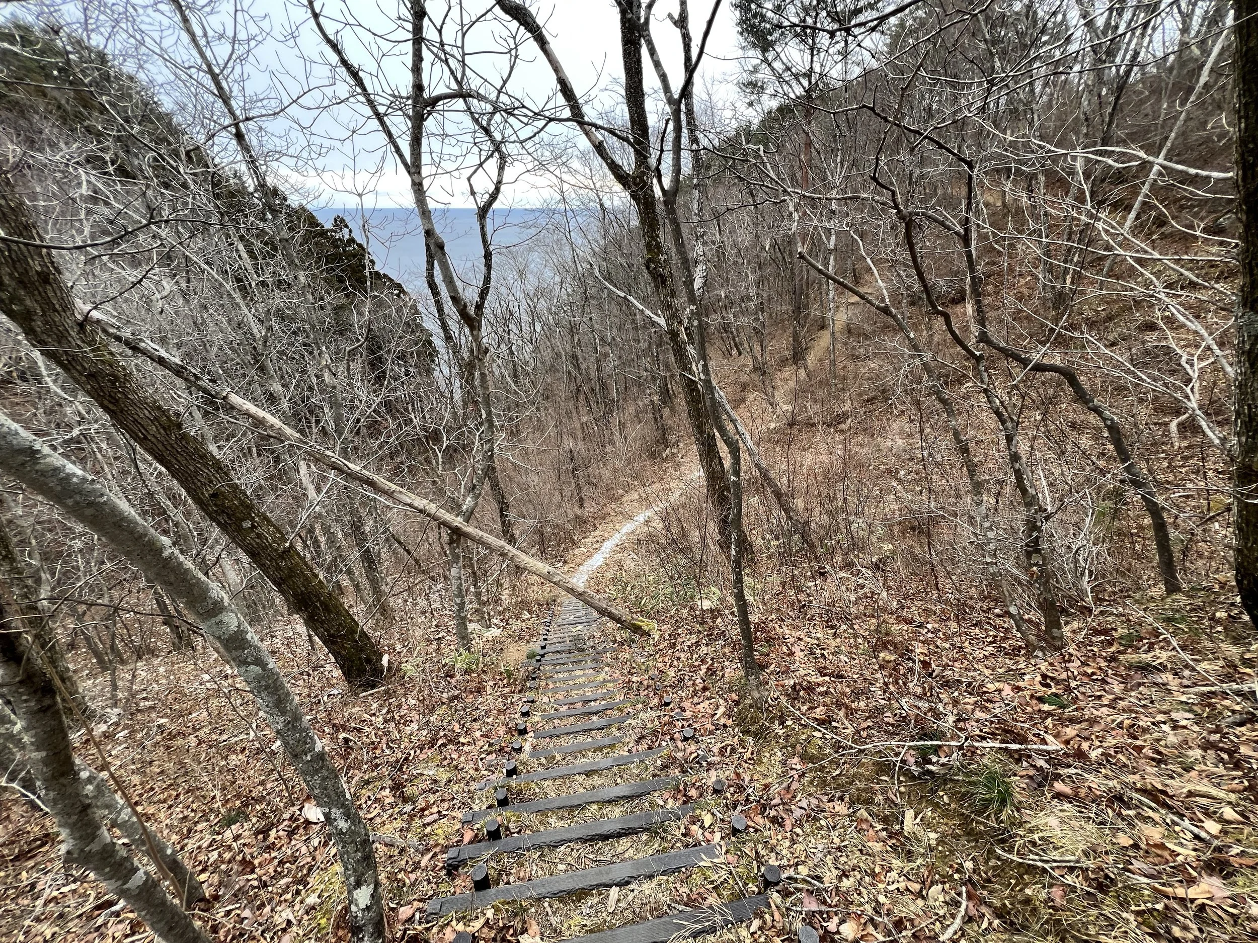
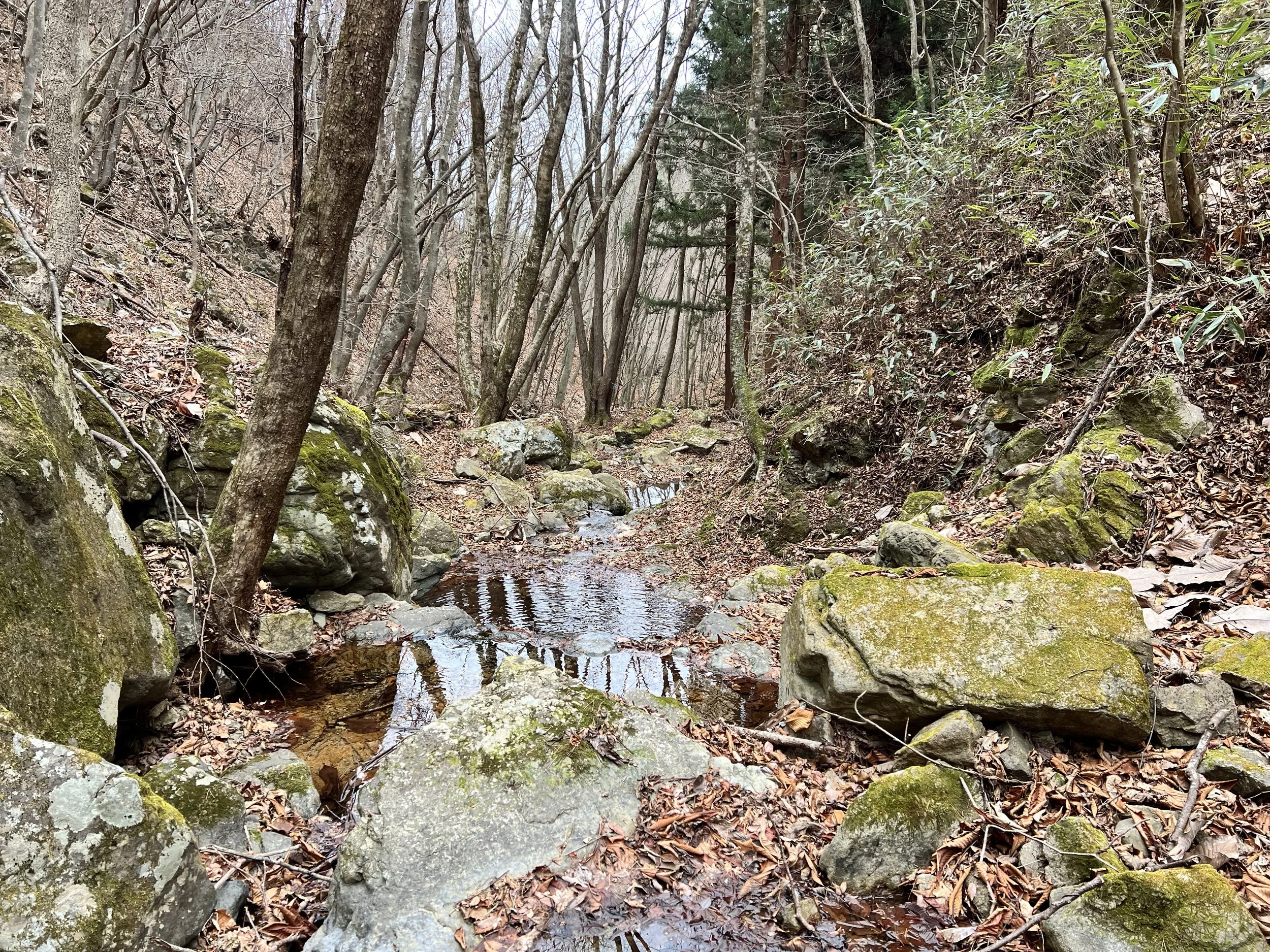
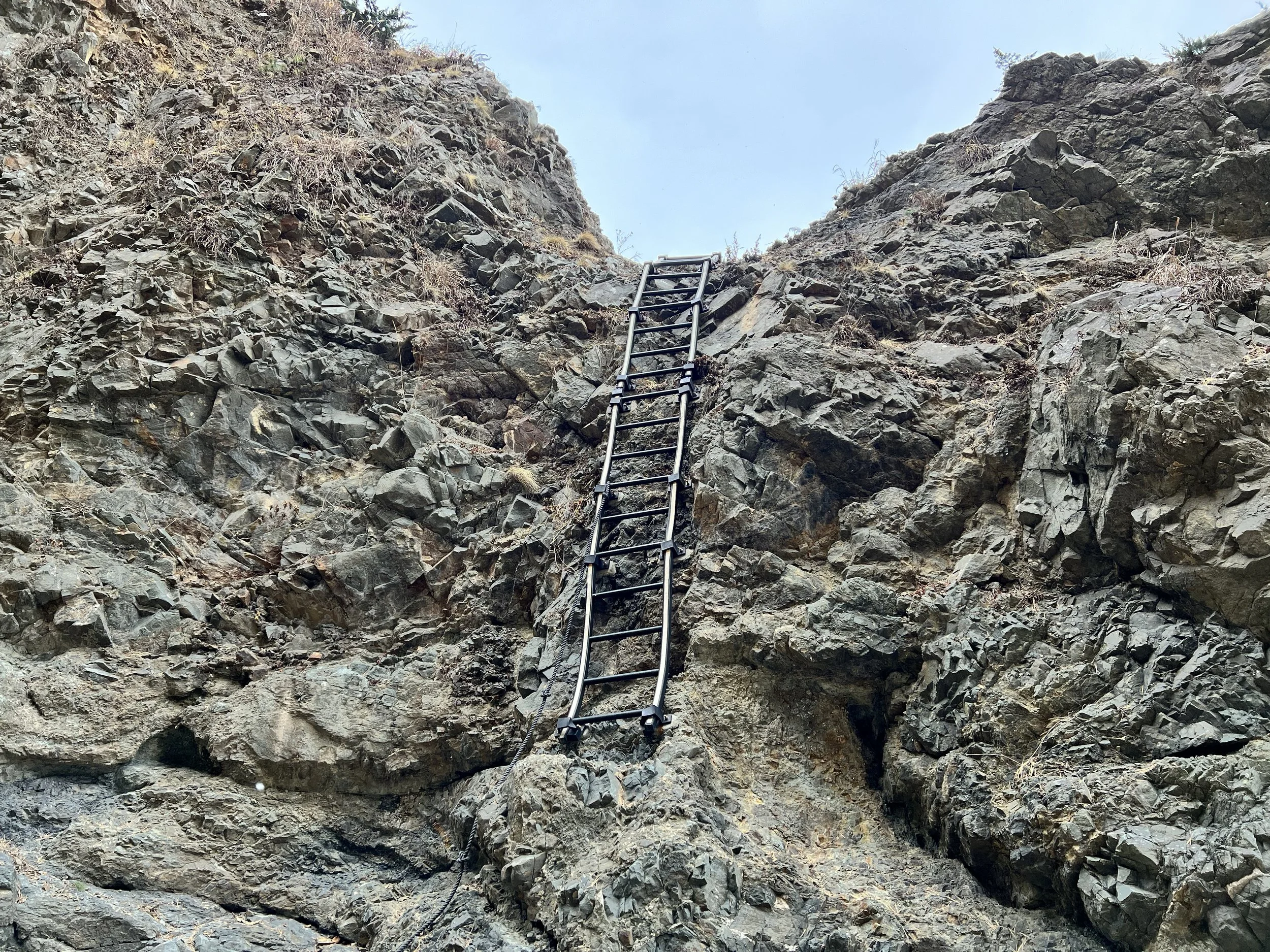
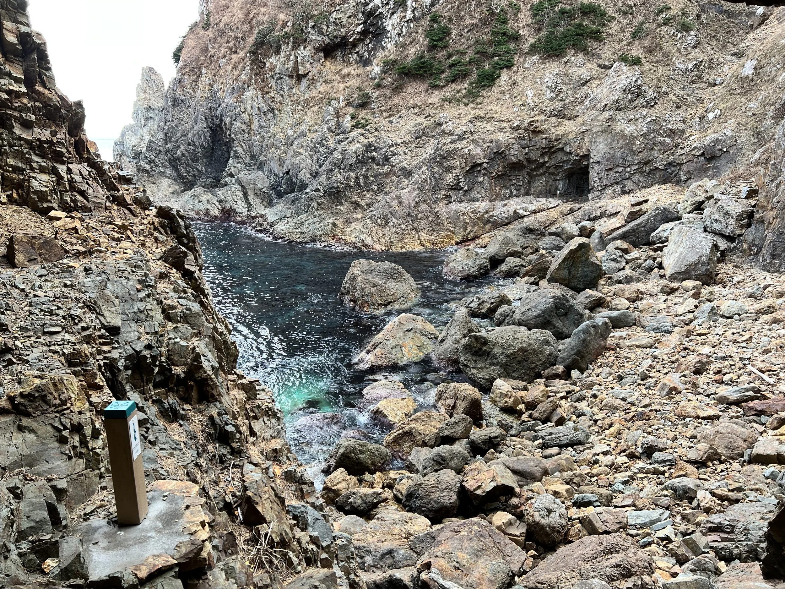
I pressed the counter at the next section and descended roughly 500 steps toward the ocean—only to climb right back up. This pattern repeated for over 10 kilometres. It was mentally exhausting, but the views at the top made every step worth it. There were a few highlights along this rugged stretch: two hand-dug tunnels you walk through to reach the other side, and a couple of cliffside ladders—one rather sketchy, anchored on just one side. The descent down one of these ladders would be a real challenge for anyone afraid of heights.
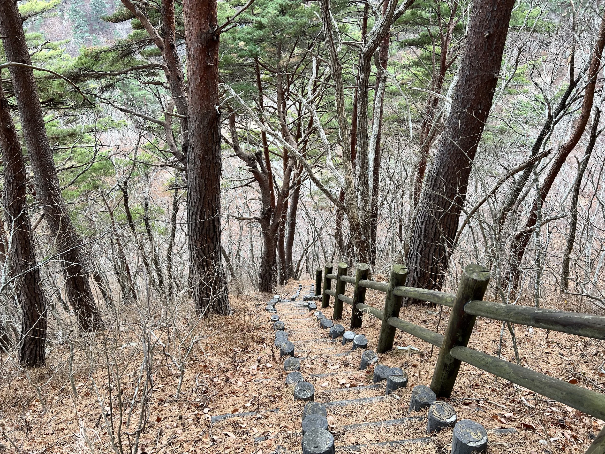
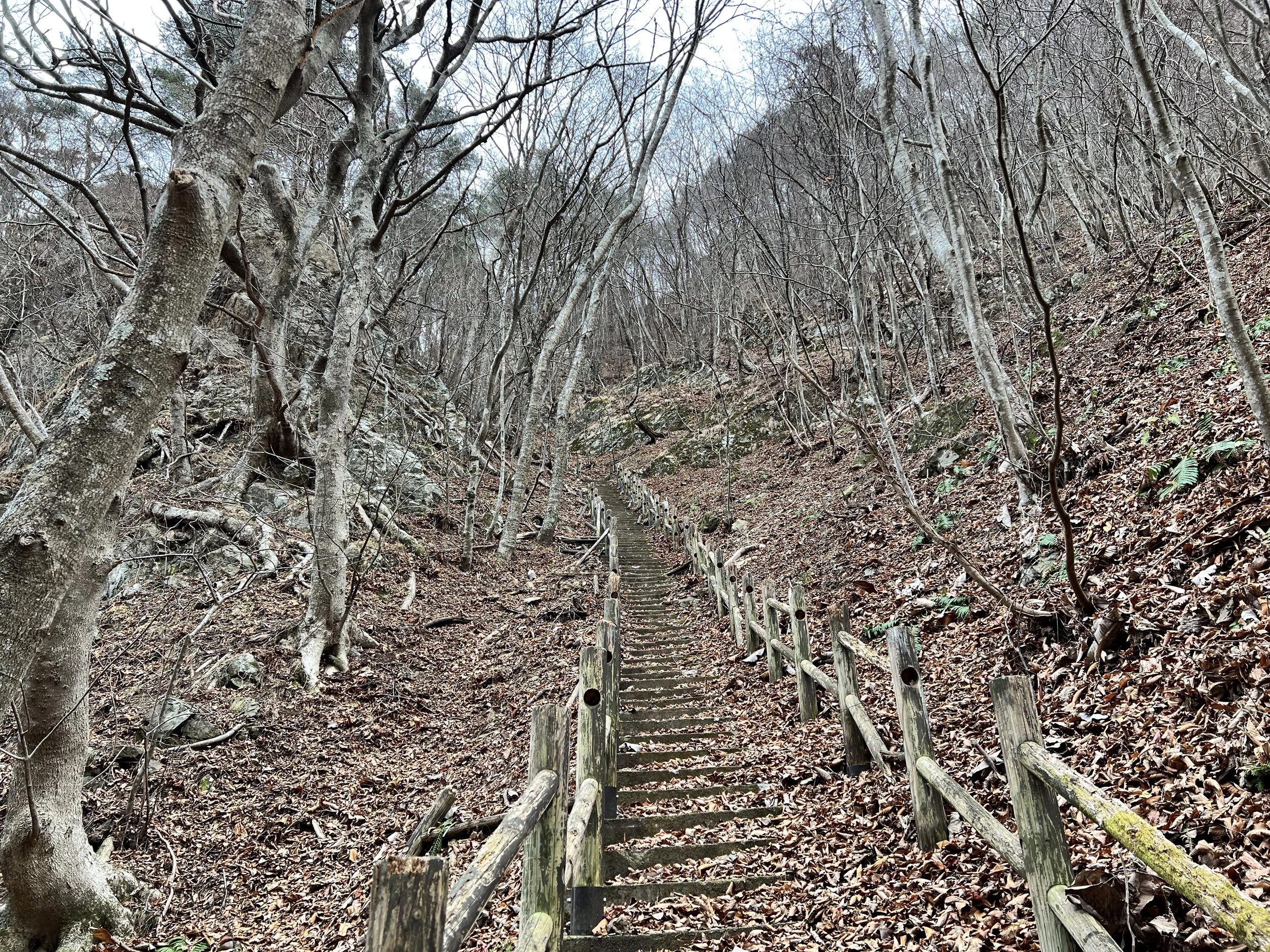
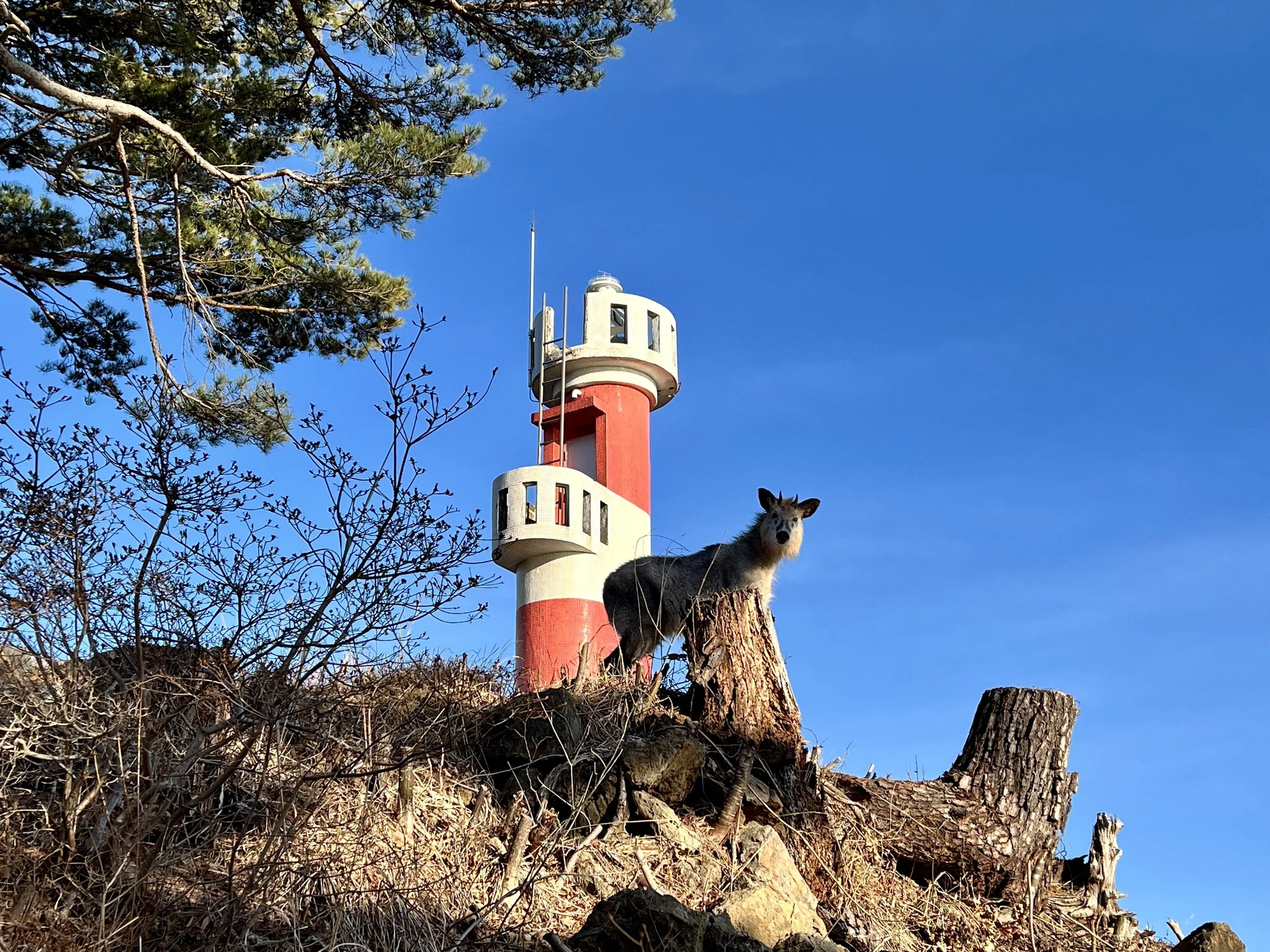
Eventually, I reached Tsukue Fishing Port and took a short break before tackling the final climb toward Benten Cape. This last section was especially slippery—the wooden steps were rotted in places and covered in fallen leaves. As I climbed toward Rikuchu Bentenzaki Lighthouse as I looked up, I suddenly noticed a pair of eyes staring back at me. It was a Japanese serow, a rare and reclusive animal considered a symbol of luck and resilience in Japan. I froze, not wanting to startle it. We locked eyes for a few seconds before I quietly backed away. Seeing it there, framed by the lighthouse, was an unforgettable moment—and one of my favourite photos I’ve ever taken.
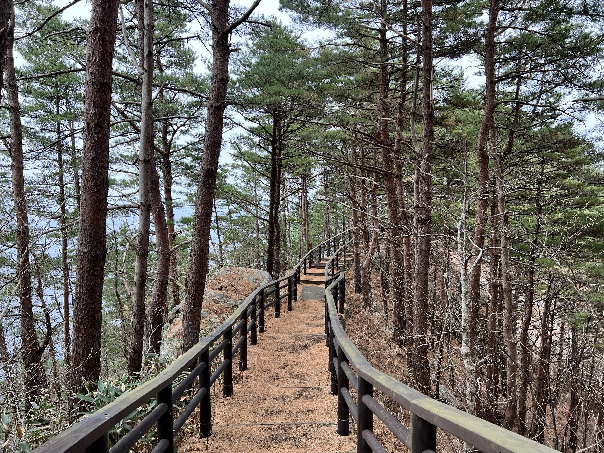
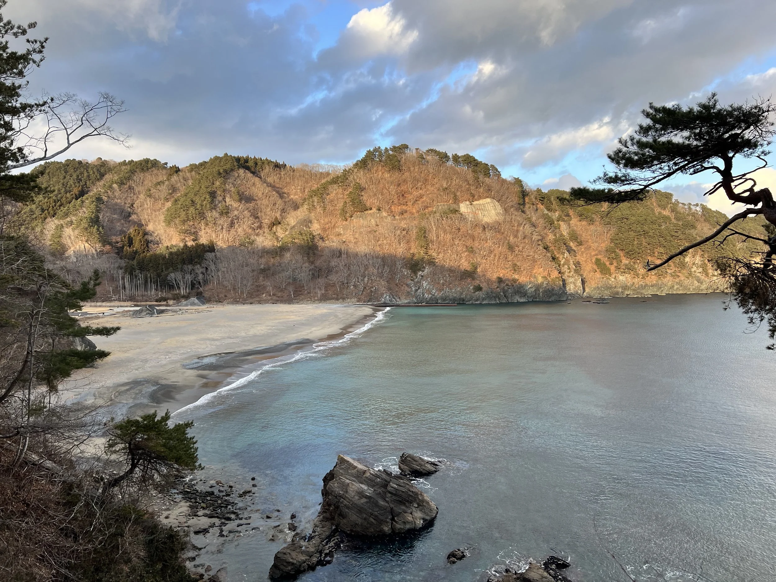
At the top, Benten Cape offered sweeping panoramic views of pine forests and turquoise seas. The final stretch of the hike followed the road toward Tanohata, passing the Aketo Campground, a popular rest point for Michinoku hikers, where remnants of the 2011 tsunami remain visible.
I followed the main road into town, heading for Tanohata Station. I hurried at first, hoping to catch the next train, but soon realized I wouldn’t make it anyway, so I slowed down and took in the sunset. When I finally arrived, the station and its washrooms were closed, but thankfully, the waiting area on the platform was enclosed. I was grateful for that small comfort—it wasn’t the most exciting way to end the day, but after such a long hike, I was content just to sit and rest.
History & Background
This section of the Michinoku Coastal Trail runs between Kurasakiso (a hotel area near Kitayamazaki Cape) and Tanohata Station, following one of the most scenic coastal stretches in northern Iwate. The trail passes through the Sanriku Fukko National Park, an area defined by steep cliffs, hidden coves, and bright turquoise waters formed by ancient volcanic activity.
Kitayamazaki Cape, often called the “Alps of the Sea,” features 200-meter-high cliffs and striking limestone pillars shaped by the relentless waves of the Pacific. The region was heavily impacted by the 2011 Tohoku earthquake and tsunami, and many parts of the trail were later rebuilt as part of the Michinoku project to promote recovery and sustainable tourism.
Benten Cape, named after Benzaiten—the goddess of water, music, and fortune—symbolizes prosperity and resilience, perfectly capturing the spirit of this rugged coastal region.
Getting There
To reach Kuji or Miyako in the Tohoku region, take the Tohoku Shinkansen to either Hachinohe (for Kuji) or Morioka (for Miyako). From there, transfer to the Sanriku Railway Rias Line or a connecting JR Yamada Line train. From either Kuji or Miyako, continue on the Sanriku Tetsudo Rias Line to Fudai Station.
Once in Fudai, you can take a community bus (service is limited) or a taxi to reach Kurosakiso Hotel. If you have access to a car, driving is the most straightforward and flexible way to get there.
Route Overview
Distance: 23.7 km (Kurosakiso → Tanohata Station)
Total elevation gain: 1,175 m
Duration: 6 hr 19 min (with breaks 7 hr 13 min)
Difficulty: Challenging
Cost Breakdown
Train: Tanohata Station → Miyako Station — ¥1,010
Food: ¥850
Accommodation: Hotel Miyako Hills (booked via Agoda) — C$75.08