Mount Yokoyama - Mie, Japan
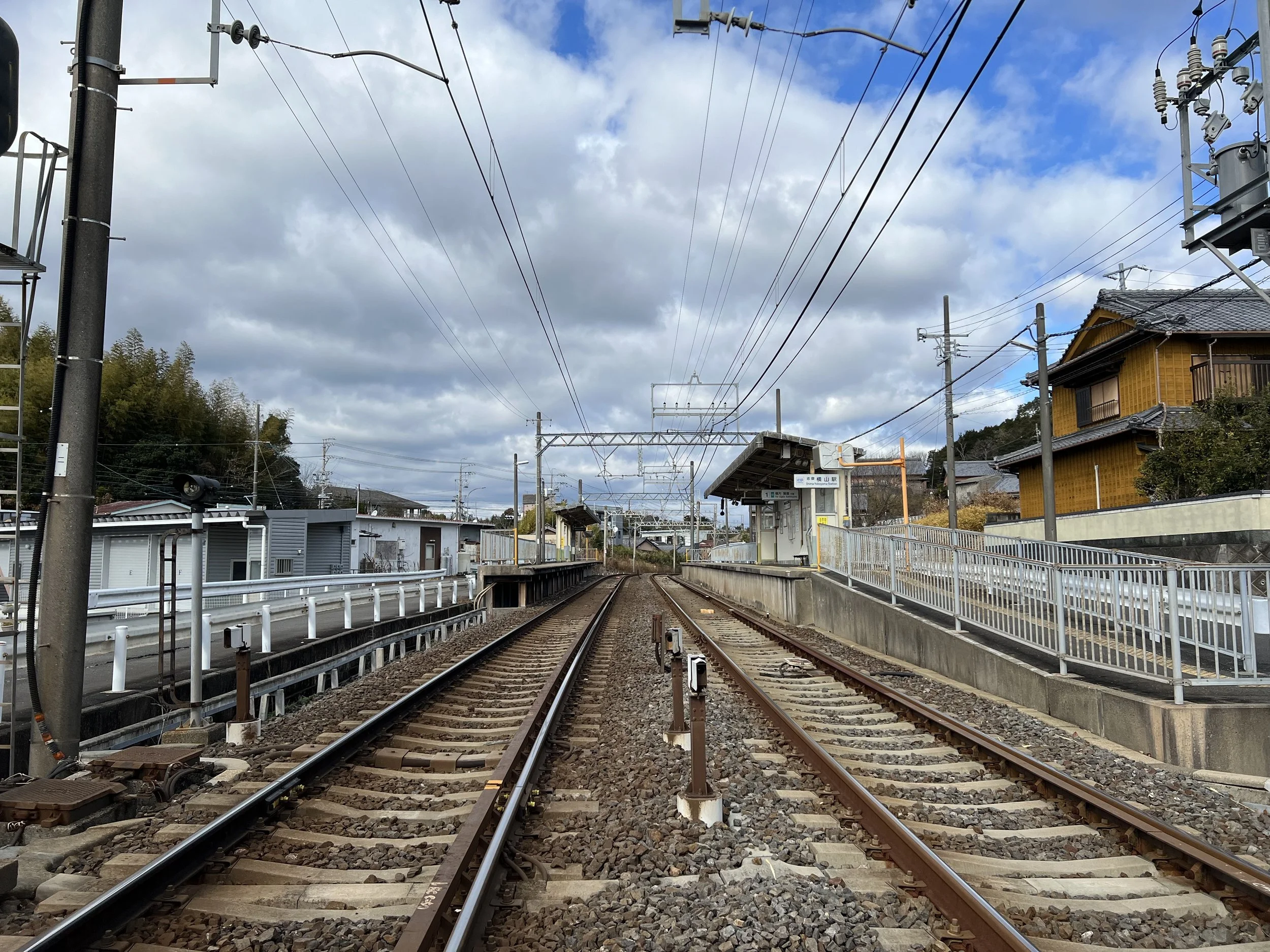
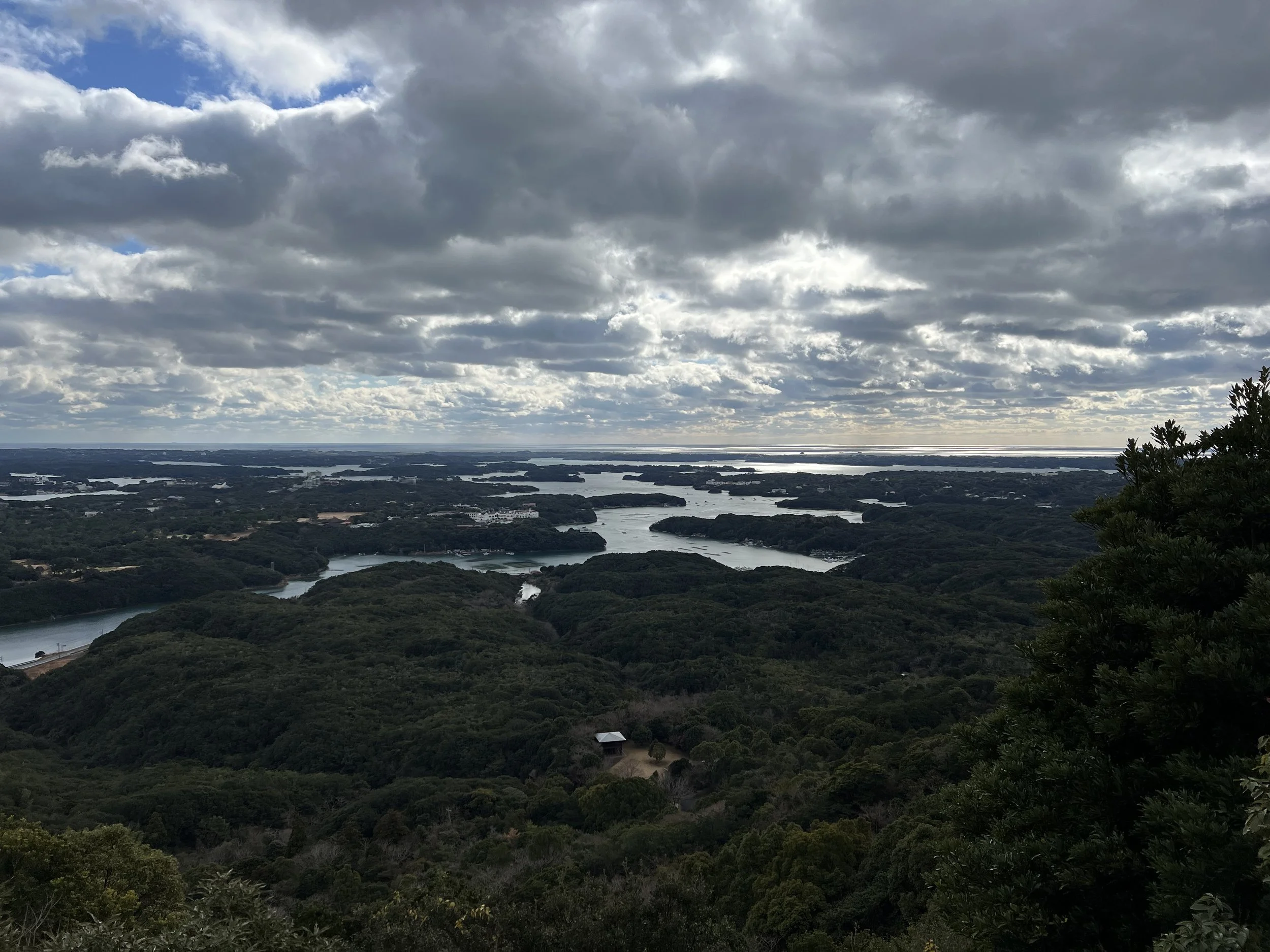
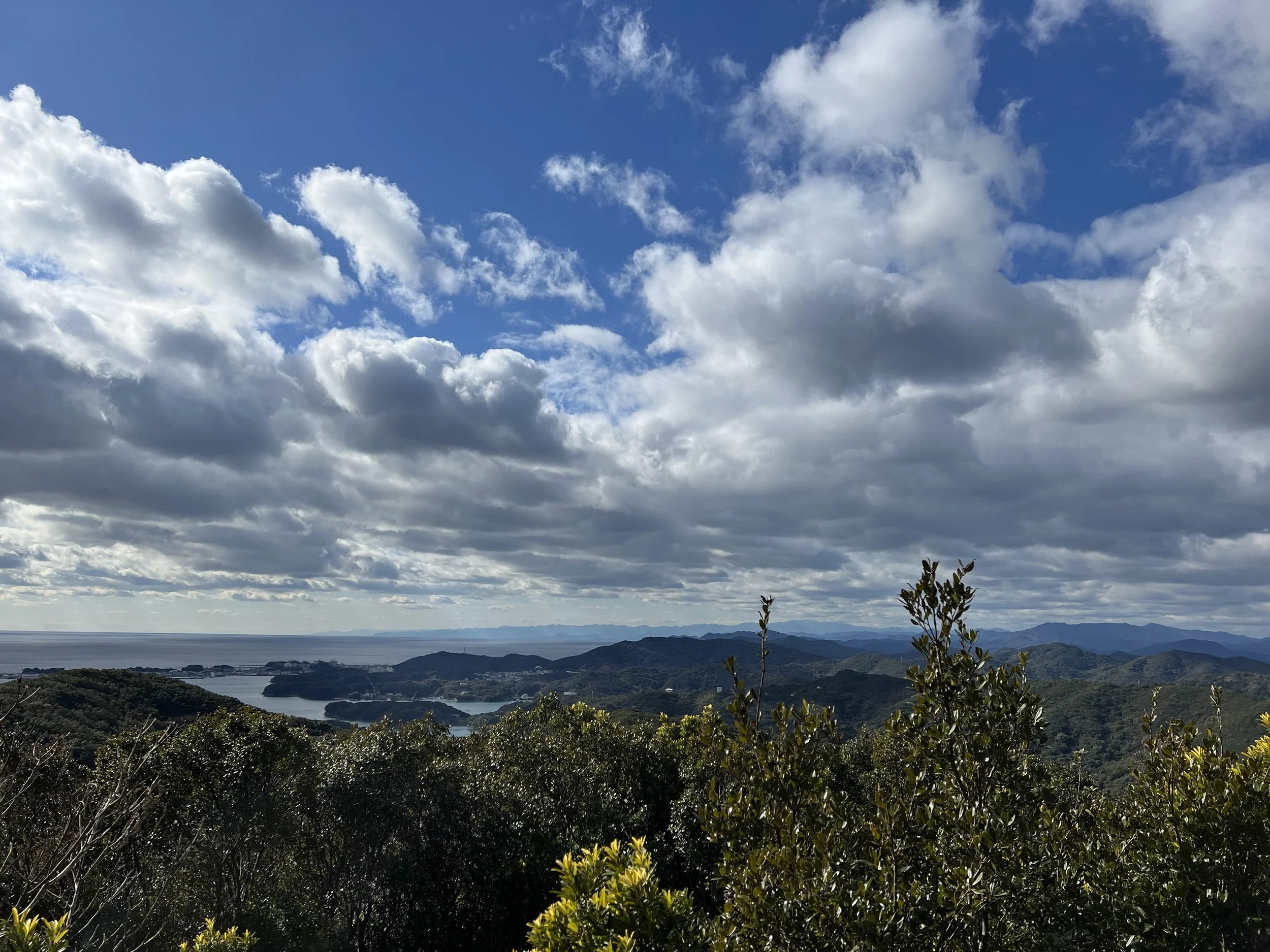
I initially considered taking a boat around Ago Bay, but I chose to hike Mount Yokoyama (203 m) instead. From the summit, the islands and inlets of Ago Bay are far clearer than from the water. The closest public transport is Shima-Yokoyama Station, about a 30-minute walk from the trailhead.
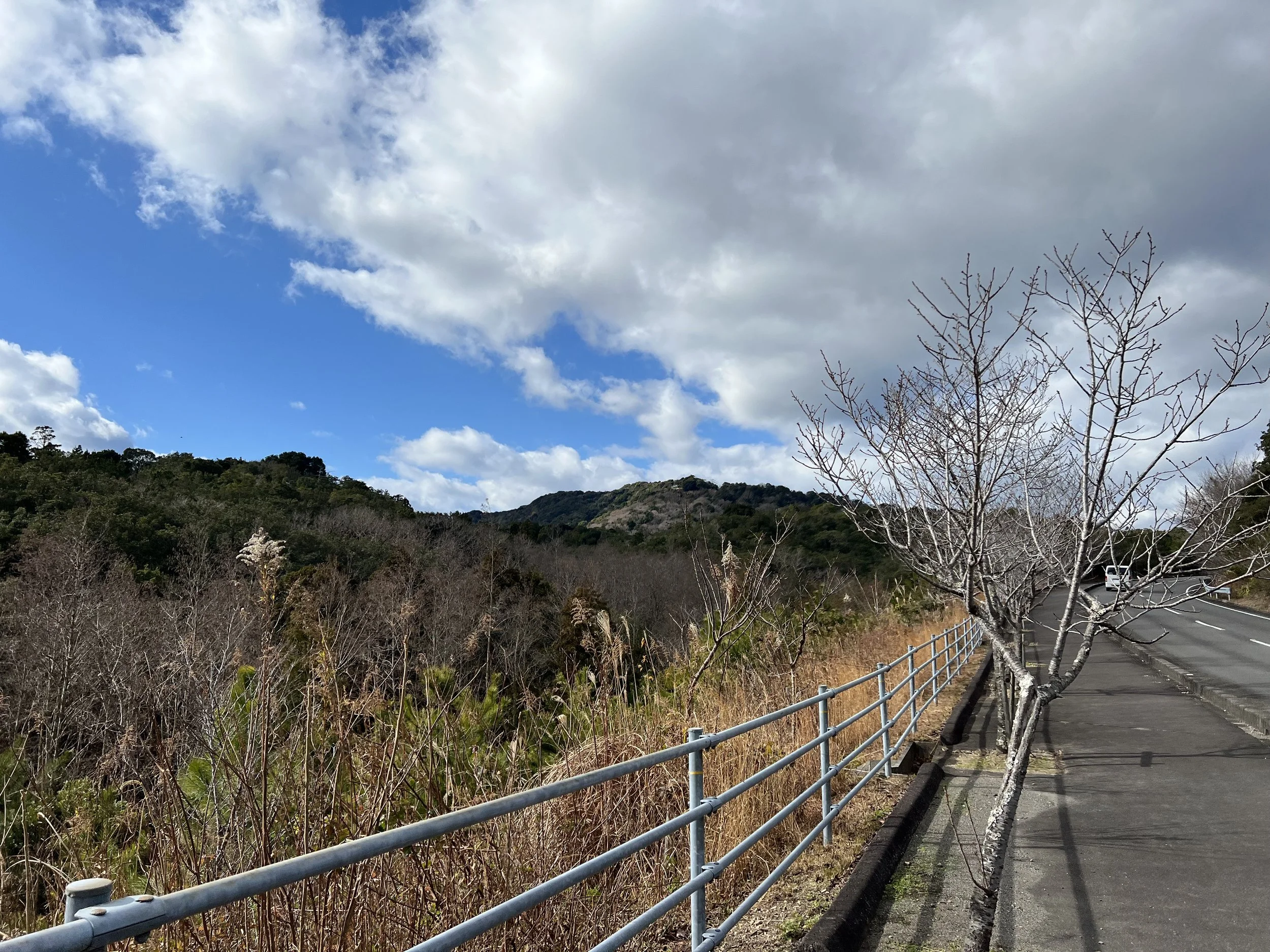
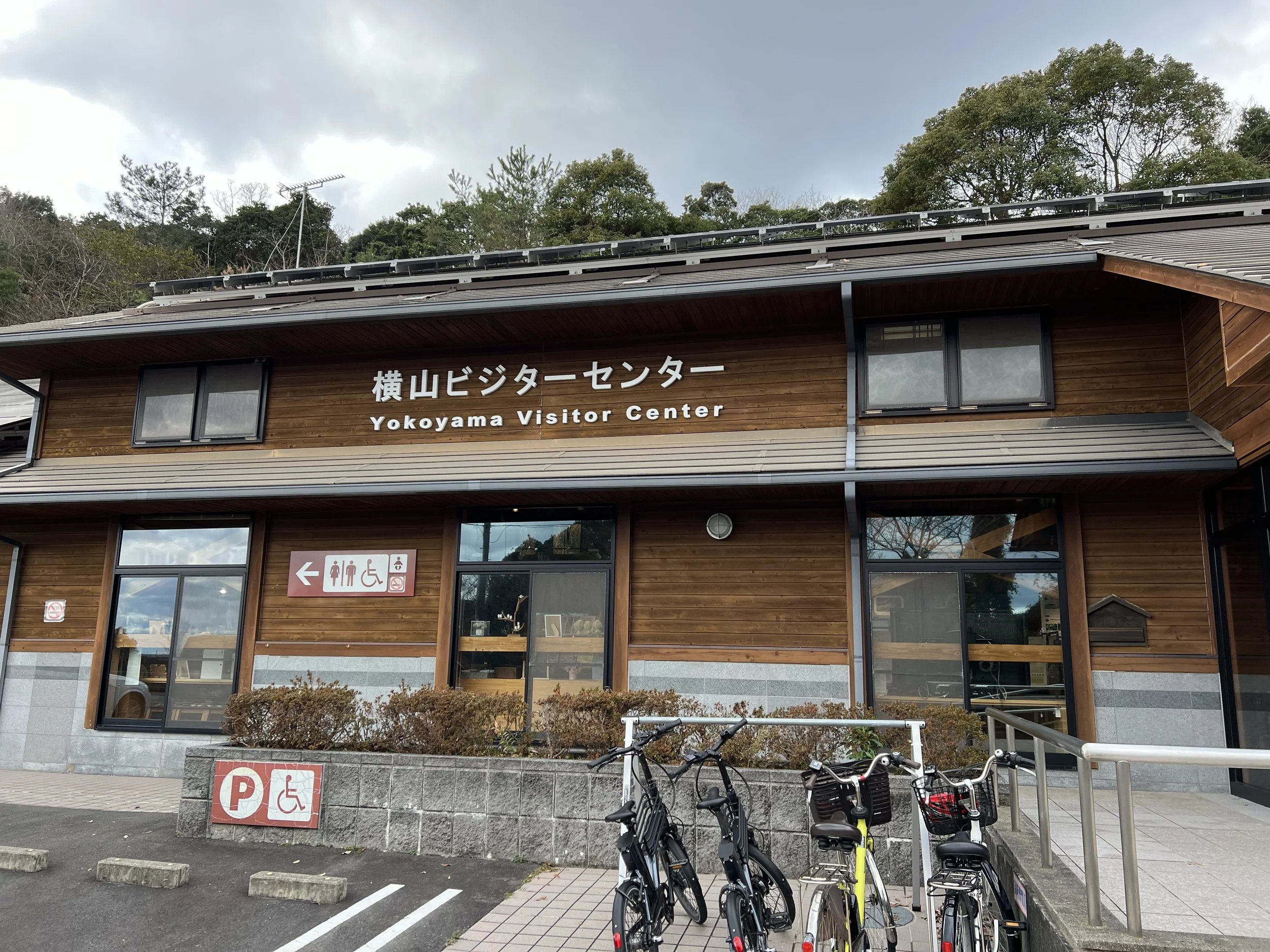
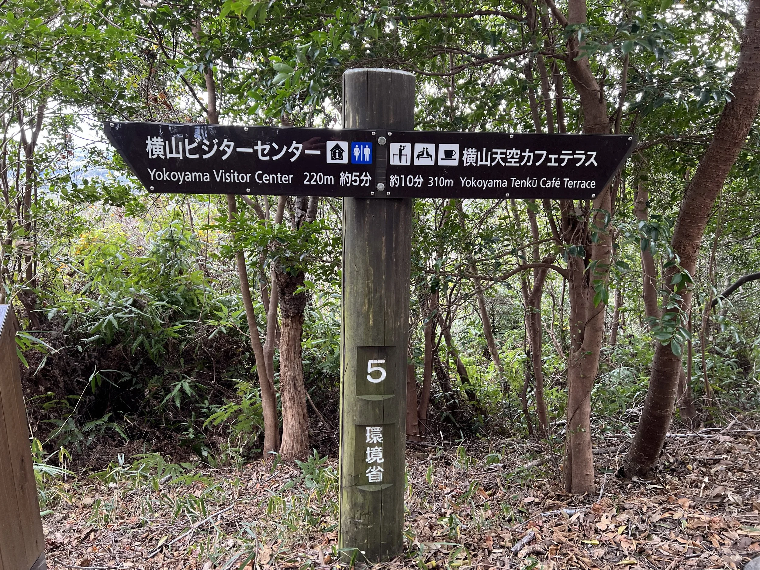
The walk to the trailhead follows a paved sidewalk along the mountain road, offering pleasant views of lush trees and rolling hills. At the entrance, there’s a small visitor centre with informative displays about the area and clean restrooms—a perfect spot to prepare for the hike.
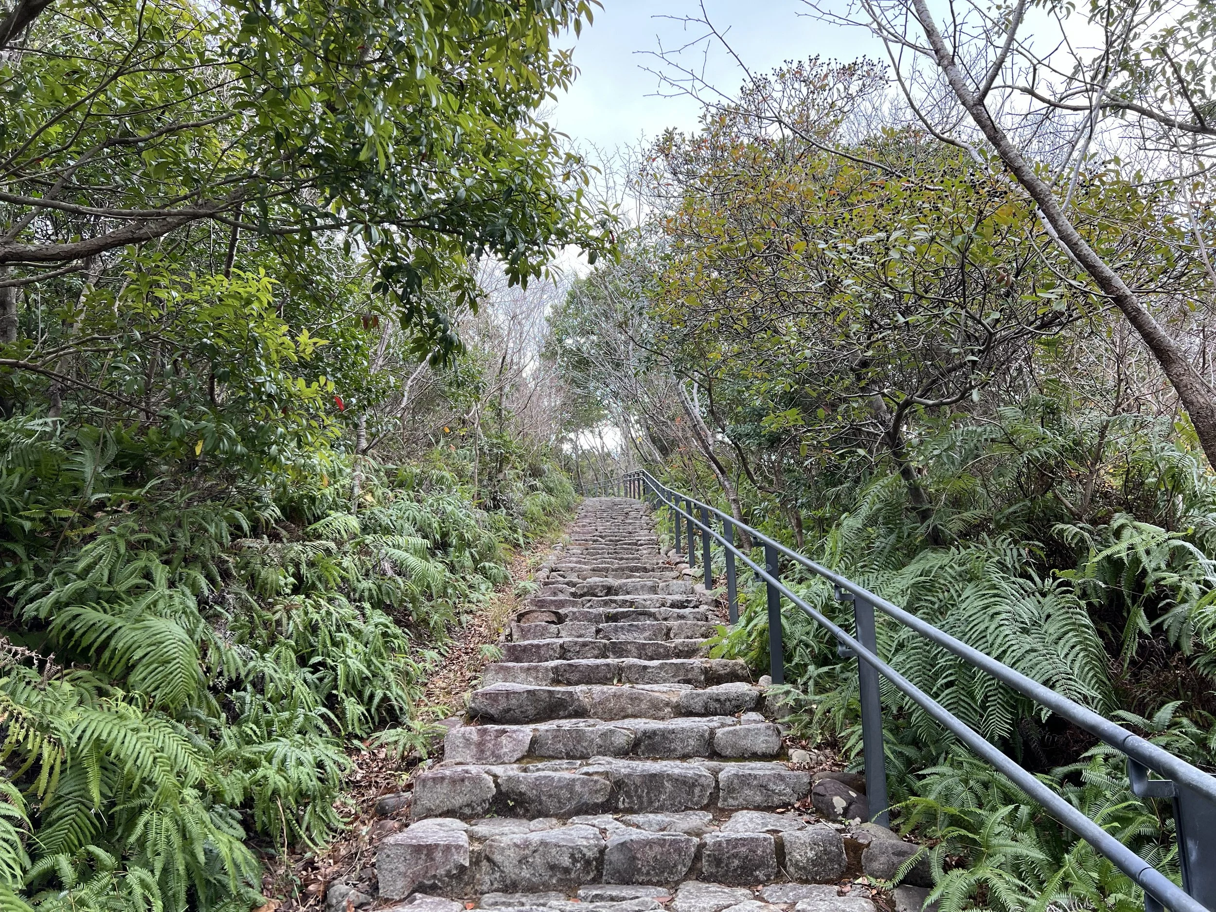
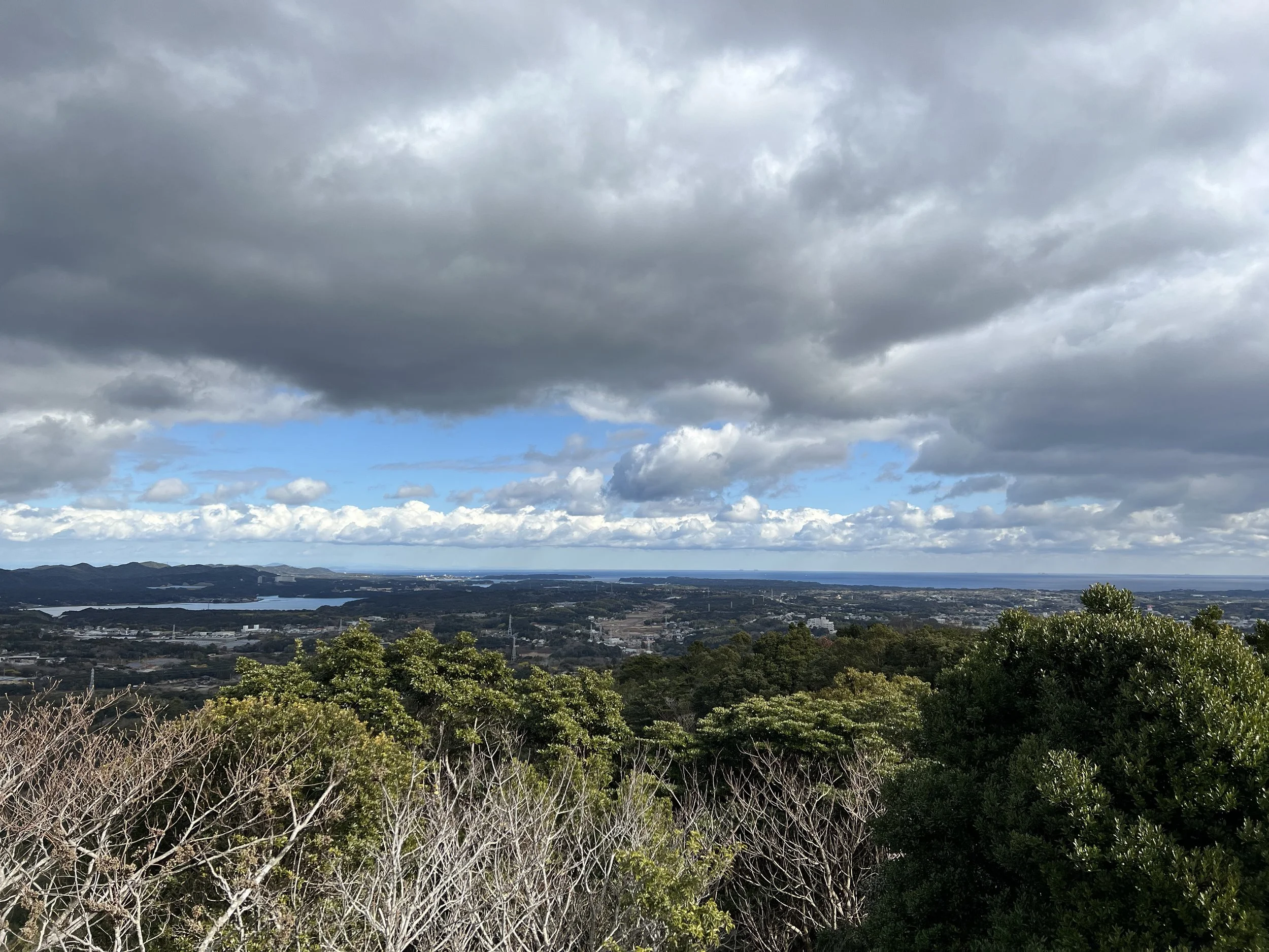
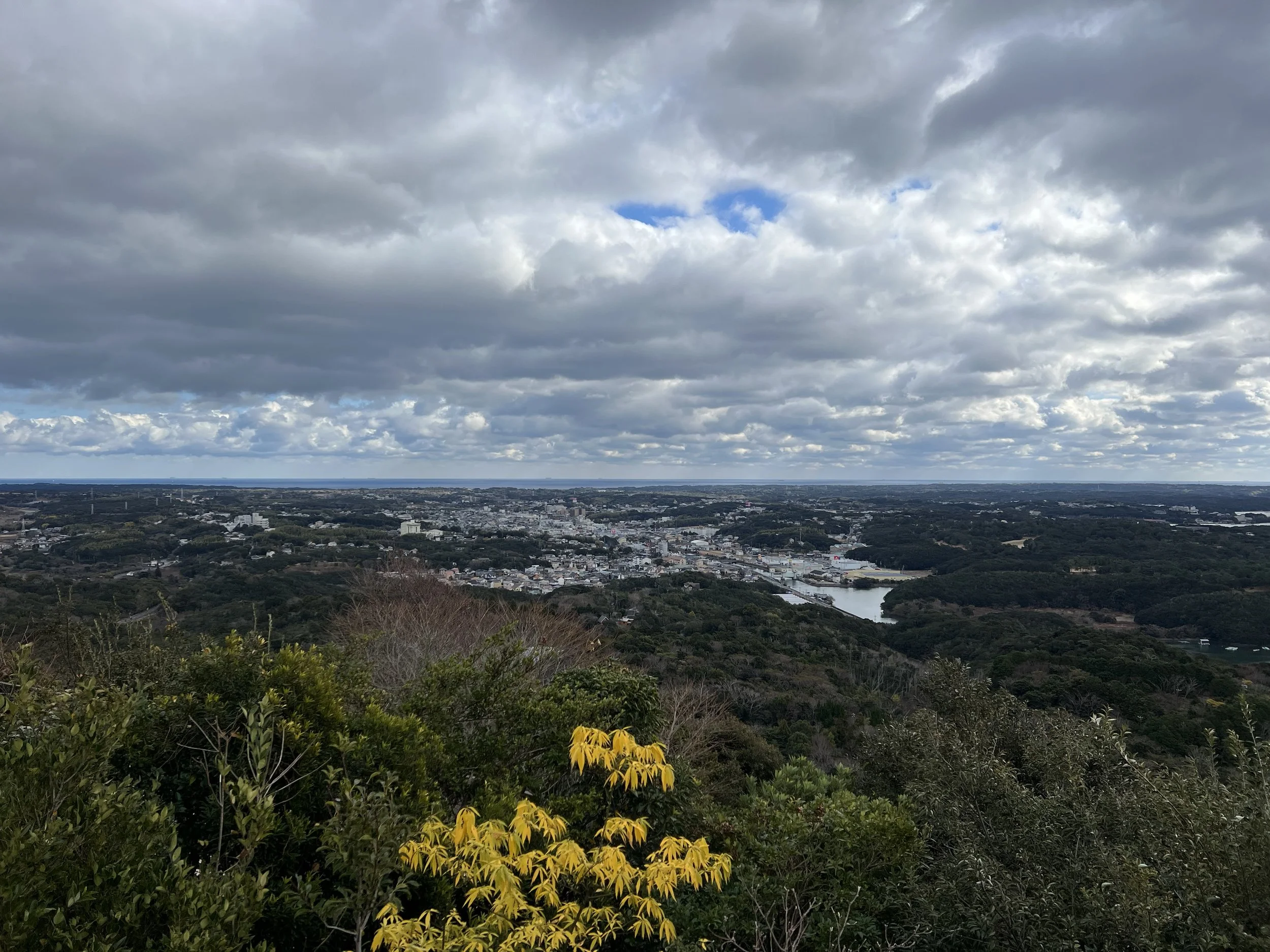
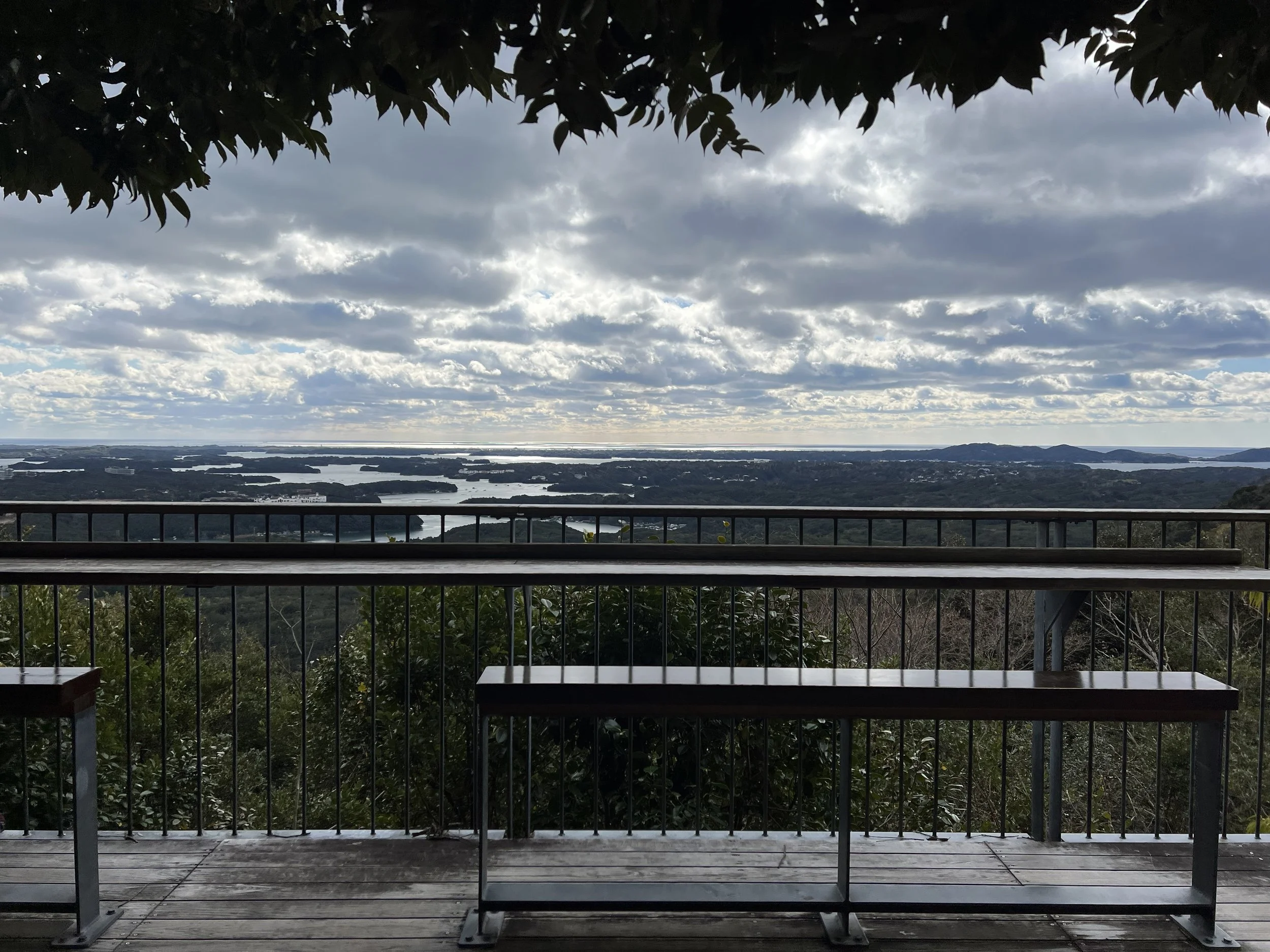
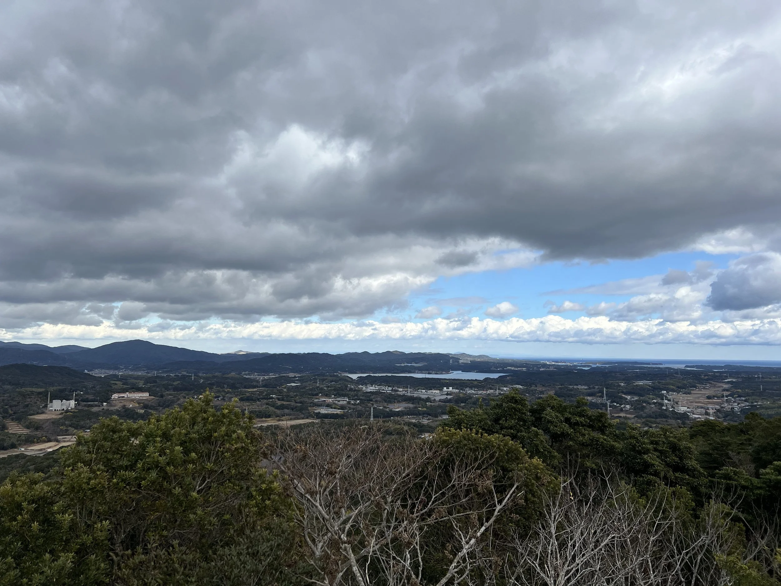
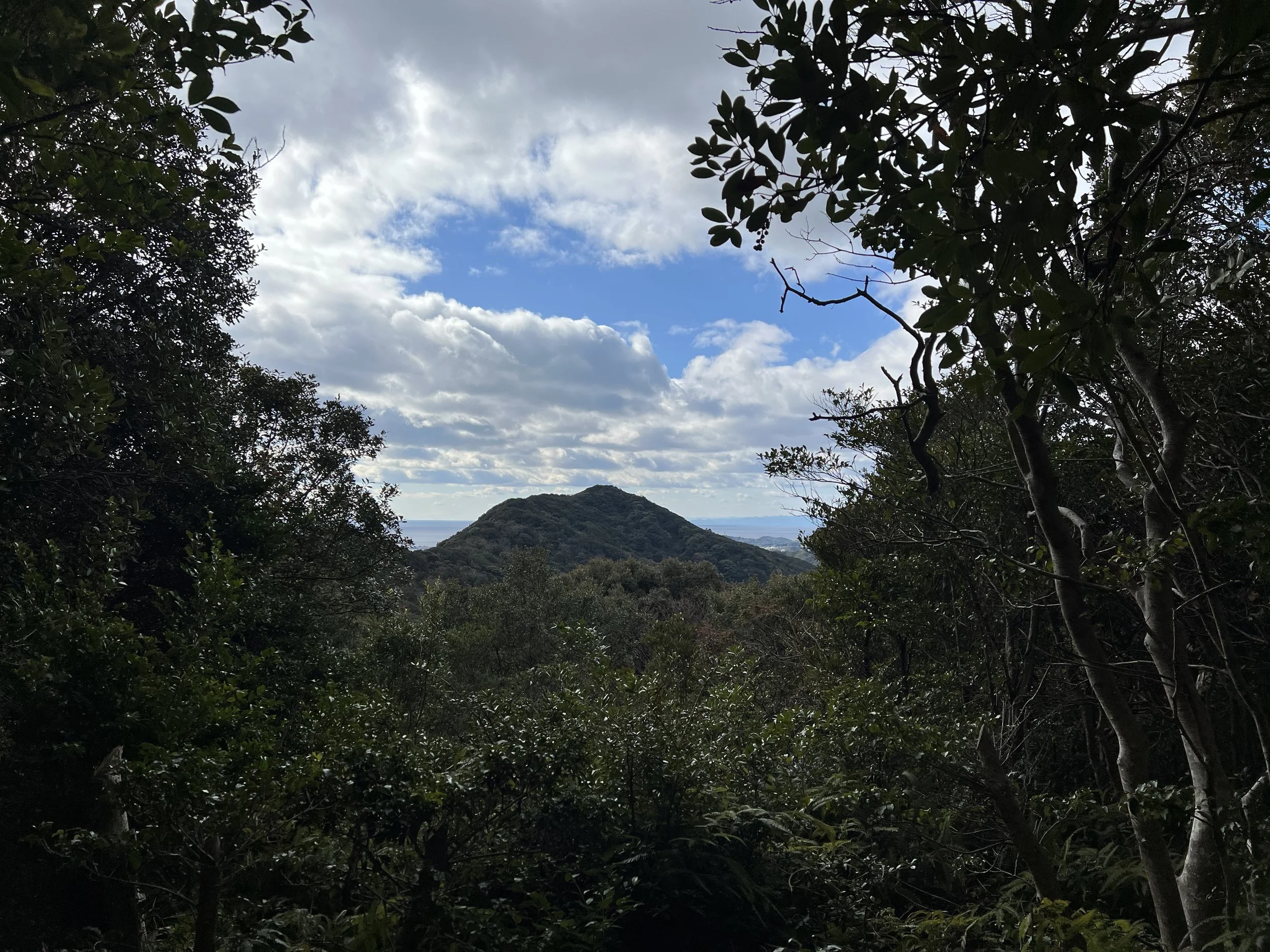
The trail starts with short stone steps leading to the first viewpoint and a nearby café parking lot. Most visitors stop here, as the view is impressive and easily accessible. I continued further up the trail to reach additional viewpoints. One mid-way spot is known for views of Mt. Fuji, but it was too cloudy to see it that day.
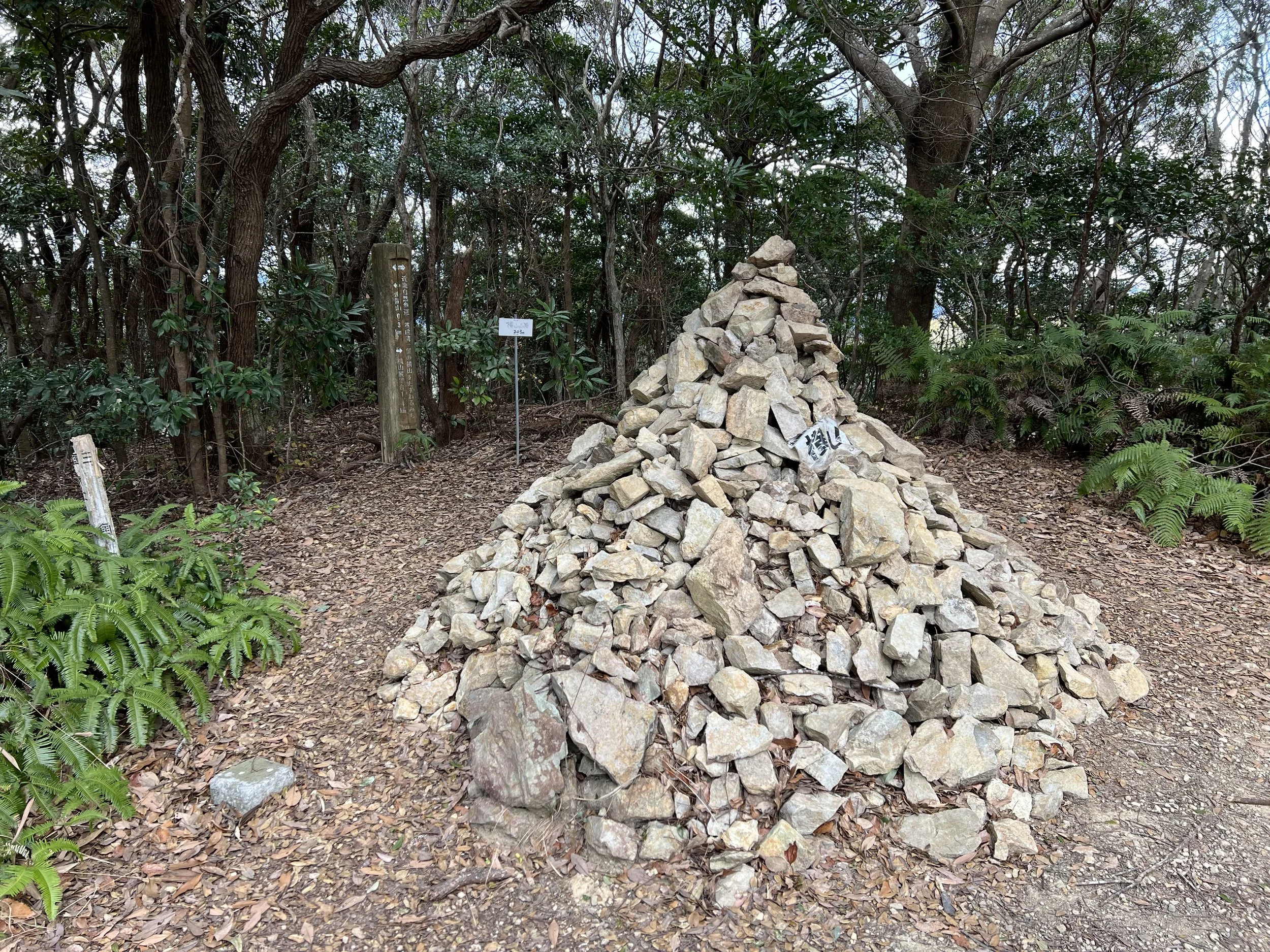
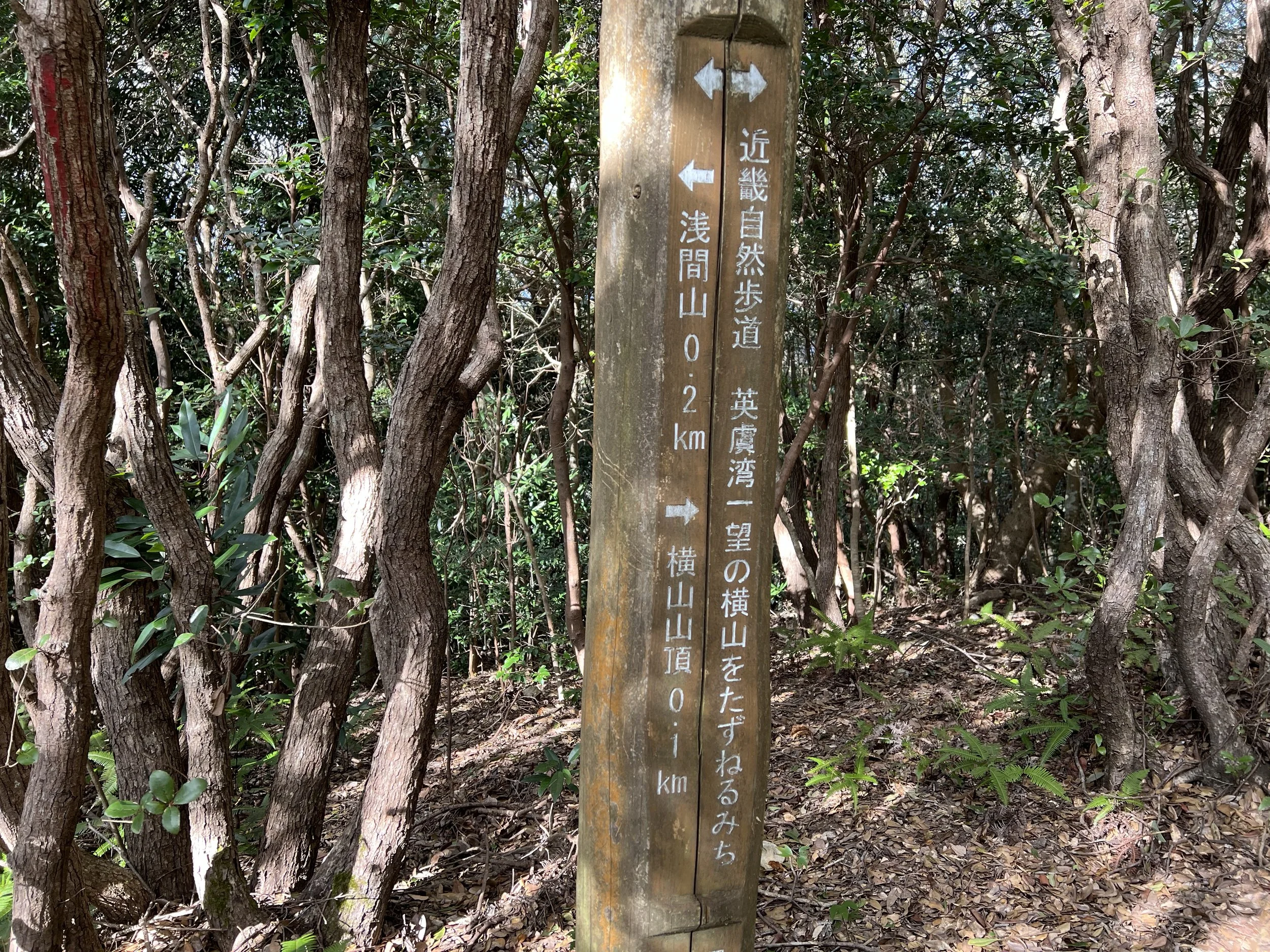
The summit itself is marked by a simple stone pile and doesn’t offer any particular view, so I continued a few hundred metres to the final Ago Bay viewpoint. It was peaceful and quiet—I had the platform to myself and took a snack break while soaking in the expansive coastal scenery.
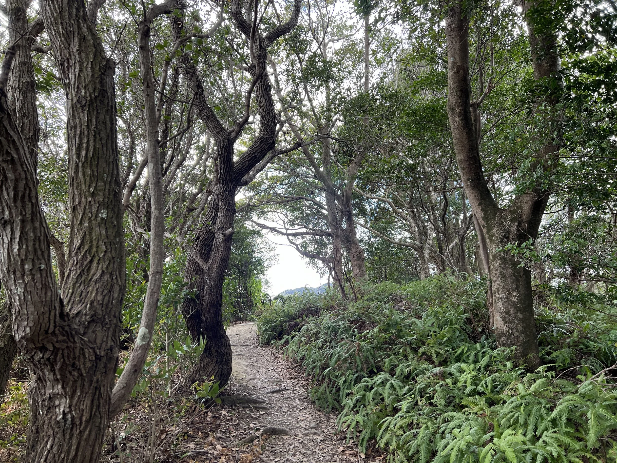
Overall, the hike is easy, with well-maintained paths and stone steps, and provides beautiful views of Ago Bay. Without a car, the walk from the station can be a bit long, but the scenery and serene atmosphere make it worthwhile.
Background
Mount Yokoyama overlooks Ago Bay, part of the Shima region in Mie Prefecture, long renowned for its coastal beauty and pearl cultivation. Ago Bay’s intricate network of islands and inlets, often called the “Japanese fiords,” has been a centre for marine culture and pearl farming for over a century. The mountain itself has been a local hiking destination for years, with trails developed to give visitors panoramic views of the bay, surrounding hills, and, on clear days, Mt. Fuji.
Getting There
From Ise or nearby cities, take the Kintetsu Shima Line to Shima-Yokoyama Station. The trailhead is roughly a 30-minute walk from the station along a paved, clearly signed path.
For those driving, parking is available near the visitor centre and first viewpoint. Once at the trailhead, the paths are well-marked, and the summit and viewpoints are easy to navigate on foot.
Route Overview
Distance: 9.09 km out & back (Shima-Yokoyama Station)
Total elevation gain: 346 m
Duration: 2 hr 1 min (with breaks 2 hr 12 min)
Difficulty: Intermediate
Peak: Mt Yokoyama 横山 203m
Cost Breakdown
Train: Ujiyamada Station → Shima-Yokoyama Station — ¥710