Michinoku Coastal Trail - Kesennuma Station to Oshima Island - Miyagi, Japan
I didn’t plan much for New Year’s Day—it was mostly meant to be a travel day—but what better way to start the year than with a hike?
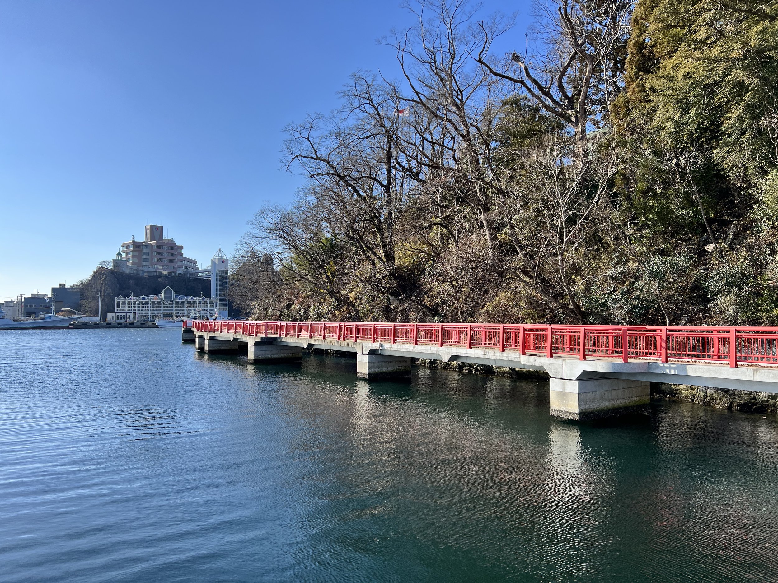
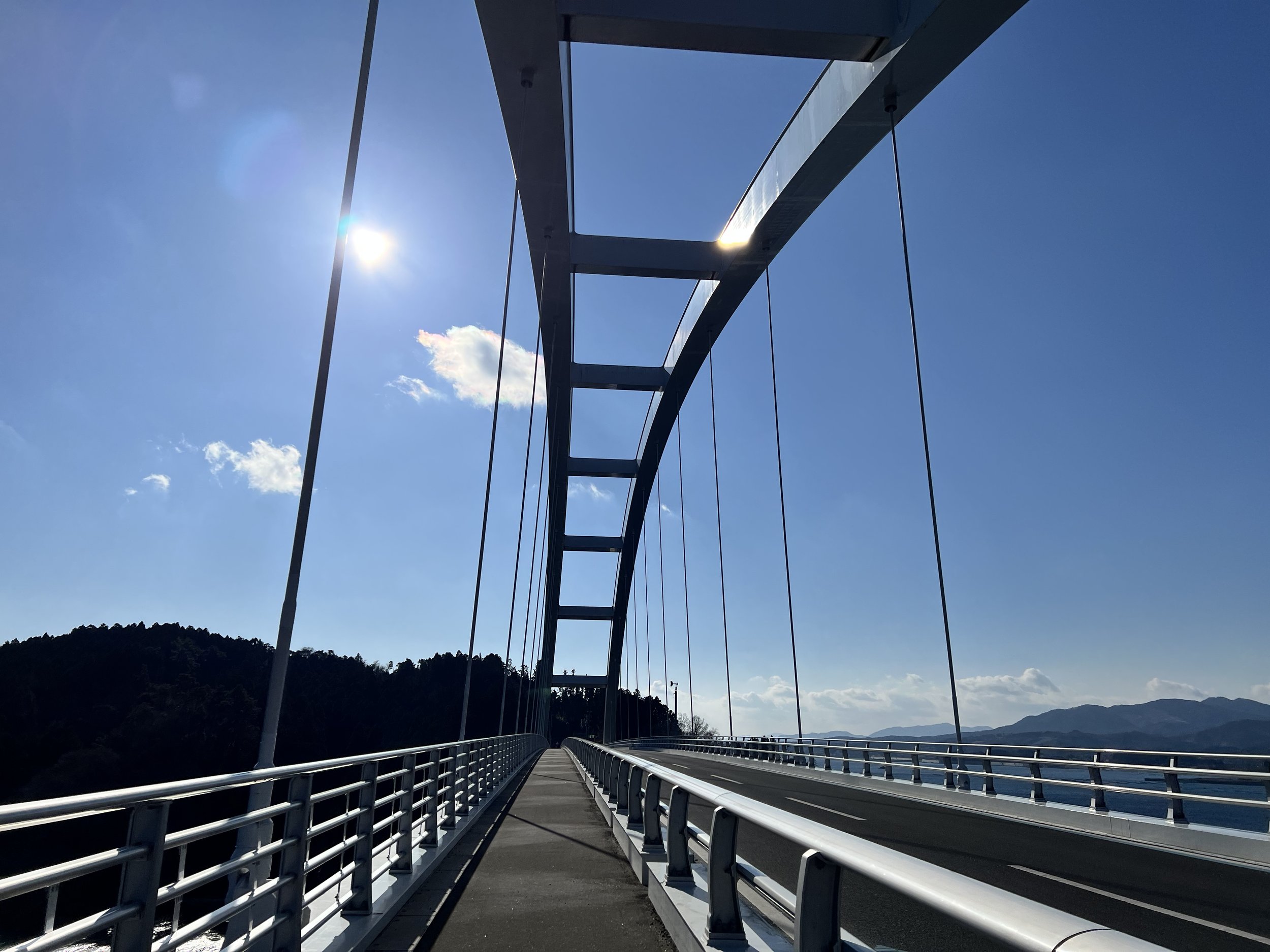
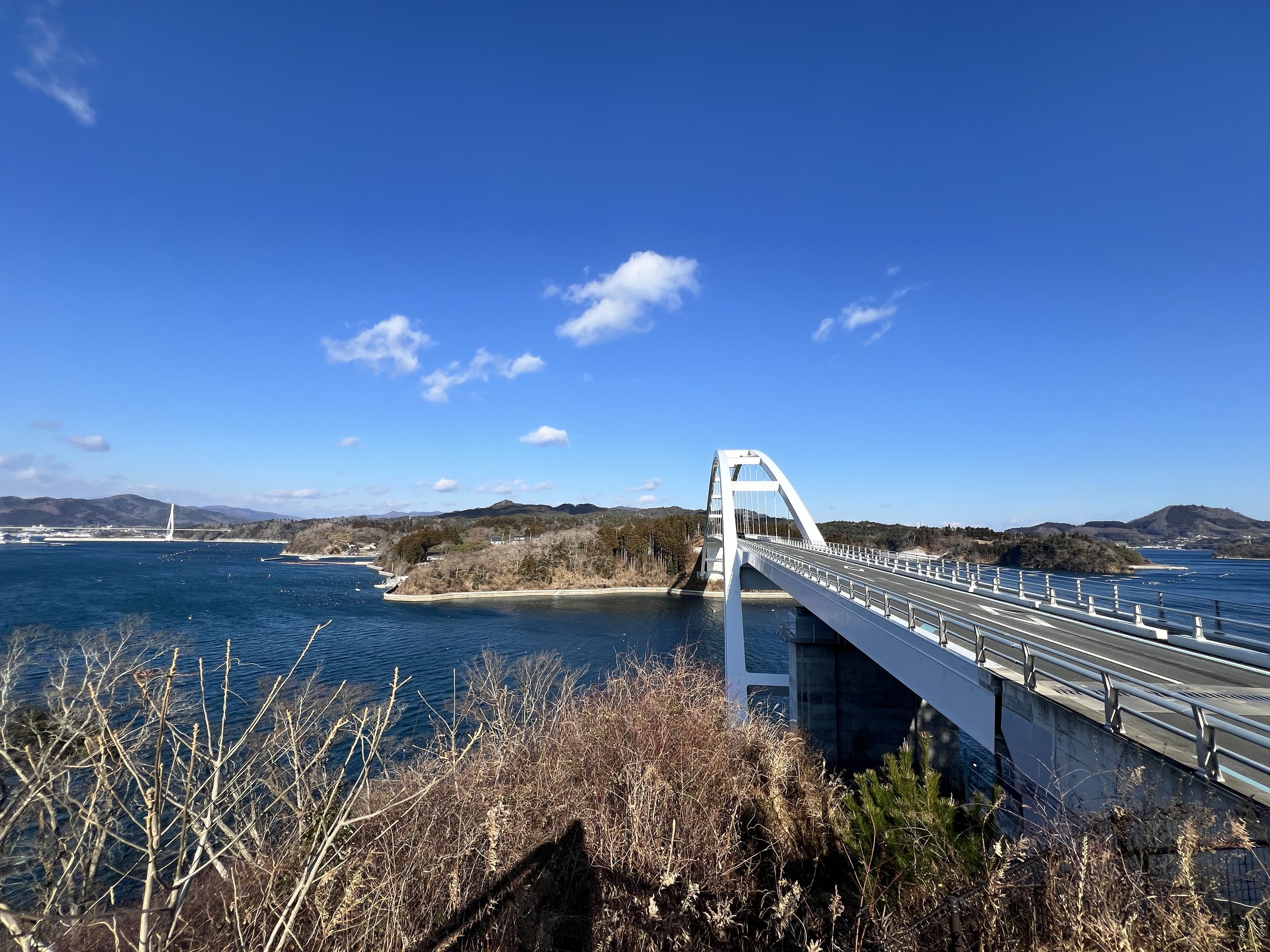
I caught the earliest highway bus from Miyako to Kesennuma and dozed off during the two-hour ride. The bus arrived a little after 10 a.m., and while I considered grabbing breakfast, I wasn’t that hungry. Instead, I opened my trail map and decided to walk toward Oshima Island. One of the reasons I wanted to do this section was the Kesennuma–Oshima Ohashi Bridge—something about it drew me in.
To be honest, I wasn’t feeling my best today, and with a strong wind warning in effect, the walk was mentally tough. The route mostly followed coastal roads. As I passed through Kesennuma’s newly rebuilt streets, I could see the city’s recovery efforts after the 2011 tsunami. While the reinforced seawalls, water gates, and elevated highways make it more resilient, it also felt like some of its old charm had been lost to modern infrastructure.
When I reached the bridge, I was pleasantly surprised to find a public washroom and vending machines—a small but welcome discovery. Crossing the bridge was a challenge; the wind was so strong that I had trouble keeping my balance. From the bridge, I could see oyster farms scattered across the calm waters below.
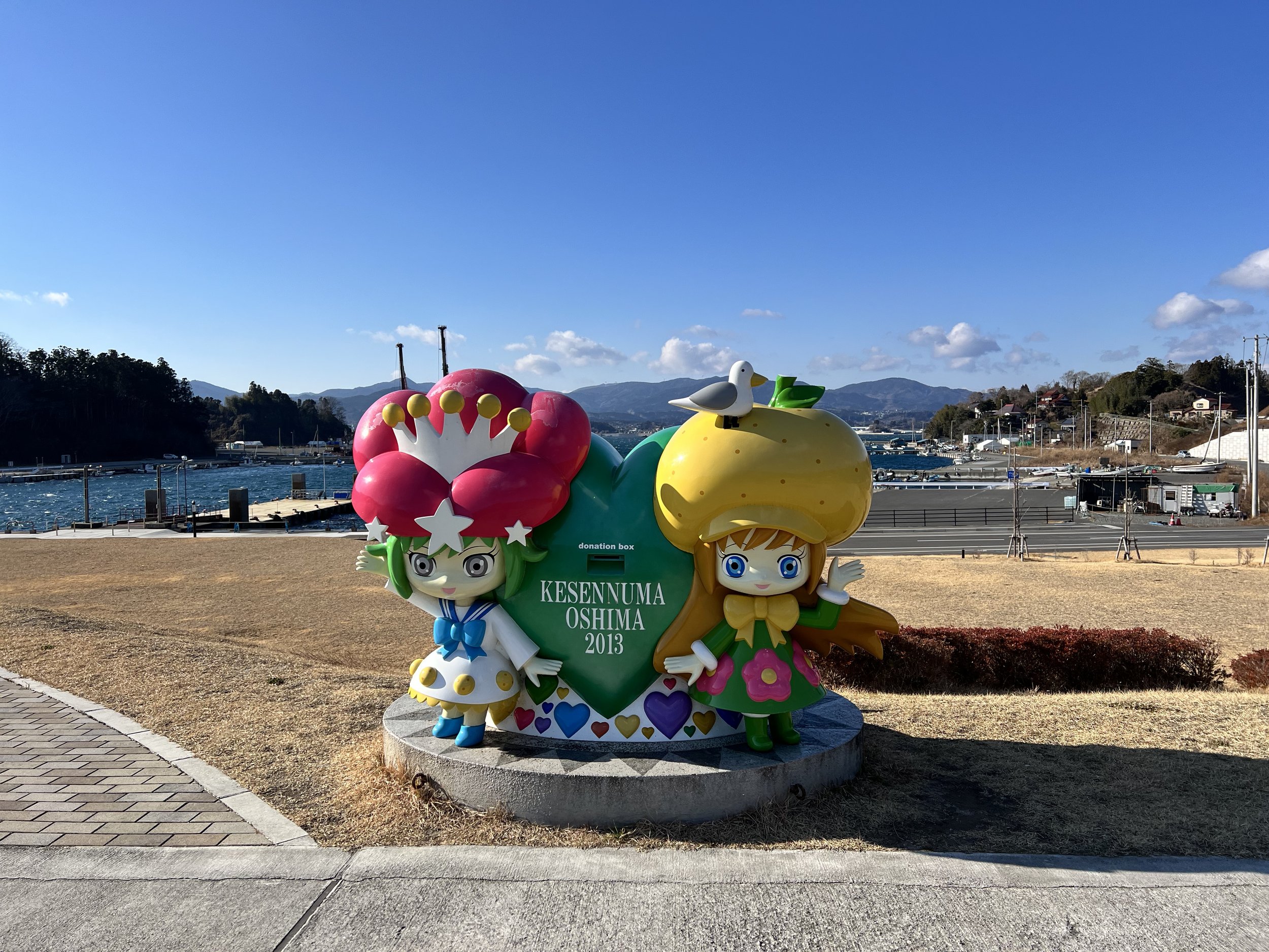
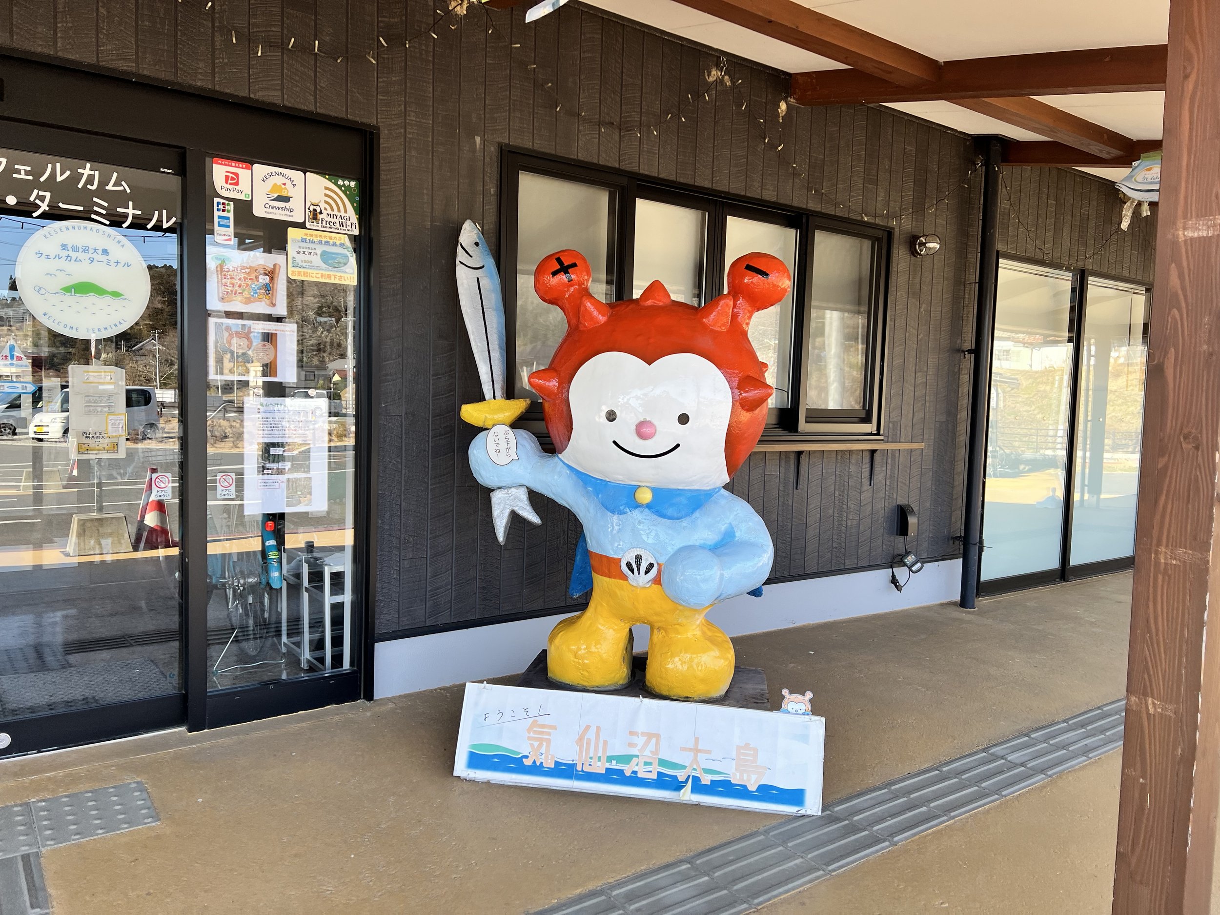
Continuing along the coast, I reached the Kesennuma–Oshima Welcome Terminal around 12:30 p.m. and checked the bus schedule—only to realize there was just one more bus back to Kesennuma Station for the day because of the holiday. Since it was leaving in an hour, I grabbed lunch at a nearby shop and decided to call it a day. I completely forgot about the New Year’s limited schedule; if I hadn’t, I might’ve been stuck walking back—or paying for a pricey taxi ride.
History & Background
The section from Kesennuma to Oshima Island is part of the Michinoku Coastal Trail, which traces Japan’s Pacific coast through landscapes deeply shaped by the 2011 Tohoku earthquake and tsunami. Oshima, often called the “Green Pearl of Kesennuma Bay,” is the largest inhabited island in Miyagi Prefecture and was temporarily cut off after the disaster when its ferry lines were destroyed.
The construction of the Kesennuma–Oshima Ohashi Bridge, completed in 2019, symbolized a major step in the region’s recovery—reconnecting the island to the mainland for the first time by road. Today, this stretch of the trail blends renewal and remembrance, as hikers cross the bridge with views of oyster farms and quiet fishing ports that continue to sustain local life.
Getting There
To get to Kesennuma, you can take a train from Tokyo or Sendai to Ichinoseki Station, then transfer to a local bus or train to reach Kesennuma. Alternatively, you can fly into Sendai Airport and continue by bus or train. I started my journey from Miyako Station and took the Sanriku Highway Bus straight to Kesennuma. You don’t need to reserve in advance—just let the driver know your stop and pay with an IC card or cash. (There’s more info linked here; the site isn’t secure, so visit at your own risk.)
Route Overview
Distance: 14.67 km (Kesennuma Station → Kesennuma-Oshima Welcome Terminal)
Total elevation gain: 231 m
Duration: 2 hr 54 min (with breaks 3 hr 24 min)
Difficulty: Intermediate
Cost Breakdown
Bus: Miyako Station → Kesennuma — ¥3,200
Bus: Kesennuma-Oshima Ohashi Bridge → Kesennuma Station — ¥430
Food: ¥900
Accommodation: Hotel Pearl City Kesennuma (booked via Agoda) — C$50.43