Jeju Olle Trail – Route 8 – Jeju Island, South Korea
Today, I had originally planned to hike Hallasan, the highest peak in South Korea. However, since the trail was only open about two-thirds of the way due to snow, I felt it wouldn’t be the full experience. So, I switched plans and decided to walk Jeju Olle Trail 8 instead.
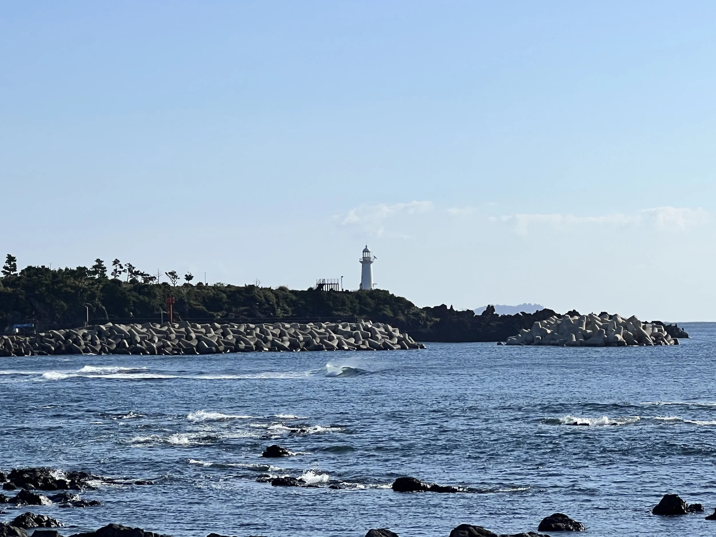
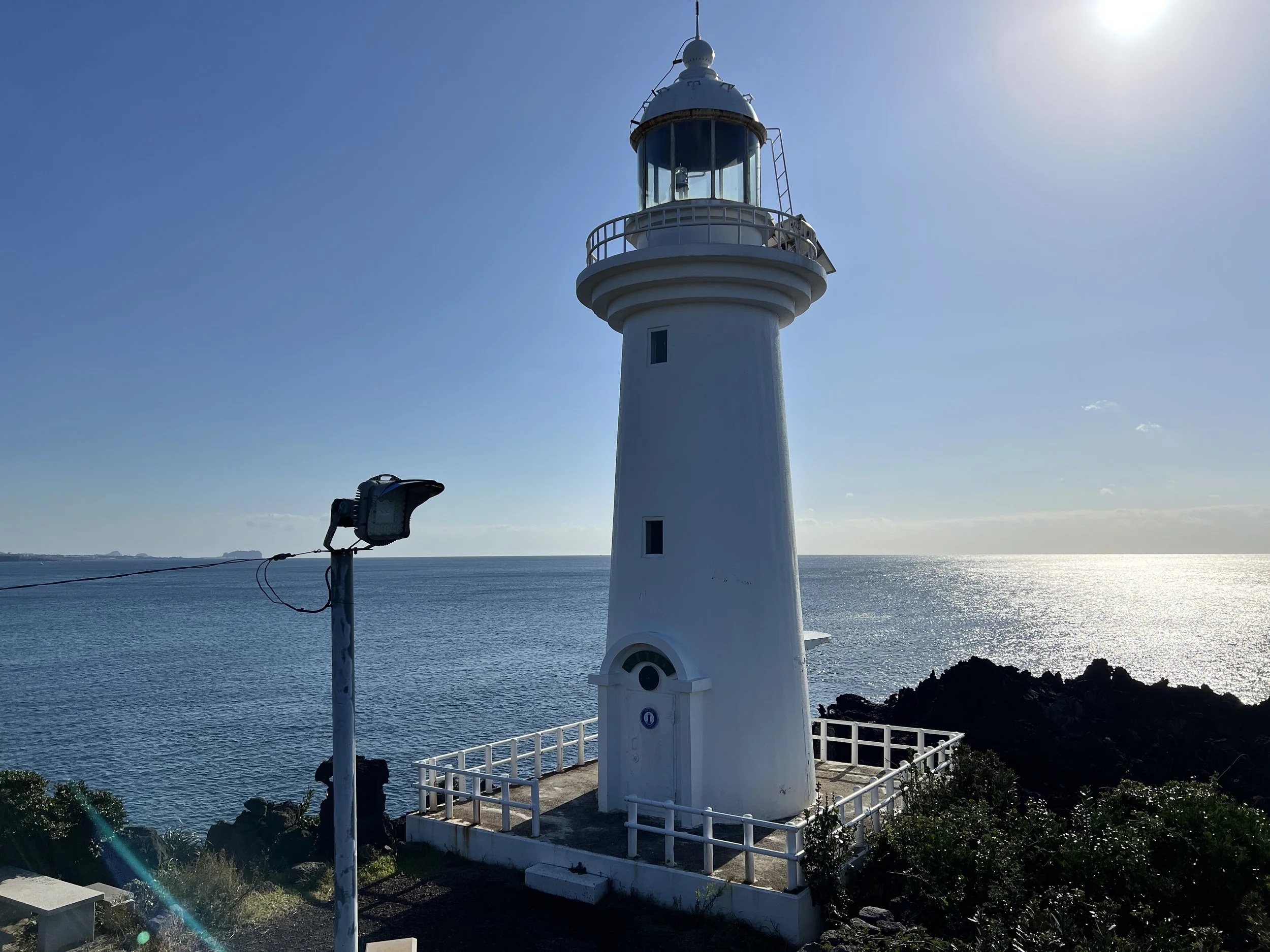
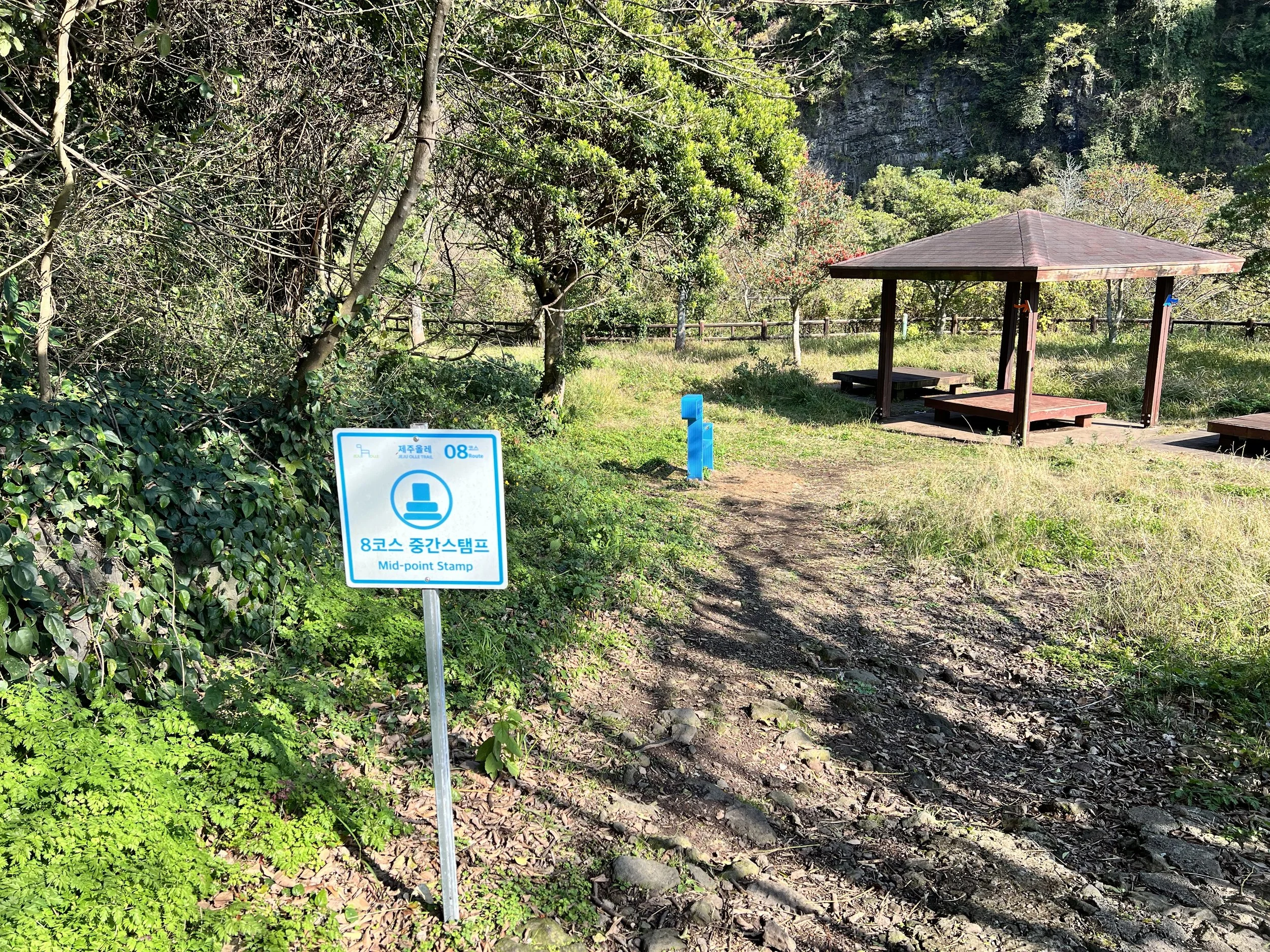
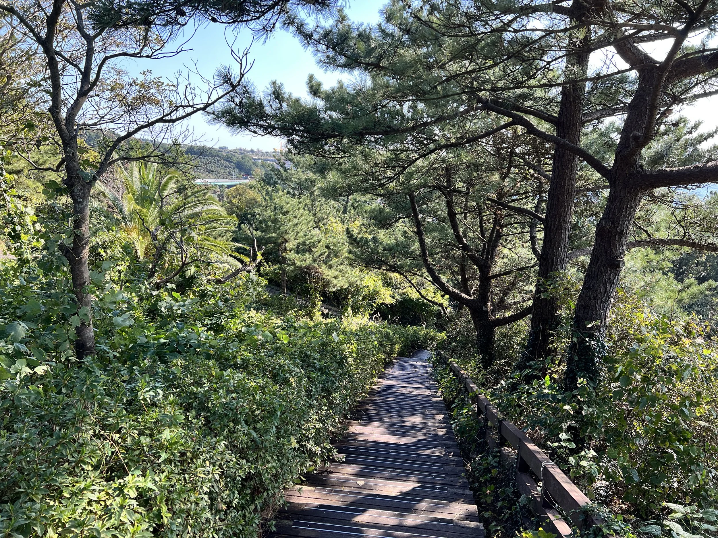
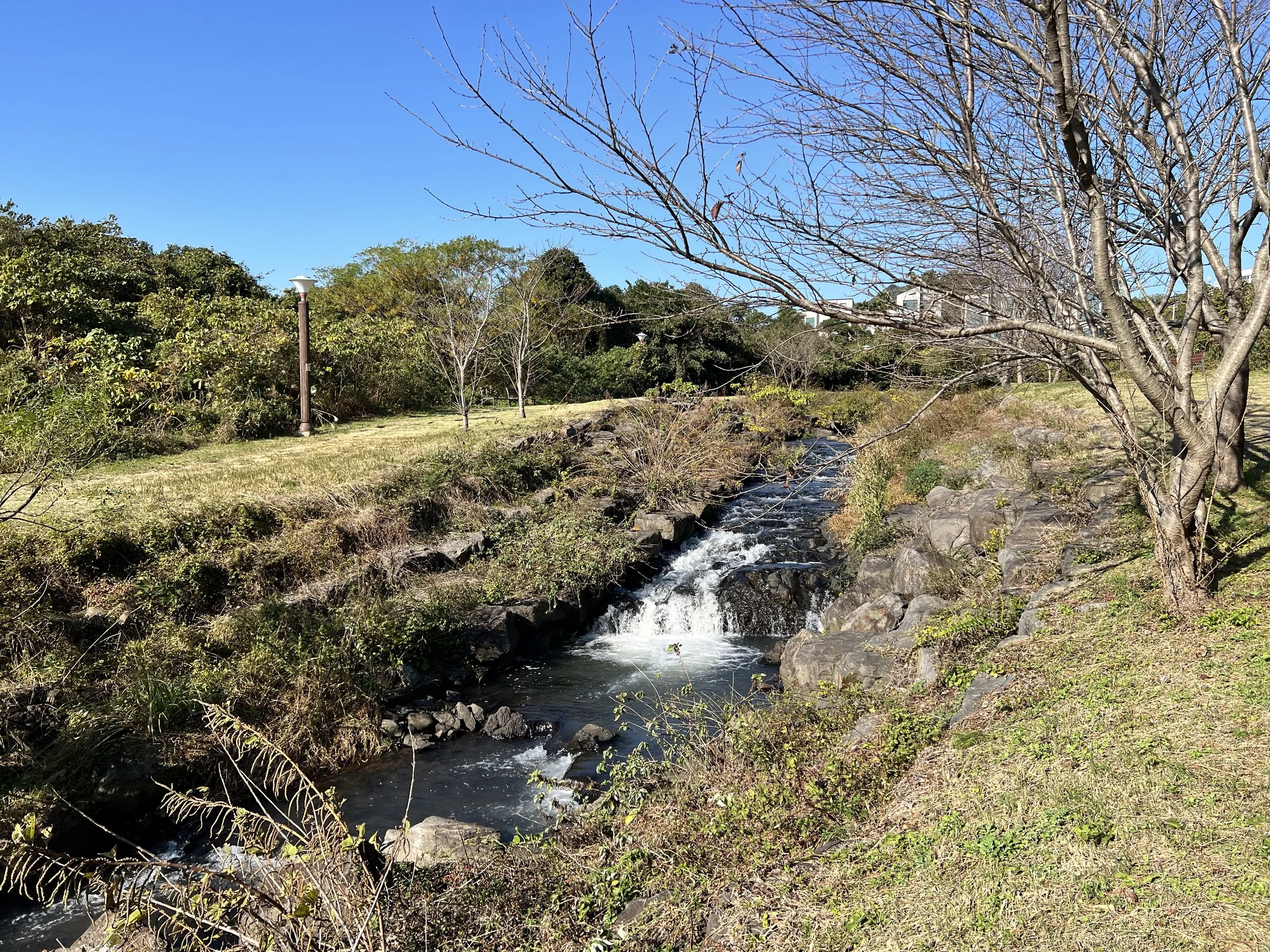
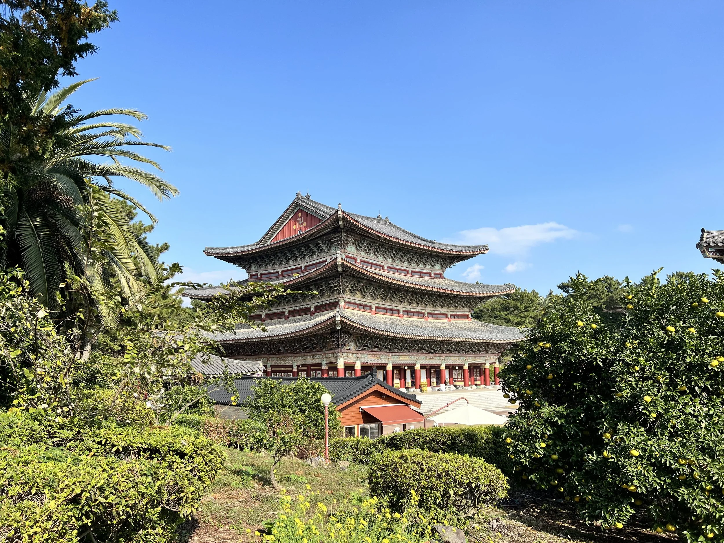
Because transportation options are limited at the end of Trail 8, I chose to hike it in reverse—starting from the Trail 9 starting point and walking backward. Unlike the previous days, this route passed through more urban and resort areas, often running alongside busy roads. While there were still a few natural spots along the way, it wasn’t quite the scenic coastal walk I was hoping for.
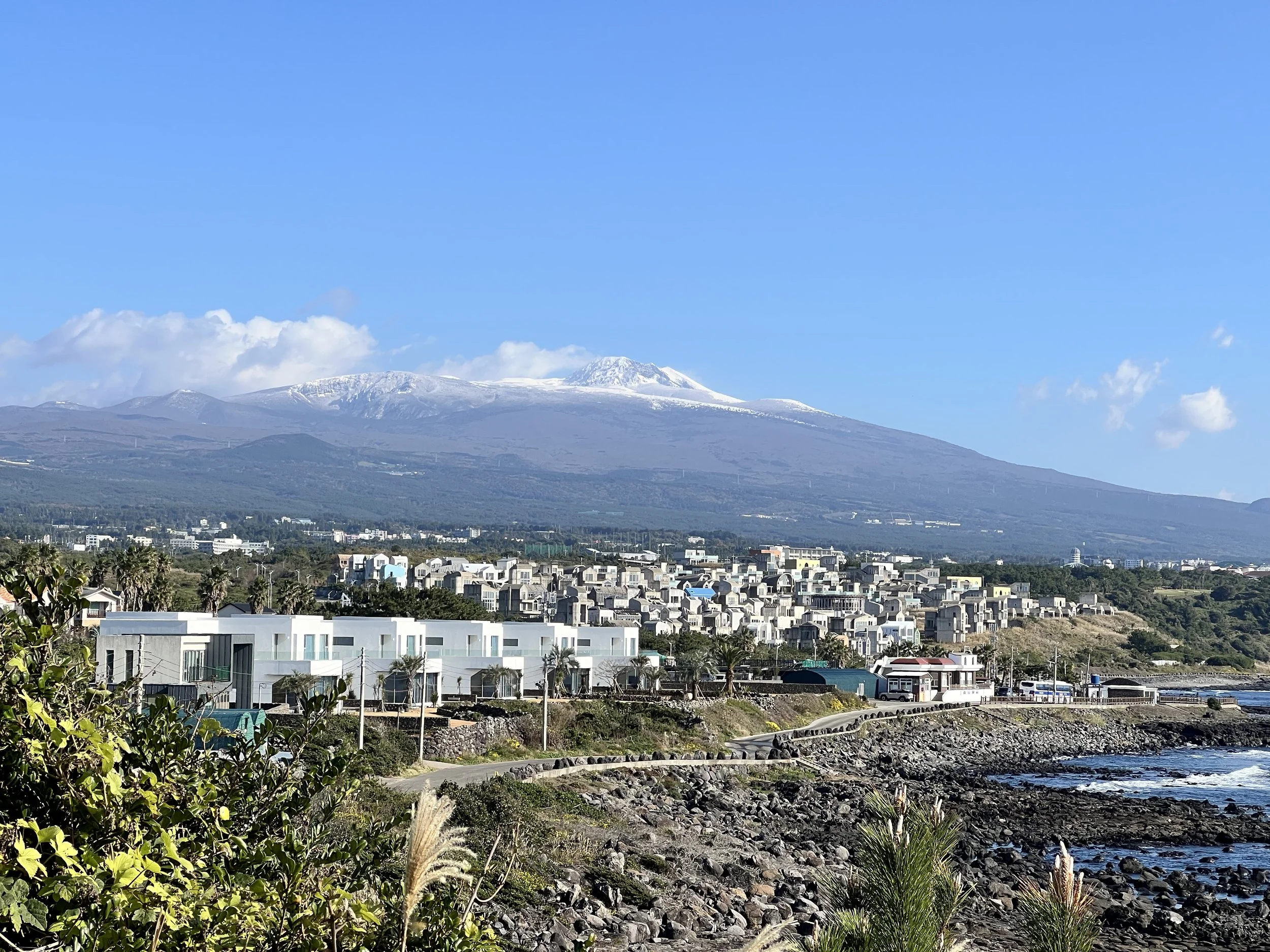
One highlight was catching distant views of Hallasan on the horizon. At times, I wondered if I should have just gone for the partial Hallasan hike, but in the end, I made peace with my choice—it offered a different perspective on Jeju, showing how the island blends nature, daily life, and development.
Background
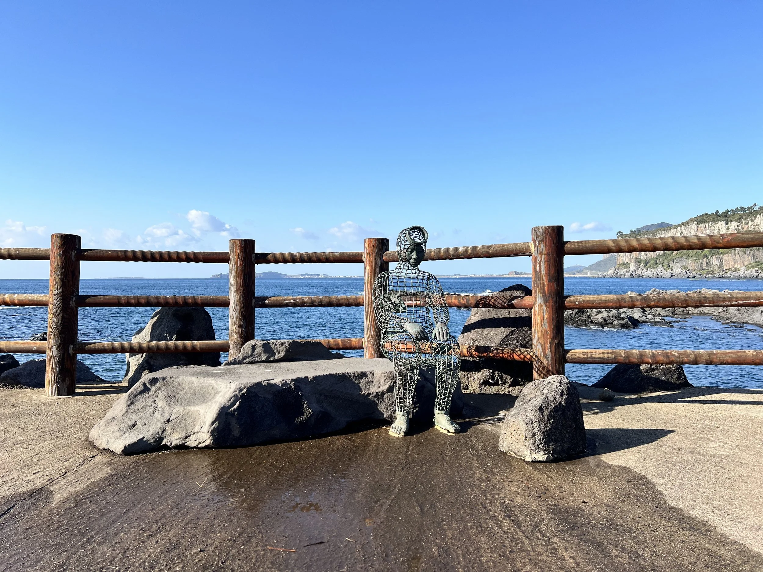
Jeju Olle Trail 8 (제주올레 8코스) runs between Wolpyeong-ri (월평리) and Daepyeong-ri (대평리), covering about 19 km along Jeju’s southern coast. The trail passes through seaside paths, resort areas, and small residential zones, offering a mix of natural scenery and glimpses of daily life on the island. Hikers can enjoy views of Sanbangsan Mountain, Marado Island in the distance, and pockets of forest and coastline. Trail 8 is often combined with Trails 7 and 9 for a multi-day southern coastal hike.
Getting There
Using Seogwipo as my base, I took a bus to the Trail 9 starting point so I could walk Trail 8 in reverse. I found the coordinates on the Jeju Olle website and used KakaoMap or Naver Map to check bus routes by entering the coordinates directly. The English versions of these apps aren’t perfect, but they’re still reliable for navigation. You can also view and follow the full Jeju Olle route on either app.
Jeju Olle Trail 9 Starting Point Coordinates: 33.237063, 126.361432
Note: Google Maps doesn’t work well in South Korea—it lacks updated local data, and public transit directions are unavailable due to national security restrictions.
Route Overview
Distance: 18.75 km point-to-point (Trail 9 → Trail 8)
Total elevation gain: 330 m
Duration: 3 hr 42 min (with breaks 3 hr 59 min)
Difficulty: Intermediate
Cost Breakdown
Bus: Seogwipo → Trail 9 starting point — ₩1,150
Bus: Trail 8 starting point → Accommodation — ₩1,150