Jeju Olle Trail – Route 6 – Jeju Island, South Korea
The weather wasn’t great in the morning, so I delayed heading out. I chose a shorter hike today—Jeju Olle Trail 6. I had planned to take the bus to the starting point and walk back, but I ended up following the orange arrows and doing it in reverse.
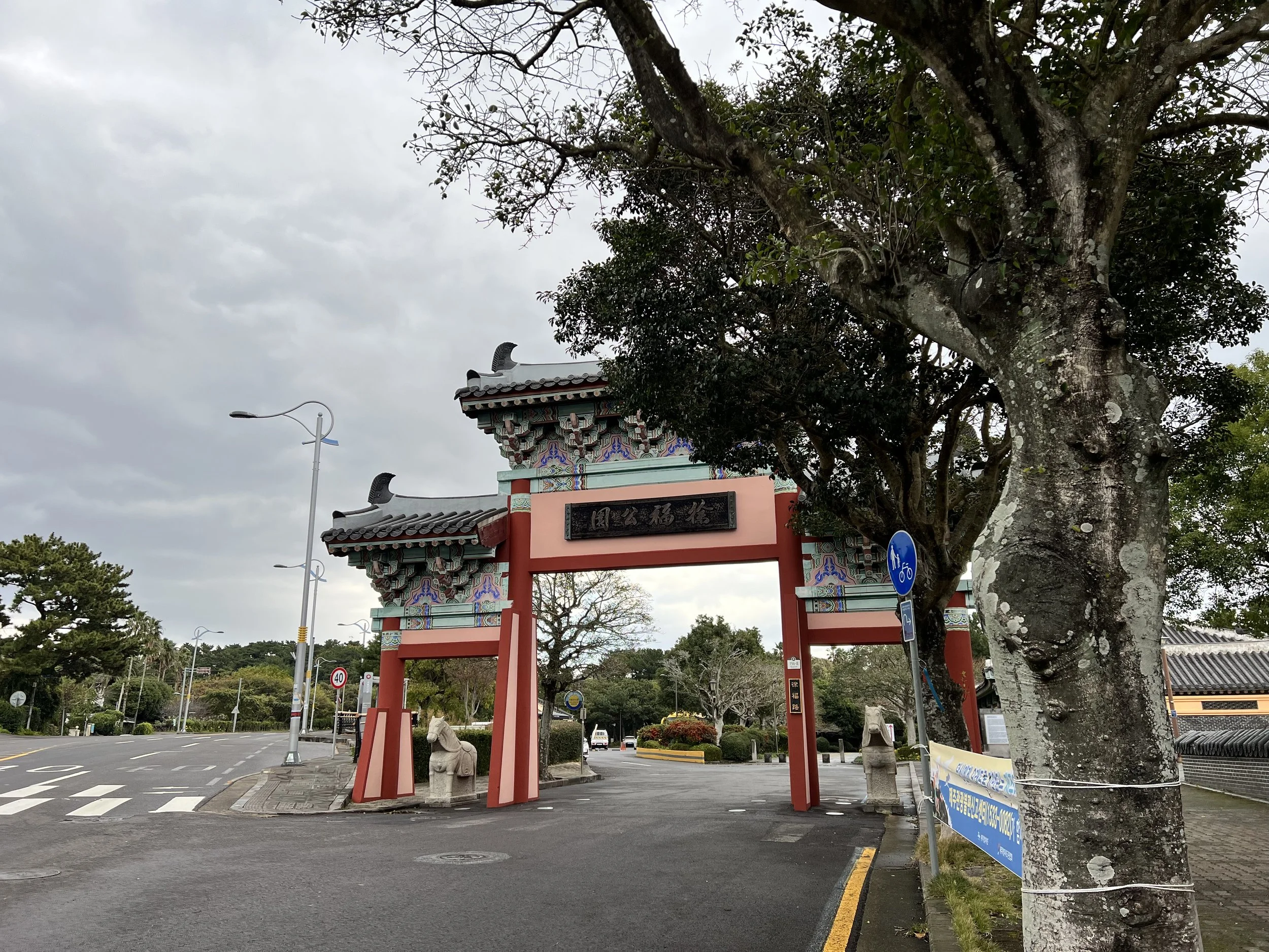
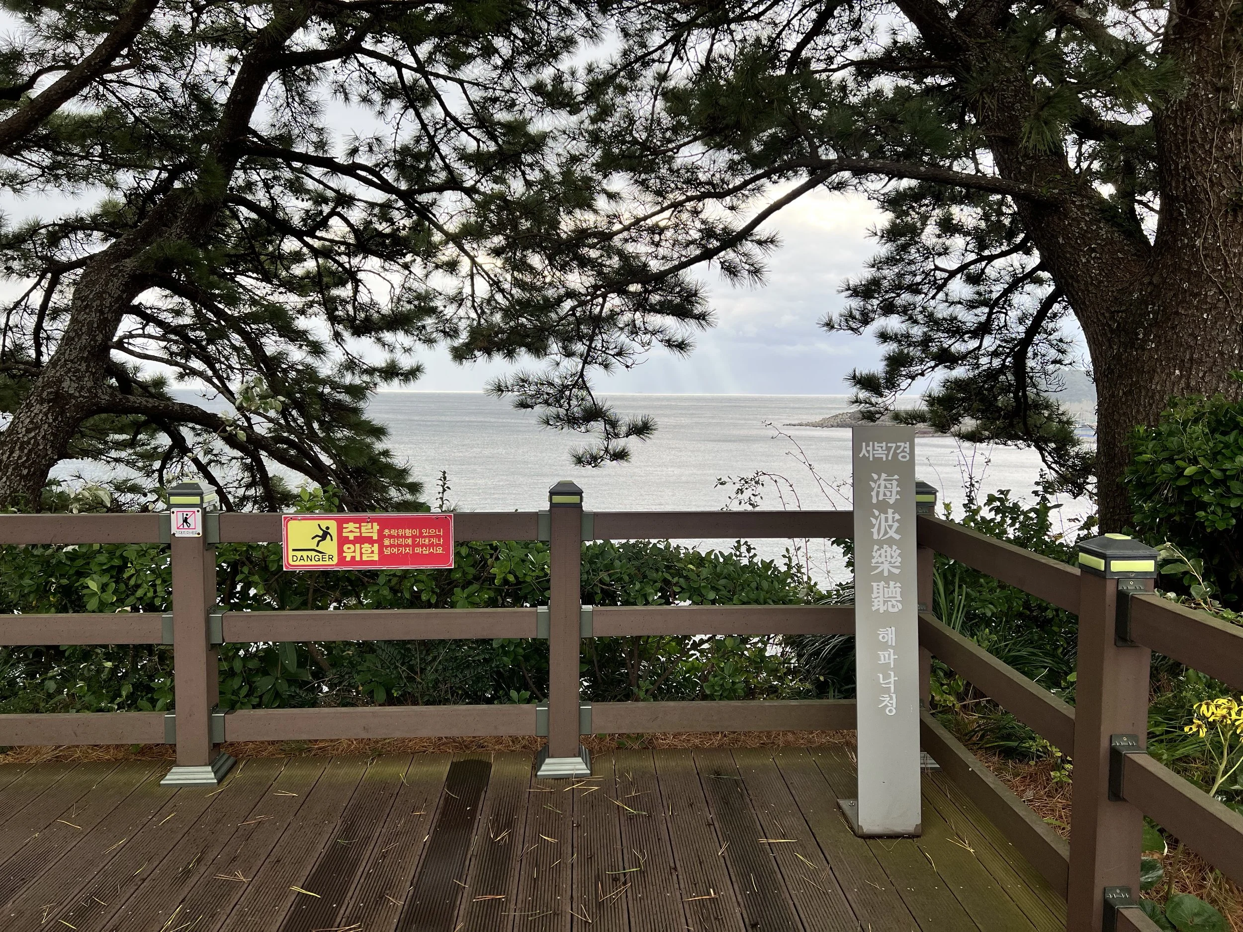
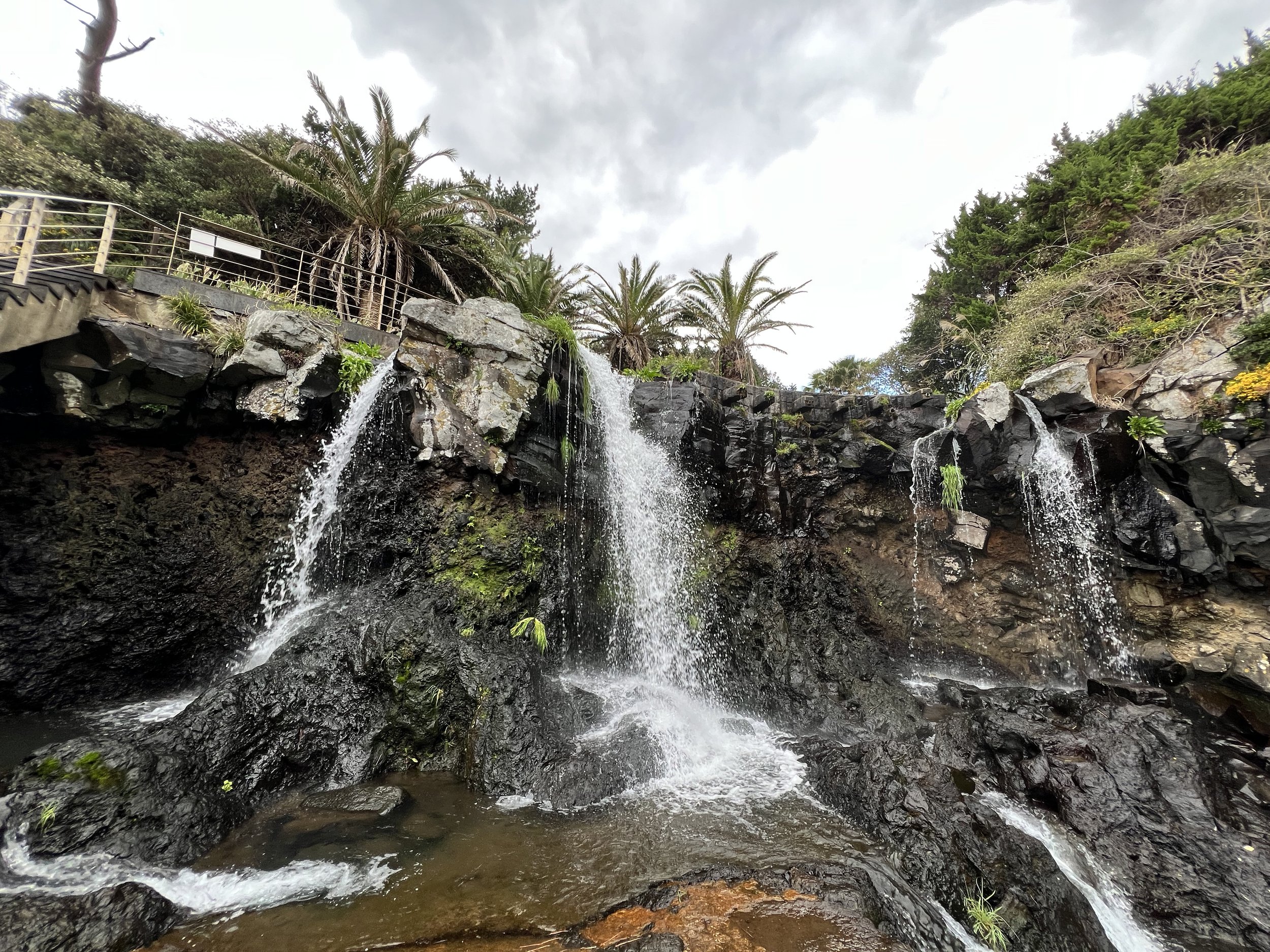
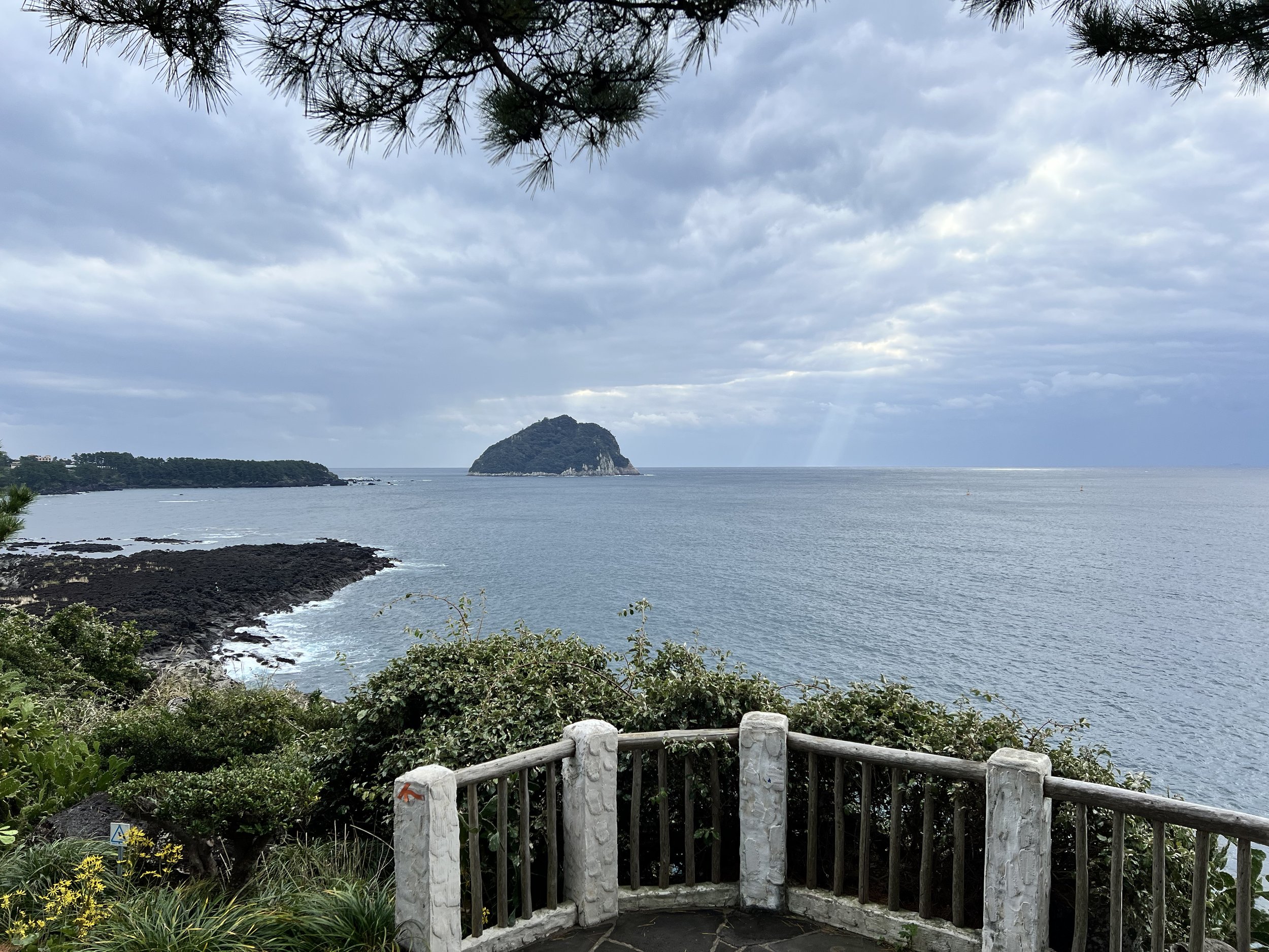
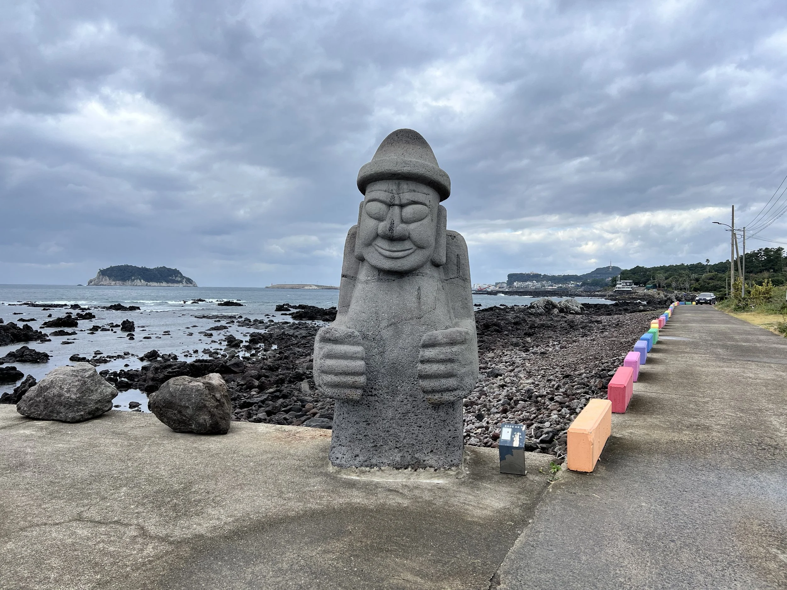
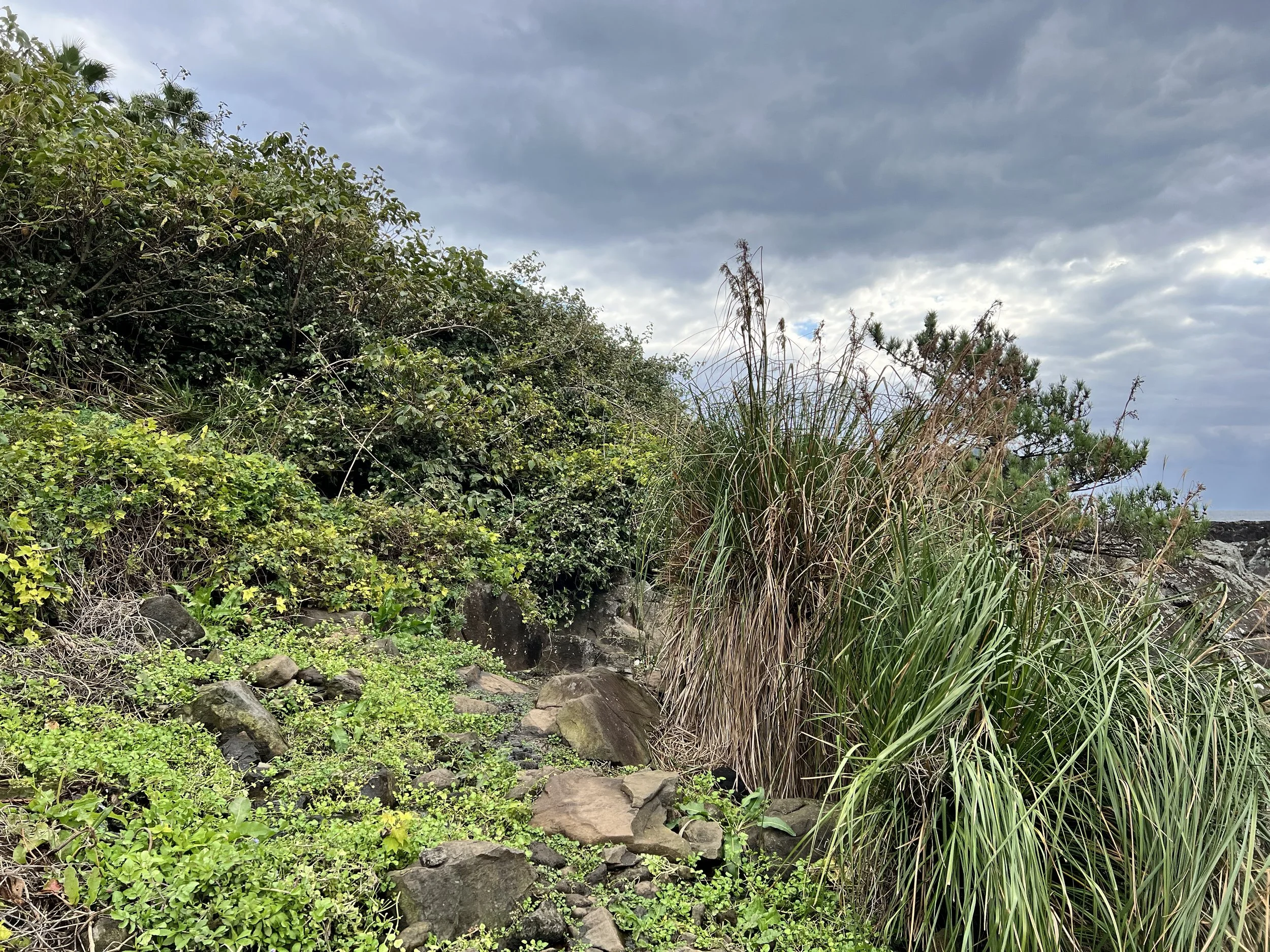
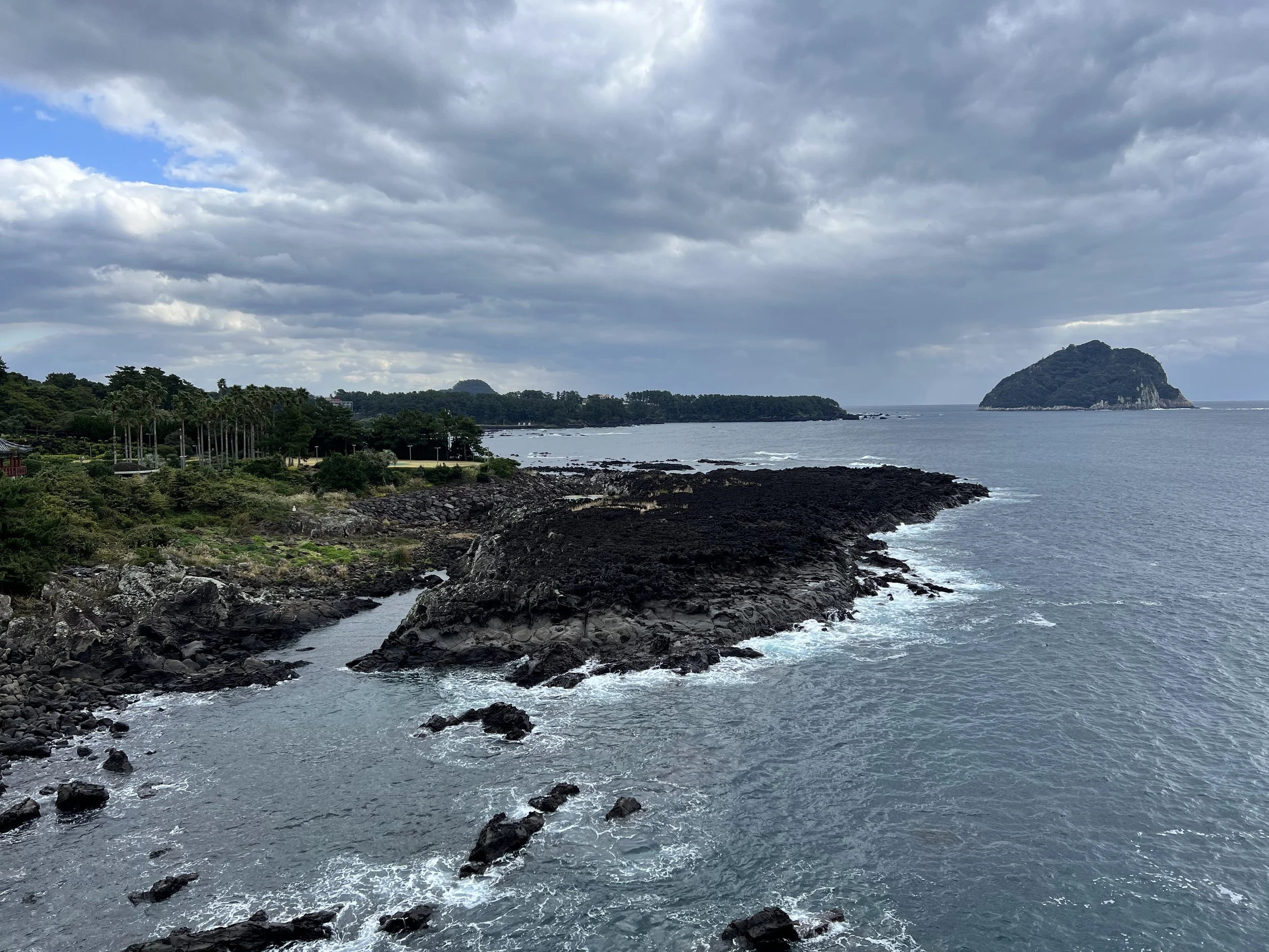
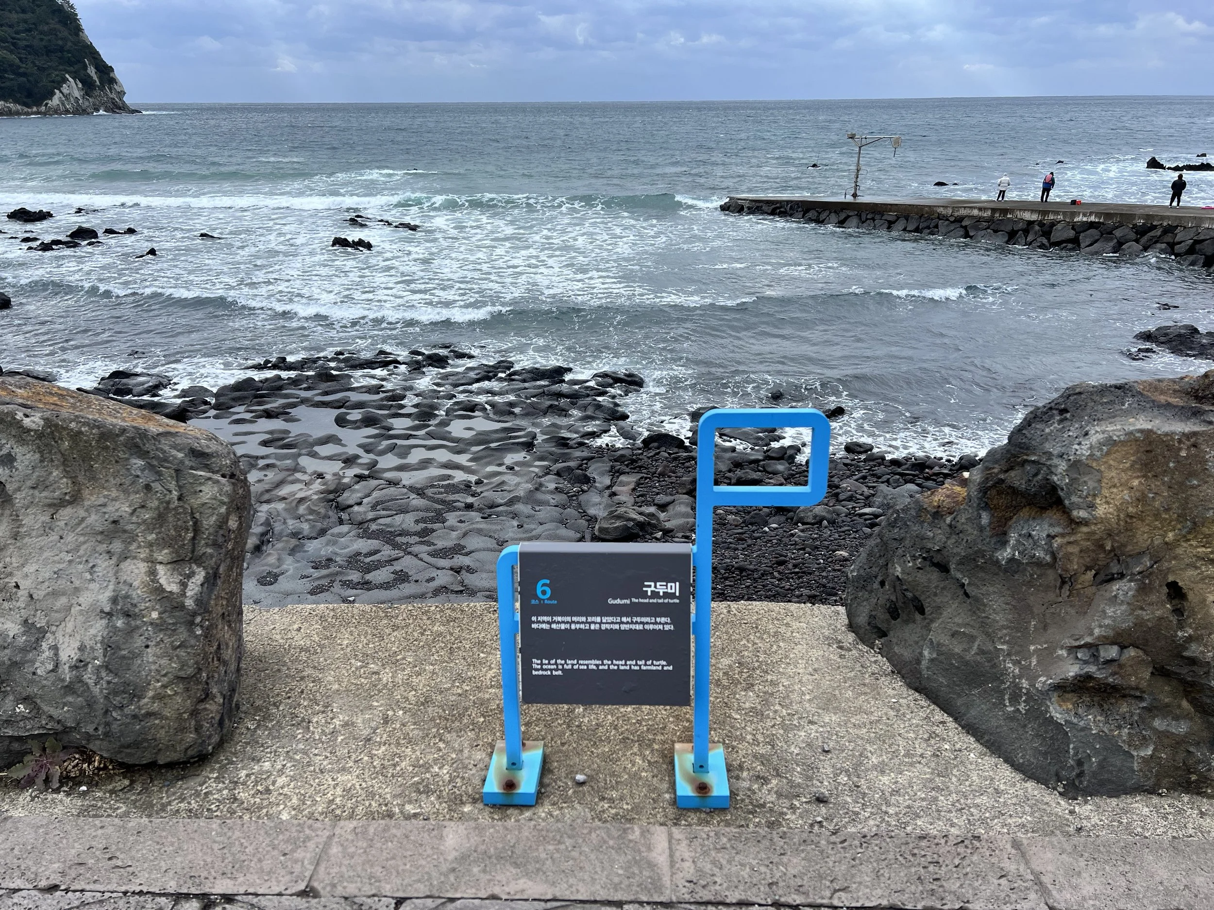
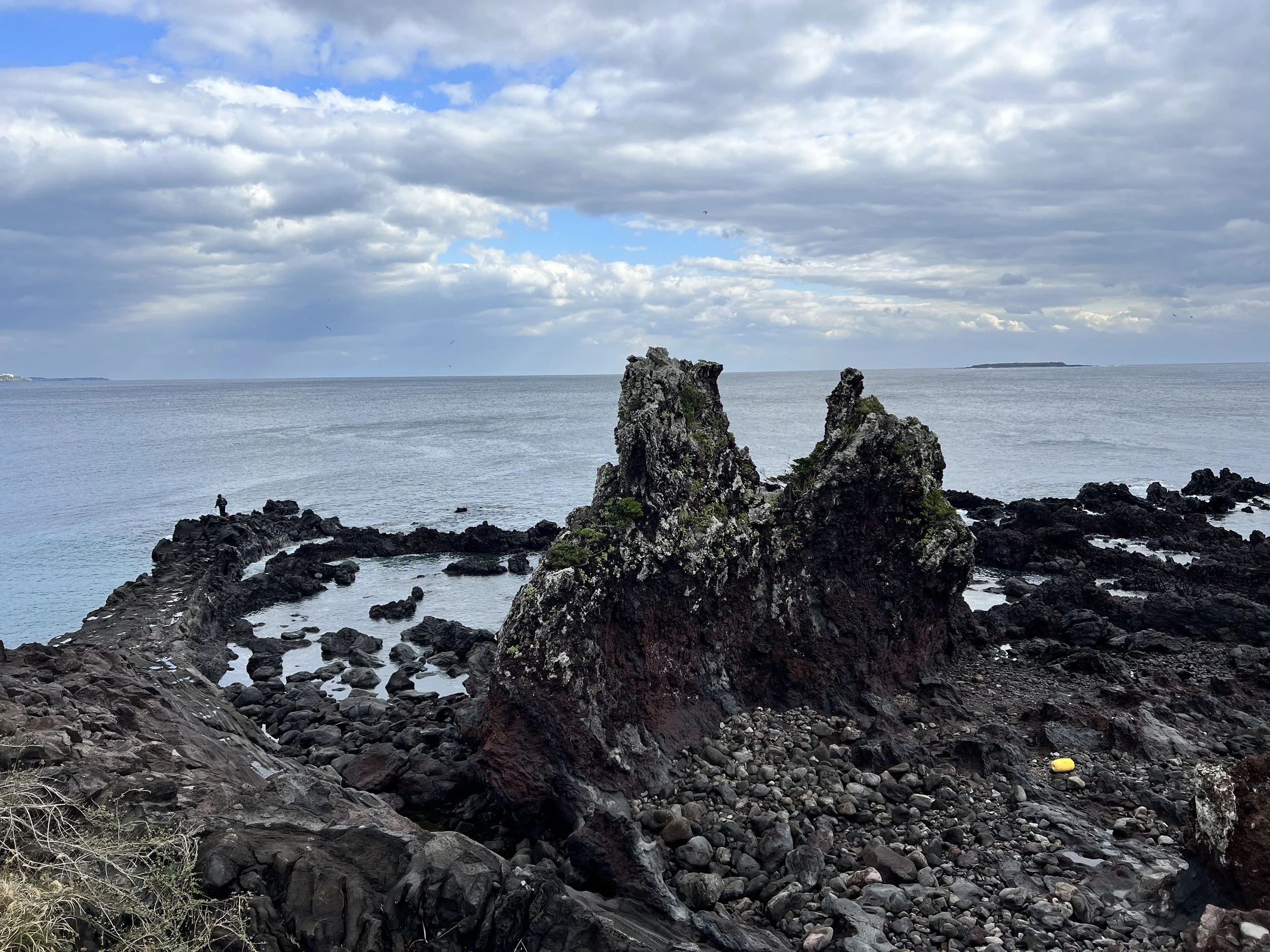
It was still raining when I started. The trail first passed through a historical site and a waterfall before leading me down a rocky cliffside near the water. The wet rocks made this section tricky, and I had to cross a stream, but the views were absolutely worth it. I saw some hikers, though fewer than yesterday, and walked past a few villages along the way.
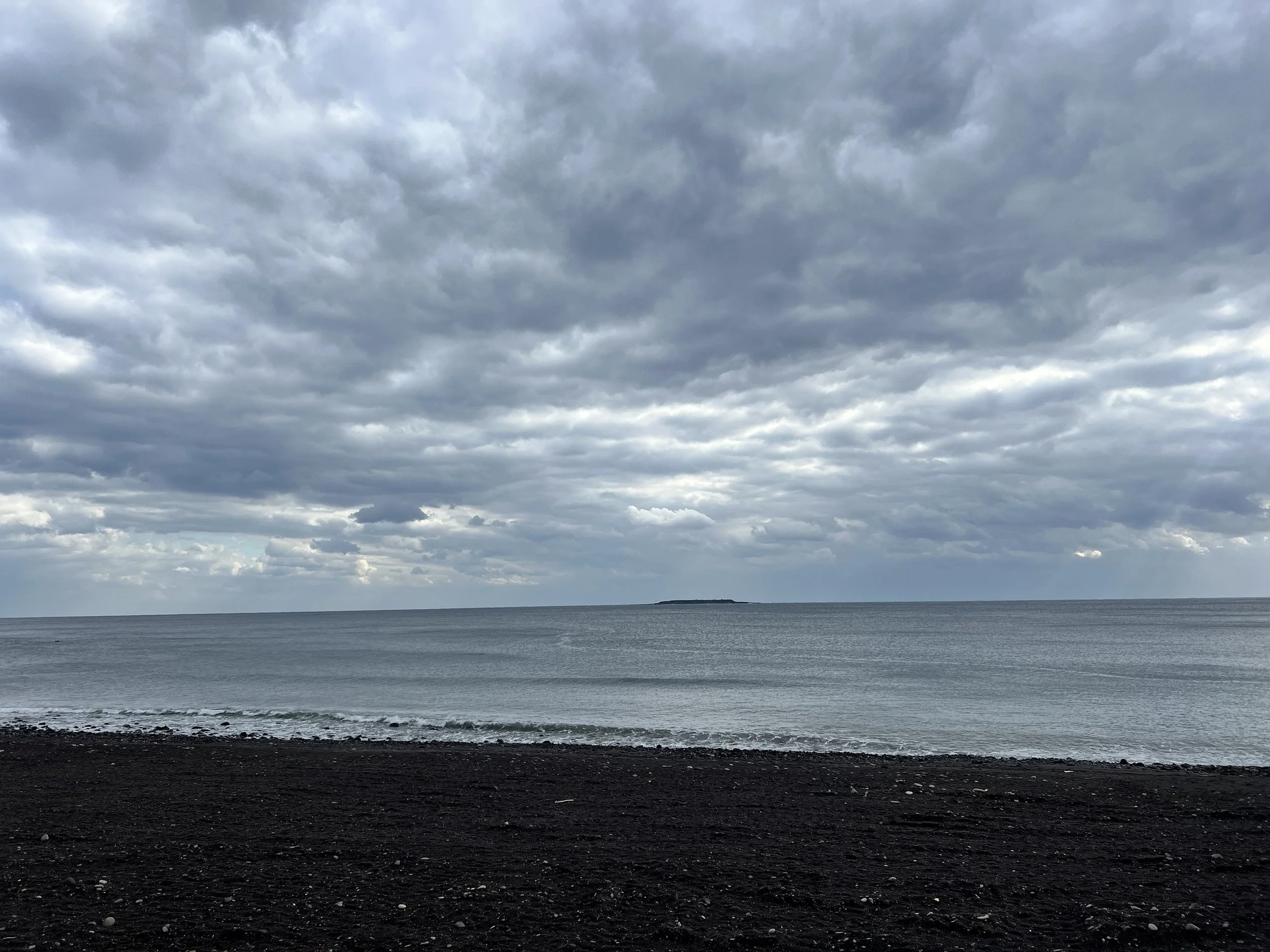
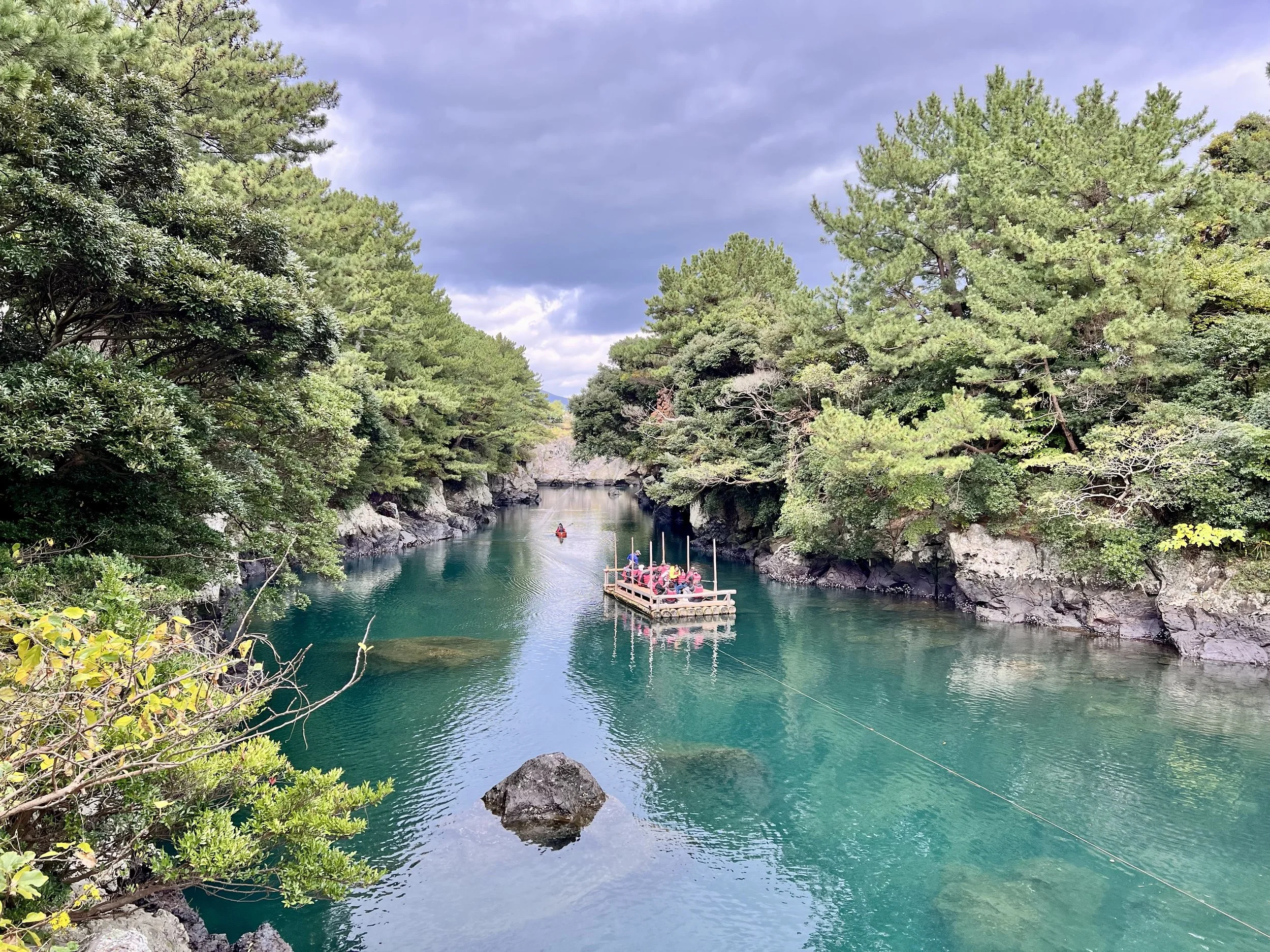
Near the end, I reached a black sand beach—similar to Reynisfjara in Iceland—followed by an emerald-coloured river that took my breath away. I spent way too much time admiring and photographing it!
Finally, I arrived at the official starting point of Trail 6, stamped my Jeju Olle Passport, explored a nearby village, and caught the bus back to Seogwipo.
Background
Jeju Olle Trail 6 (제주올레 6코스) runs between Oedolgae Rock (외돌개) and Seogwipo Port (서귀포항), covering approximately 15.4 km. This scenic route passes waterfalls, black sand beaches, rocky coastal cliffs, and small villages, offering a mix of dramatic natural beauty and glimpses of local life. It’s a favourite section for hikers seeking tranquil walks along the southern coast of Jeju Island, with opportunities to enjoy coastal vistas, emerald rivers, and volcanic formations.
Getting There
Using Seogwipo as my base, I walked to the starting point for Jeju Olle Trail 7 and walked in reverse to Trail 6’s starting point. I found the coordinates on the Jeju Olle website and used KakaoMap or Naver Map to check bus routes by entering the coordinates directly. The English versions of these apps aren’t perfect, but they’re still reliable for navigation. You can also view and follow the full Jeju Olle route on either app.
Jeju Olle Trail 7 Starting Point Coordinates: 33.247461, 126.558717
Note: Google Maps doesn’t work well in South Korea—it lacks updated local data, and public transit directions are unavailable due to national security restrictions.
Route Overview
Distance: 11.38 km point-to-point (Trail 7 → Trail 6)
Total elevation gain: 190 m
Duration: 2 hr 32 min (with breaks 2 hr 41 min)
Difficulty: Intermediate
Cost Breakdown
Bus: Trail 6 starting point → Accommodation — ₩1,150