Jeju Olle Trail – Route 7 – Jeju Island, South Korea
I first learned about the Jeju Olle Trail while exploring Japan. In Kyushu, I came across its sister trail and really enjoyed it. I knew I wanted to hike it when I visited Korea.
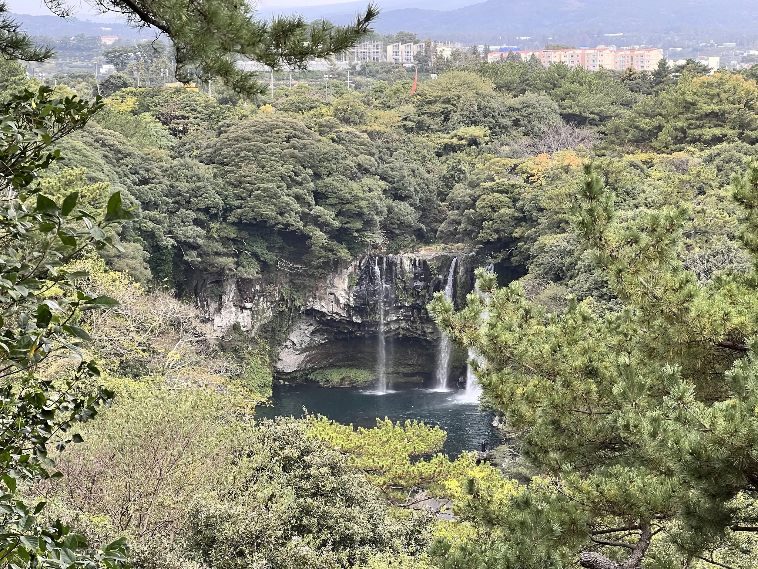
Jeju, an island about 100 km southwest of Korea, is famous for its natural beauty, volcanic landscapes, beaches, and waterfalls. What better way to explore it than by hiking the Olle Trail, which loops around the island?
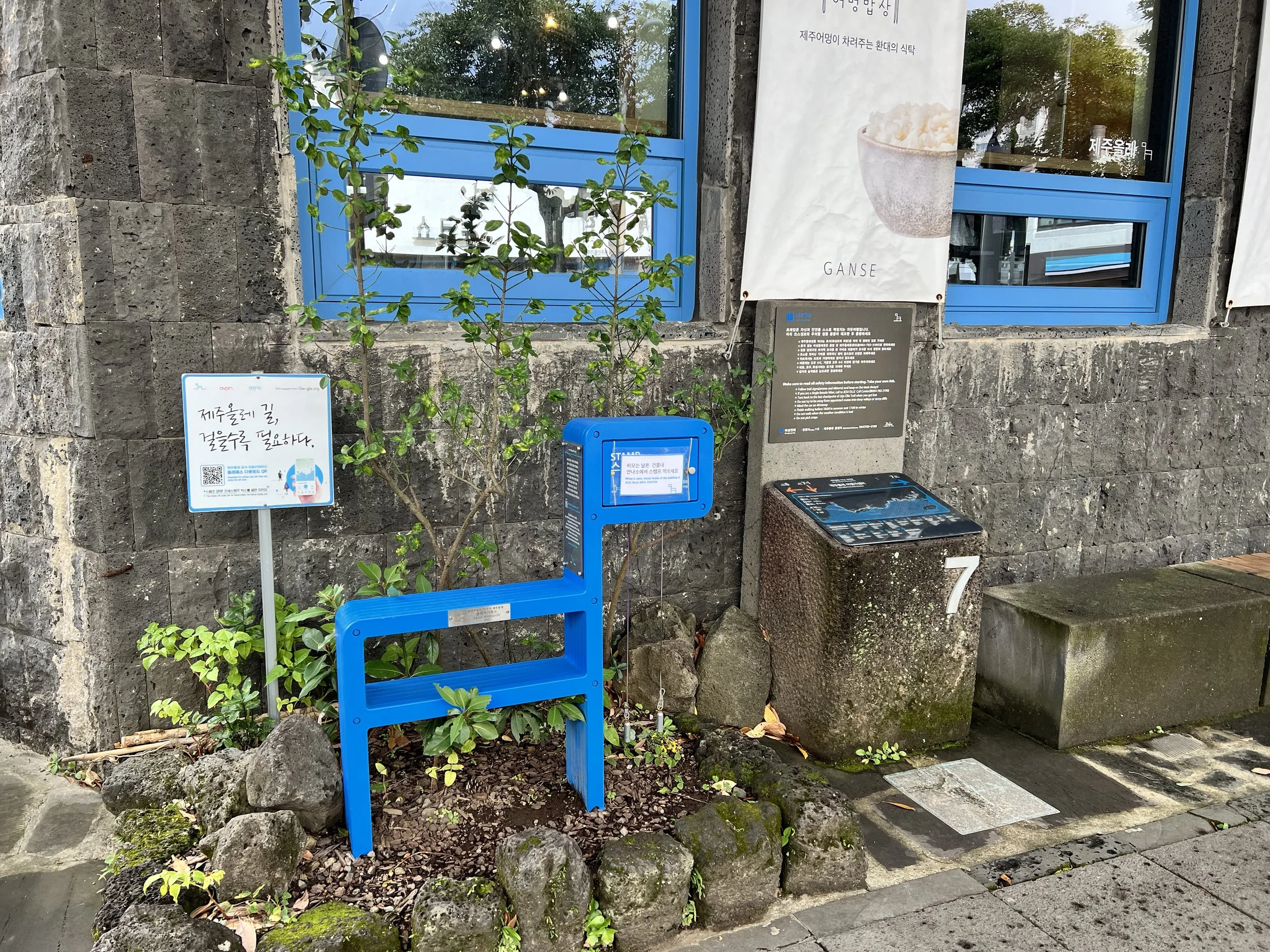
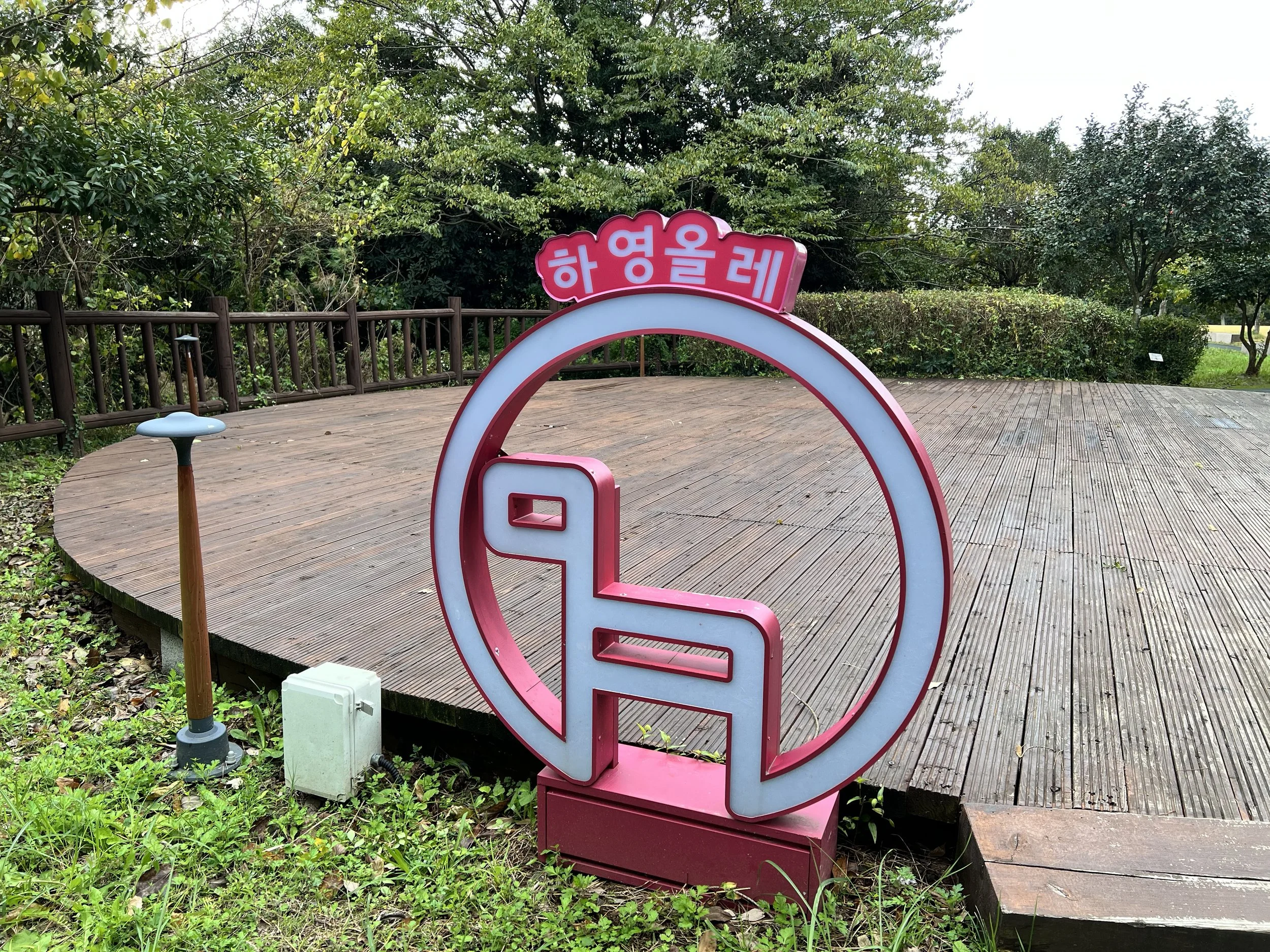
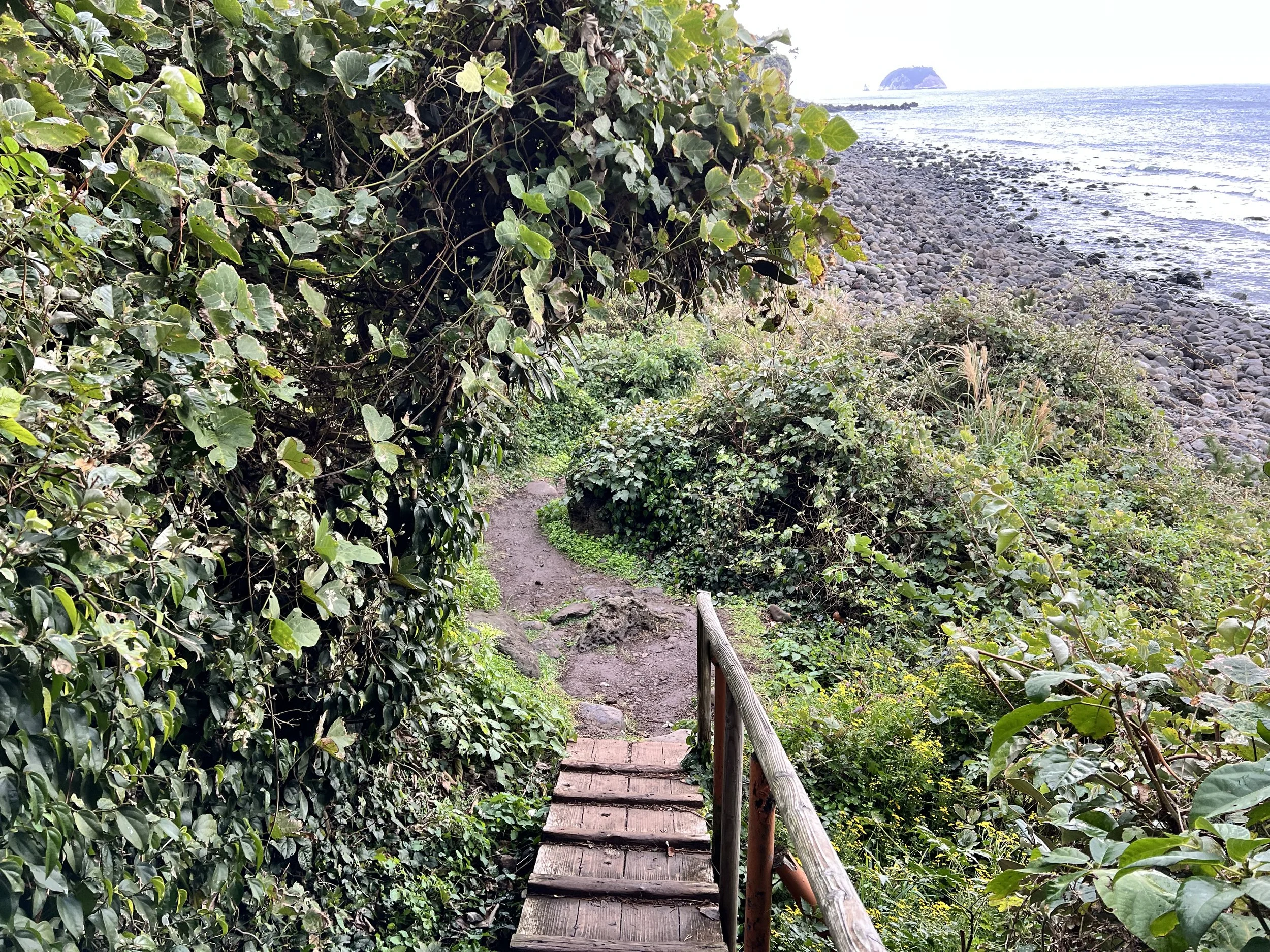
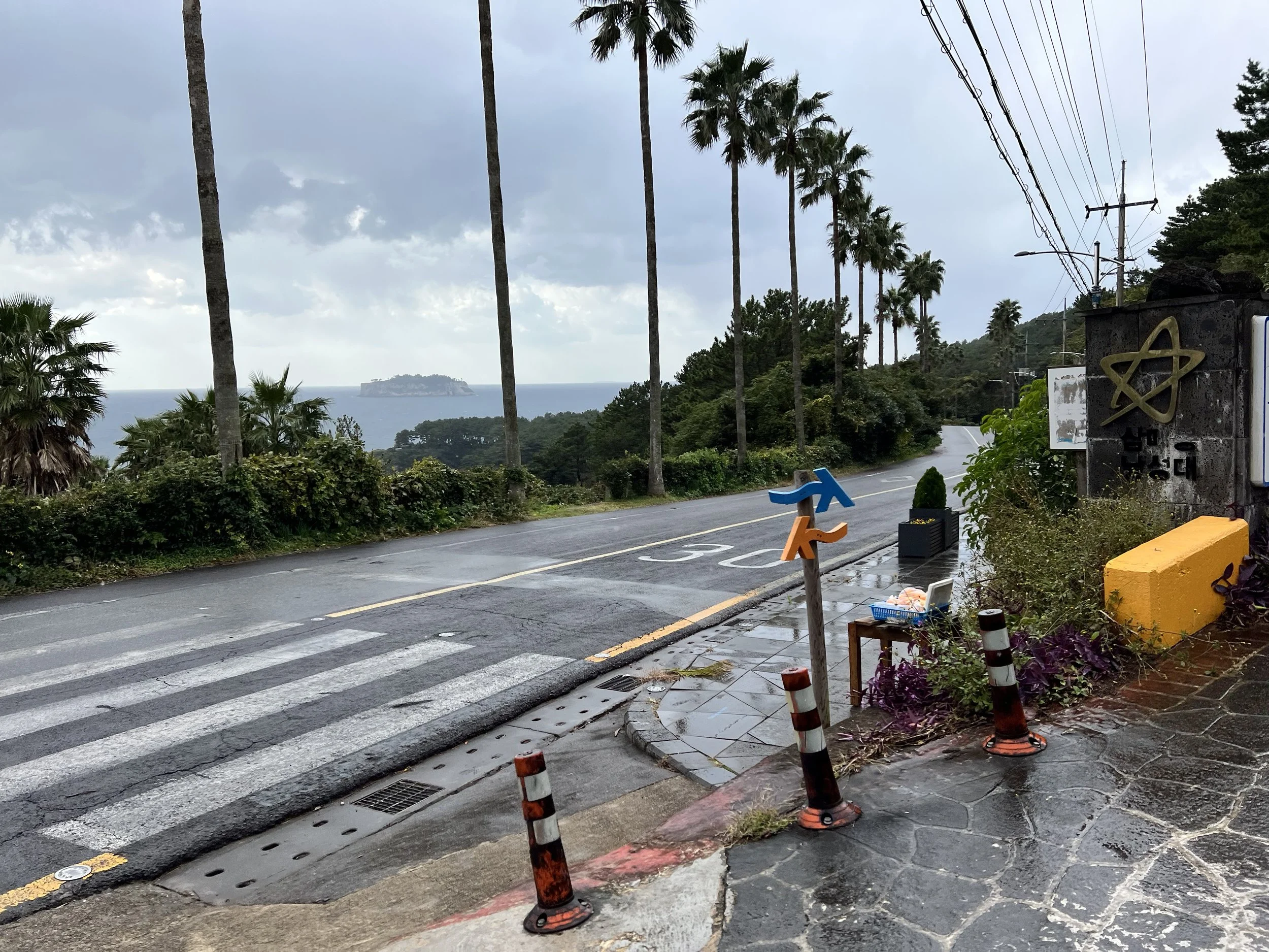
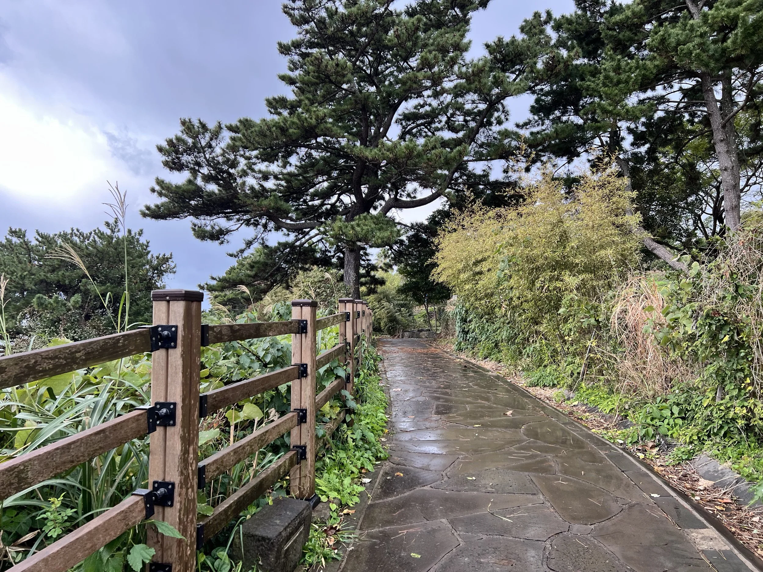
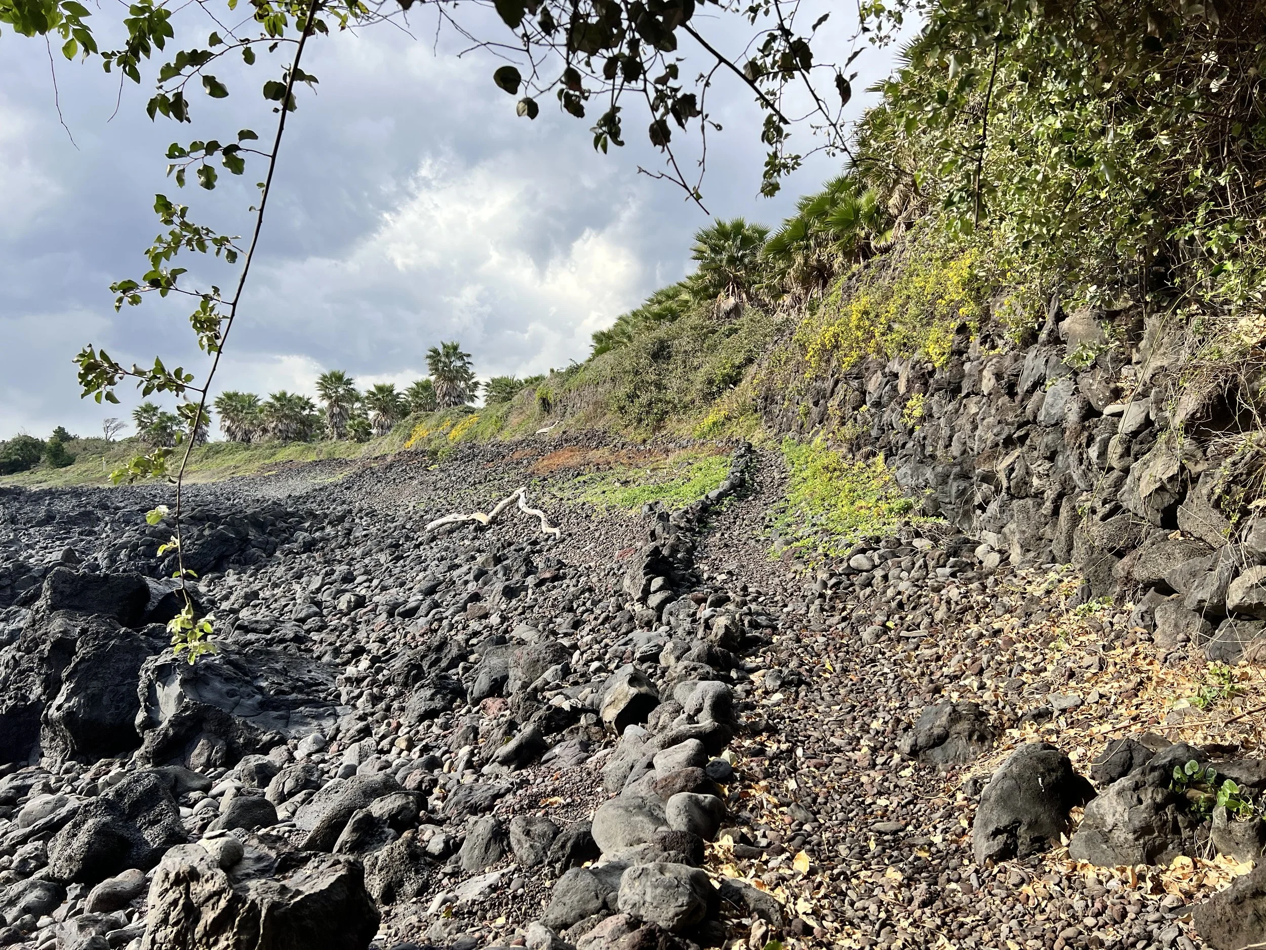
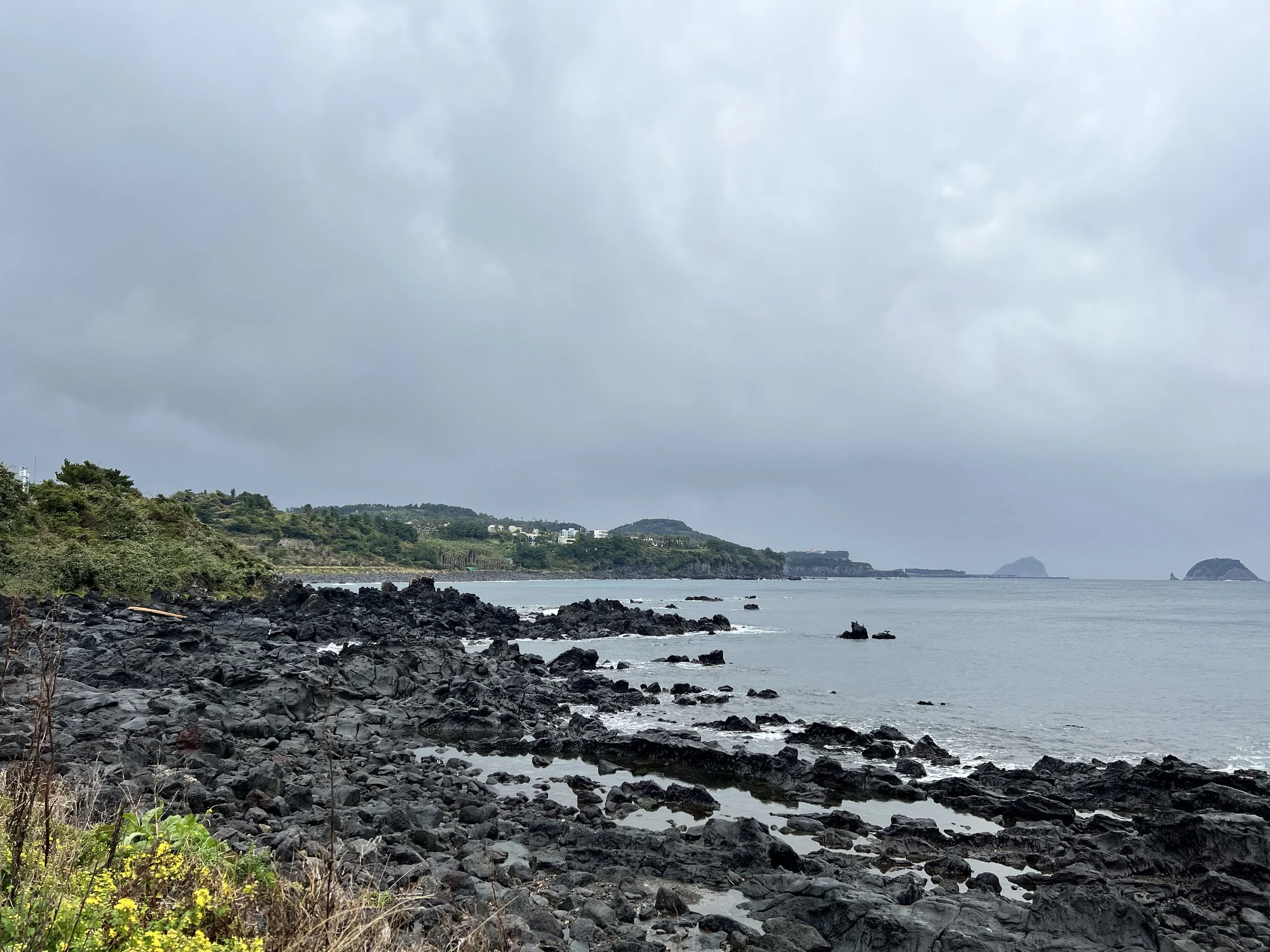
With four days in Jeju, I planned to hike four sections, all on the southern side since I was staying there. Today, I hiked Trail 7, starting in Seogwipo. I picked up a Jeju Olle Passport from the visitor centre before heading out. The trail passed through city parks, beaches, and fishing towns. Like the Camino’s yellow arrows, the Jeju Olle Trail is marked with blue (clockwise) and orange (counterclockwise) arrows and ribbons.
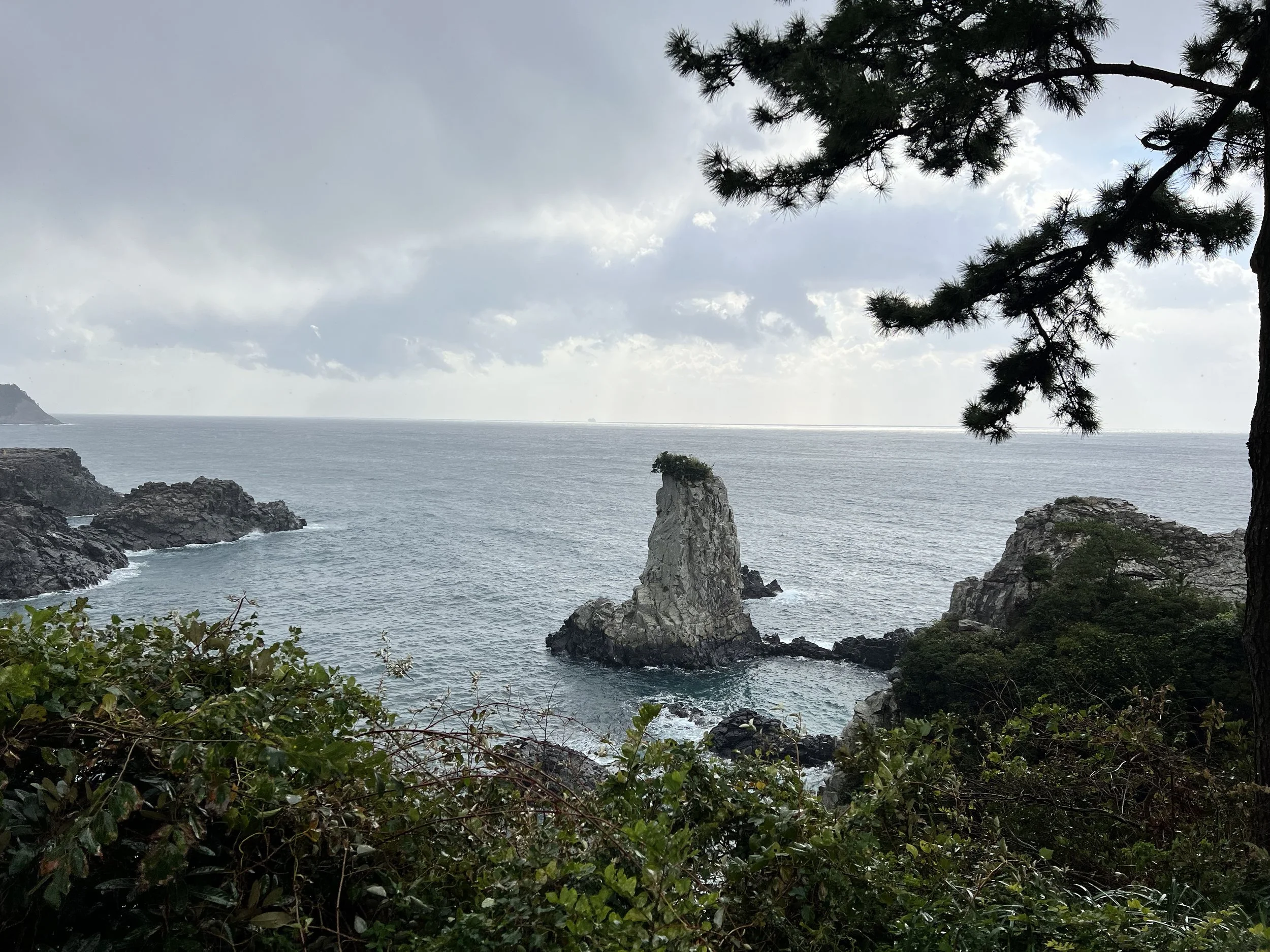
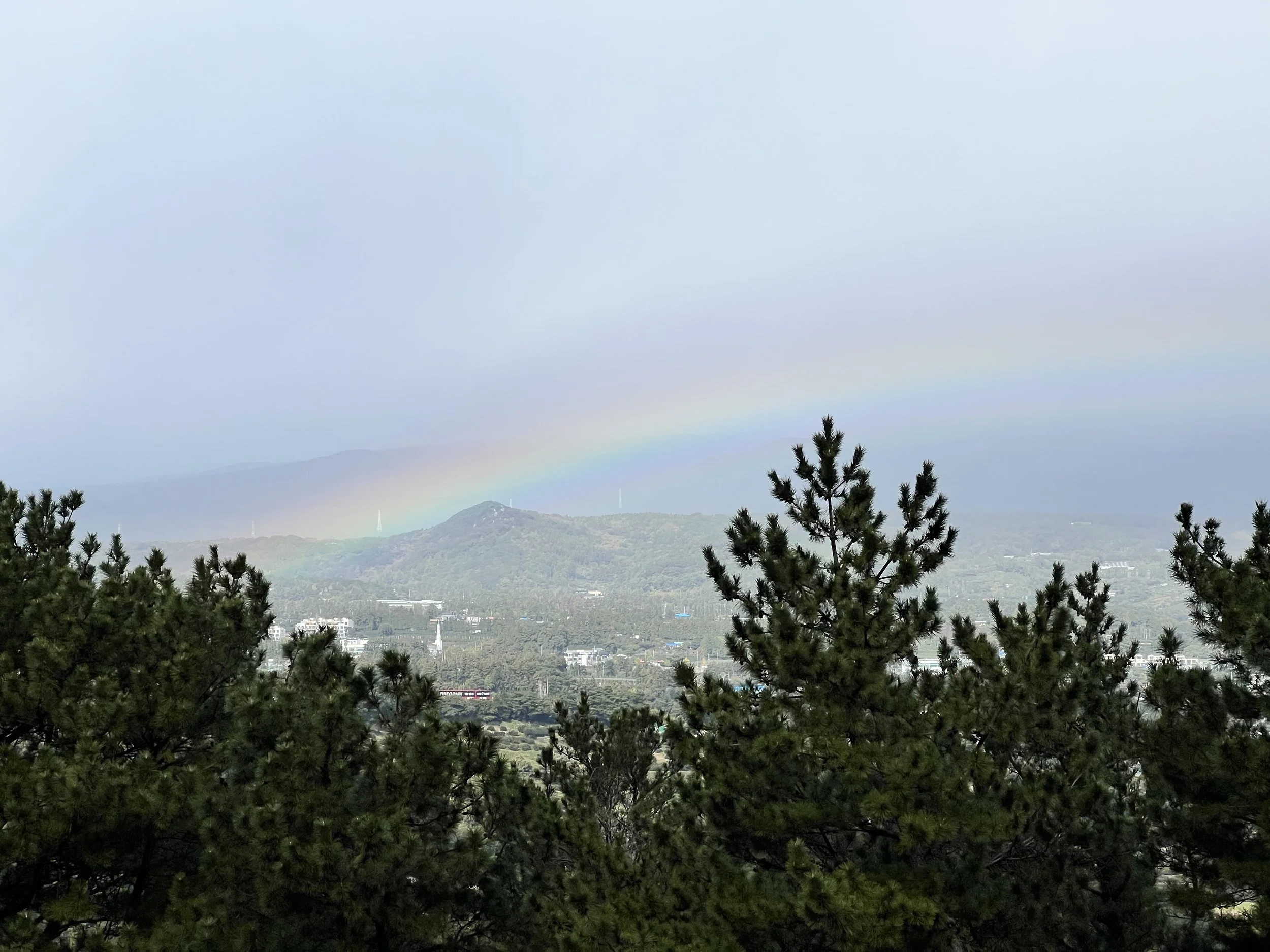
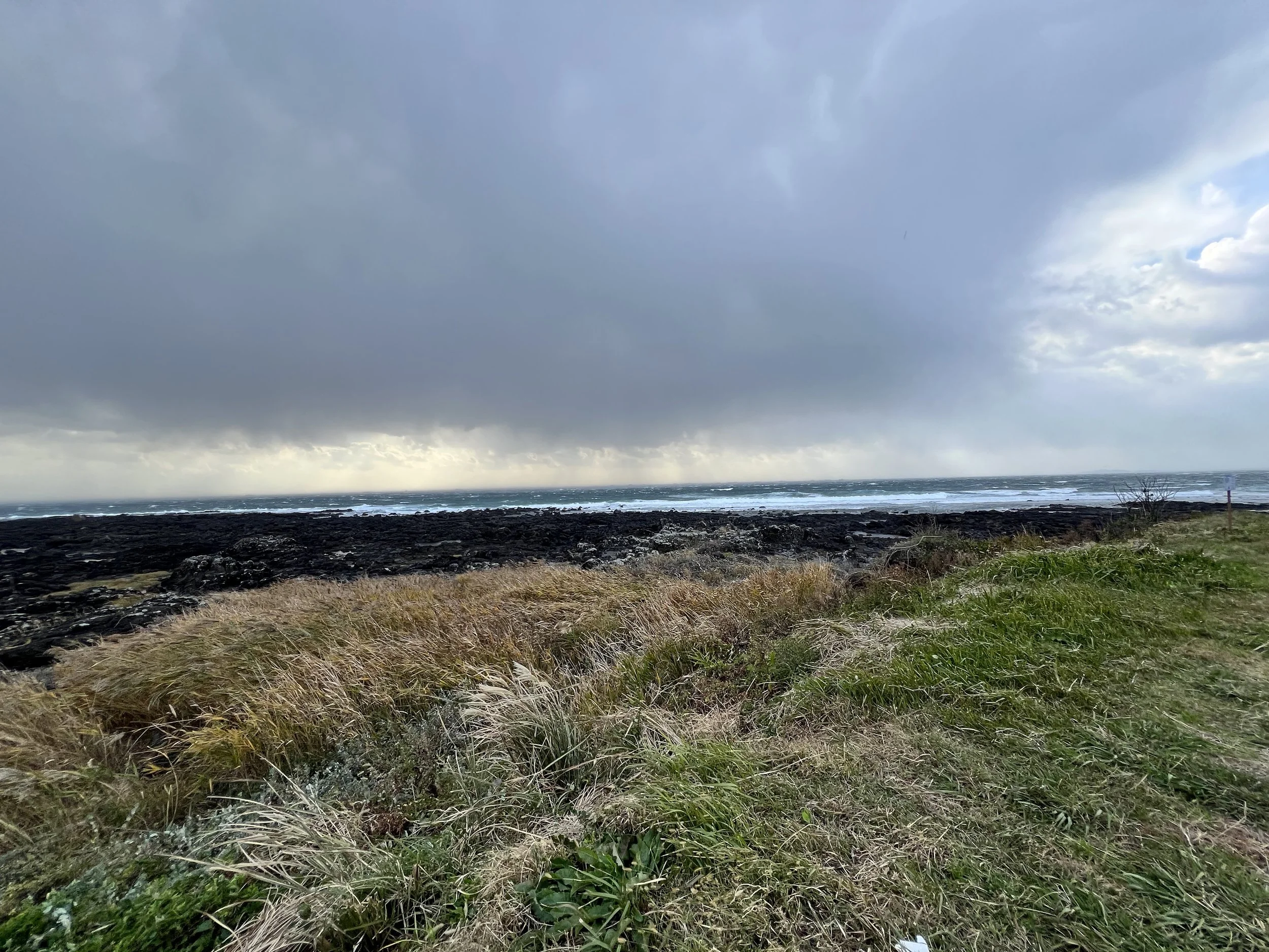
Despite the less-than-ideal weather, I enjoyed the scenery. Near the end, strong winds made it difficult to stay upright! After collecting my completion stamp for Trail 7, I walked a few blocks to catch a bus back to Seogwipo.
Background
Jeju Olle Trail 7 (제주올레 7코스) stretches between Seogwipo Port (서귀포항) and Wolpyeong-ri (월평리), spanning roughly 15.3 km. The trail takes hikers along beaches, city parks, fishing villages, and forested paths, blending natural scenery with the culture and daily life of southern Jeju. Trail 7 is ideal for those who want a mix of coastal views, village encounters, and light forest walks, while following the signature blue (clockwise) or orange (counterclockwise) Olle arrows.
Getting There
Using Seogwipo as my base, I walked to the starting point for Jeju Olle Trail 7 as Seogwipo is the starting point for it, I didn’t need to walk too far from my accommodation. I found the coordinates on the Jeju Olle website and used KakaoMap or Naver Map to check bus routes by entering the coordinates directly. The English versions of these apps aren’t perfect, but they’re still reliable for navigation. You can also view and follow the full Jeju Olle route on either app.
Jeju Olle Trail 7 Starting Point Coordinates: 33.247461, 126.558717
Note: Google Maps doesn’t work well in South Korea—it lacks updated local data, and public transit directions are unavailable due to national security restrictions.
Route Overview
Distance: 18.93 km point-to-point (Trail 7 → Trail 8)
Total elevation gain: 468 m
Duration: 4 hr 14 min (with breaks 4 hr 25 min)
Difficulty: Intermediate
Cost Breakdown
Bus: Trail 8 starting point → Accommodation — ₩1,150
Jeju Olle Passport: ₩20,000