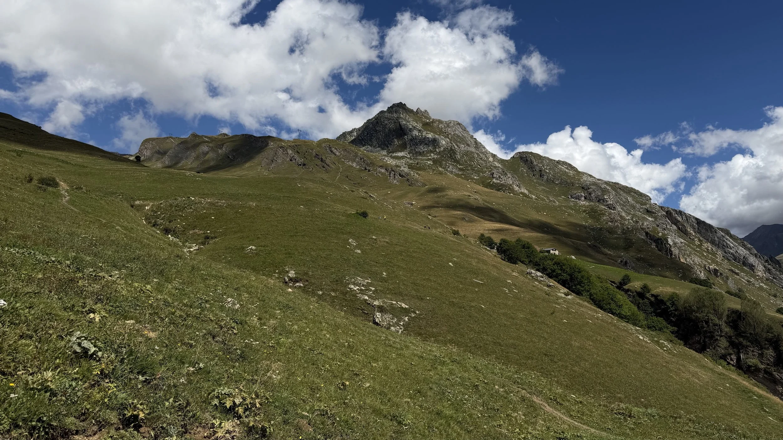
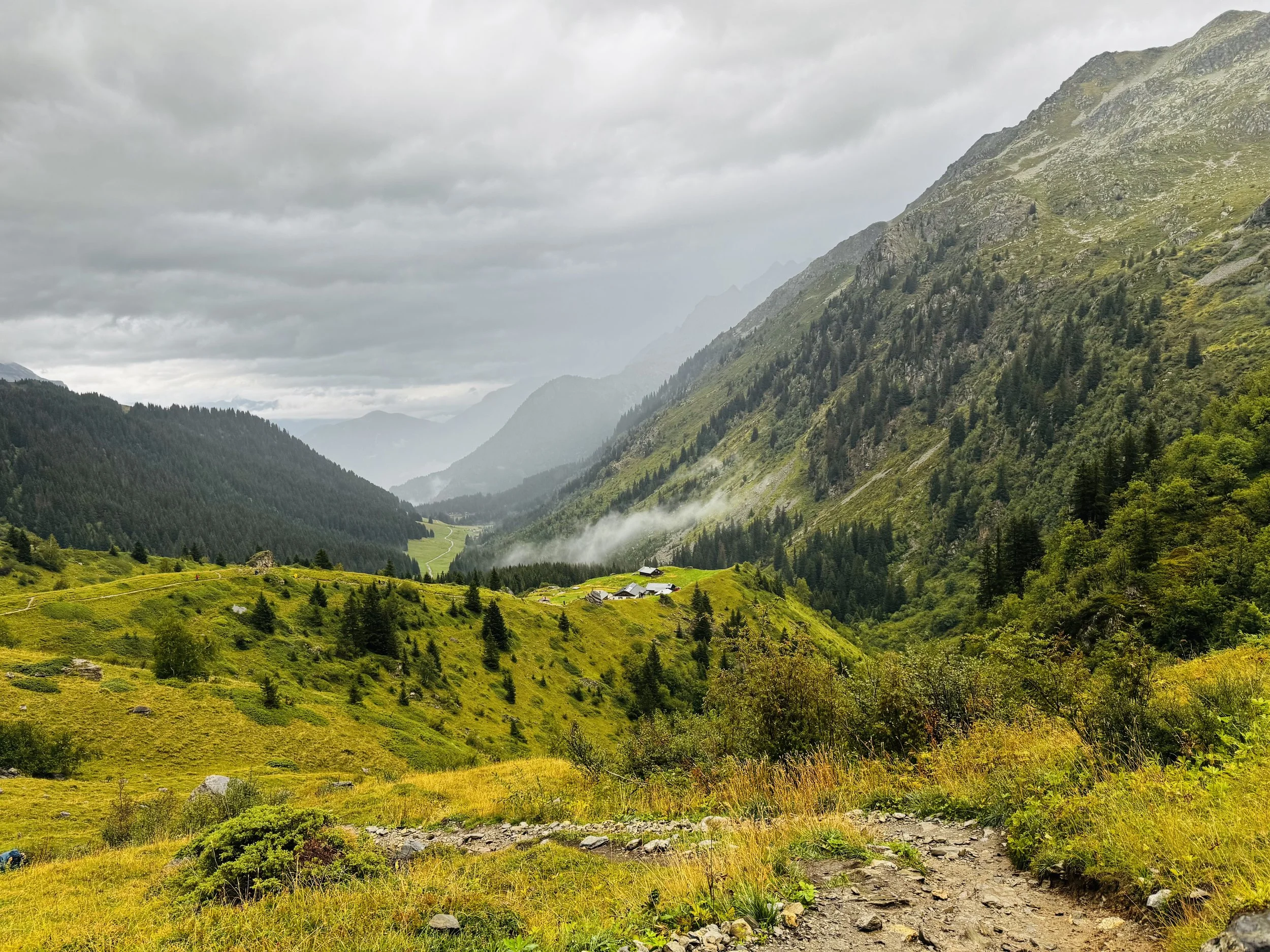
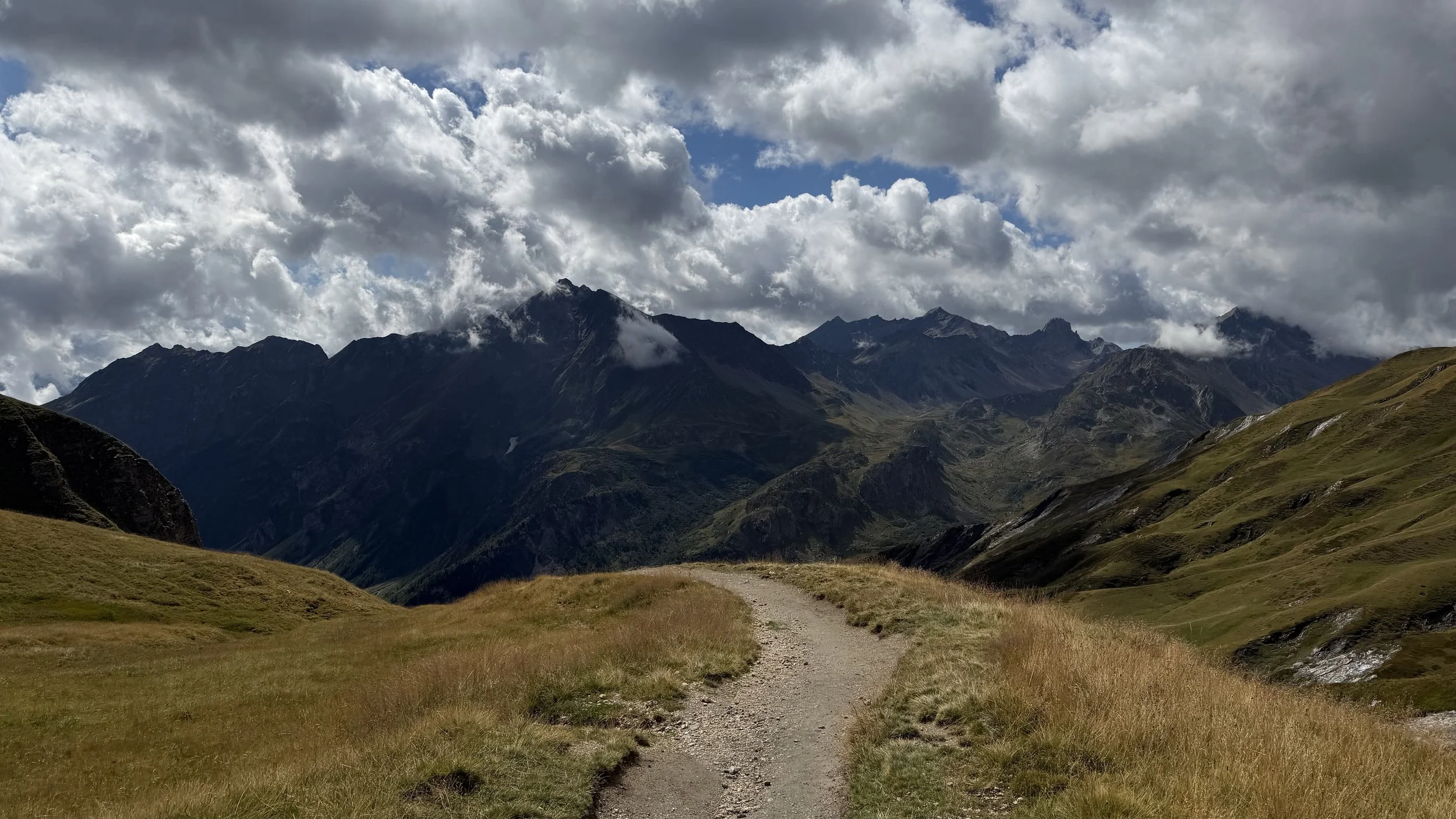
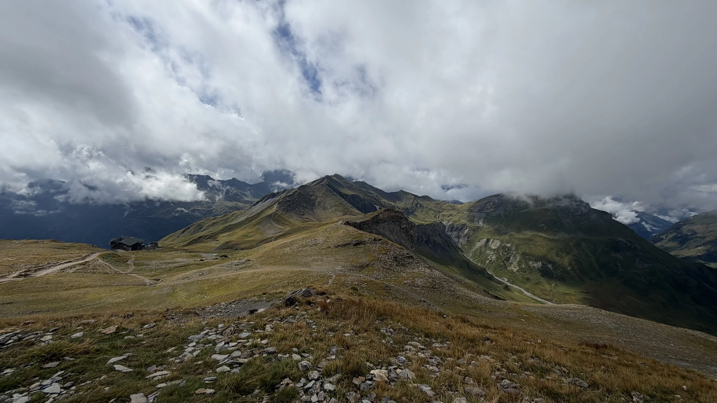
I anticipated this would be a long day, and the weather forecast wasn’t looking particularly promising this morning. I set off in the darkness with my headlamp on, making my way towards the trail that follows the river to Notre-Dame de la Gorge.
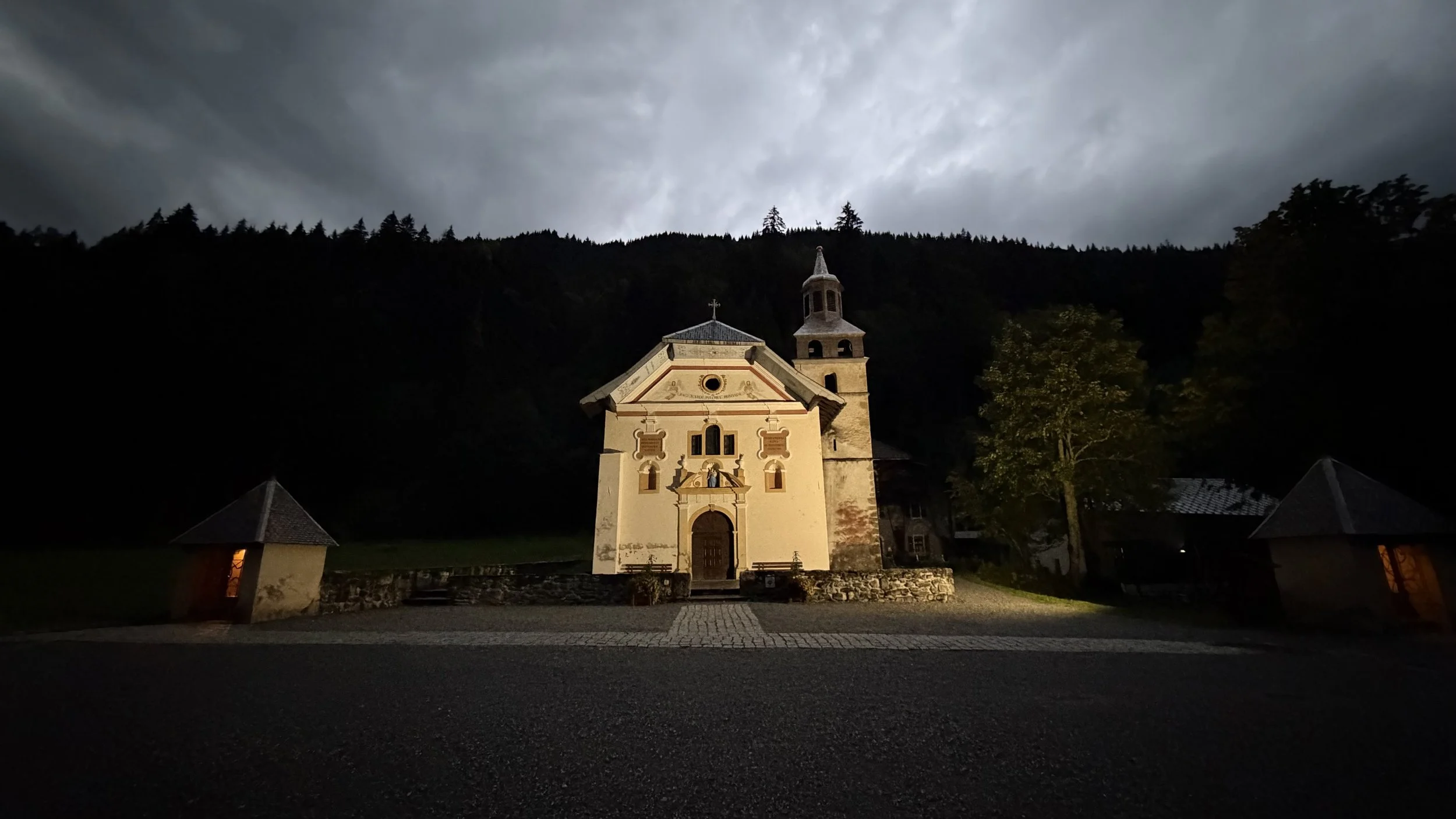
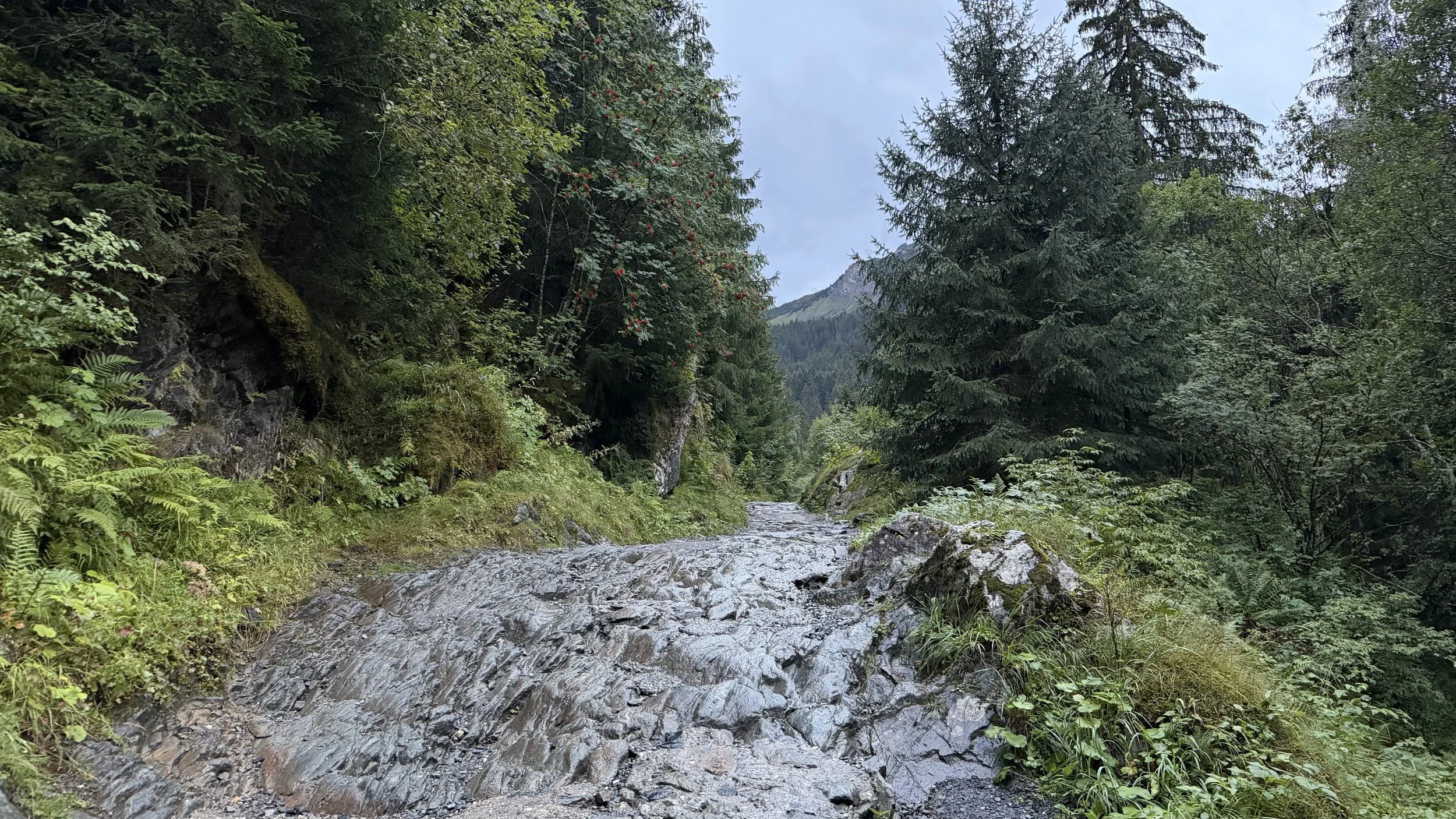
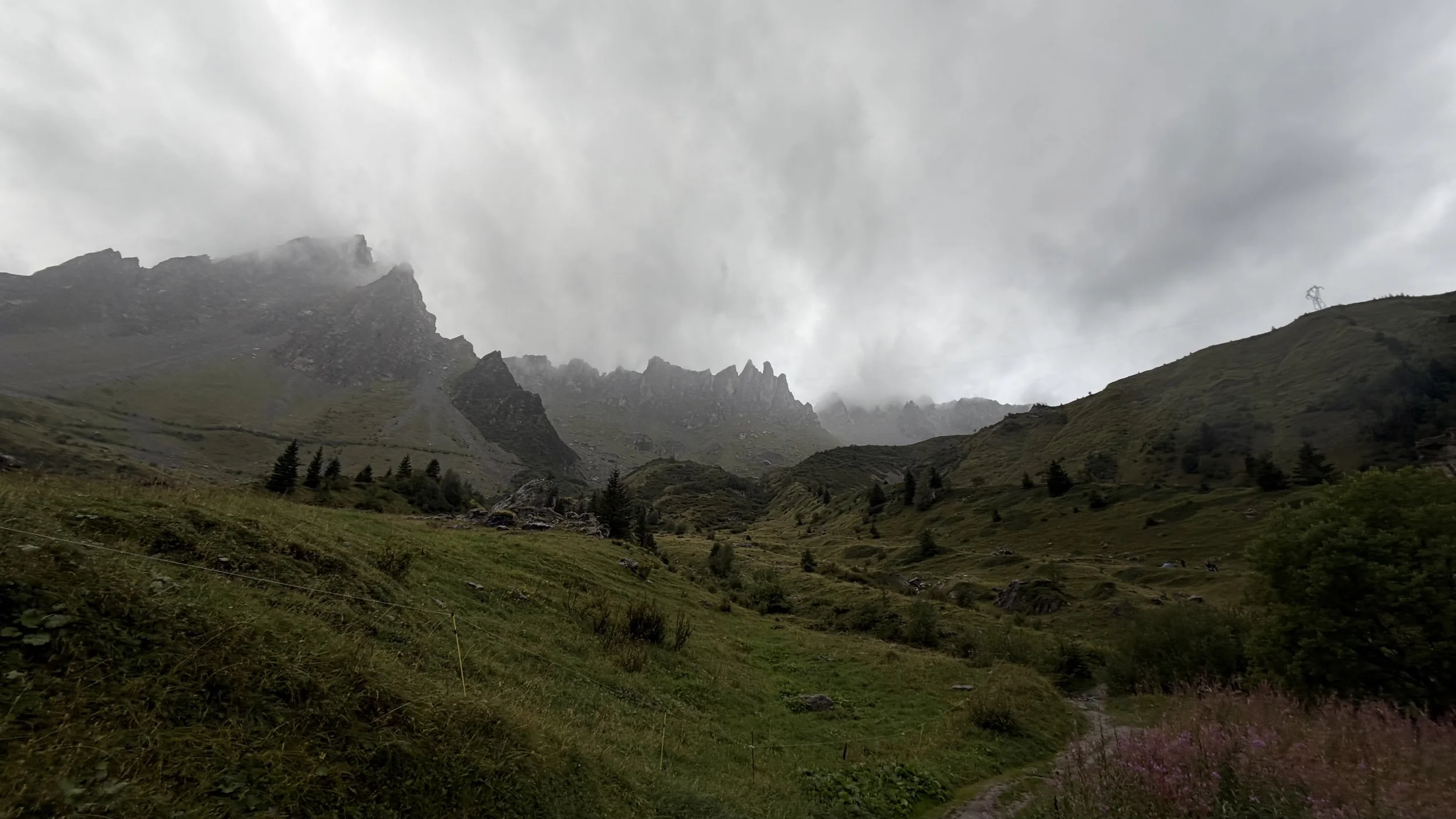
The first stretch was quiet, with only the sound of the river accompanying me in the darkness. By the time I arrived at Notre-Dame de la Gorge, it had started to rain. I took some time to photograph the church before continuing up the hill. I found this section of the trail much more enjoyable than the gravel climb from the previous day. The rain came and went as I made my way uphill. After taking my rain jacket on and off several times, I eventually gave up and decided to leave it on, despite the humidity.
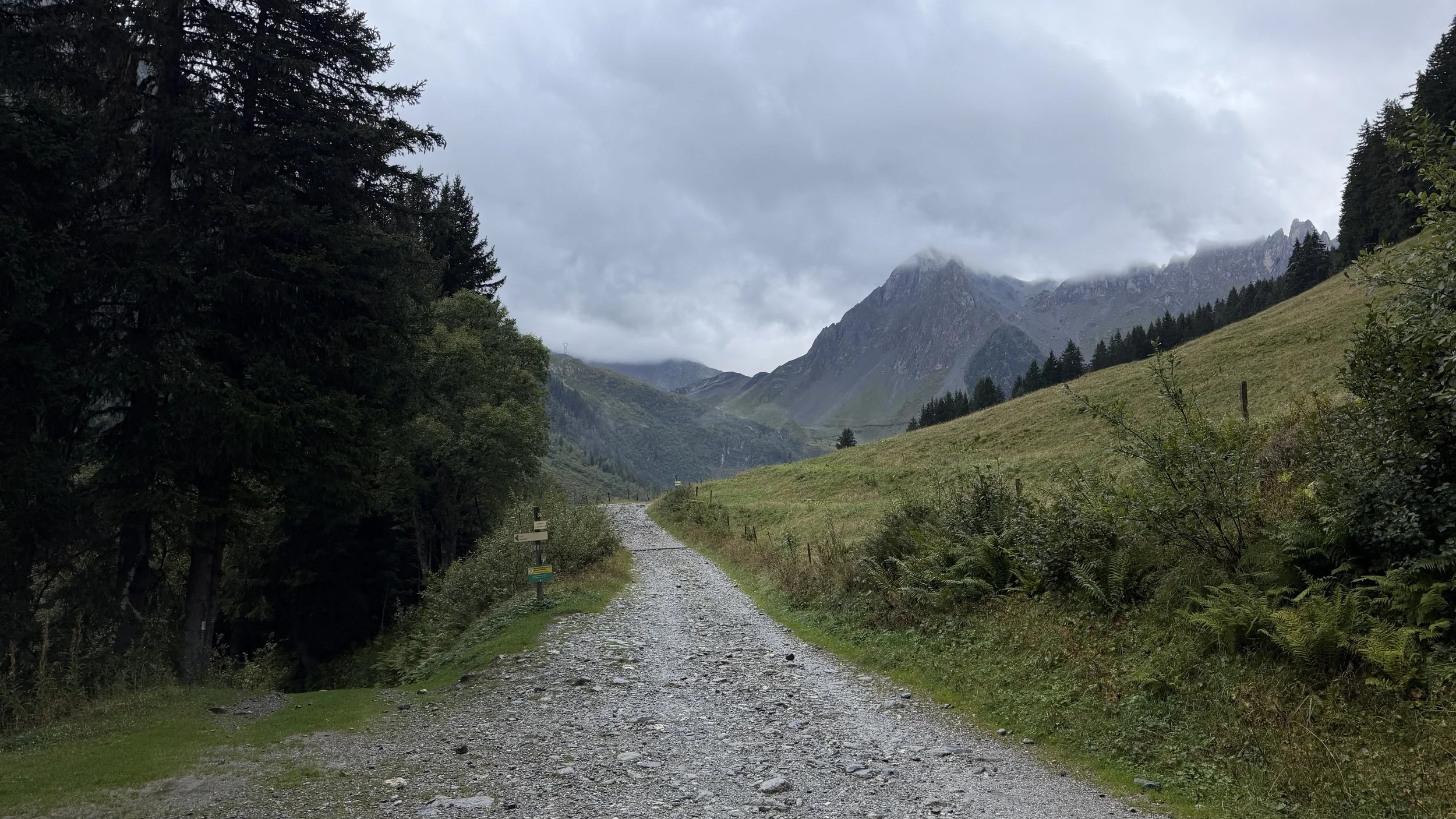
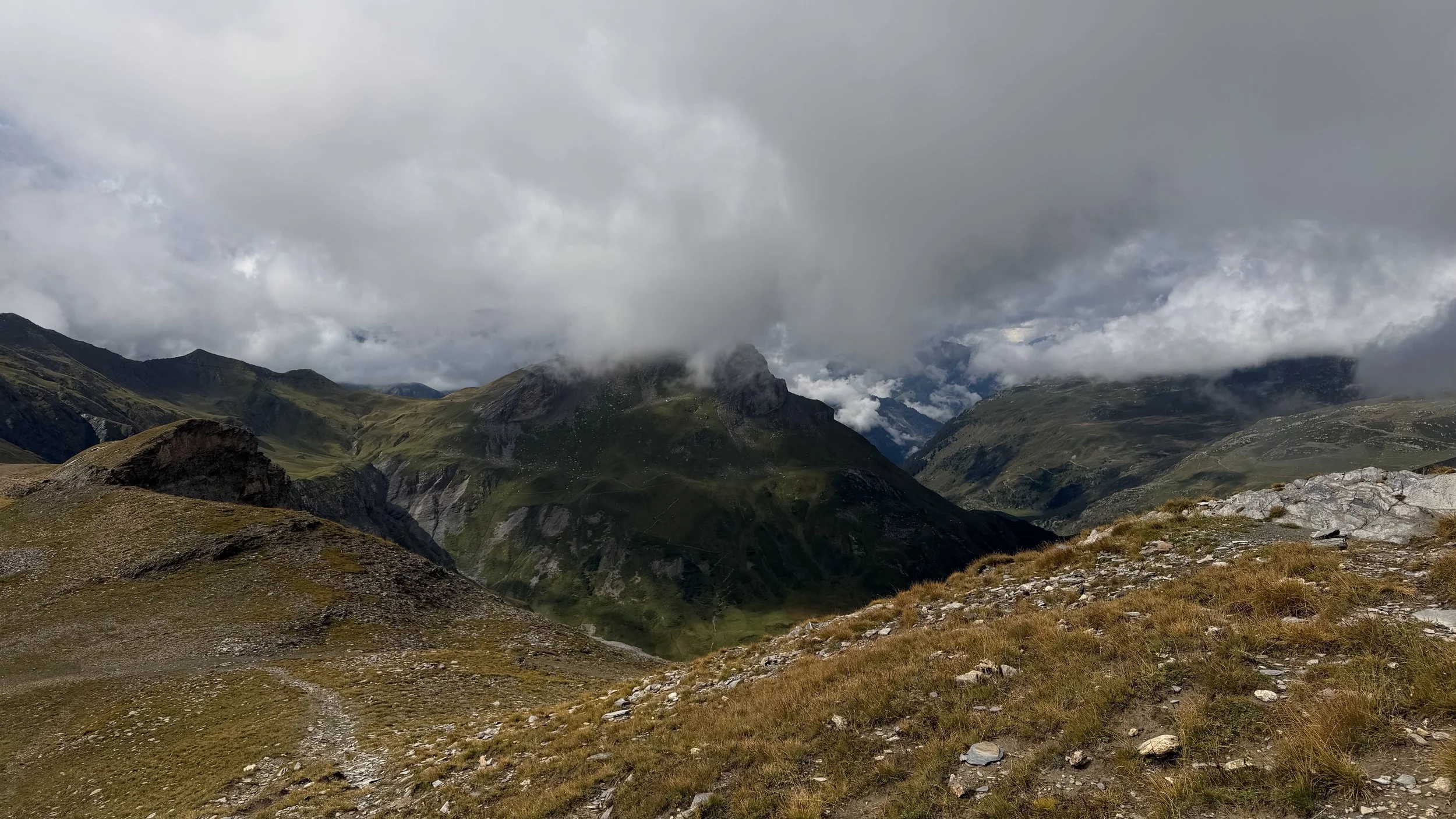
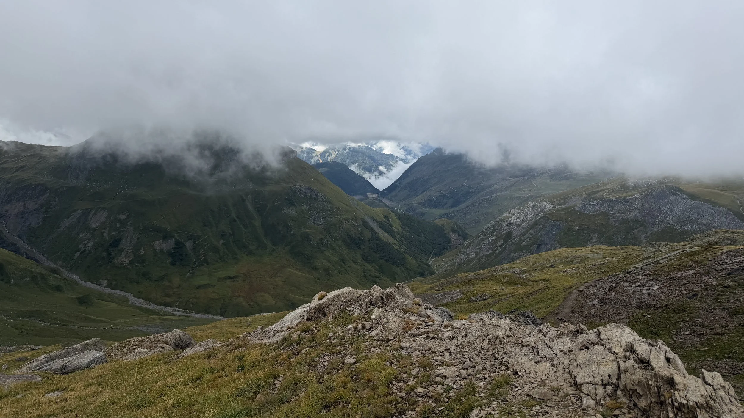
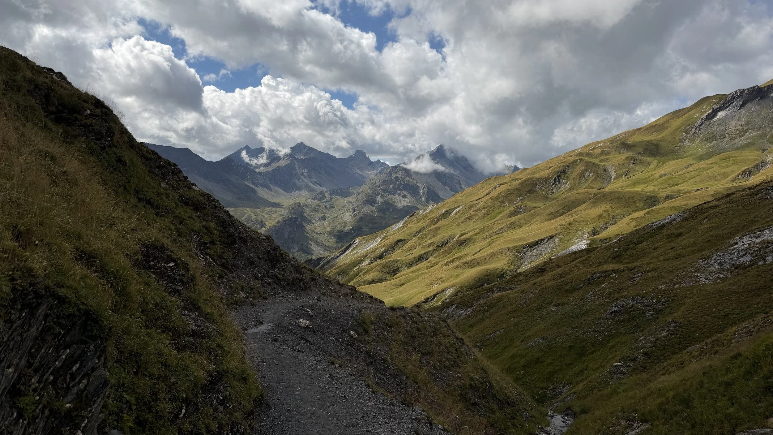
As I approached Refuge de la Balme, I saw several fellow hikers setting off from the refuge and continuing up the mountain. Beyond this point, the trail became muddy, with puddles scattered along the path and running water flowing down parts of the mountainside. The higher I climbed, the foggier it became, until I could barely see what lay ahead. As the trail entered more boulder-strewn and rocky terrain, I had to pay extra attention to the painted trail markers on the rocks to make sure I was heading in the right direction.
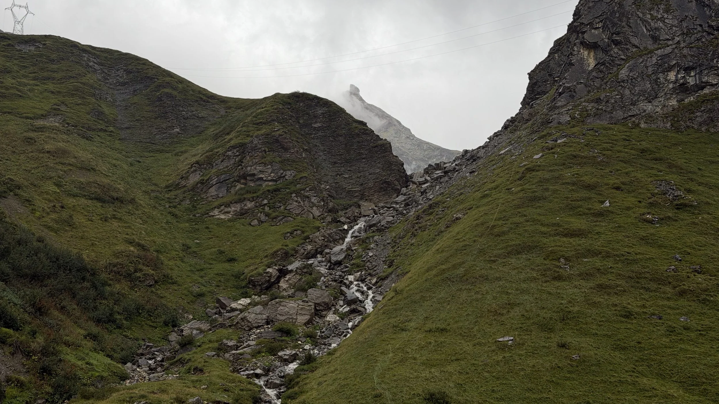
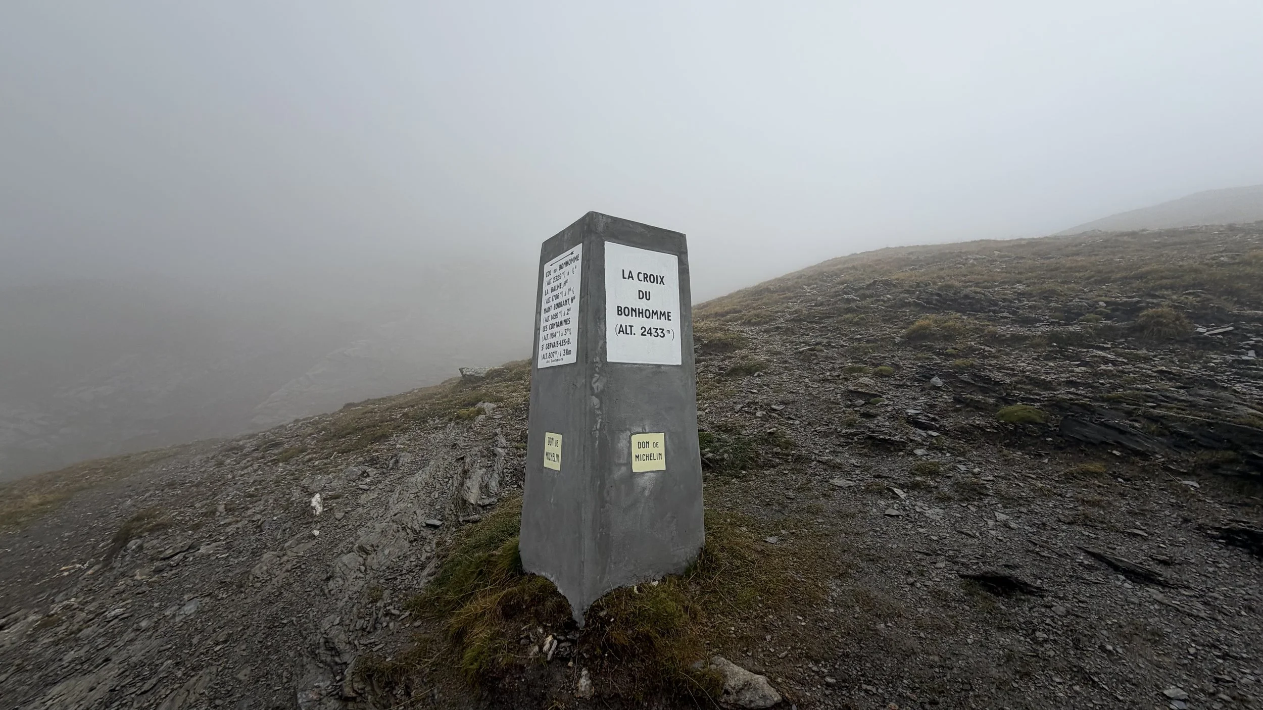
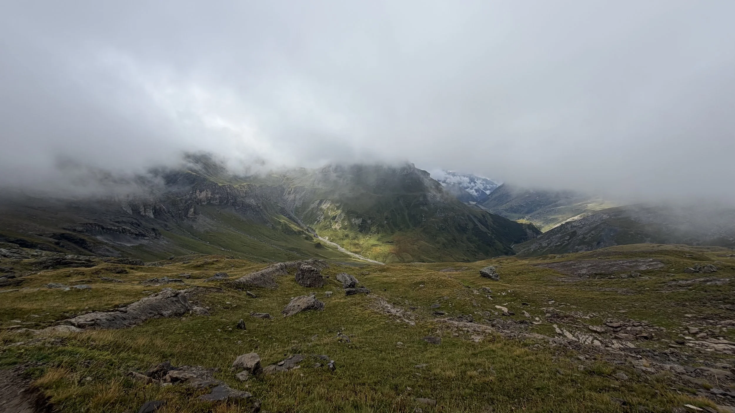
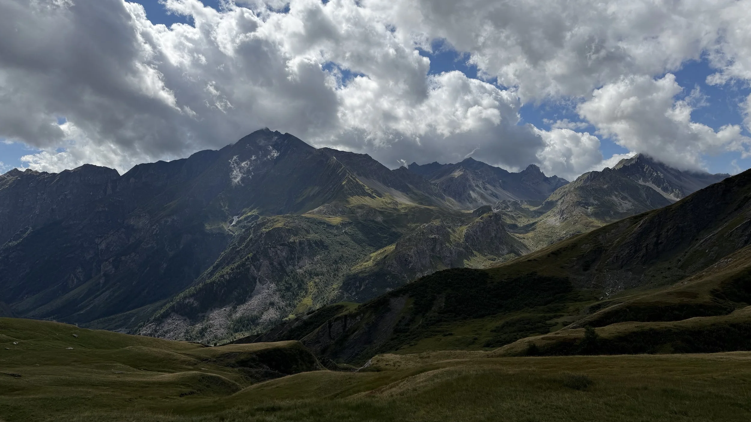
At one point, I followed another hiker who appeared to be heading the same way. It turned out that he had been given incorrect directions, but thankfully, we realized our mistake early and turned around. Once I was back on the correct trail, I came across a waterfall before tackling the rocky climb towards Col de la Croix du Bonhomme. By the time I reached the col, the weather had finally started to improve, and the clouds began to dissipate.
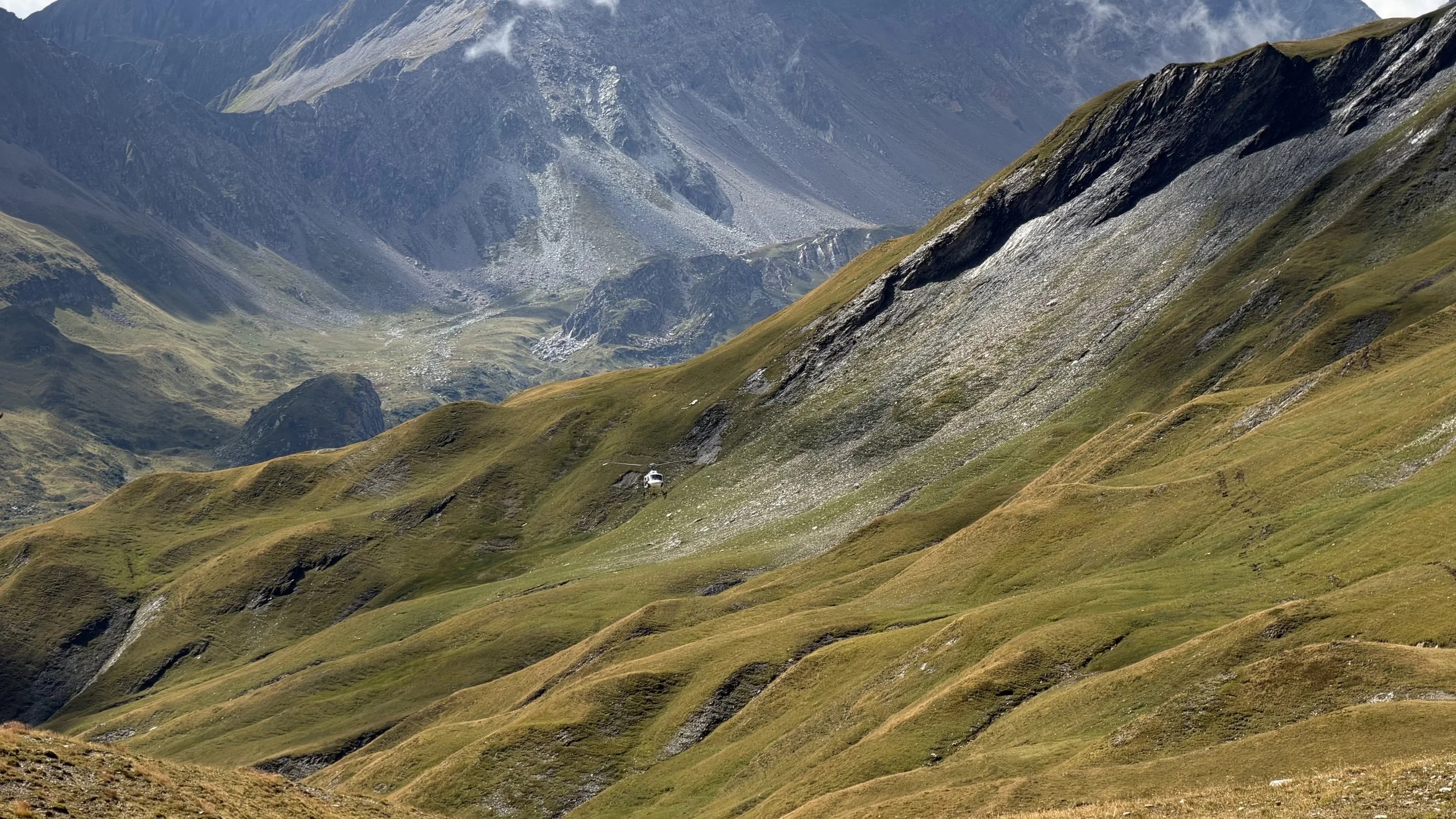
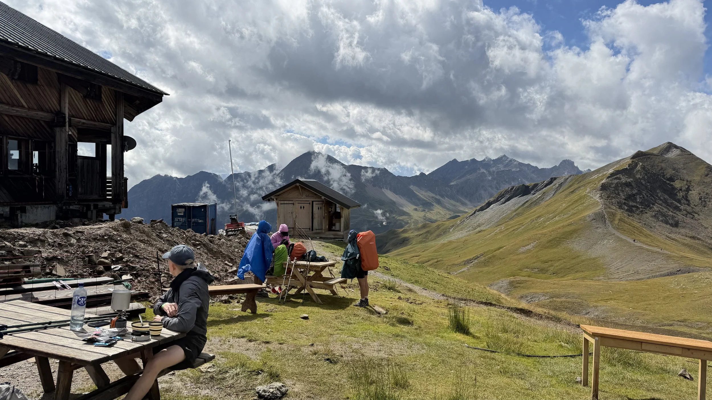
I took a short break beside the marker at the top of the col before continuing towards Refuge de la Croix du Bonhomme. I had completely forgotten that the refuge was closed for renovations, so my original plan to stop for food was no longer an option. Fortunately, the water tap was still available, along with the outhouse. I didn't linger for long and soon began the long descent down the mountain.
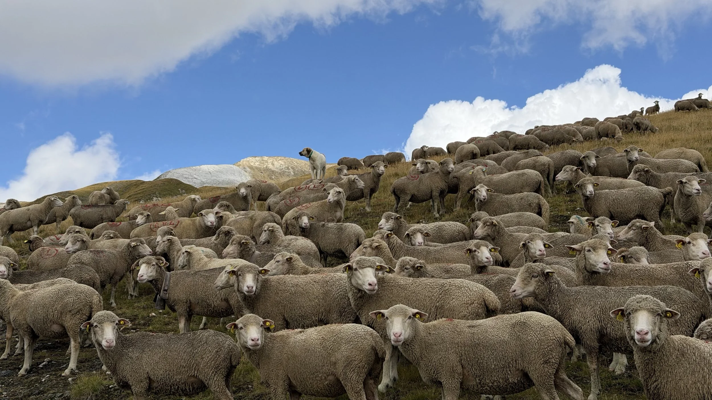
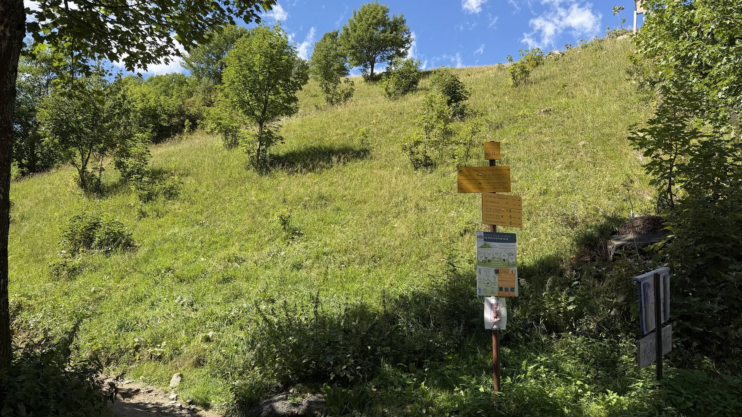
The descent was relatively uneventful, although I did come across a herder with a flock of sheep and several sheepdogs. It was quite an experience walking past them along the trail! Once I reached the bottom, I took another short break by a small bridge before continuing the final stretch into Les Chapieux.
My first stop in the village was the bus ticket machine, located just a few steps from the information centre. Since I couldn't find accommodation in Les Chapieux, I had booked a place in Bourg-Saint-Maurice, which was only a short bus ride away. With just two buses scheduled for later that afternoon, I had a few hours to wait. I made the most of the downtime by enjoying a relaxed lunch and spending some time unwinding near the nearby grassy field. After a long day on the trail, it was a welcome chance to rest before continuing to my accommodation.
Background
The Tour du Mont Blanc (TMB) is a long-distance hiking route that circles the Mont Blanc massif, passing through France, Italy and Switzerland. The traditional circuit is approximately 170 km long and is usually completed over 7 to 11 days, depending on the chosen route and pace.
This stage crosses the Beaufortain region of the French Alps, climbing from Les Contamines-Montjoie towards Col de la Croix du Bonhomme before descending into Les Chapieux. The col, at approximately 2,483 metres, is one of the high points of this section of the TMB. Along the way, hikers pass Notre-Dame de la Gorge, a historic Baroque-style church that marks the transition from the valley into the mountain trail.
Refuge de la Croix du Bonhomme is an important mountain refuge on this section of the route, offering a place for hikers to rest and stay during the trekking season. Its exposed location near the col makes it a familiar landmark for TMB hikers.
Getting There
Les Contamines-Montjoie is accessible by road and public transport from the wider Chamonix and Saint-Gervais-les-Bains area. From Saint-Gervais-les-Bains, buses connect to Les Contamines, although services and connections vary by season. The village is also accessible by car, with parking available in the area.
The trail begins in Les Contamines-Montjoie and follows the valley towards Notre-Dame de la Gorge before climbing towards Refuge de la Balme and Col de la Croix du Bonhomme. From the col, the route descends to Les Chapieux. Les Chapieux has limited public transport, particularly outside the main hiking season, so it is worth checking the bus timetable in advance if continuing to Bourg-Saint-Maurice for accommodation.
Route Overview
Distance: 19.1 km out & back (Les Contamines → Les Chapieux)
Total elevation gain: 1,382 m
Duration: 6 hr 01 min (with breaks 7 hr 49 min)
Difficulty: Challenging
Cost Breakdown
Accommodation: €51.1
Bus: Les Chapieux → Bourg-Saint-Maurice — €8
Food: €26.25