Sydney Harbour National Park: South Head Coastal Walk - New South Wales, Australia
Sydney Harbour National Park is not a single continuous area but a collection of distinct sites around the harbour, including North Head, South Head, and several islands. I decided to dedicate three days to exploring the park, starting with the South Head area. I caught a bus toward Diamond Bay, where my walk began.
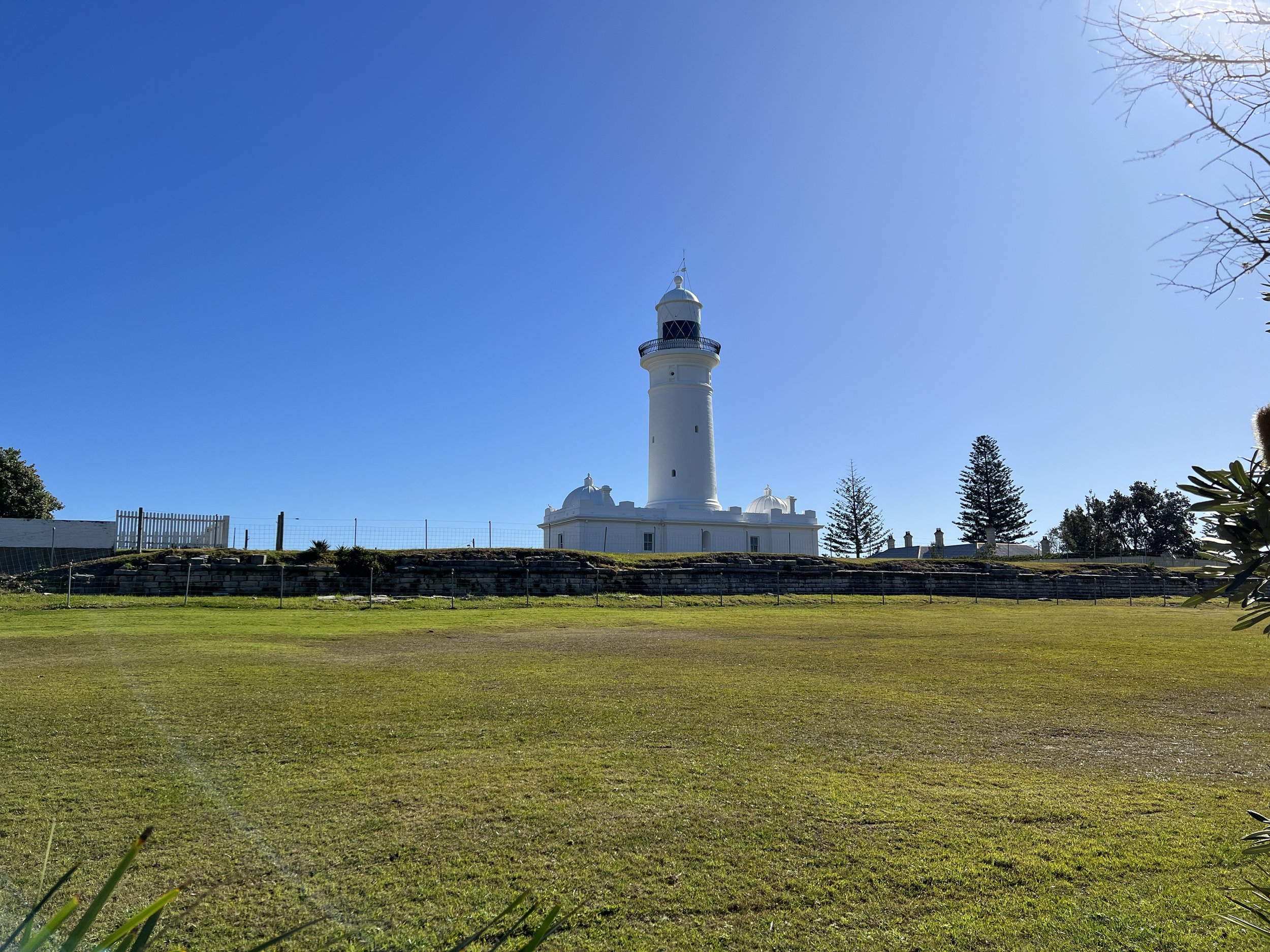
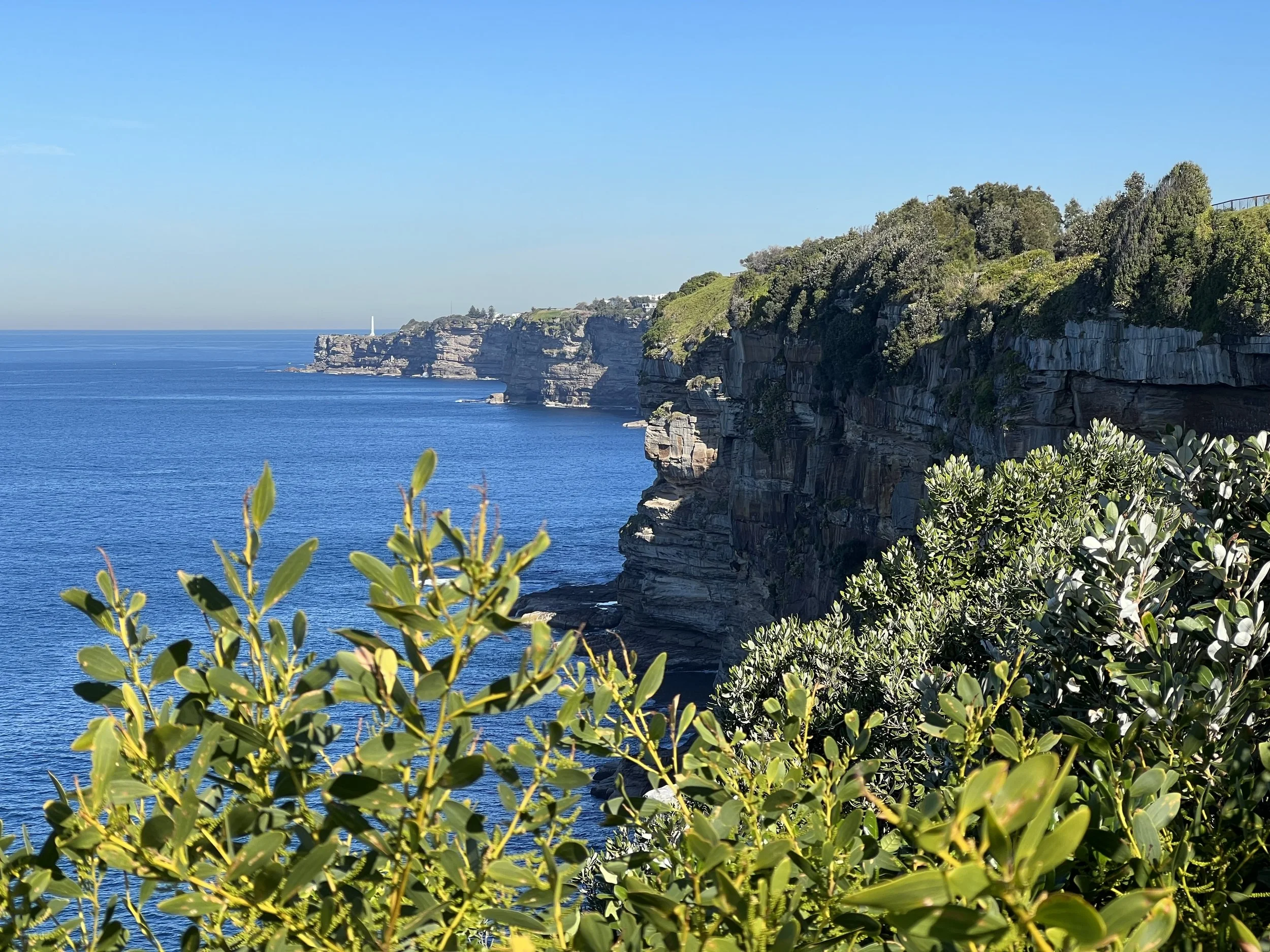
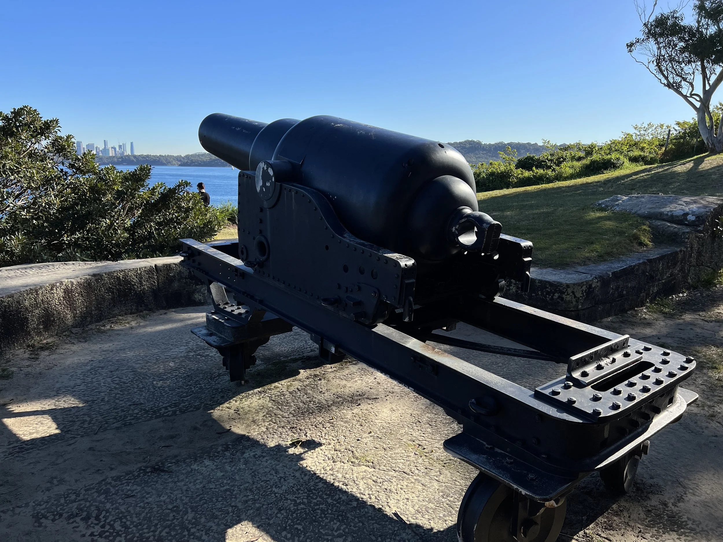
The Diamond Bay cliff area has been inhabited by Aboriginal peoples for thousands of years. After European settlement, this area was used for signalling and later became a military garrison. The views here were breathtaking, with dramatic cliffs, waves crashing against the rocks, and stunning vistas in every direction. The trail winds through a residential area before leading to Macquarie Lighthouse. This historic lighthouse is the first and longest-serving in Australia. I circled the lighthouse, taking photos and appreciating its history, before continuing along the trail.
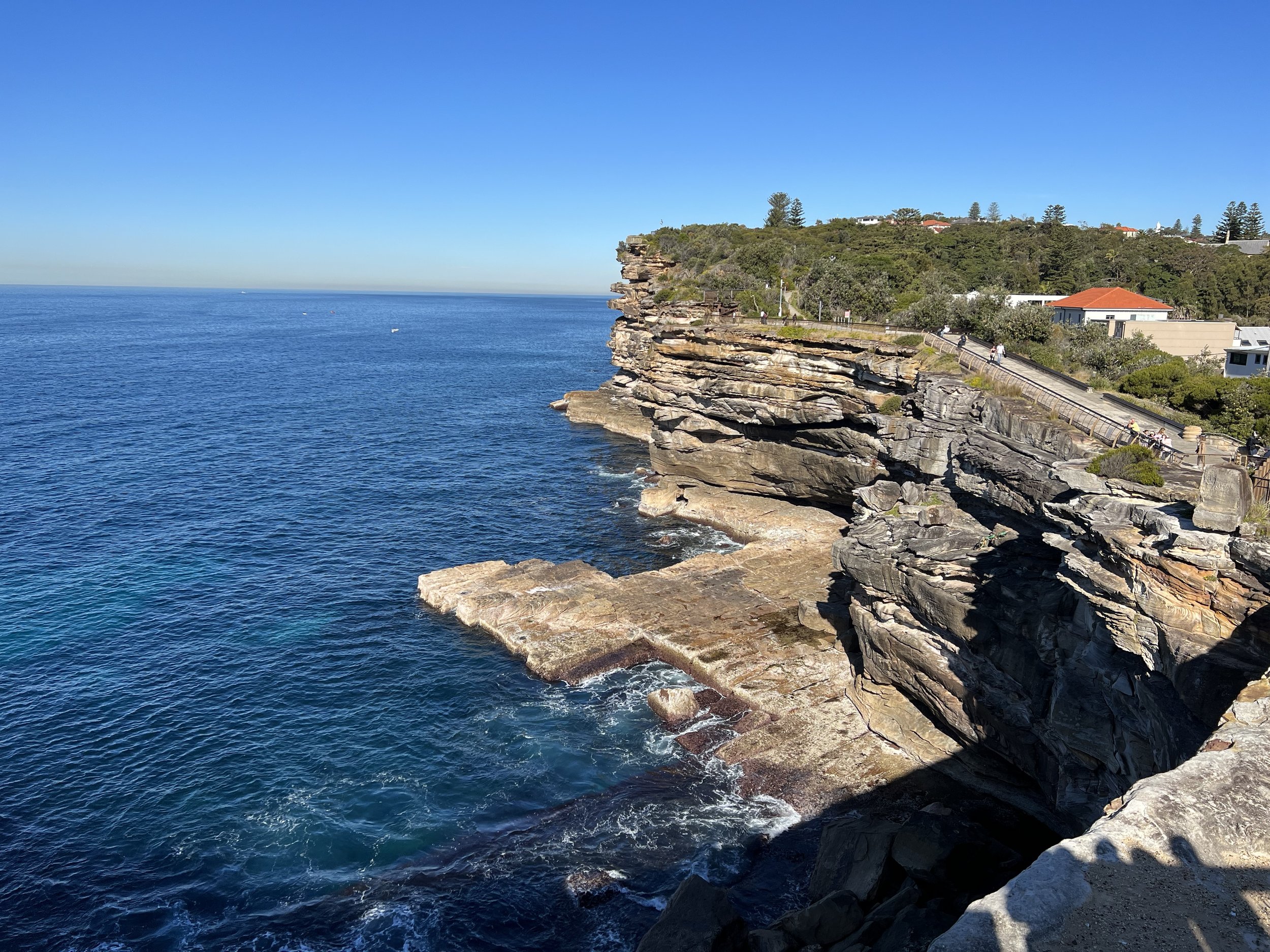
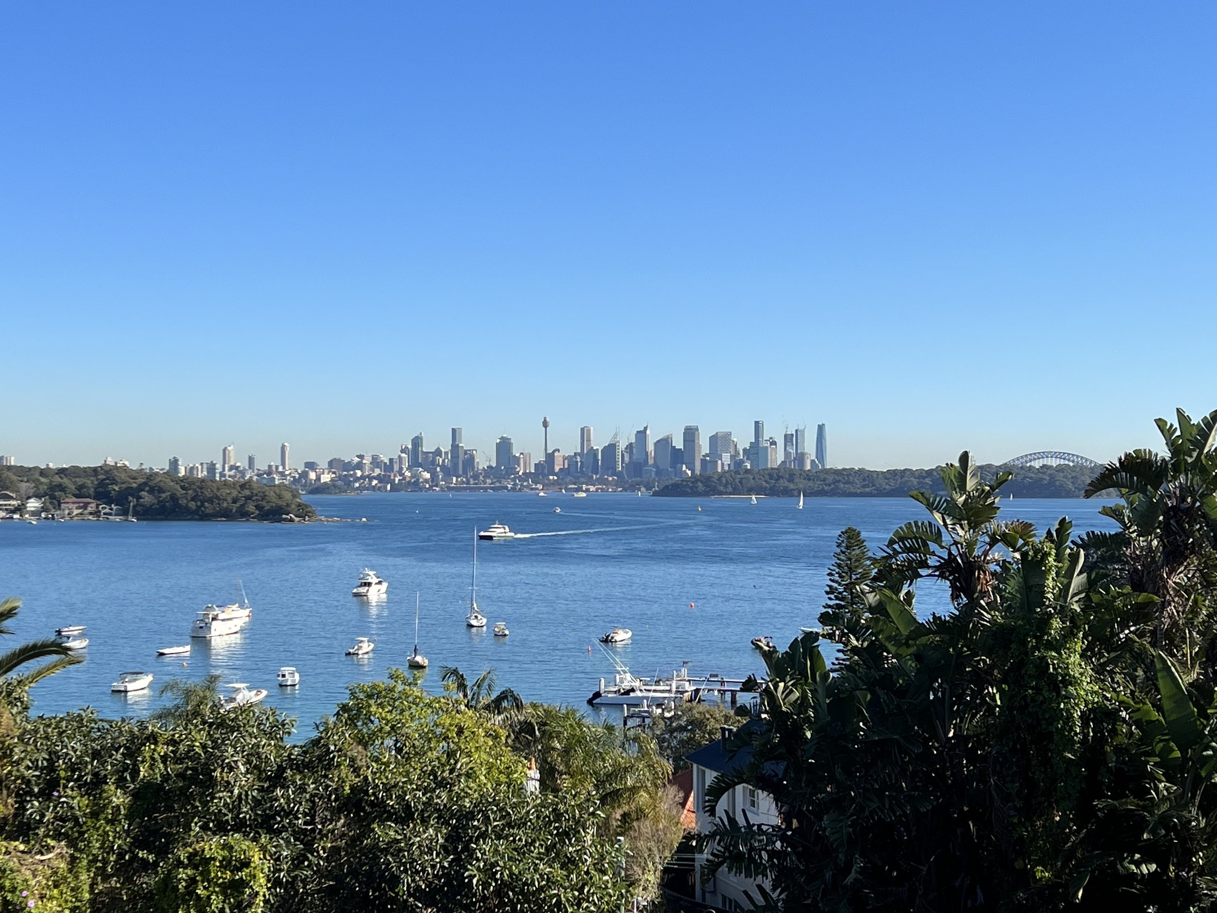
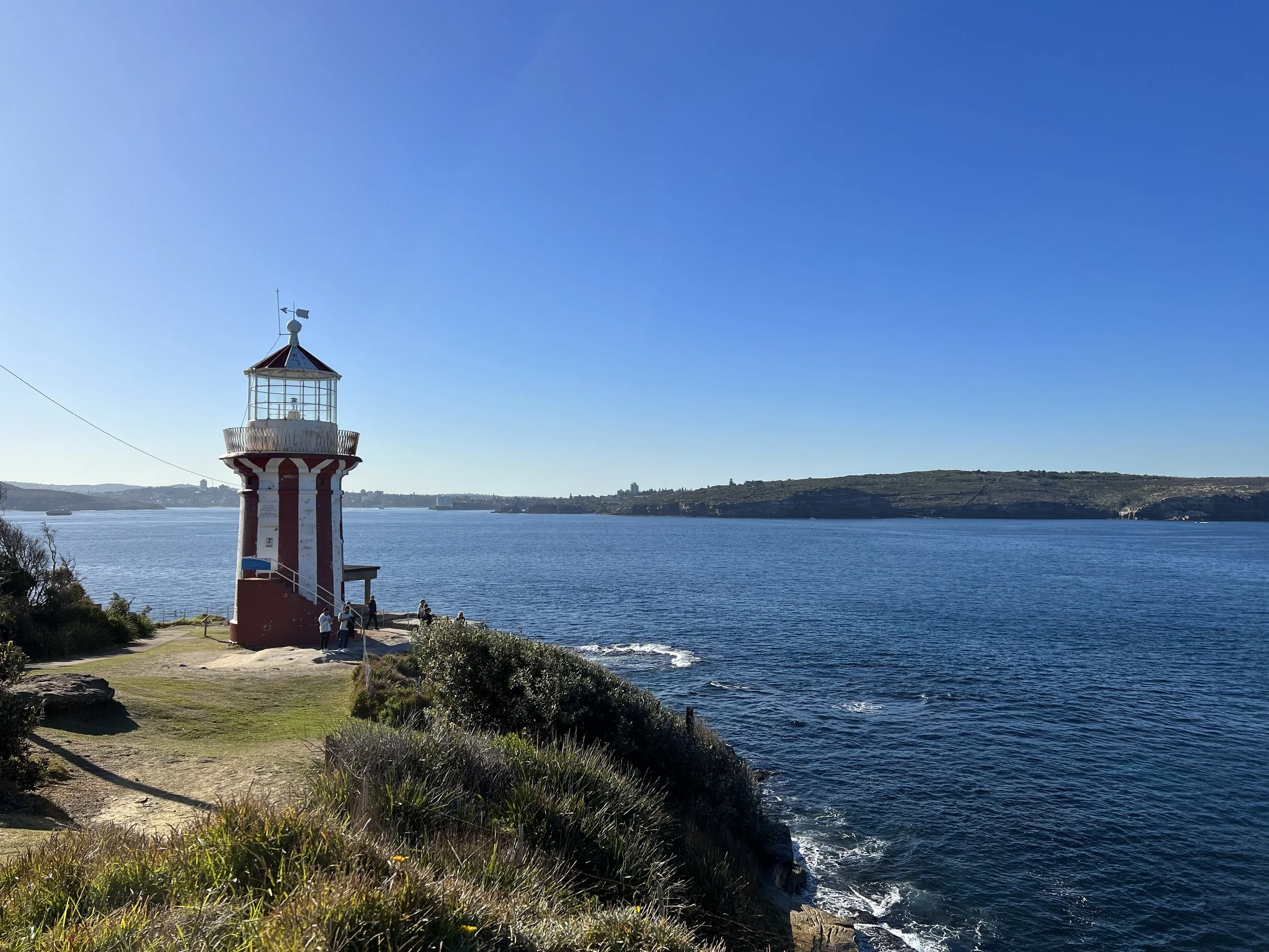
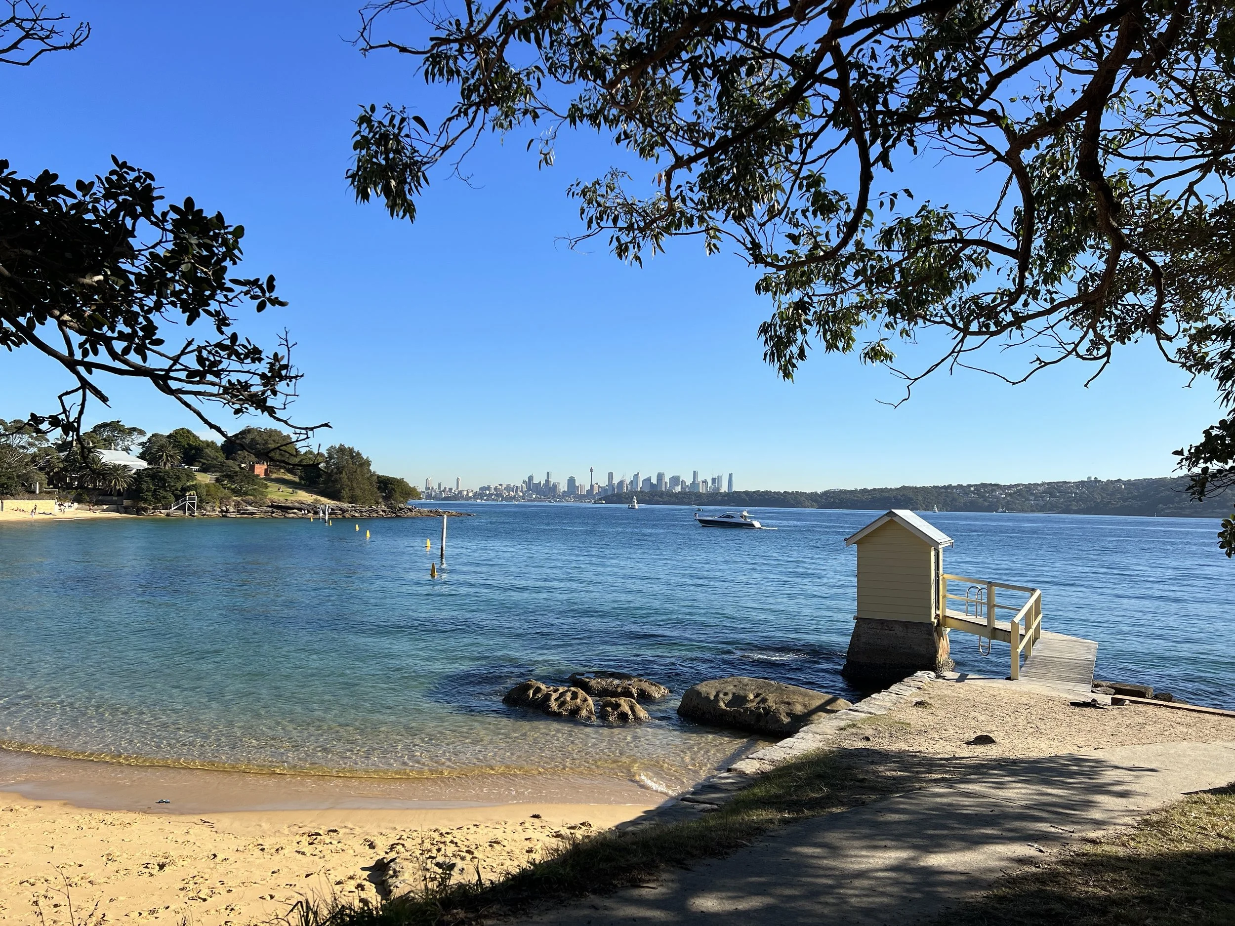
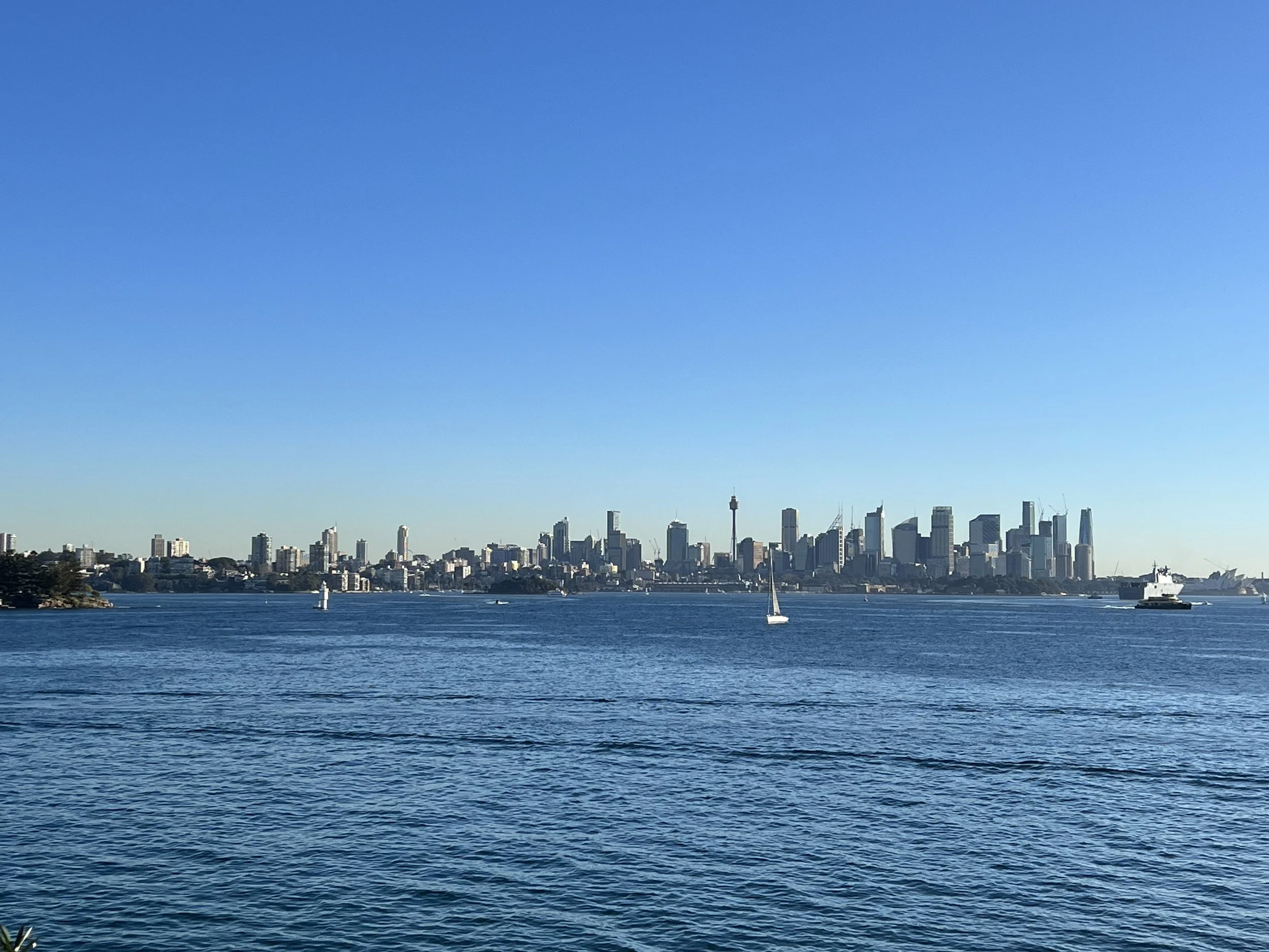
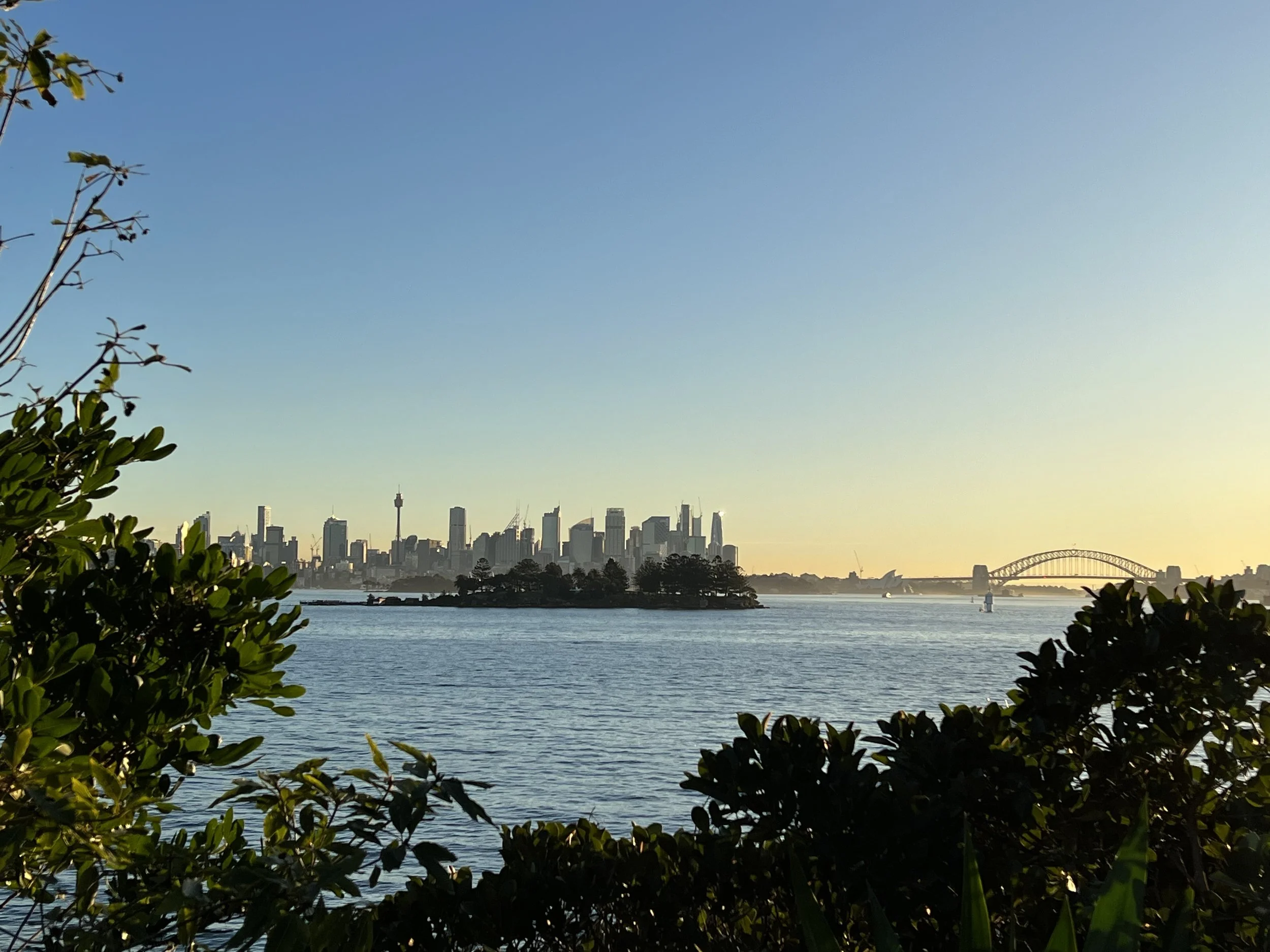
Soon after, the path connected to Gap Park. From here, the South Head section of Sydney Harbour offered panoramic views of the harbour and city skyline. Watsons Bay still hosts an active naval base, which added a unique maritime element to the scenery. I followed the trail toward Hornby Lighthouse, a functioning red-and-white striped lighthouse built in 1858. Its charming façade and the adjacent light keeper’s cottage make it a popular photo spot, and I could see why it’s also a sought-after location for sunset photography.
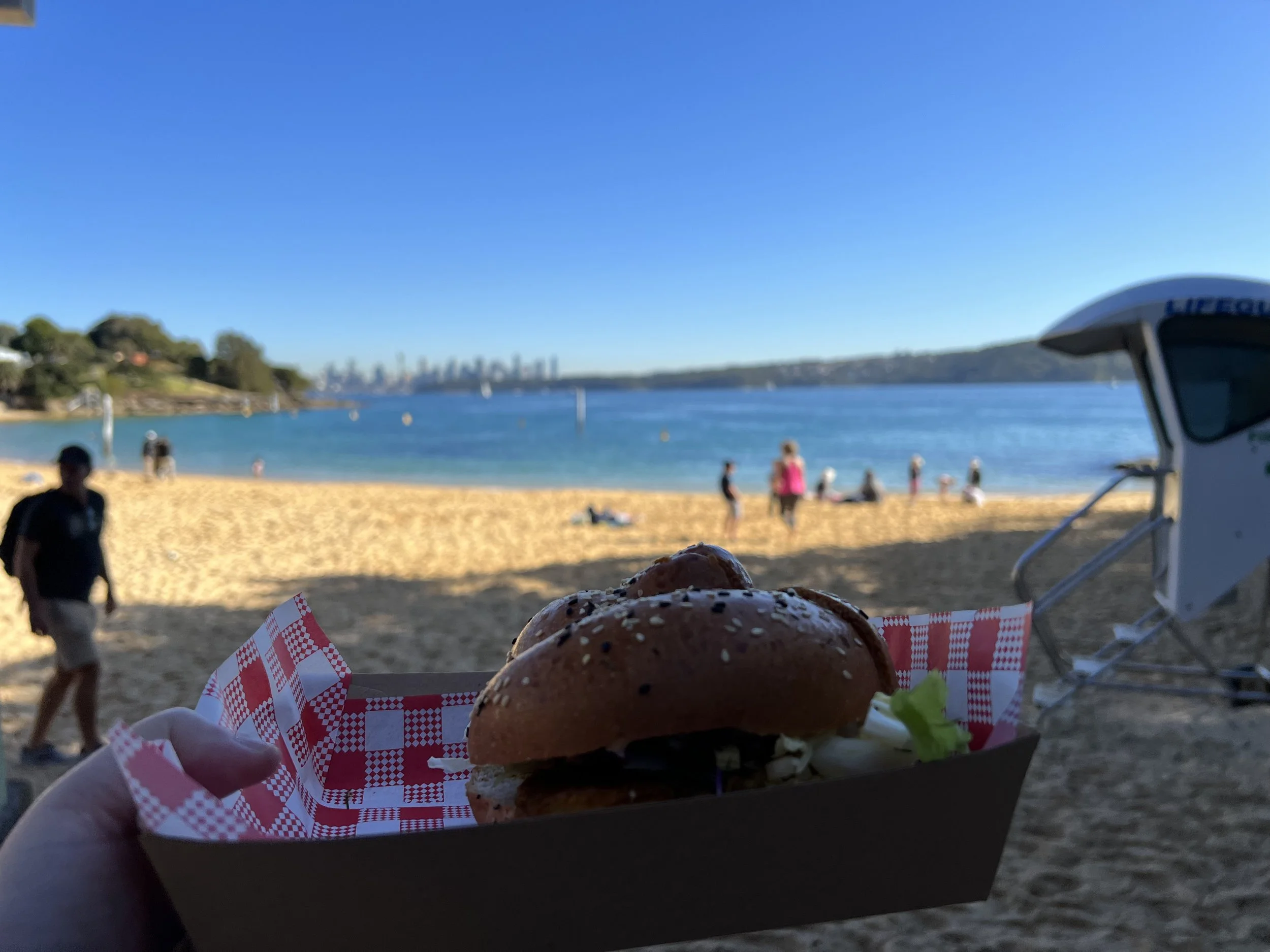
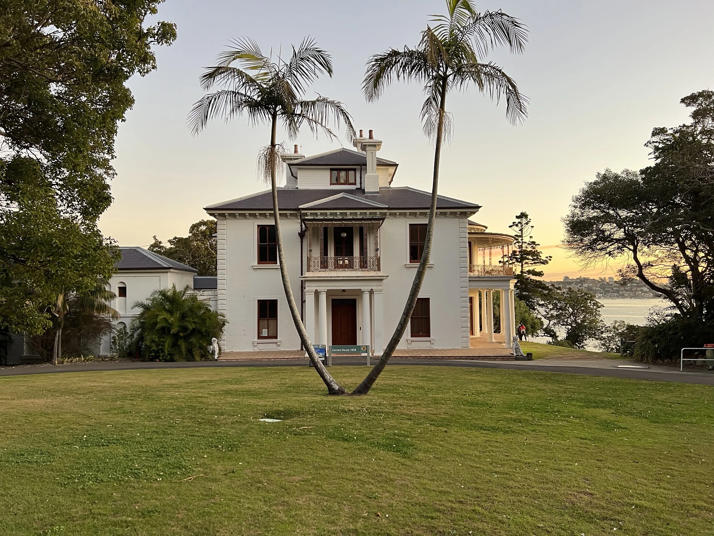
After pausing to rest, I continued to Camp Cove Beach for a late lunch, enjoying a burger while sitting by the sand. From there, I made my way toward Shark Beach, my planned sunset spot was nearby. Along the way, I stopped at several lookouts with sweeping views of Sydney Harbour and the skyline. One notable stop was Strickland Estate, also known as Carrara House—a 19th-century Victorian Italianate villa. This property has served as a private home, a women’s convalescent facility, a hospital, and has even appeared in films. I admired the estate from the outside; its architecture and history were truly impressive.
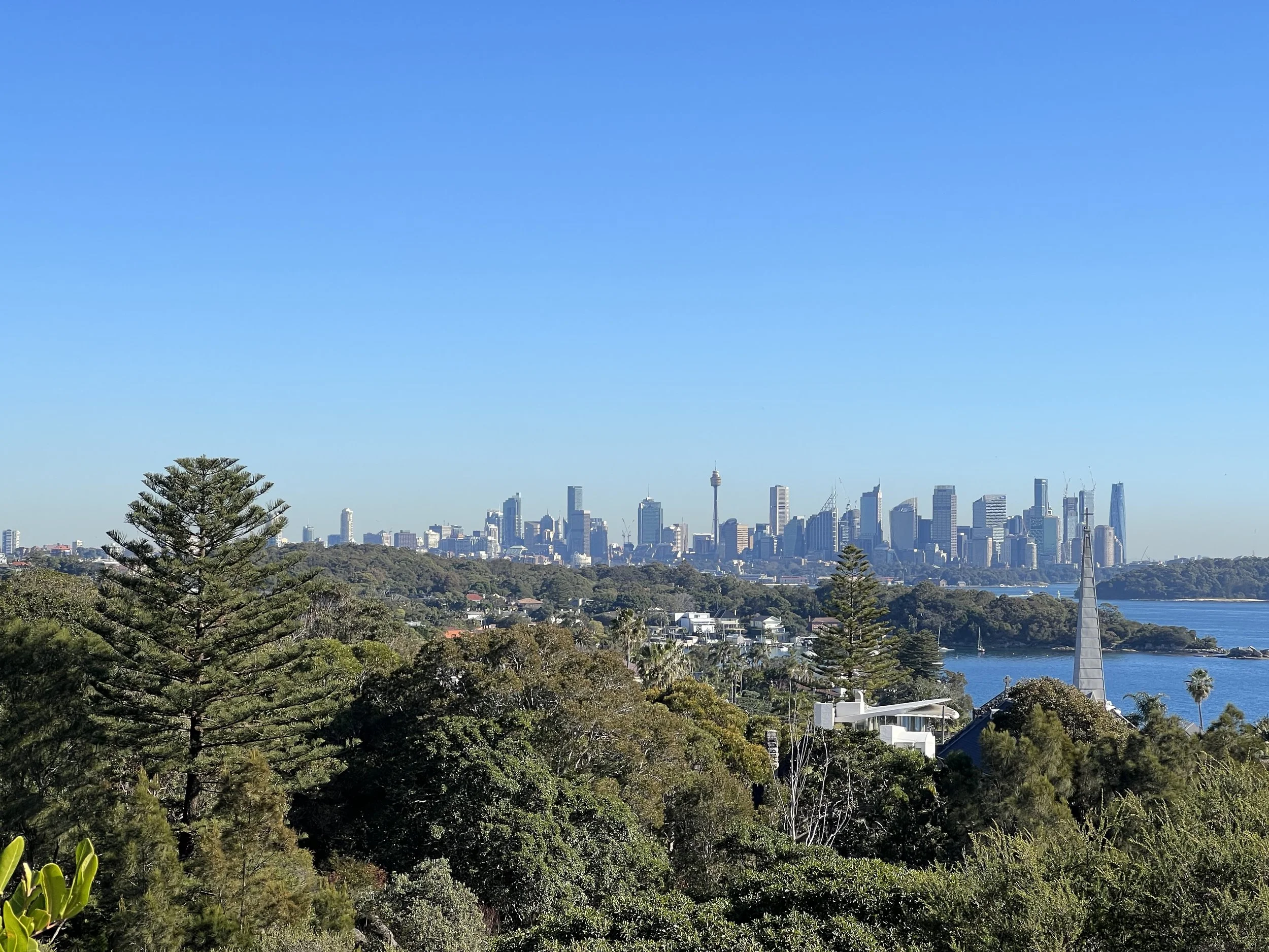
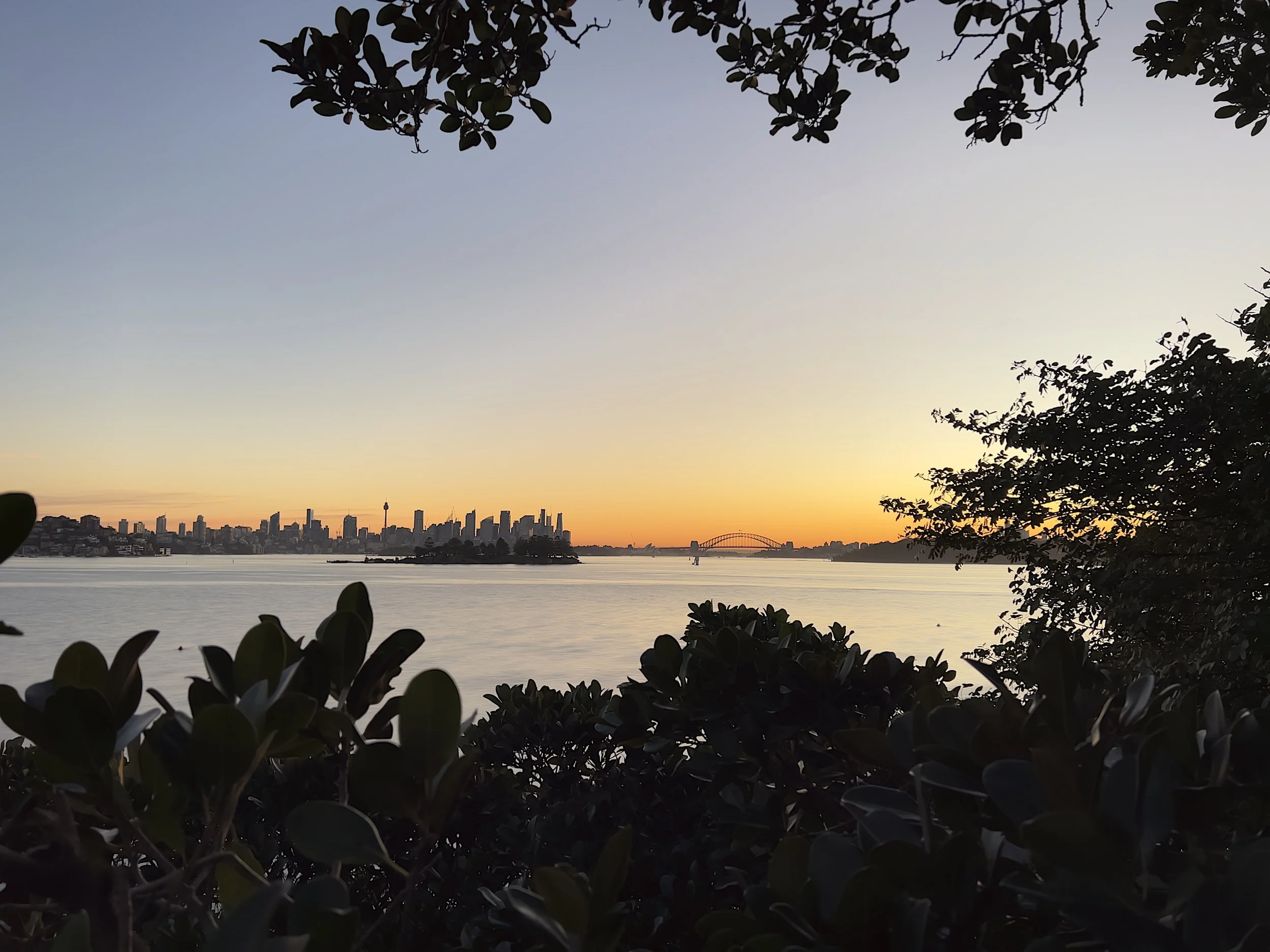
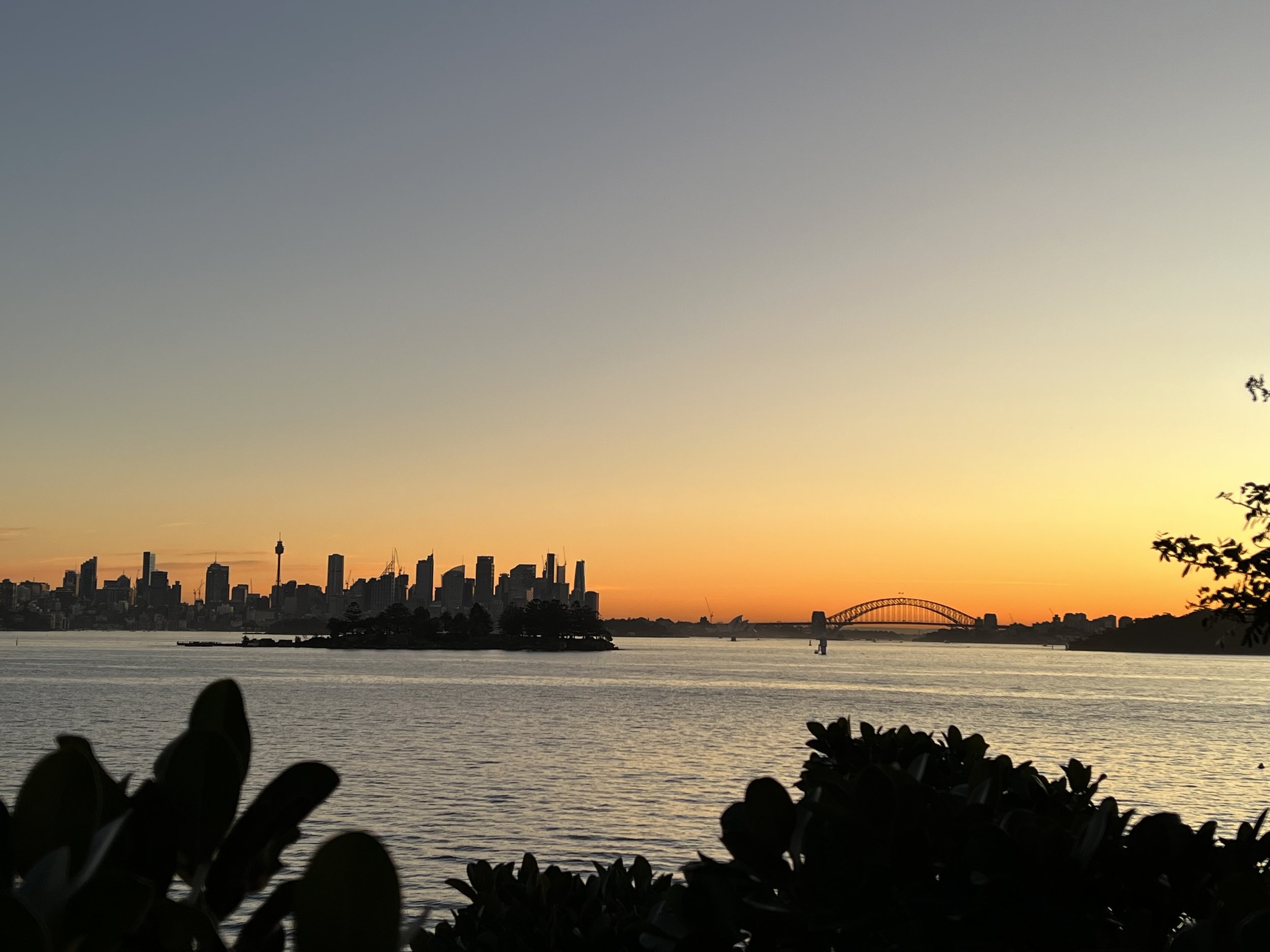
I arrived at my sunset viewpoint a little early and took time to simply enjoy the moment. Looking through the trees, the Sydney Harbour Bridge and city skyline framed the horizon beautifully. As the sun dipped, the sky transitioned from warm orange to pinkish hues, creating a magical atmosphere. By the time I left, darkness had settled, and finding the bus stop proved a little tricky, as the streets weren’t well lit.
History & Background
Sydney Harbour National Park, established in 1975, protects the natural and cultural heritage of one of the world’s most iconic harbours. South Head, positioned at the harbour’s entrance, has a rich Aboriginal history, with evidence of thousands of years of fishing, ceremonial activities, and deep connection to the land. As part of the wider harbour landscape, South Head is closely linked with North Head and Middle Head, which together form a series of culturally significant headlands shaped by both Indigenous presence and later military history.
During the colonial period, European settlers recognised South Head’s strategic importance, constructing military fortifications and lighthouses—including Macquarie Lighthouse and Hornby Lighthouse—to guide ships safely into the harbour. Historic estates and homes such as Strickland Estate further reflect Sydney’s colonial and Victorian heritage.
Over time, South Head evolved into a popular recreational area, but its layered past remains visible in the built heritage, cultural landscapes, and preserved sites. Today, visitors can explore historic fortifications, heritage buildings, and Aboriginal sites while enjoying panoramic harbour views, offering a blend of natural beauty and deep historical significance.
Getting There
From Sydney CBD, the South Head Coastal Walk is easily accessible by public transport. From Circular Quay or Wynyard stations, you can catch a bus heading toward Watsons Bay or Diamond Bay, with the journey taking approximately 30–40 minutes depending on traffic. If you’re coming from Bondi Beach, direct buses also run toward Diamond Bay, which is the most common starting point for the walk. The bus drops you close to the trailhead, making it convenient for walkers with minimal walking before the actual trail. For those driving, limited street parking is available near Diamond Bay and Gap Park, though taking public transport is recommended for the easiest access and stress-free start to your walk.
Route Overview
Distance: 11.42 km (Military Road → Hermit Beach)
Total elevation gain: 159 m
Duration: 1 hr 53 min (with breaks 2 hr 55 min)
Difficulty: Easy
Cost Breakdown
Bus: Bondi Beach → Military Rd at Oceanview Ave — AU$3.14
Food: AU$22