Mount Yokoyama - Mie, Japan
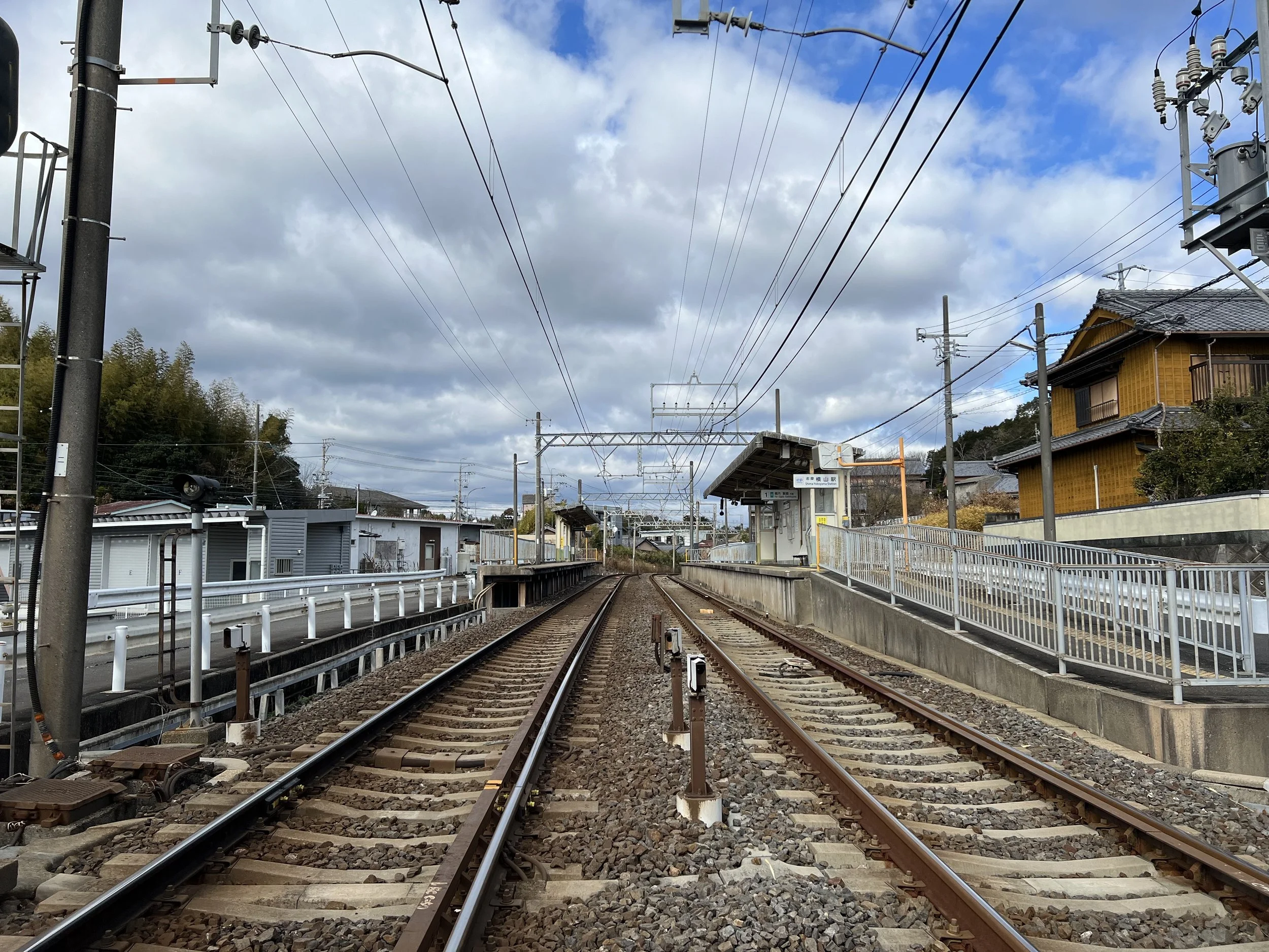
I first considered taking the boat around Ago Bay but chose to hike Mount Yokoyama (203m) instead as you can’t see the islands of Ago Bay that clearly while you are on the boat. The closest public transport is Shima-Yokoyama Station, about a 30-minute walk from the trailhead.
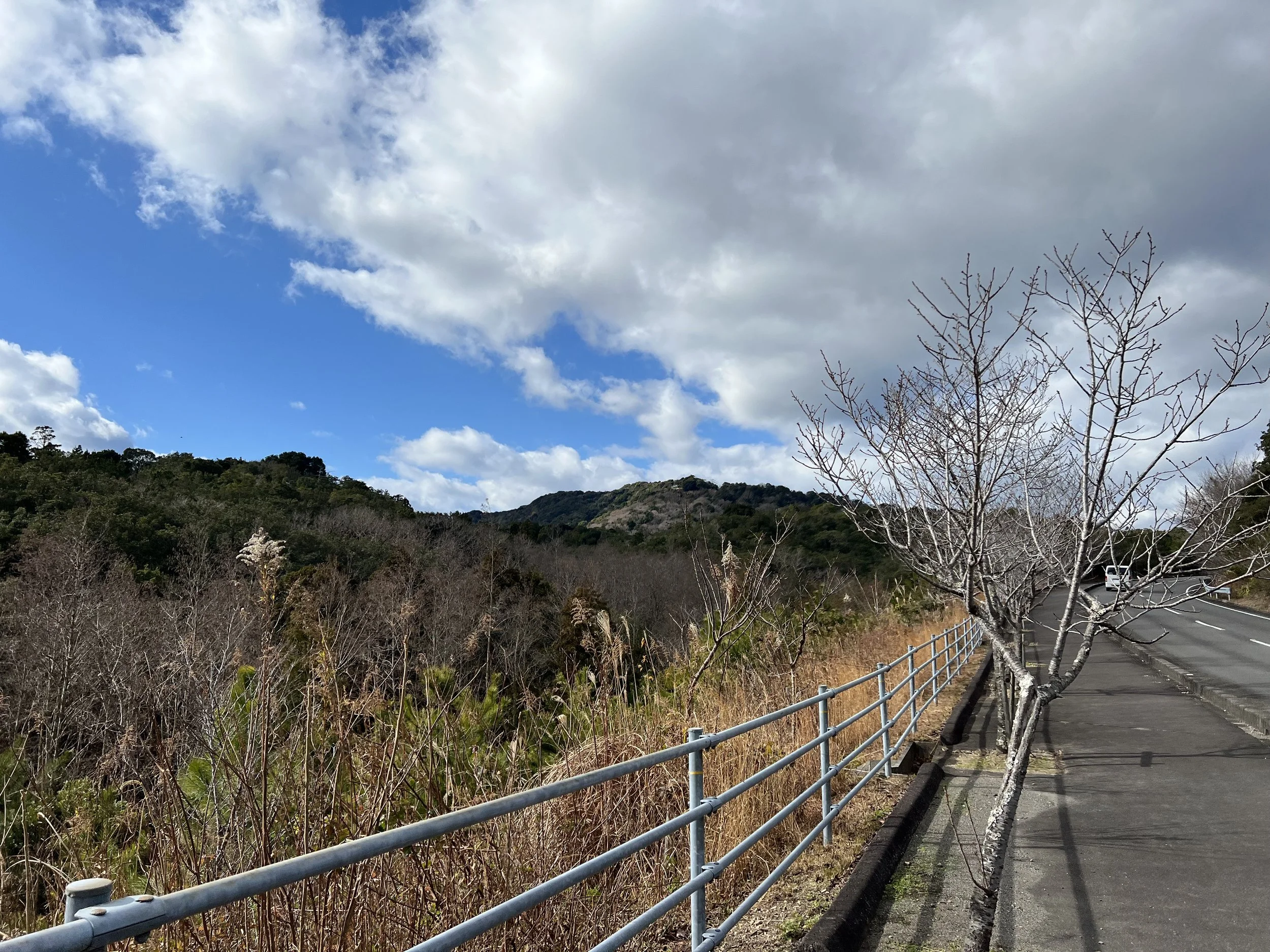
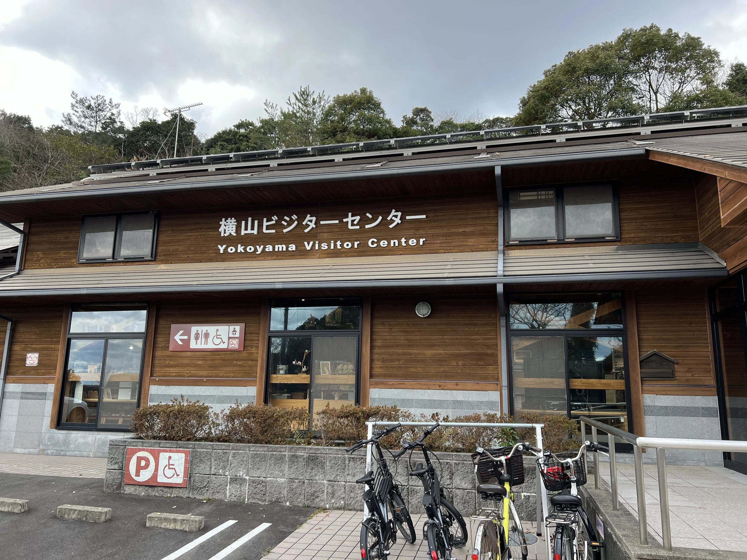
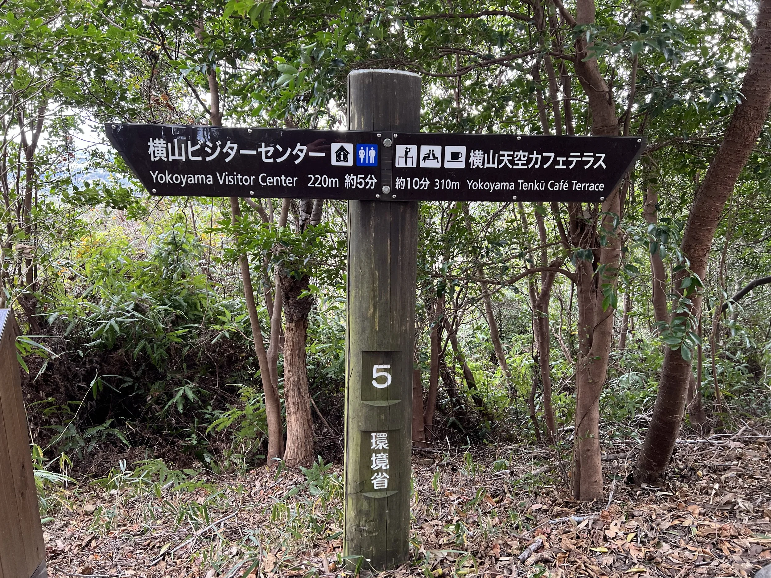
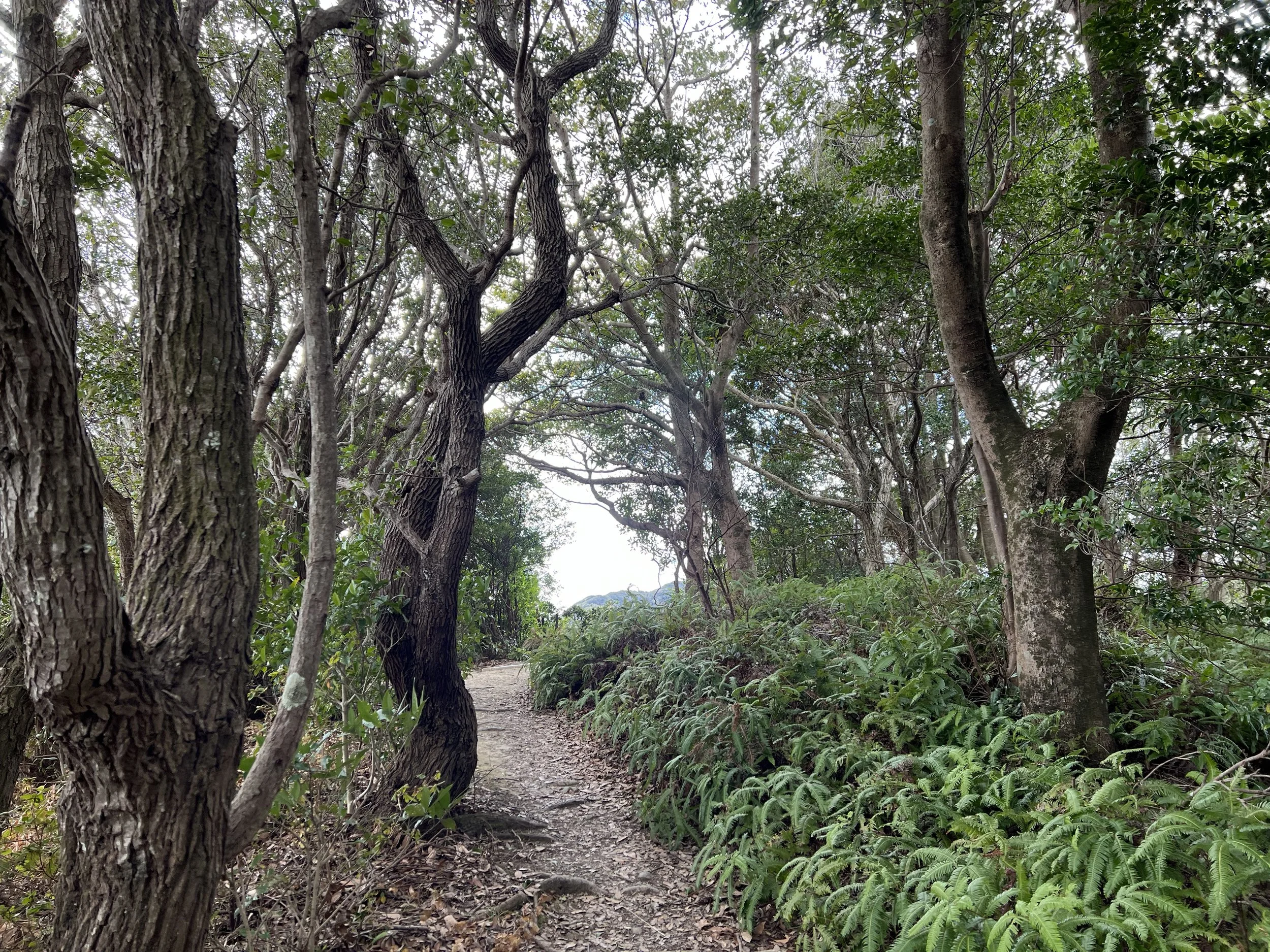
The walk to the trailhead follows a paved sidewalk along the mountain road, offering nice views of trees and hills. At the entrance, there’s a visitor centre with informative displays and restrooms.
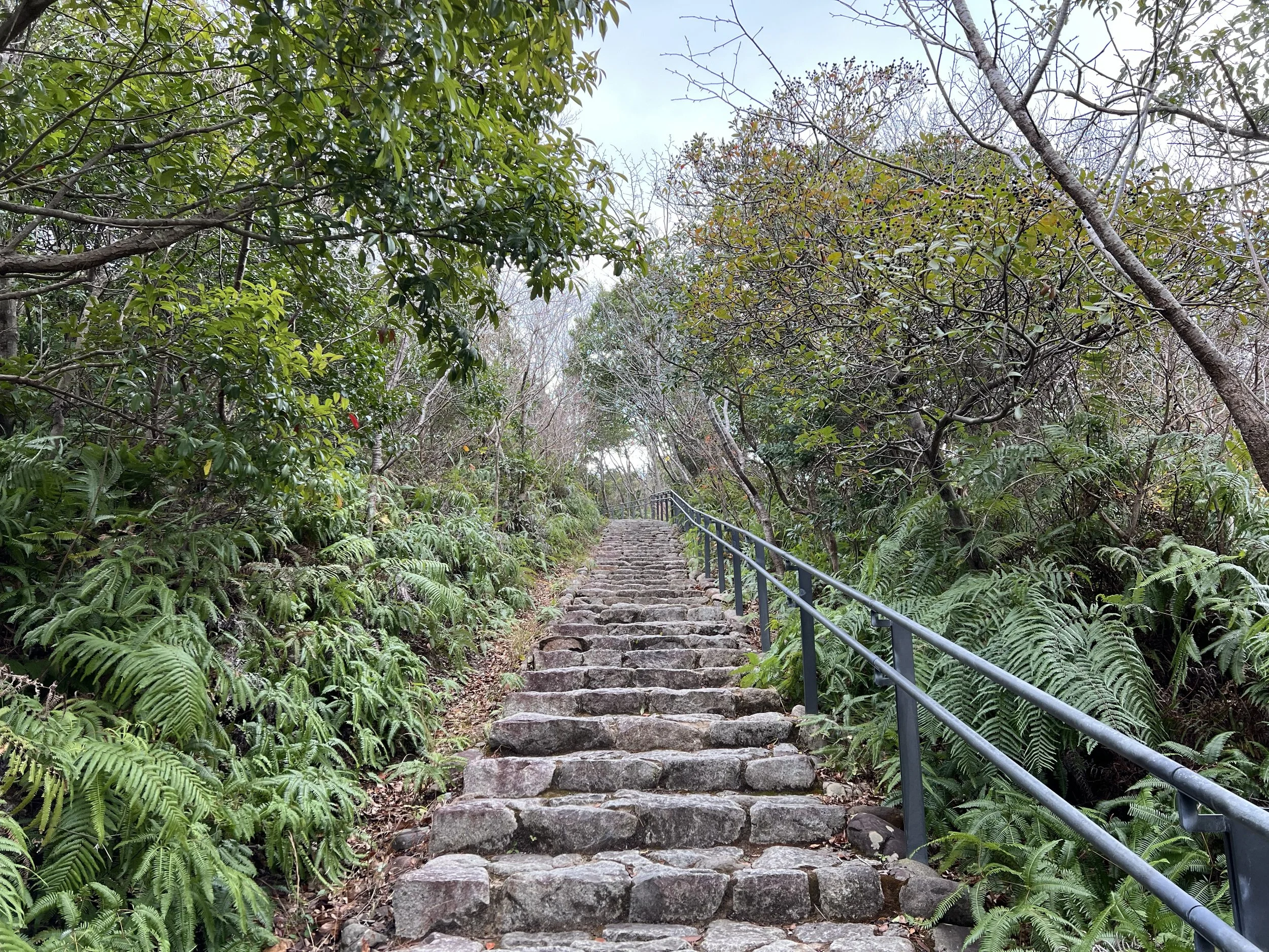
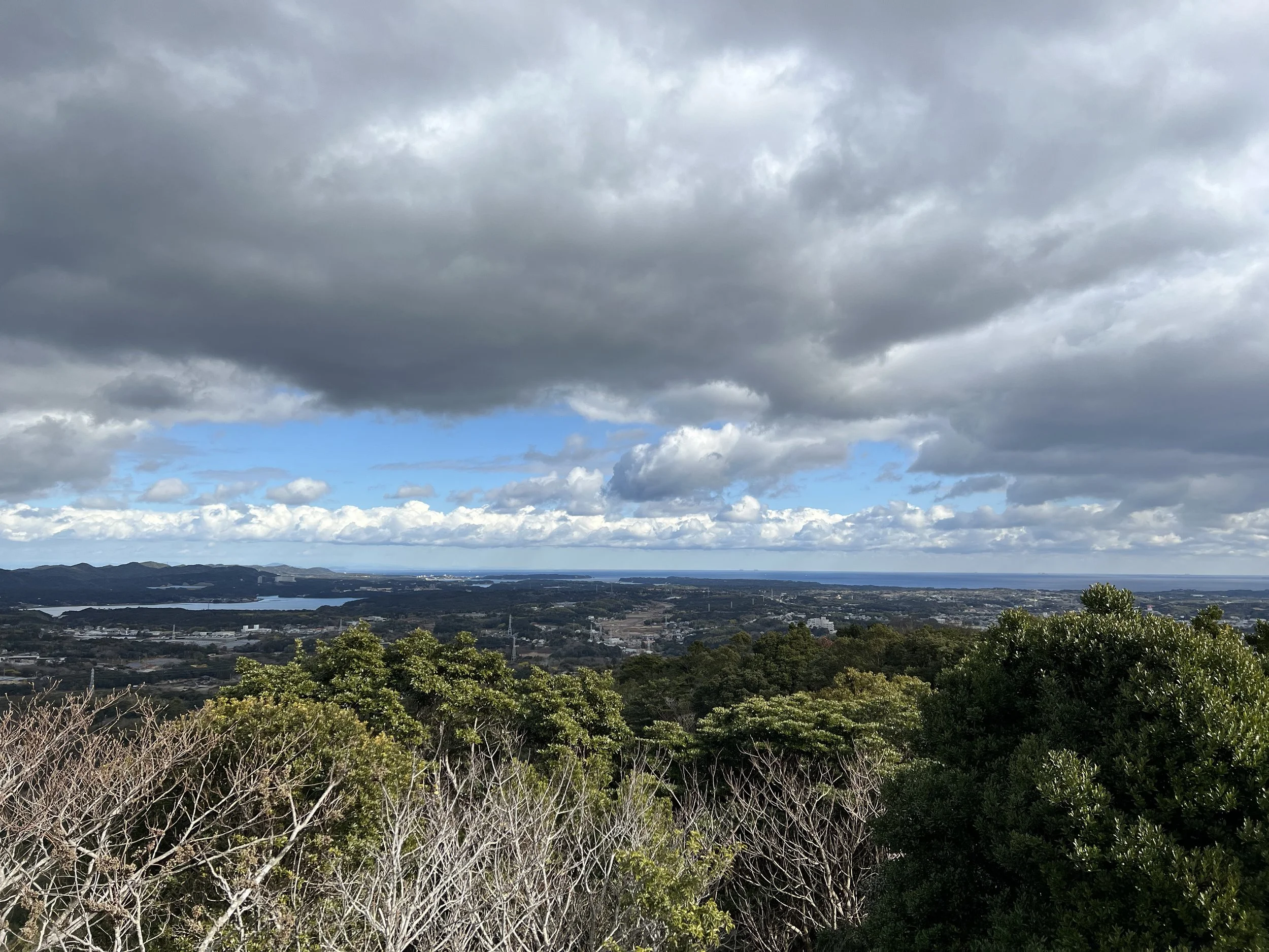
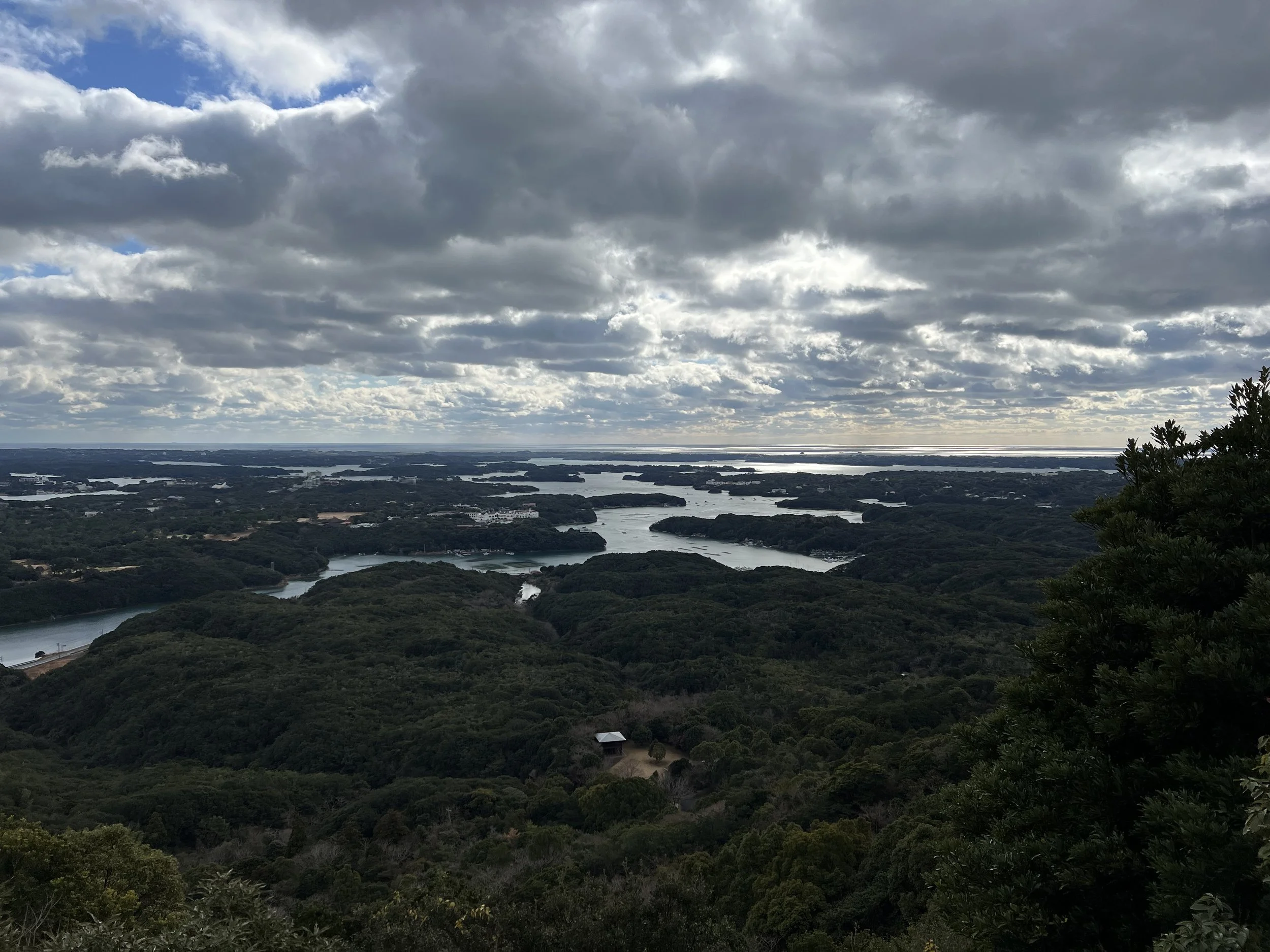
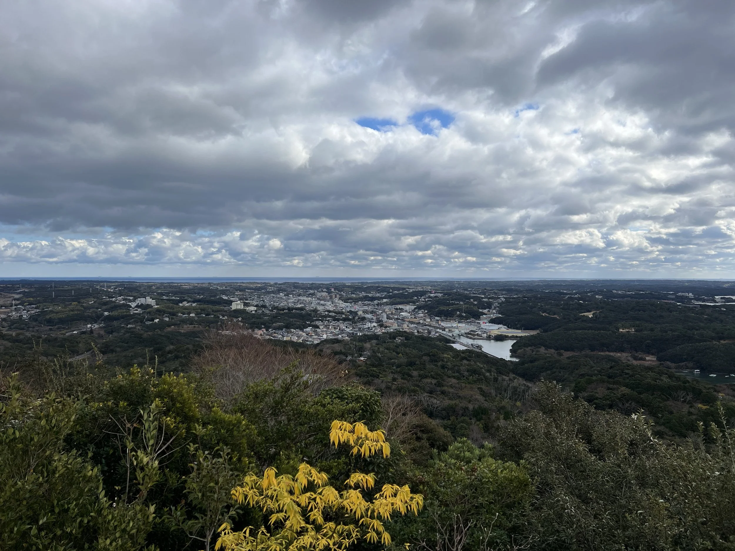
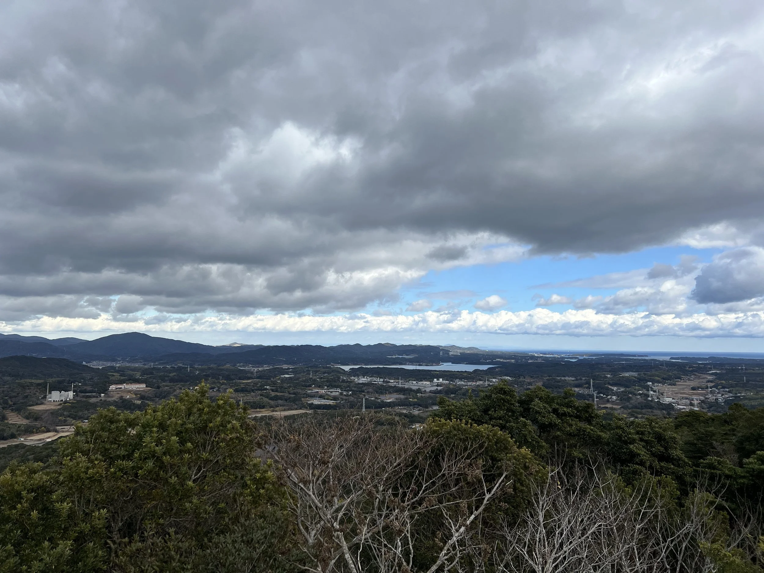
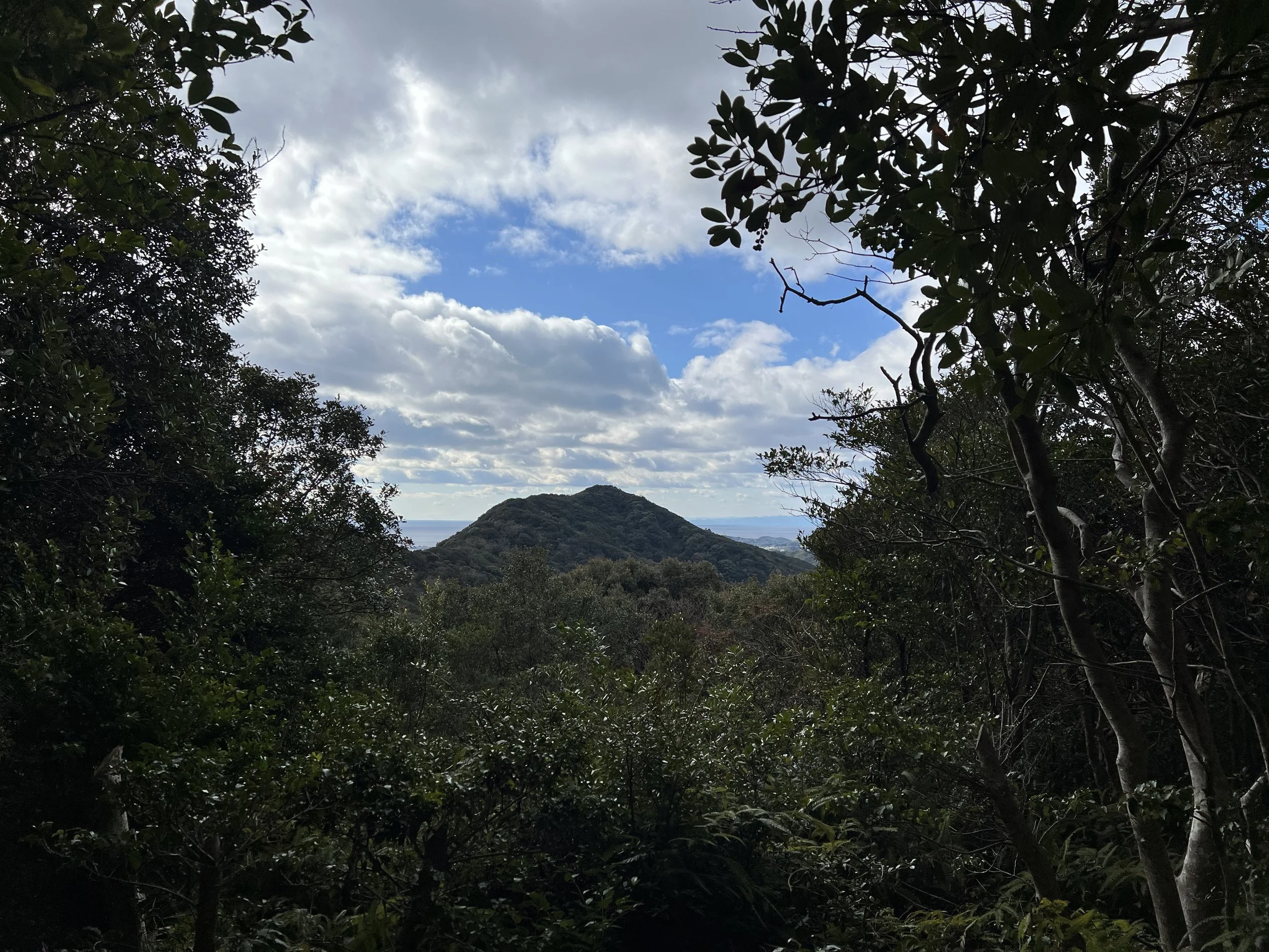
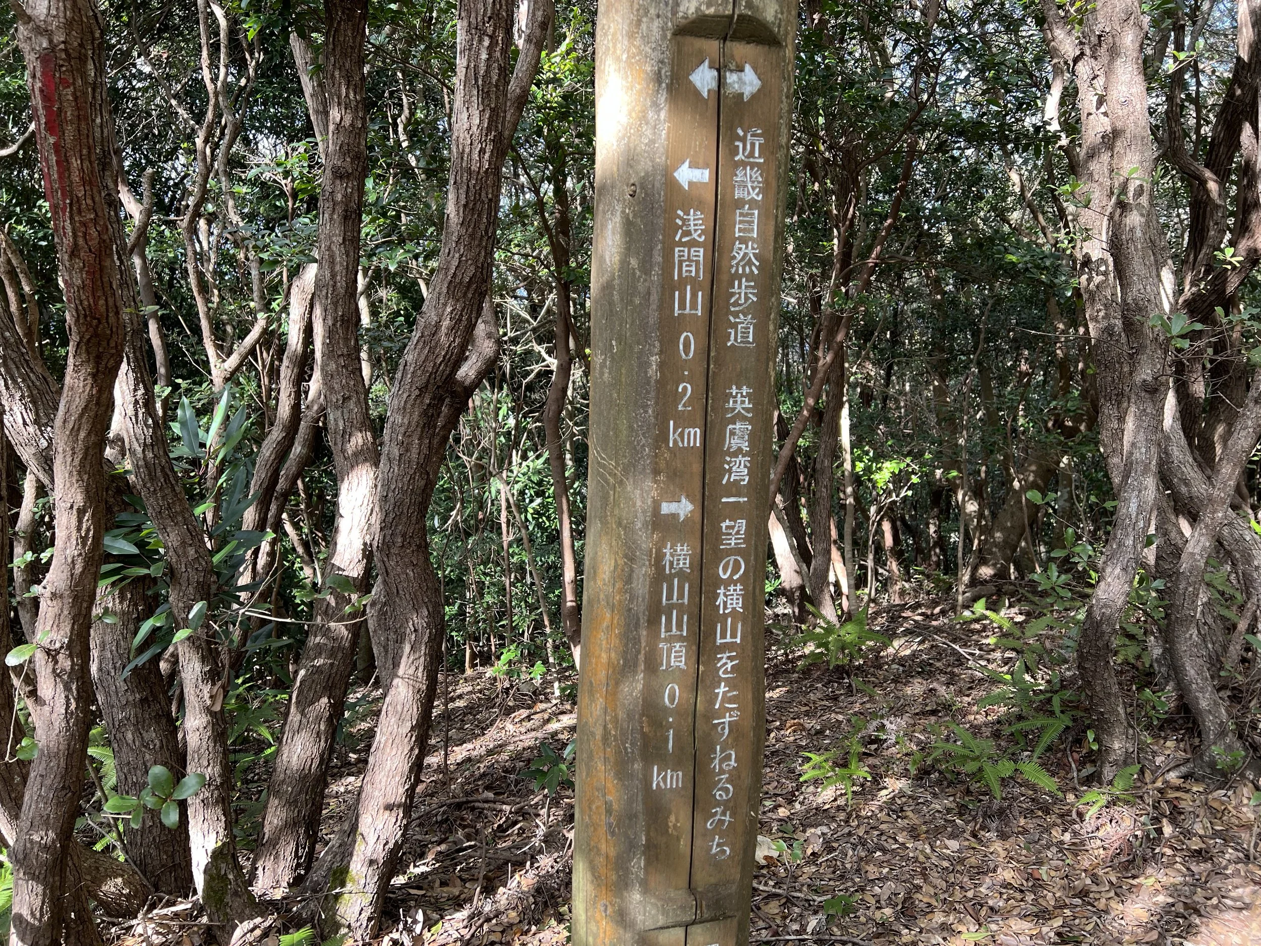
The trail starts with short stone steps leading to the first viewpoint and a nearby café parking lot. This is where most visitors stop since the view is great and easily accessible. I continued further up to more viewpoints. One mid-way spot offers views of Mt. Fuji, but it was too cloudy to see it that day.
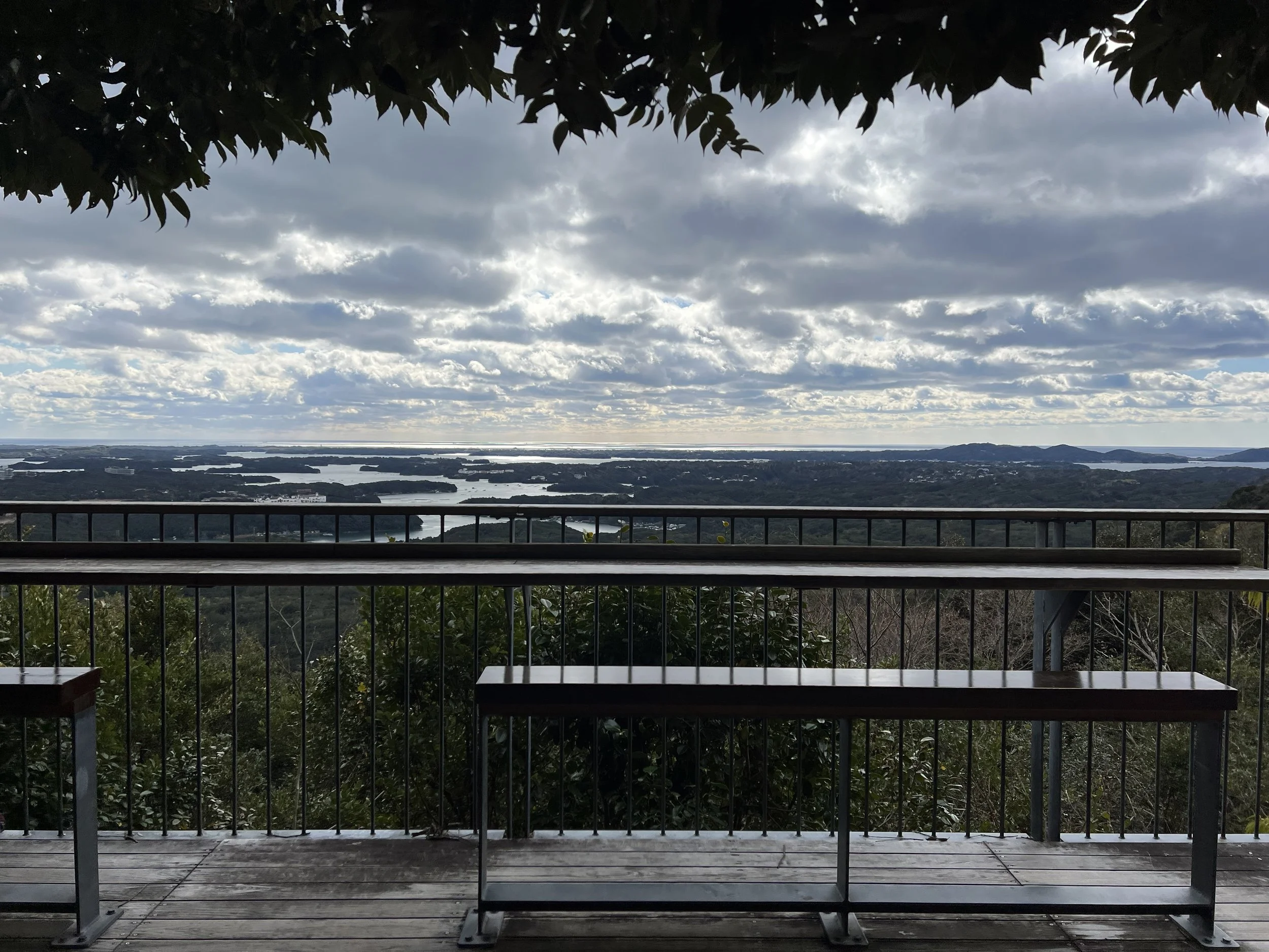
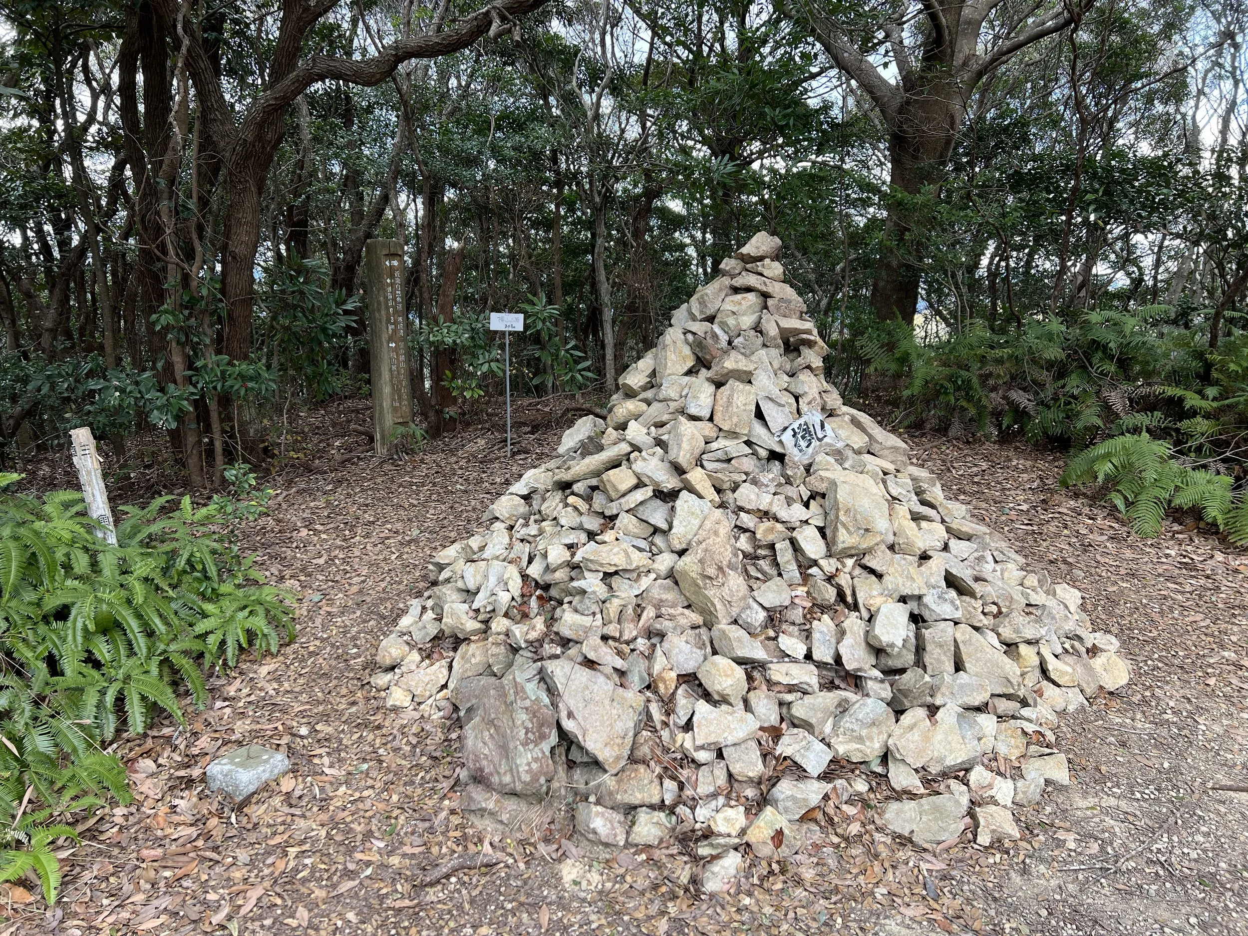
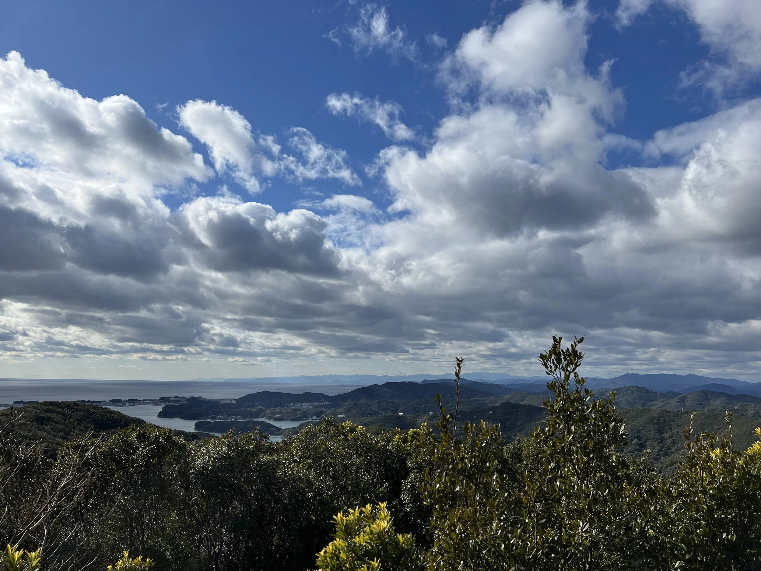
The summit itself is marked by a stone pile and has no views, so I went on to the final Ago Bay viewpoint a few hundred meters ahead. It was peaceful and quiet — I had the whole platform to myself for a snack break.
Overall, the hike is easy and offers beautiful views of Ago Bay, but without a car, the walk from the nearest station can be a bit long.
Route Overview
Distance: 9.09 km out & back (Shima-Yokoyama Station)
Total elevation gain: 346 m
Duration: 2 hr 1 min (with breaks 2 hr 12 min)
Difficulty: Intermediate
Peak: Mt Yokoyama 横山 203m
Cost Breakdown
Train: Ujiyamada Station → Shima-Yokoyama Station — ¥710