Cape Hedo - Okinawa, Japan
One of the main reasons I wanted to visit Cape Hedo was simple: it is the northernmost point of Okinawa’s main island. Somehow, that alone felt like a worthy destination. There is something satisfying about standing at the very edge of a place, knowing there is no more land beyond you. The drive itself made the journey feel even more intentional. This part of Okinawa is sparsely populated, with long stretches of forested hills, winding coastal roads, and very few buildings in sight. It felt remote and quiet, a stark contrast to the busier areas further south.
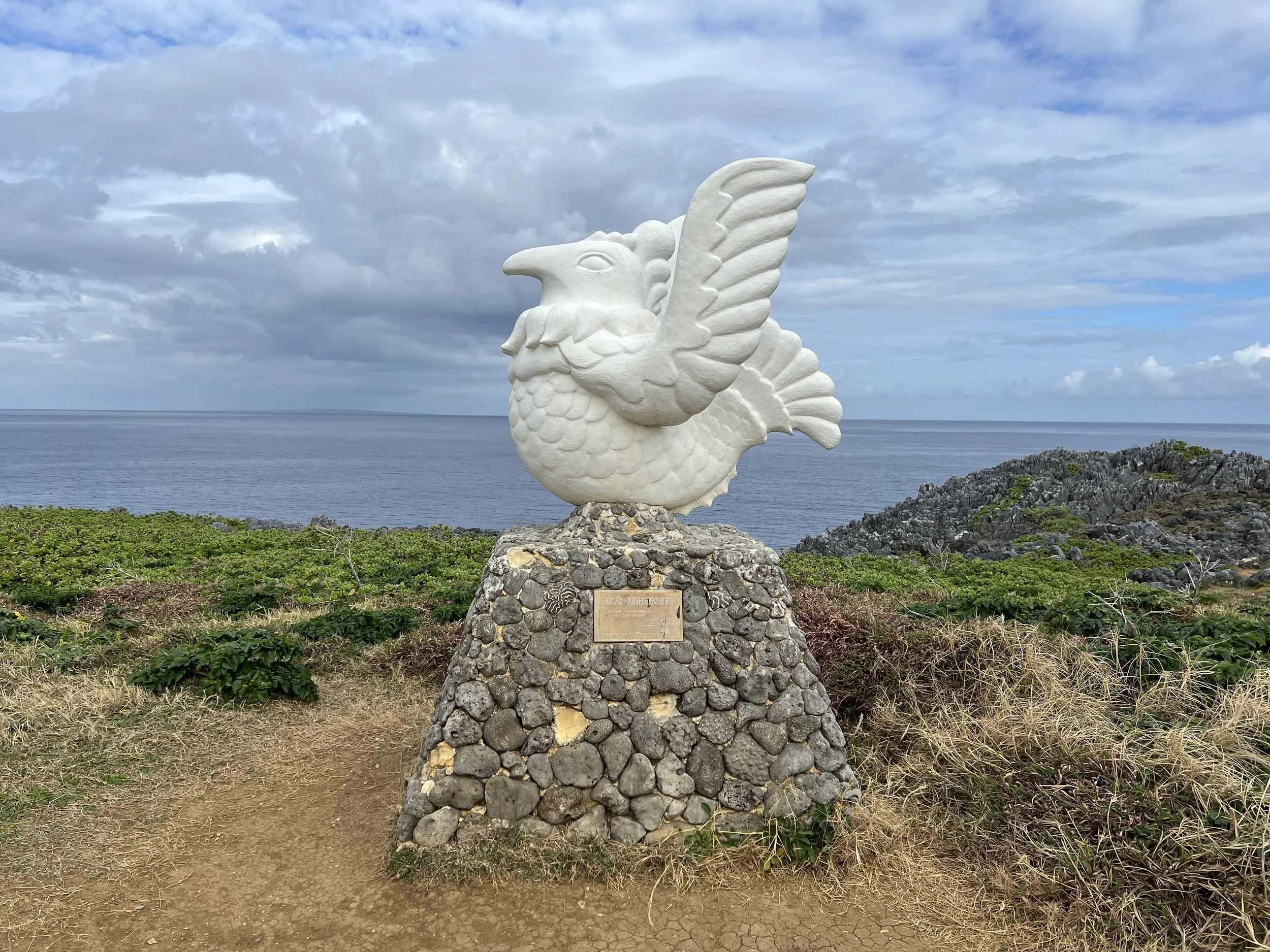
When I arrived, I was surprised to see more visitors here compared to the other capes I had explored, though the parking lot still felt relatively empty. I found a spot near the tourist information building and made my way toward the walking trails. Not far from the entrance, I came across a large chicken statue, which completely caught me off guard. It felt so random against the dramatic coastal backdrop. Later, I learned that the statue symbolizes friendship between Okinawa and neighboring Yoron Island. Quite a few people were lining up to take photos with it, and I joined in. It was such an unexpected and slightly quirky sight, which made the moment even more memorable.
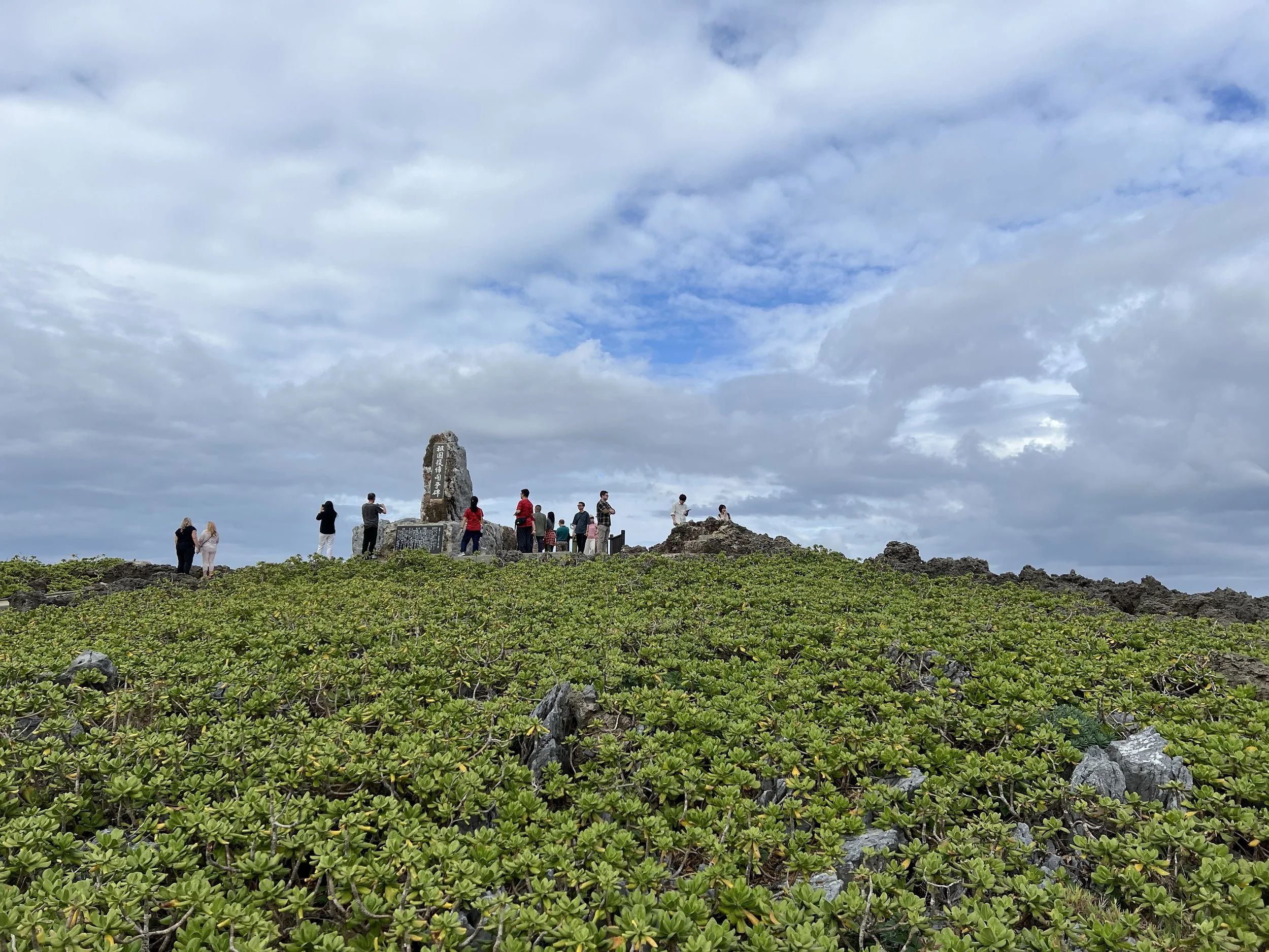
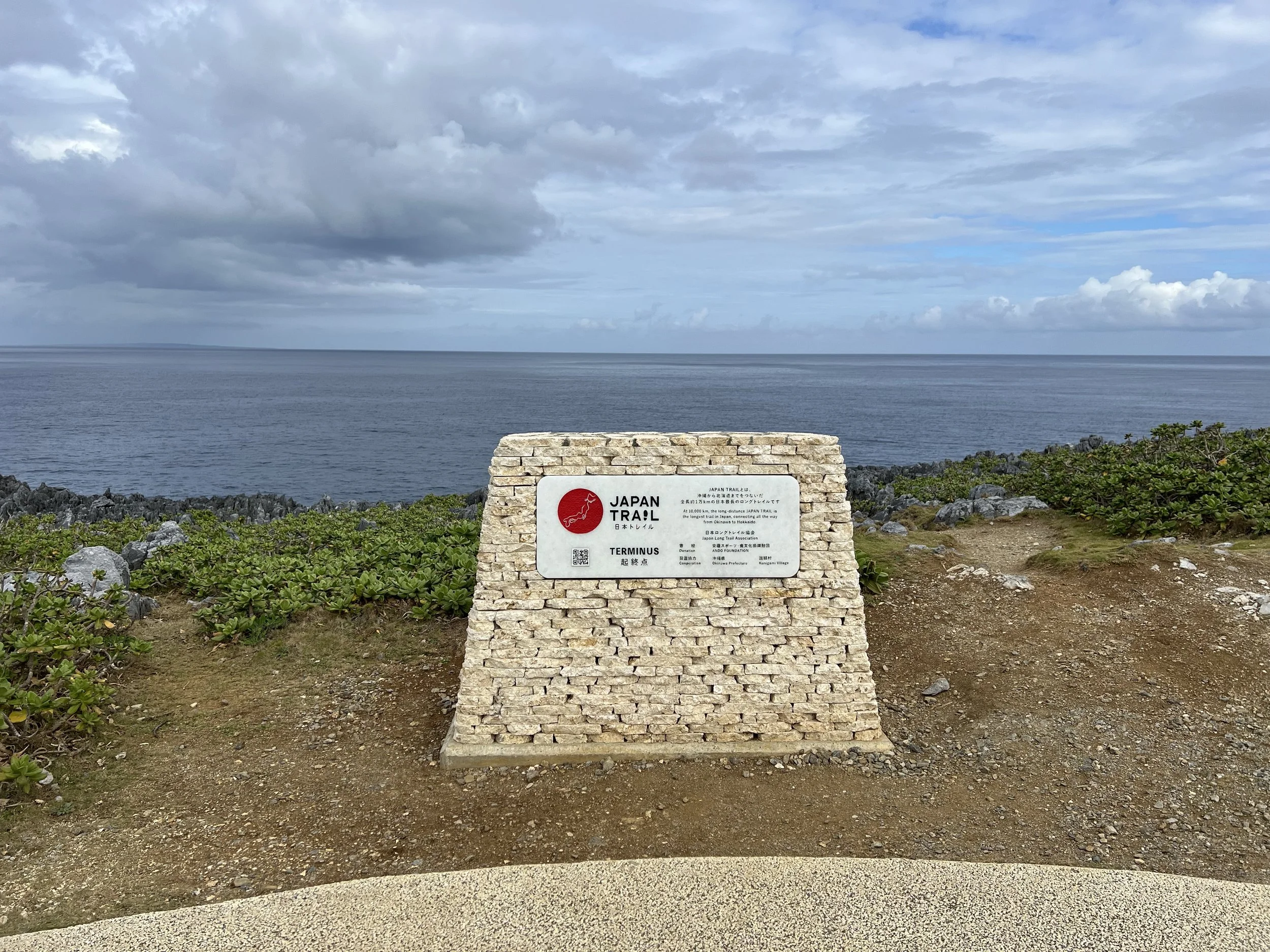
As I continued walking, I came across the official starting point of the Japan Trail. The Japan Trail is a nationwide long-distance walking route that connects existing trails across the country. Having walked portions of well-known routes on mainland Japan, including the Kumano Kodo, Nakasendo, and the Shikoku Henro pilgrimage, it felt special to stand at this symbolic beginning point. Even though I wasn’t embarking on the full trail from here, it added a deeper layer of meaning to the visit.
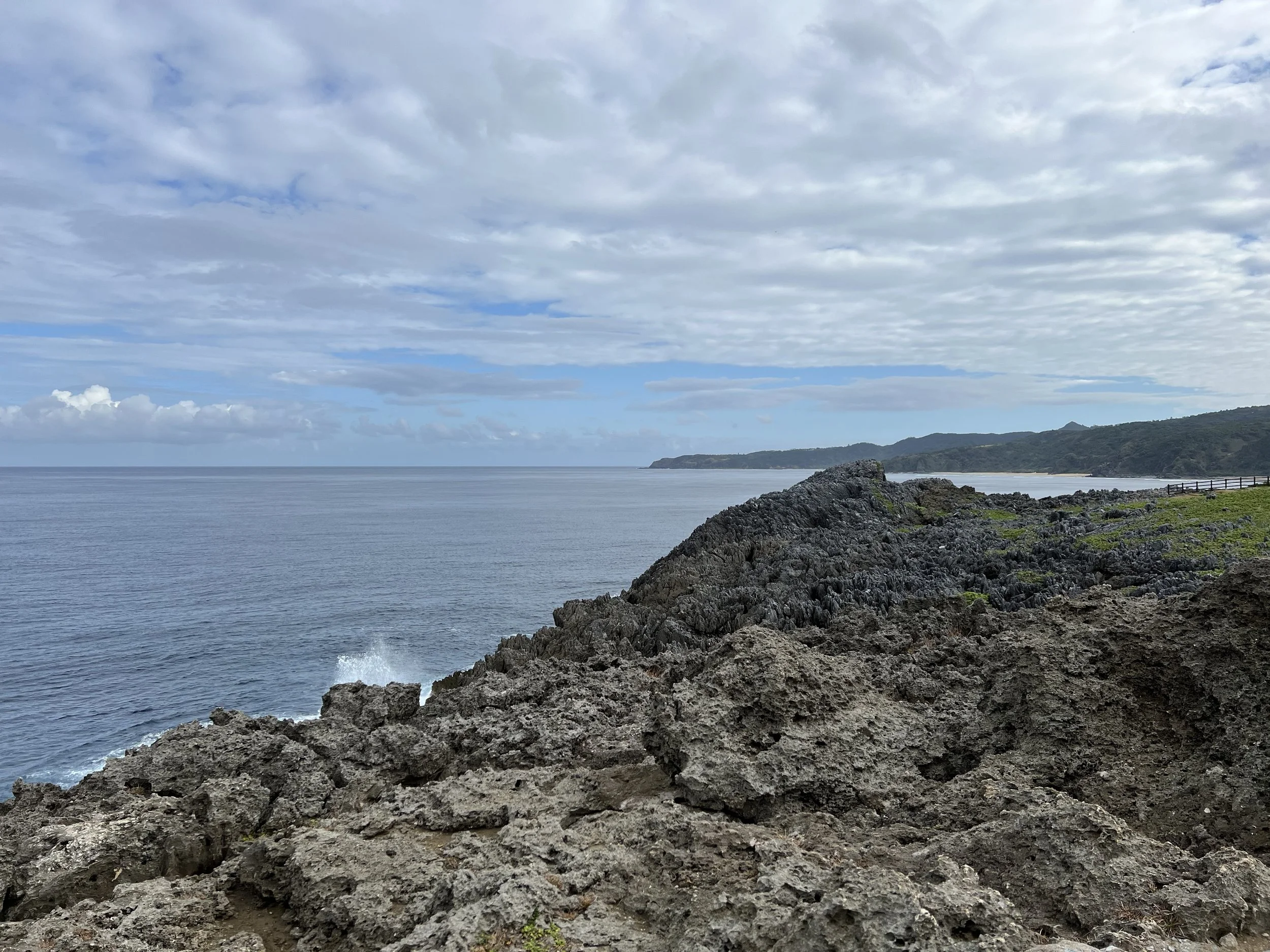
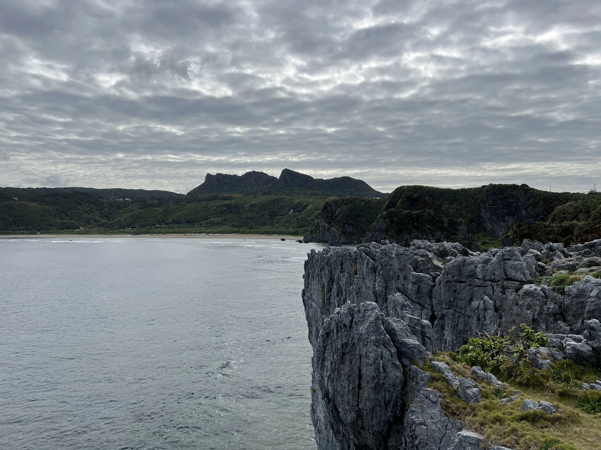
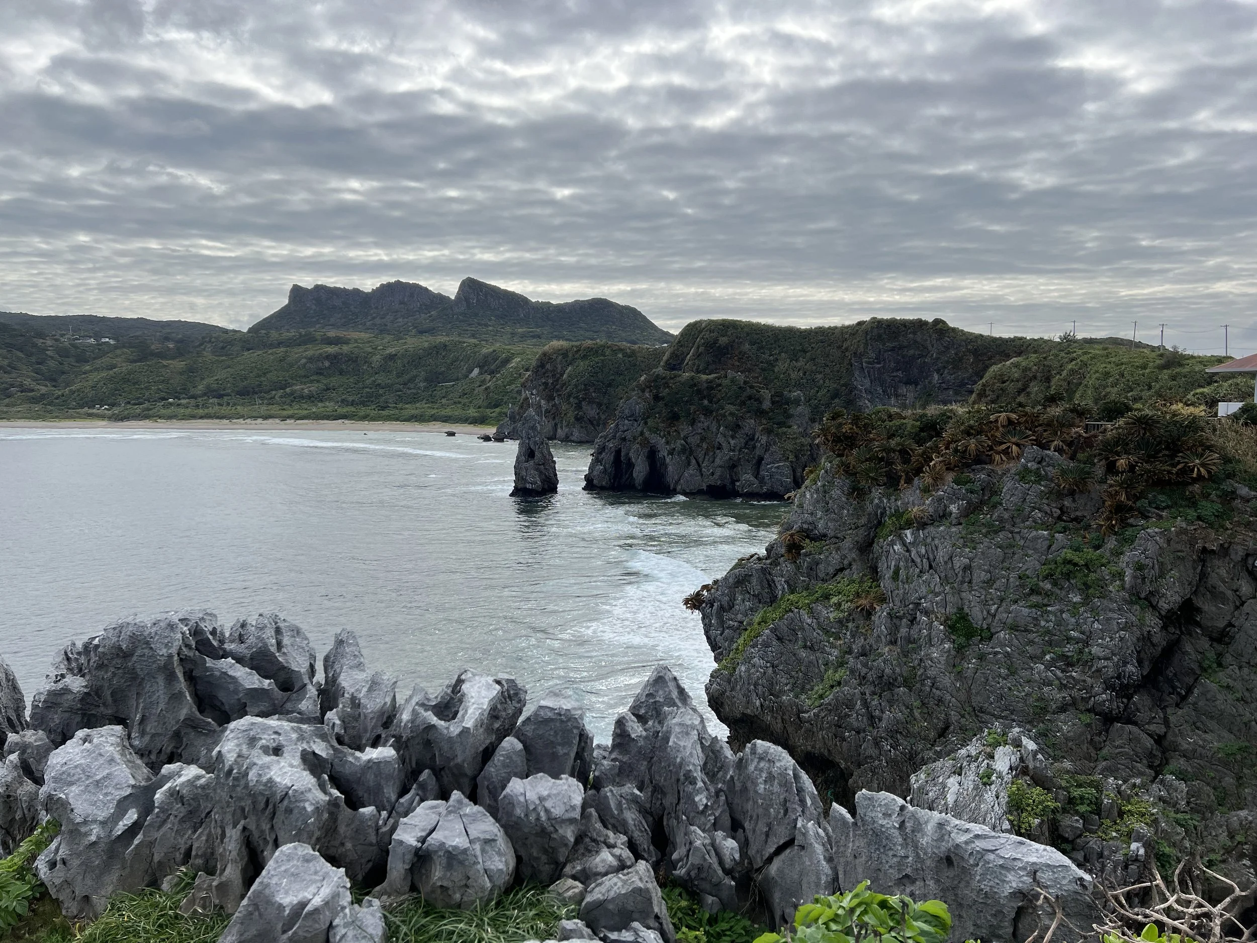
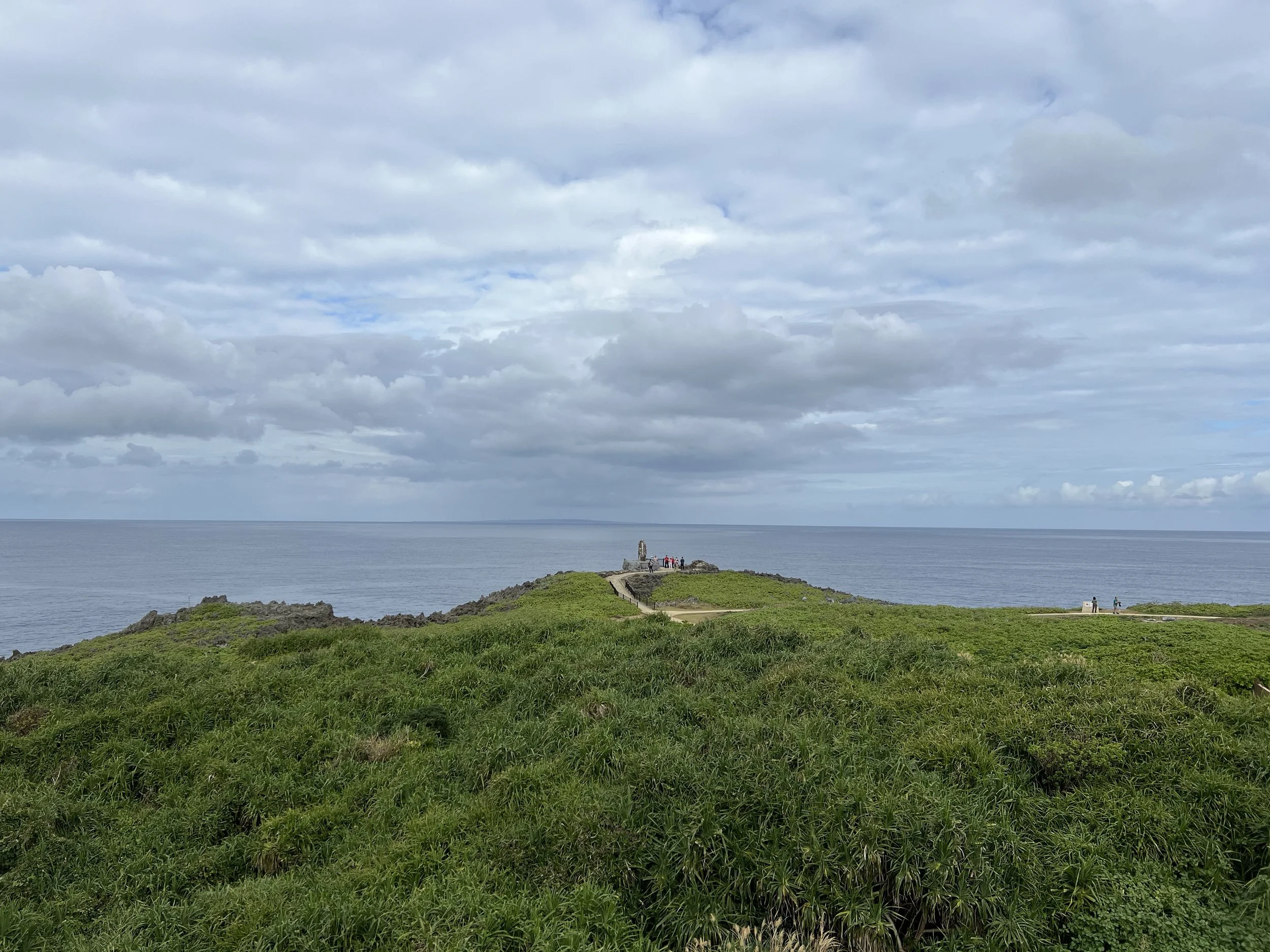
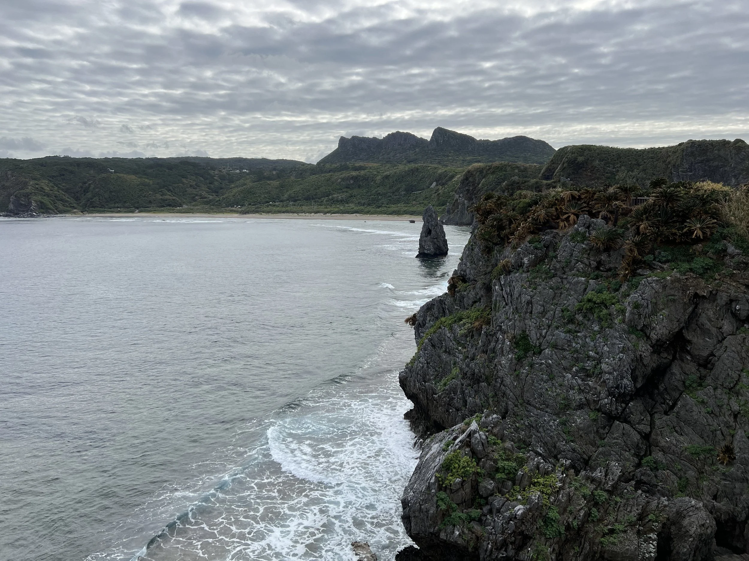
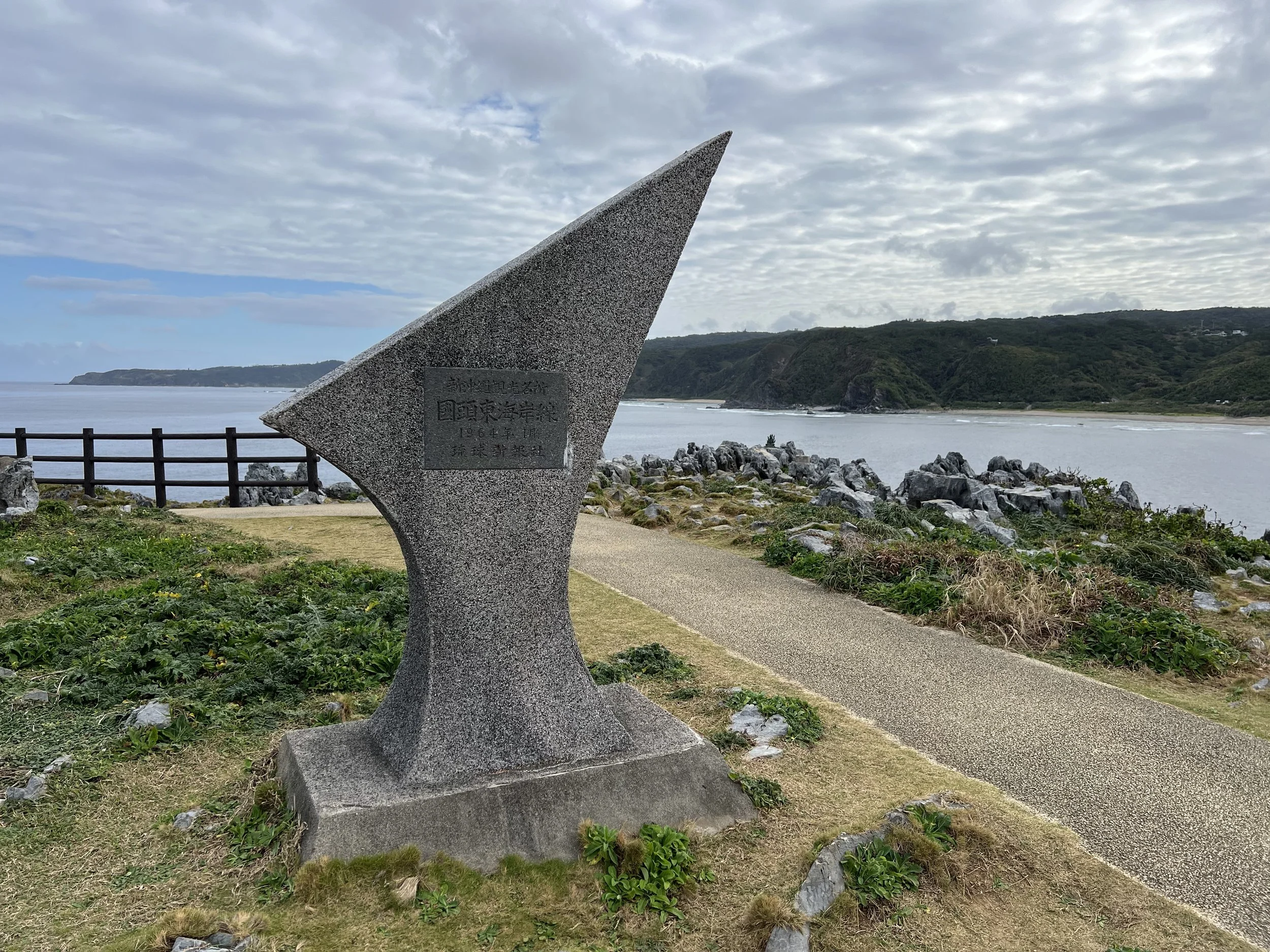
The walking paths around Cape Hedo are short and easy, but the scenery is expansive. Sweeping ocean views stretch endlessly into the horizon, and the rugged cliffs drop dramatically into the sea below. The rock formations along the coastline are striking, shaped by wind and waves over time. I slowly looped around the trails, stopping often to take in the scenery. At one point, I sat on a bench overlooking the ocean and simply stayed there for a while, letting the sound of the waves and the open space sink in. It felt peaceful in a way that only remote coastal landscapes can feel.
Before leaving, I went up to the rooftop of the tourist information building for a higher vantage point. The elevated perspective made the views even more impressive, offering a broader look at the cliffs and the endless blue beyond. I had hoped to stop by the café, but it had already closed by the time I arrived. Instead, I grabbed a drink from a vending machine and began the drive to my accommodation for the night.
Although Cape Hedo is quite out of the way, the journey felt completely worth it. There is a quiet sense of accomplishment in reaching the northernmost point of Okinawa’s main island. It may not require a strenuous hike or a challenging climb, but the distance and remoteness give it a feeling of significance. Standing there, looking out over the vast ocean, it felt like I had truly reached the edge of Okinawa.
History & Background
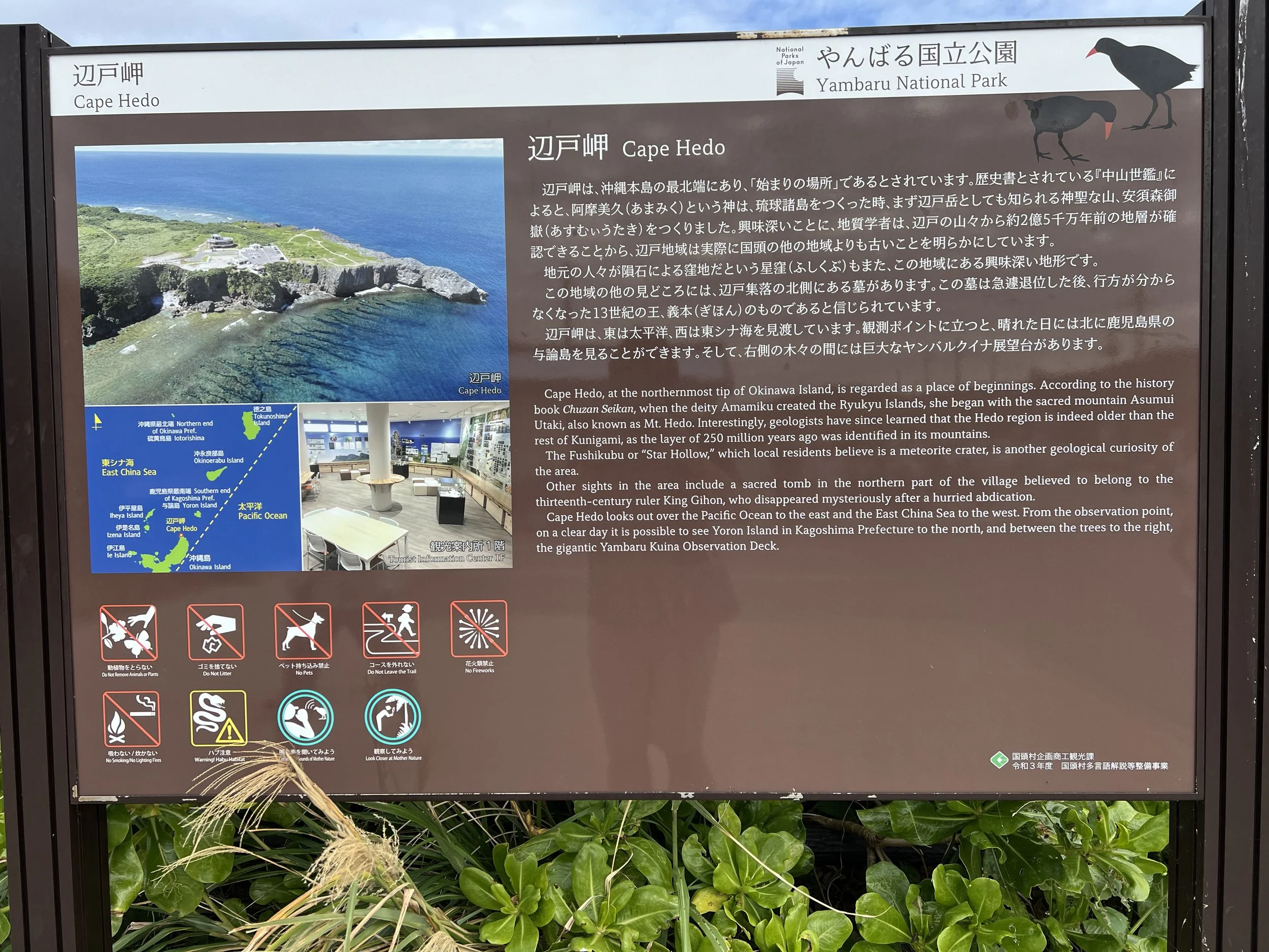
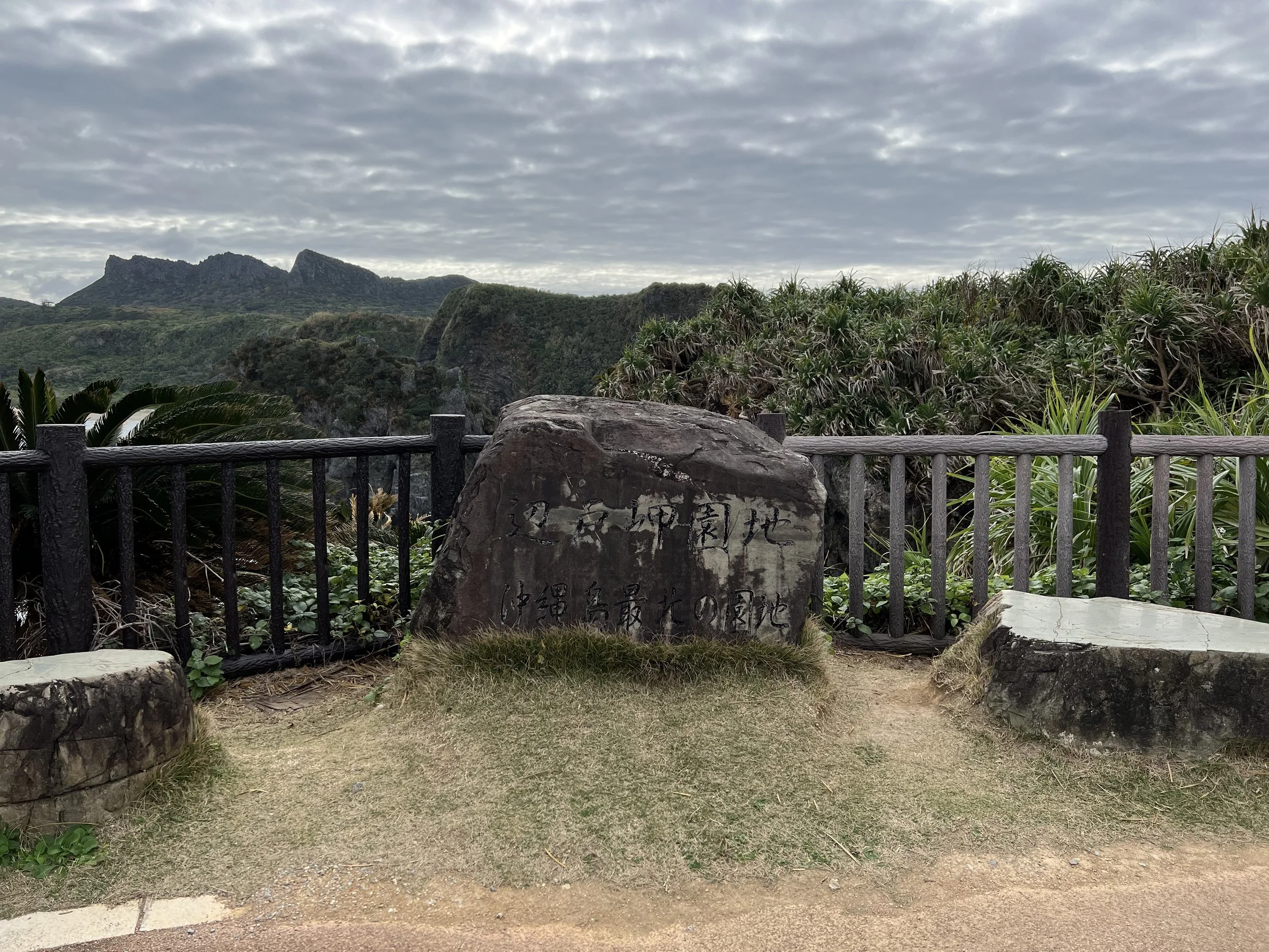
Cape Hedo (辺戸岬) has long held geographical and symbolic significance as the northernmost point of Okinawa’s main island. Historically, this remote area marked the edge of the Ryukyu Kingdom’s northern territory. On clear days, Yoron Island in Kagoshima Prefecture can be seen across the water, which is why the area became associated with cross-island friendship and exchange. The large chicken statue near the cape represents this bond between Okinawa and Yoron Island, serving as a slightly unexpected but meaningful monument of goodwill.
Beyond its symbolic value, Cape Hedo is also known for its dramatic coastal landscape. The cliffs and limestone formations that define the area were shaped over thousands of years by wind and ocean erosion. The cape is part of Okinawa’s Yanbaru region, a subtropical forest area recognized for its biodiversity and unique ecosystem. While many visitors come simply to stand at the northernmost point, the surrounding terrain and views give the area both natural and cultural depth.
Getting There
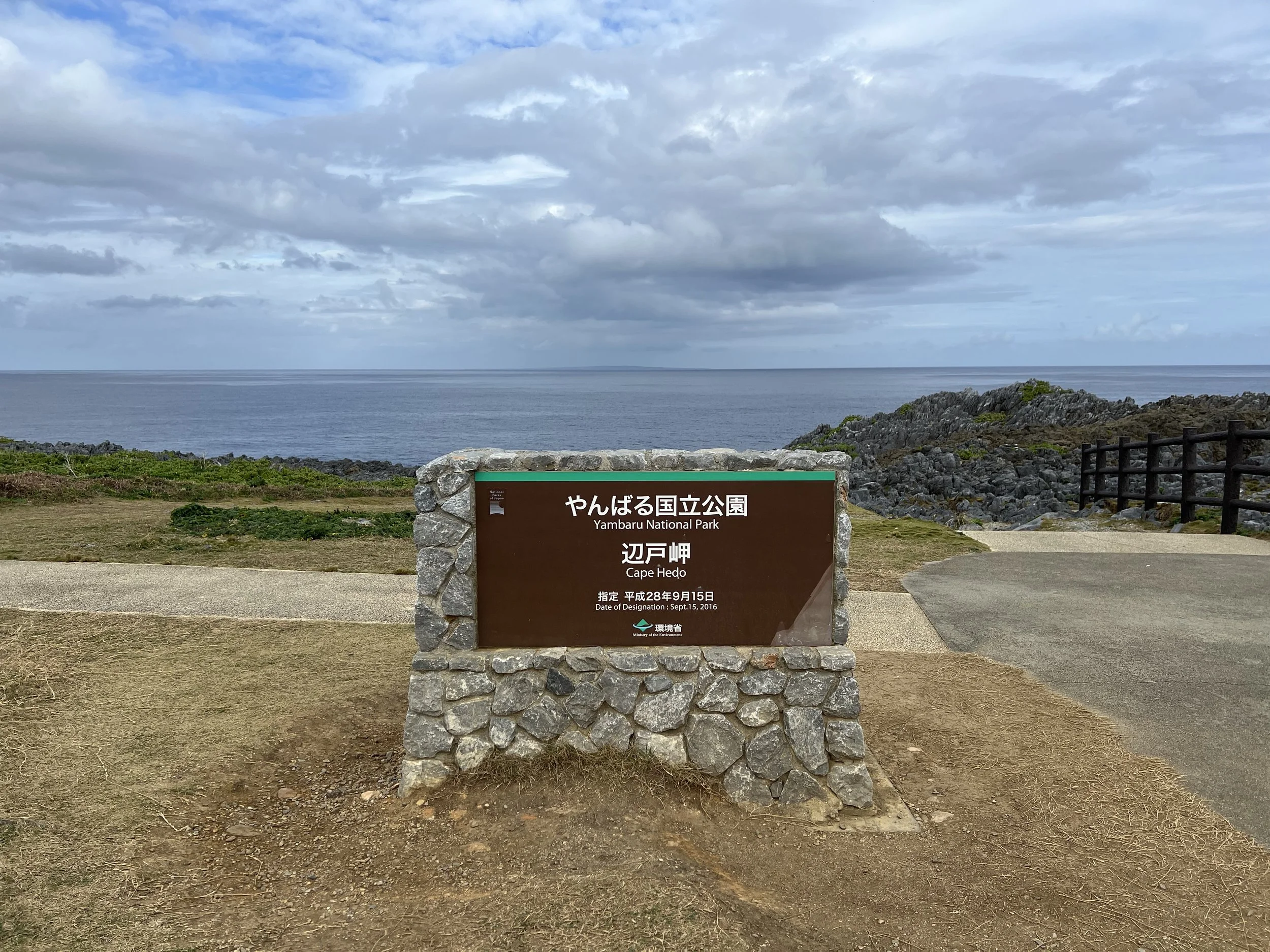
Cape Hedo is located in the far north of Okinawa’s main island, roughly a two-hour drive from Naha depending on traffic. The journey itself is scenic, with the road gradually transitioning from developed urban areas into forested hills and quieter coastal stretches as you head north. Public transportation options are limited and can be time-consuming, making a rental car the most convenient and flexible way to reach the cape. Parking is available near the Cape Hedo Tourist Information Centre, and from there, the walking trails and viewpoints are easily accessible within a few minutes on foot.
Route Overview
Distance: 1 km out & back (Cape Hedo Tourist Information Centre)
Total elevation gain: 2 m
Duration: 12 min (with breaks 30 min)
Difficulty: Easy
Cost Breakdown
Food: ¥200