Panoramadai - Yamanashi, Japan
Since I was spending three days in Fujikawaguchiko and planned to hike as much as possible to enjoy the different views of Mount Fuji, hiking to Panoramadai was a no-brainer. The trailhead was about a 50-minute bus ride from Kawaguchiko Station, and I took the first bus of the day.
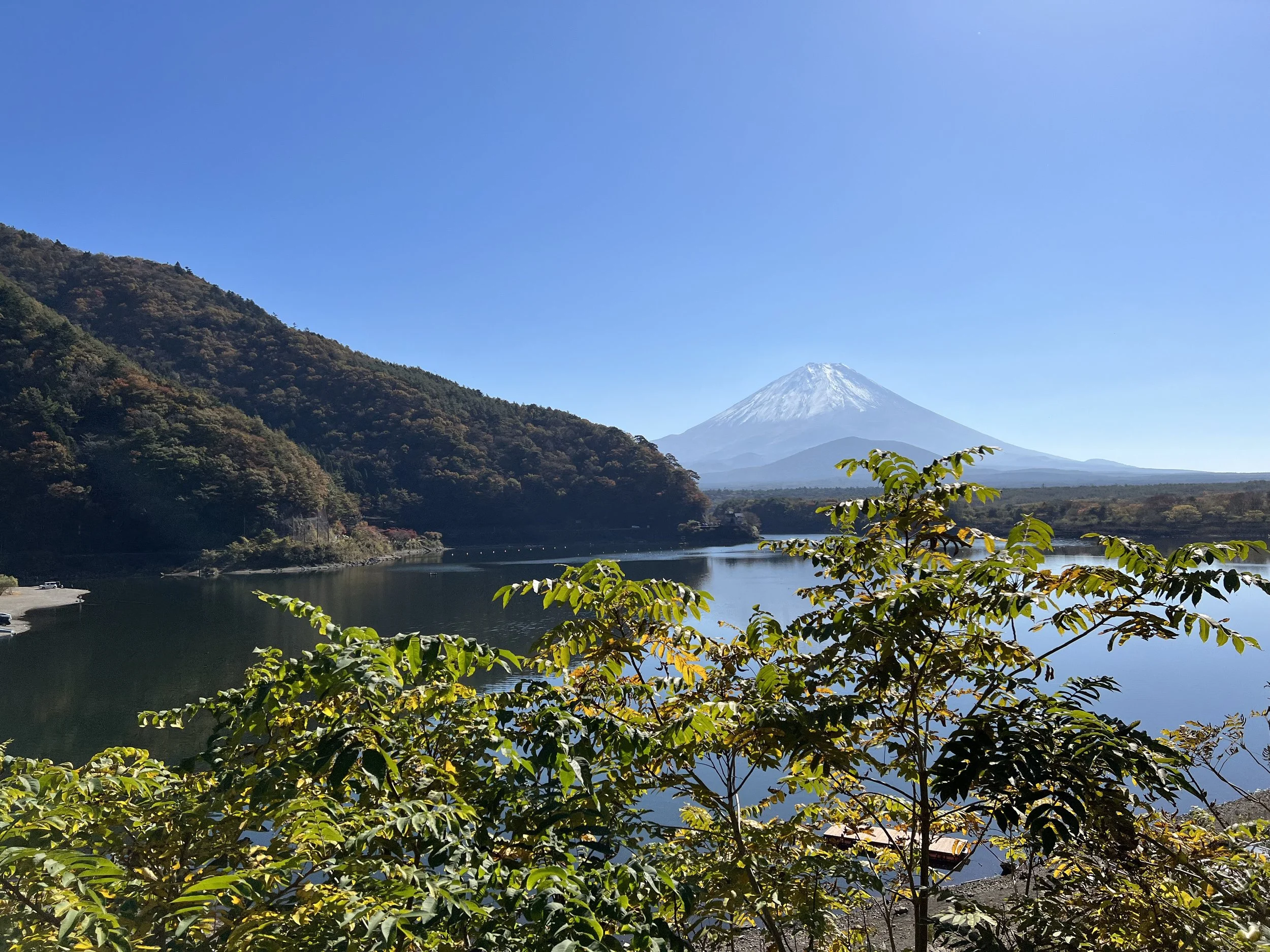
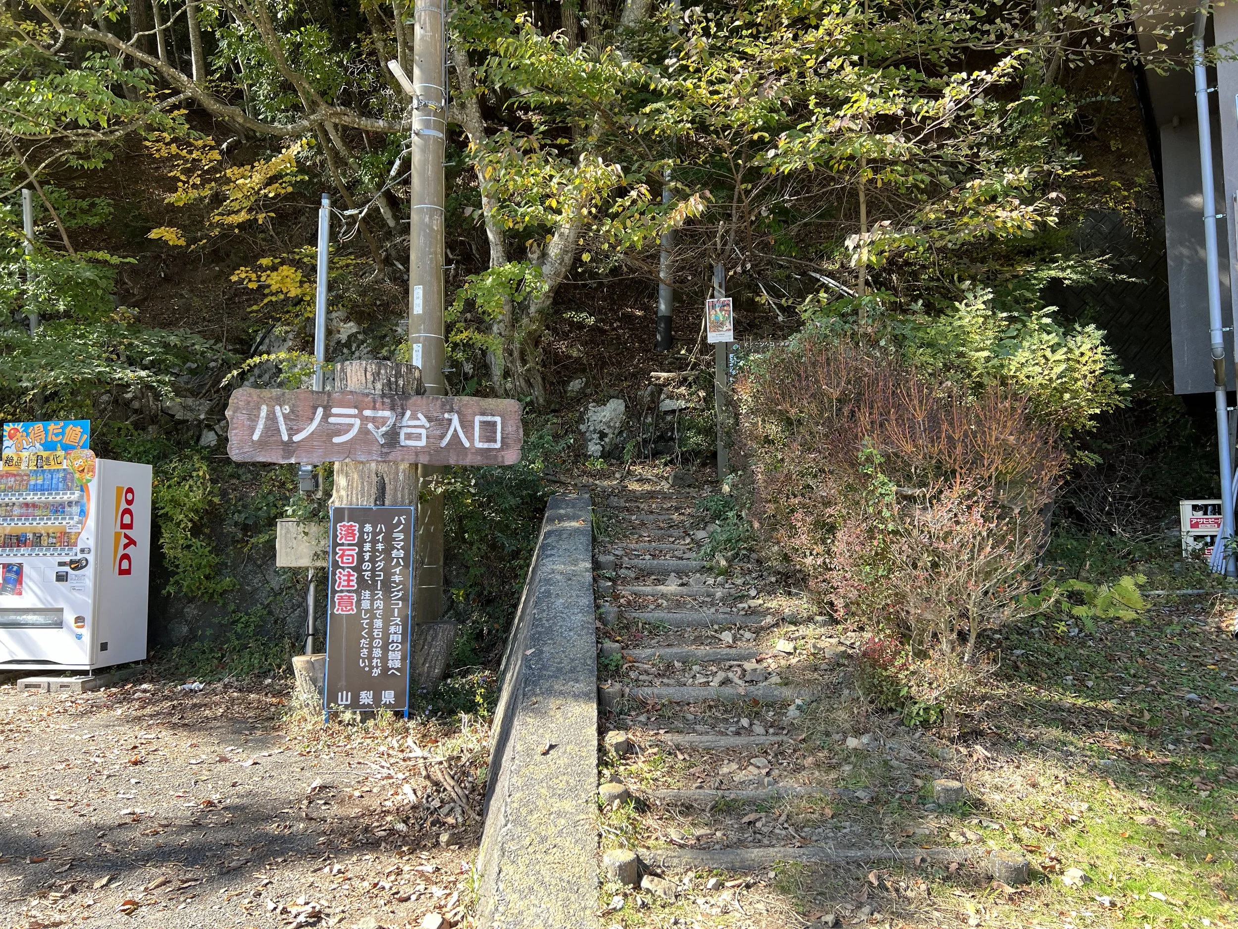
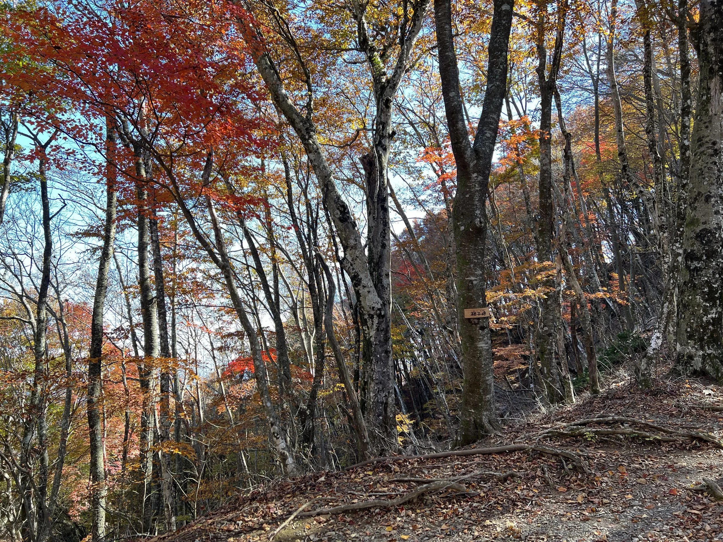
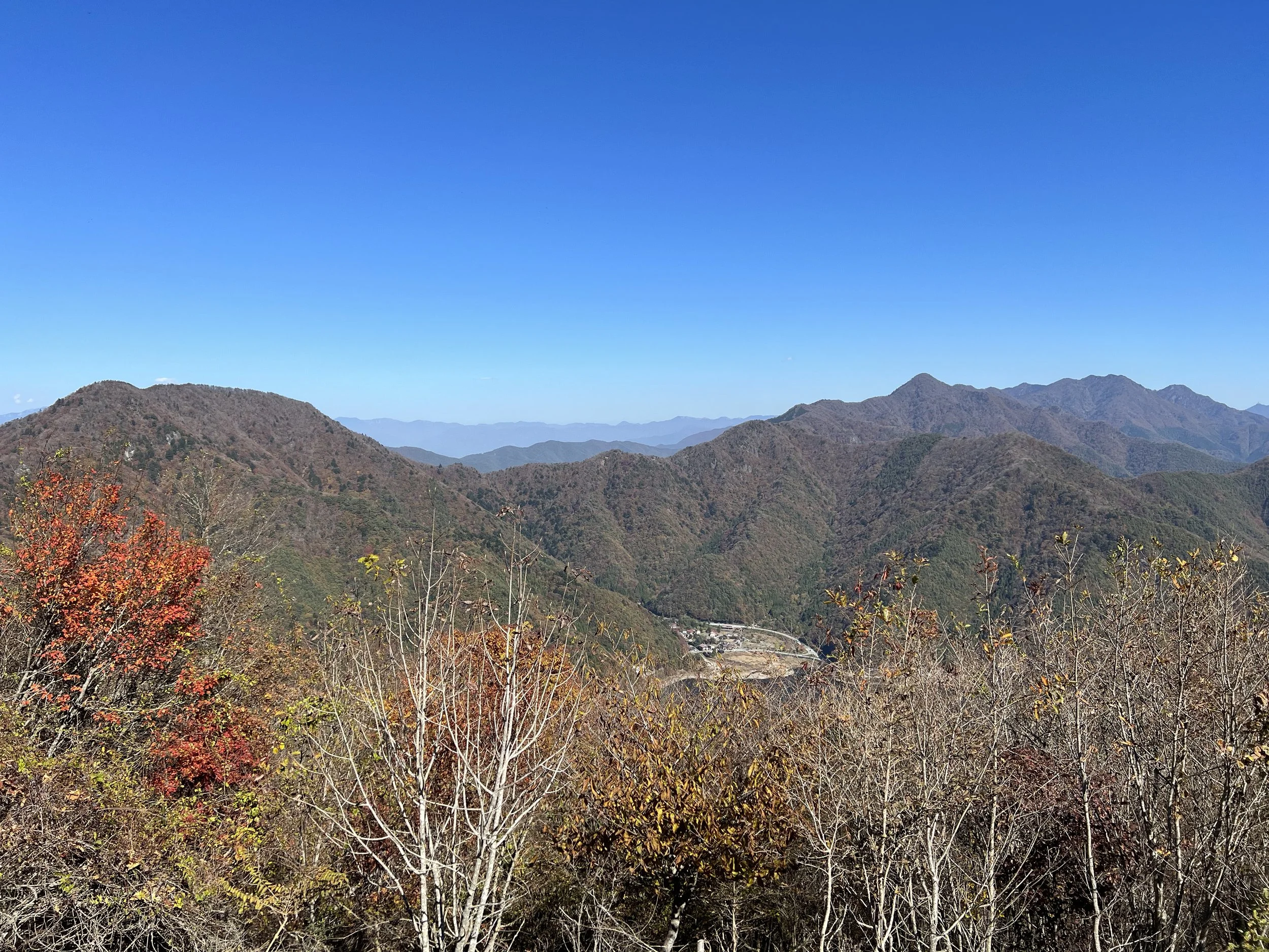
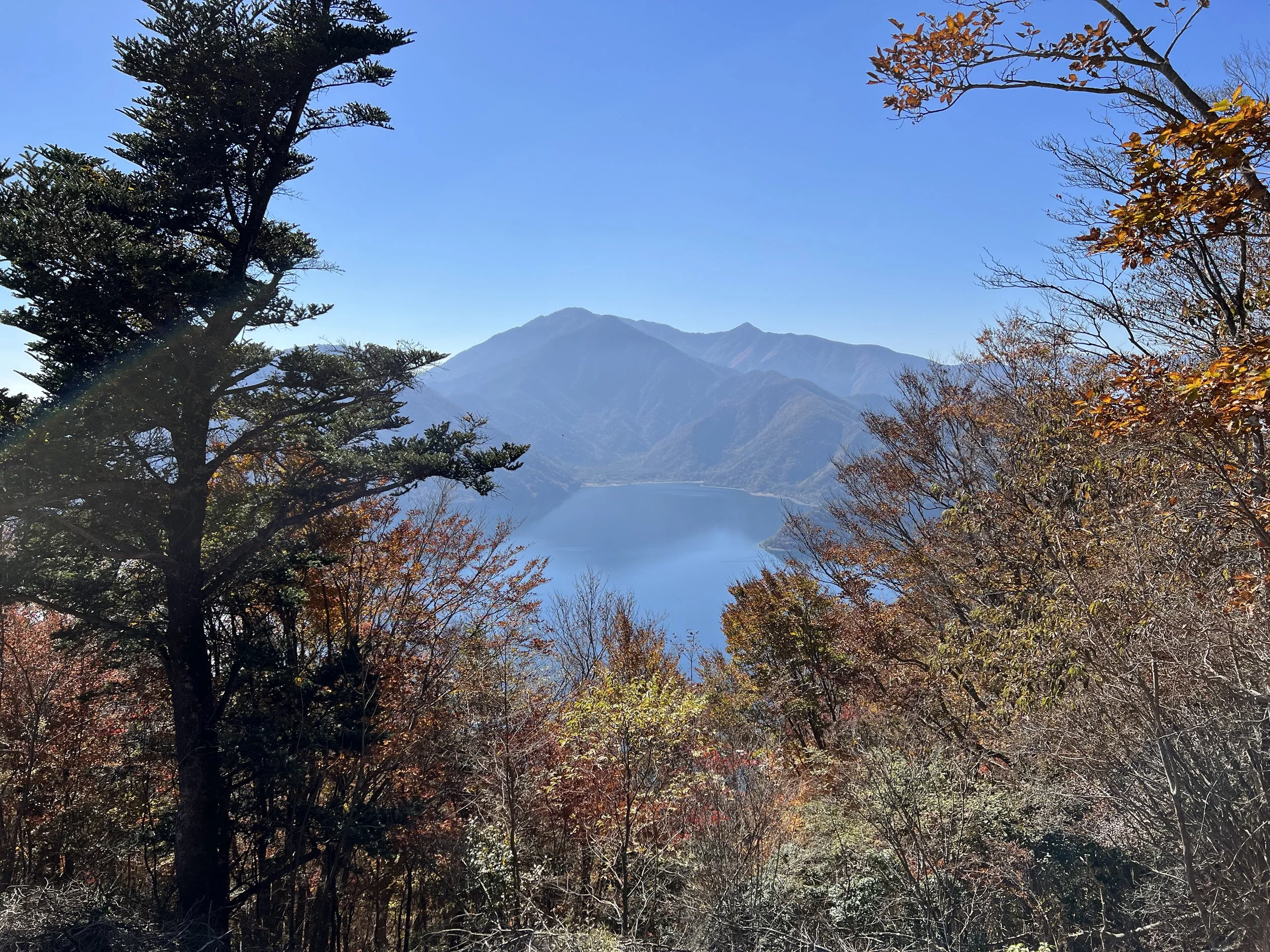
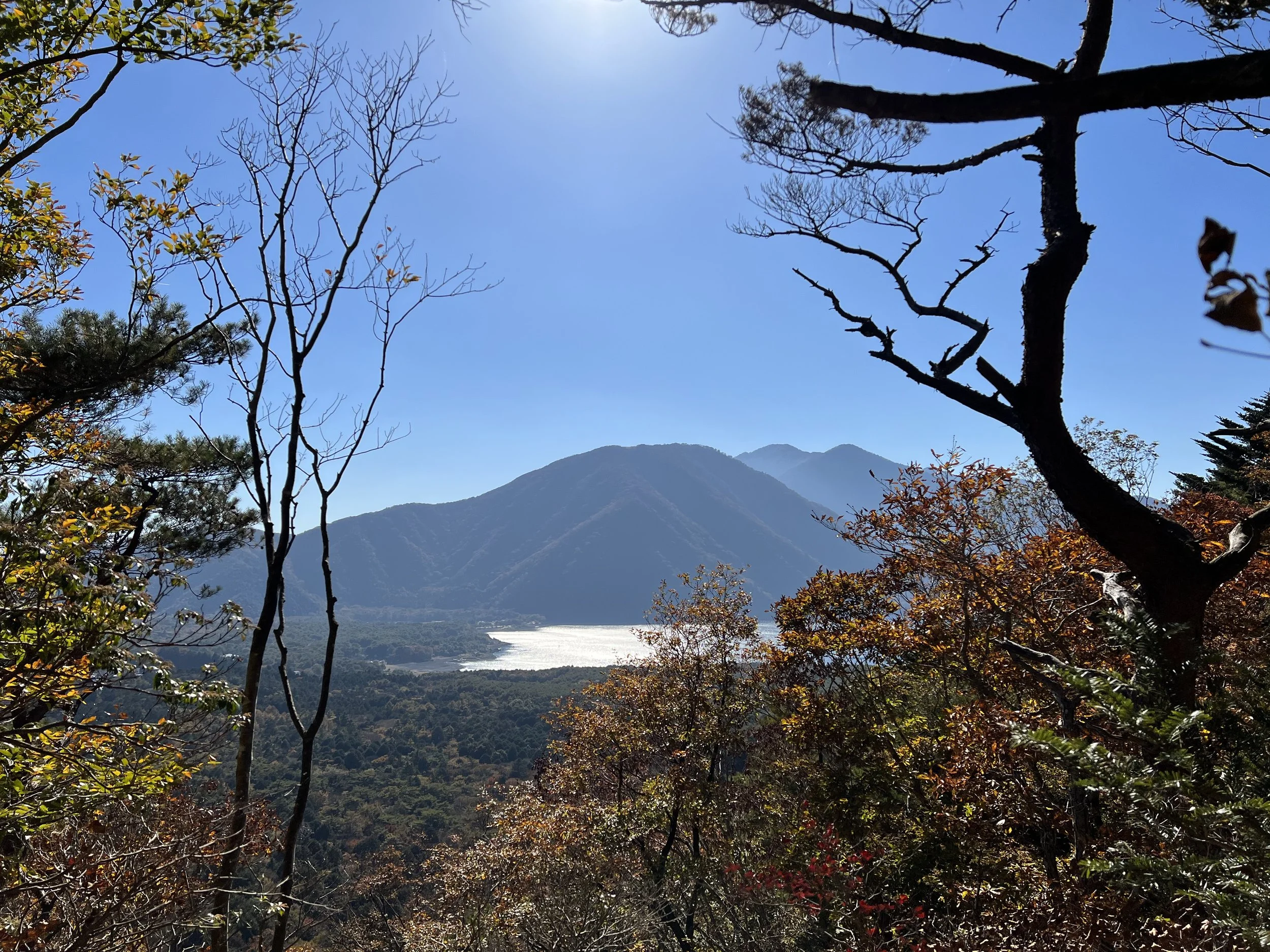
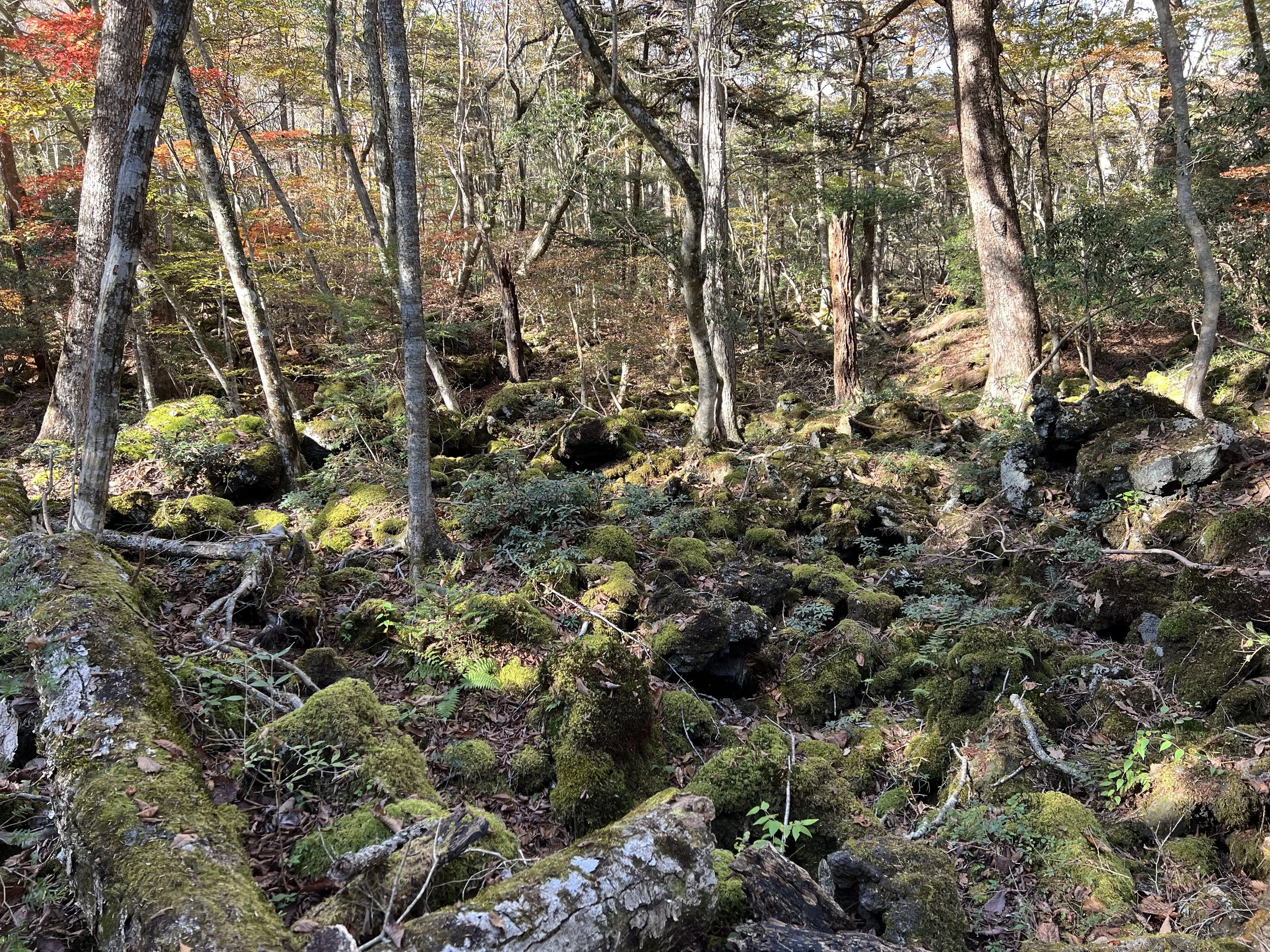
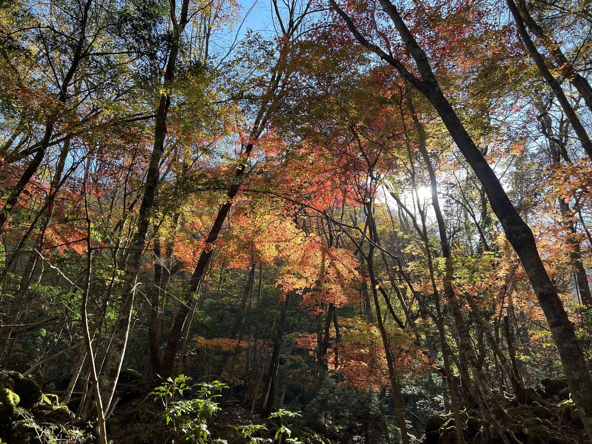
On the bus, I ran into two German hikers I’d met the day before on the Koyodai hike, and we decided to hike together. When we arrived at the bus stop, the view of Lake Shoji and Mount Fuji was already stunning. The trailhead was clearly marked, and we started our climb. The first section was a steady incline, so we took it slow until the path leveled out. The autumn colours were still vibrant and beautiful along this stretch.
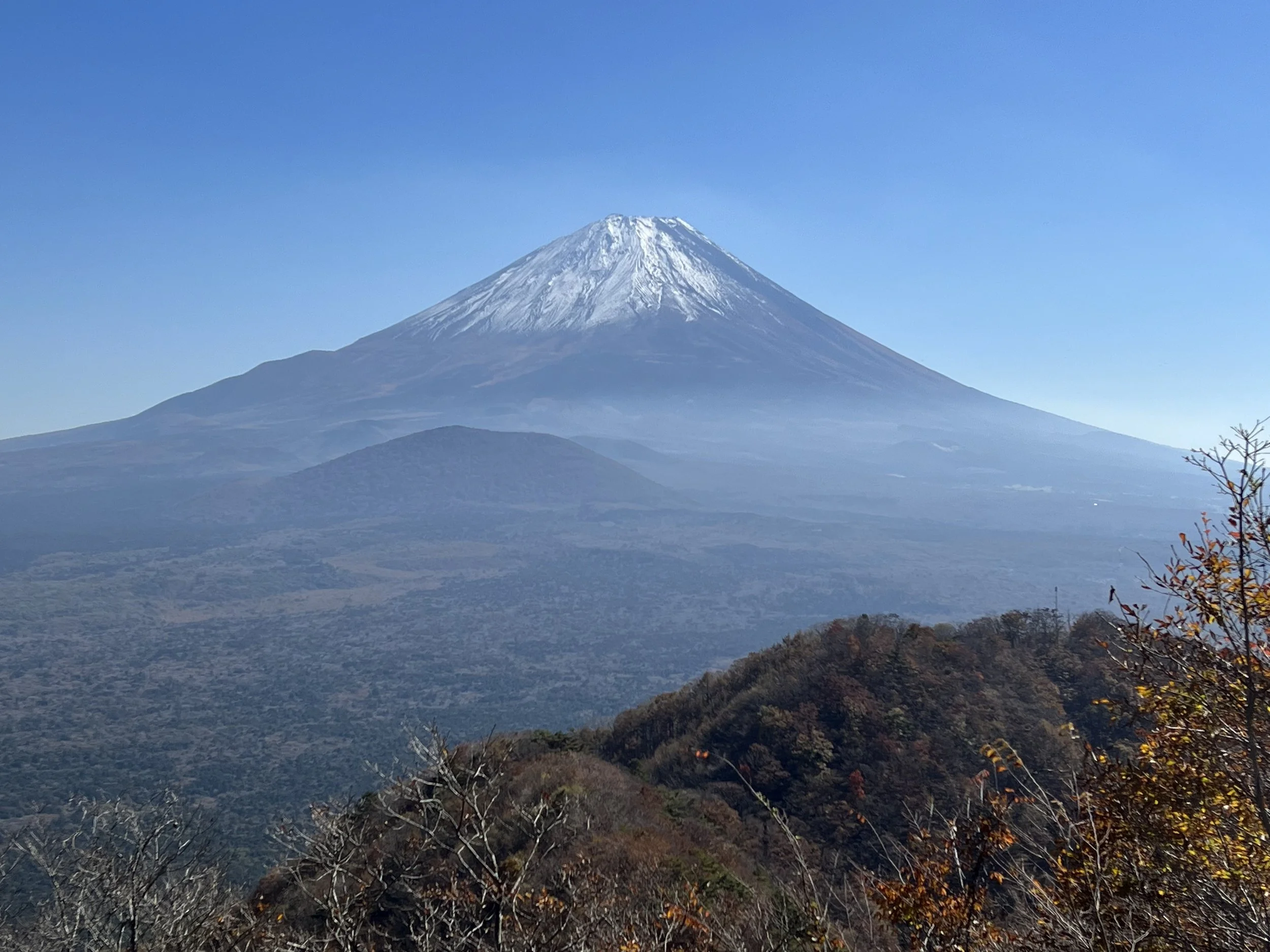
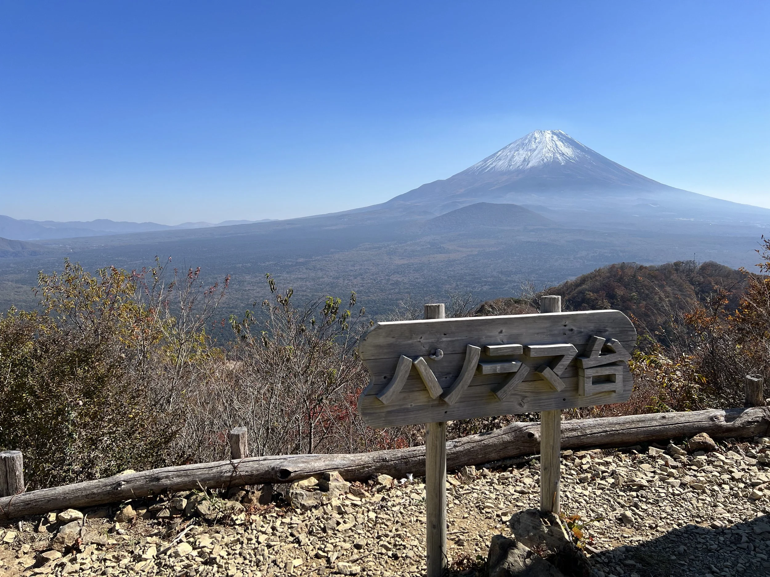
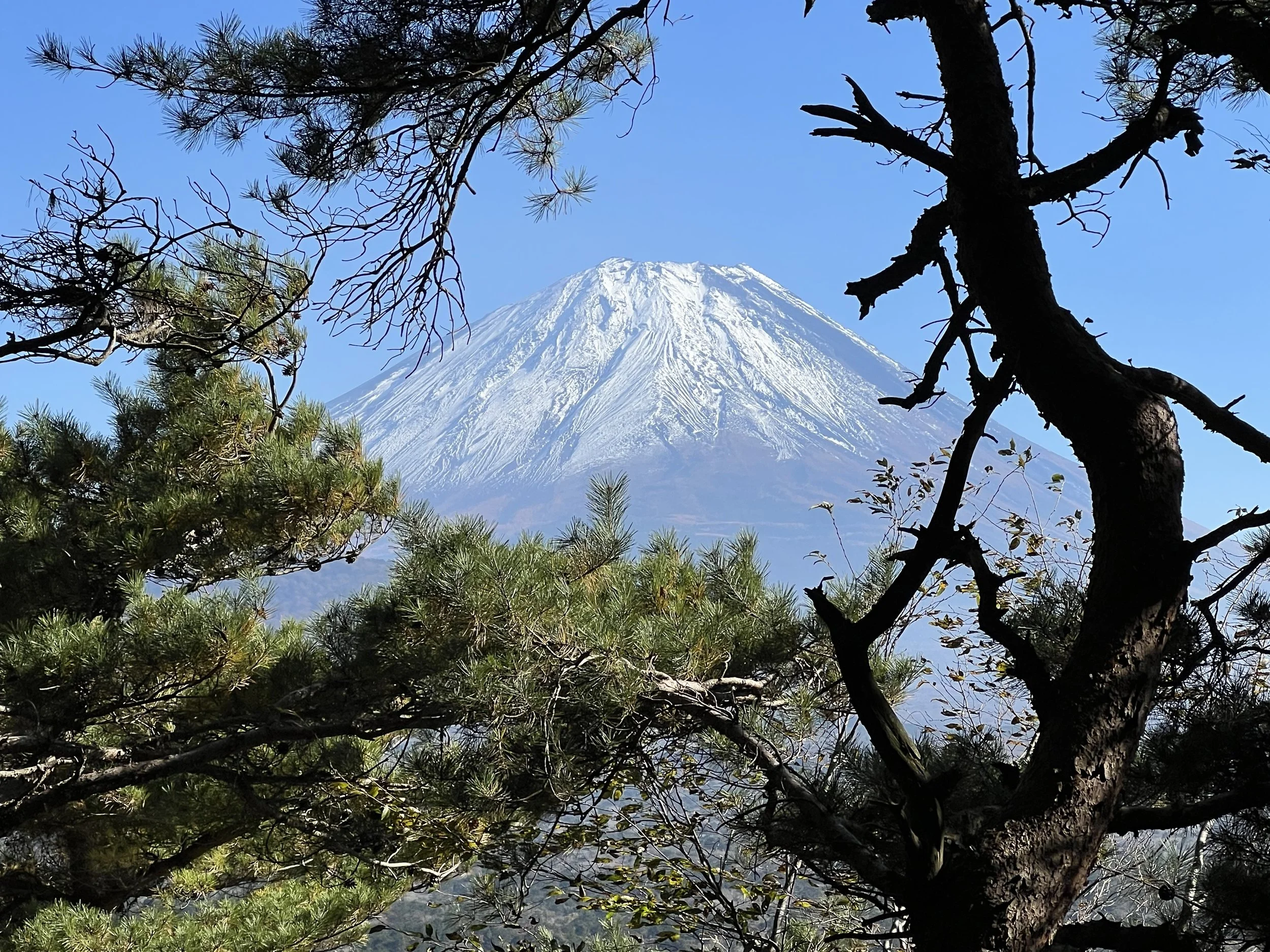
At Panoramadai, all the best viewing spots were already taken, but we managed to find a dry patch to sit. The name truly fits—the view of Mount Fuji is panoramic. We took a break here to enjoy the scenery and have some snacks.
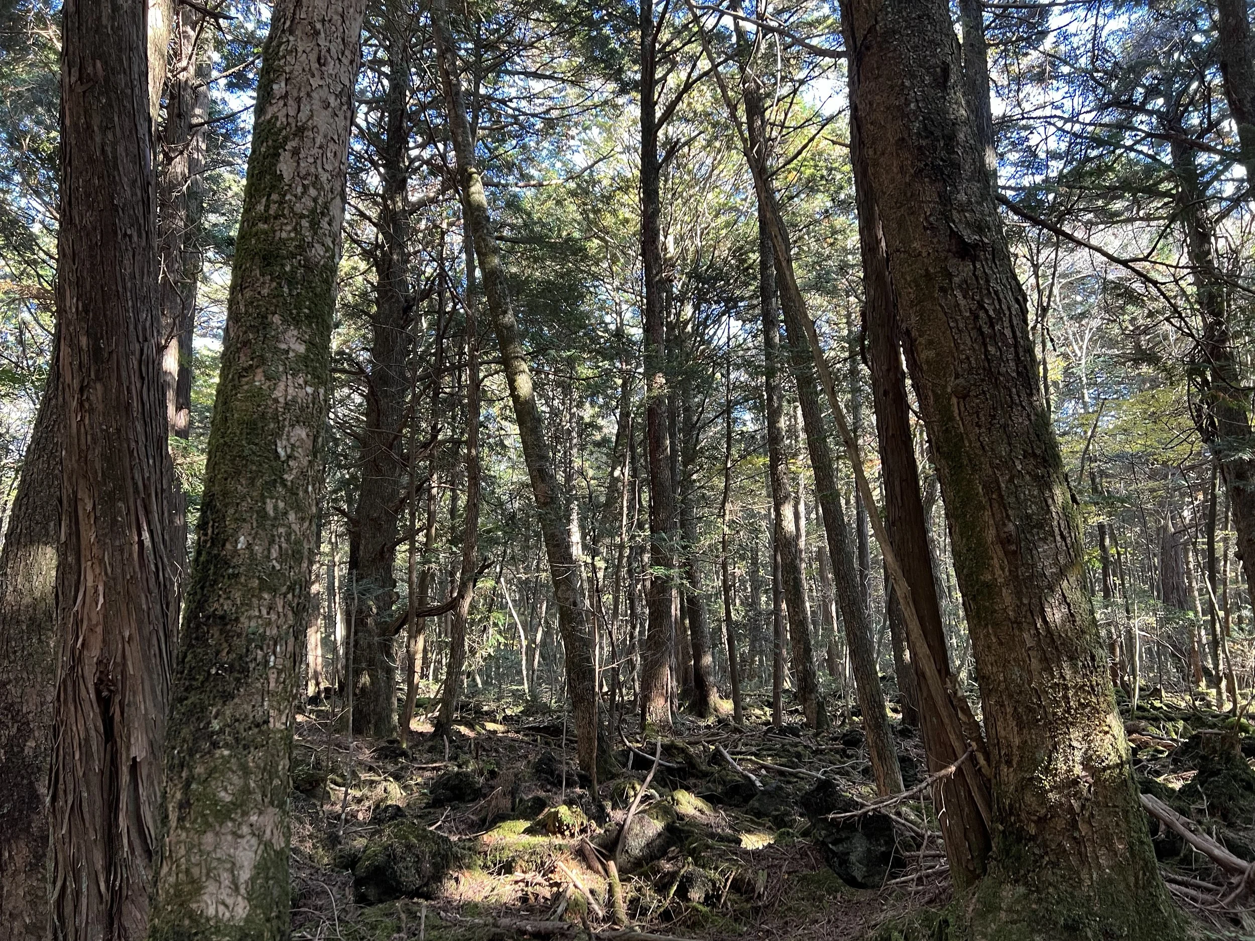
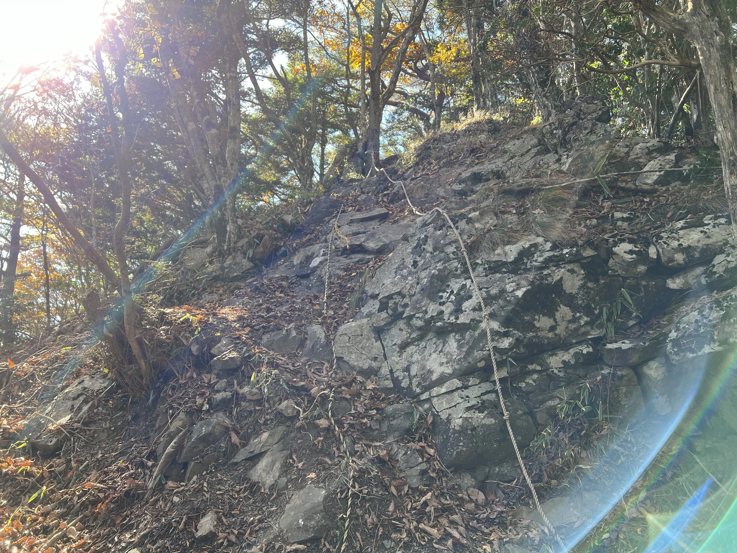
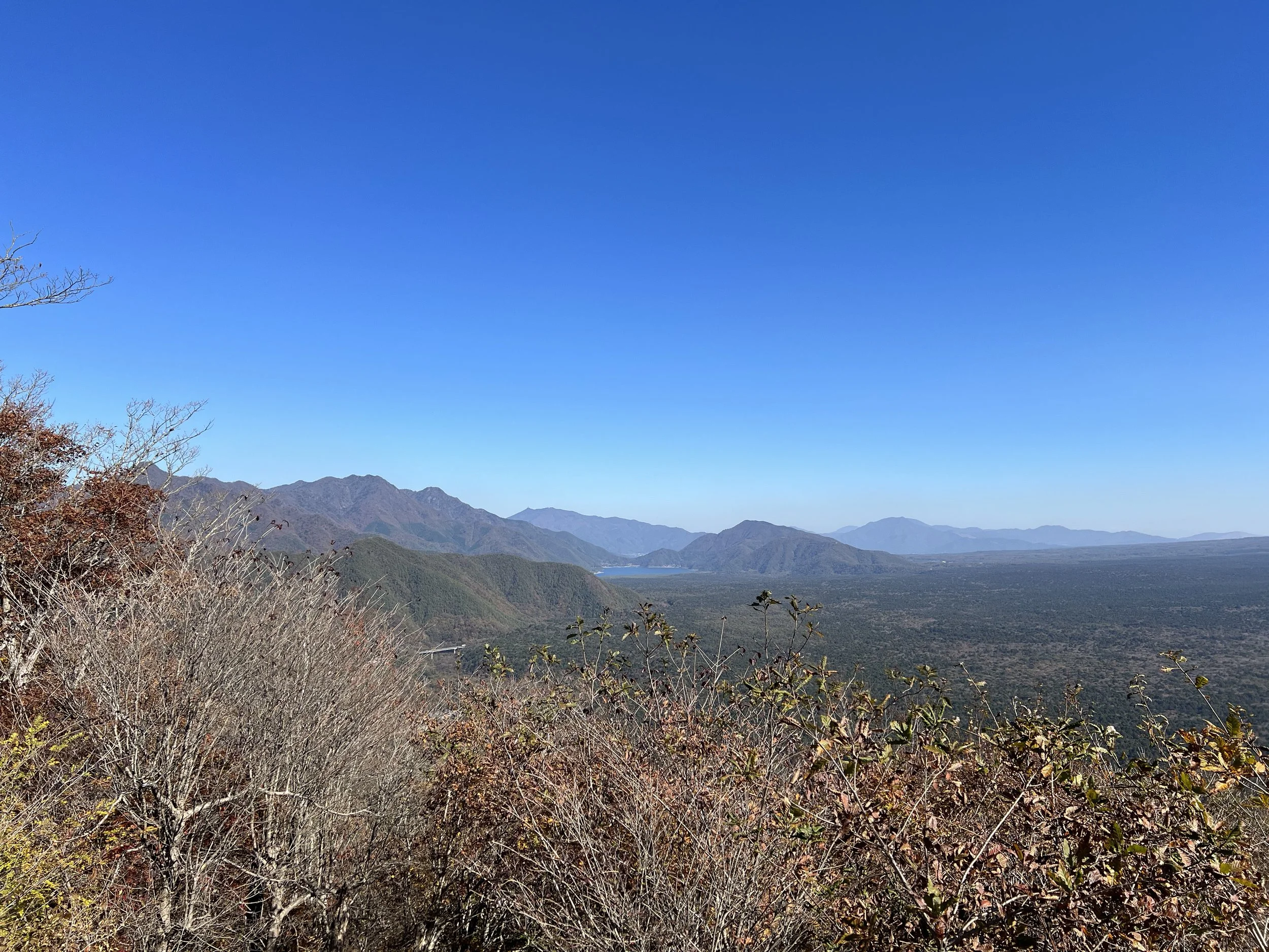
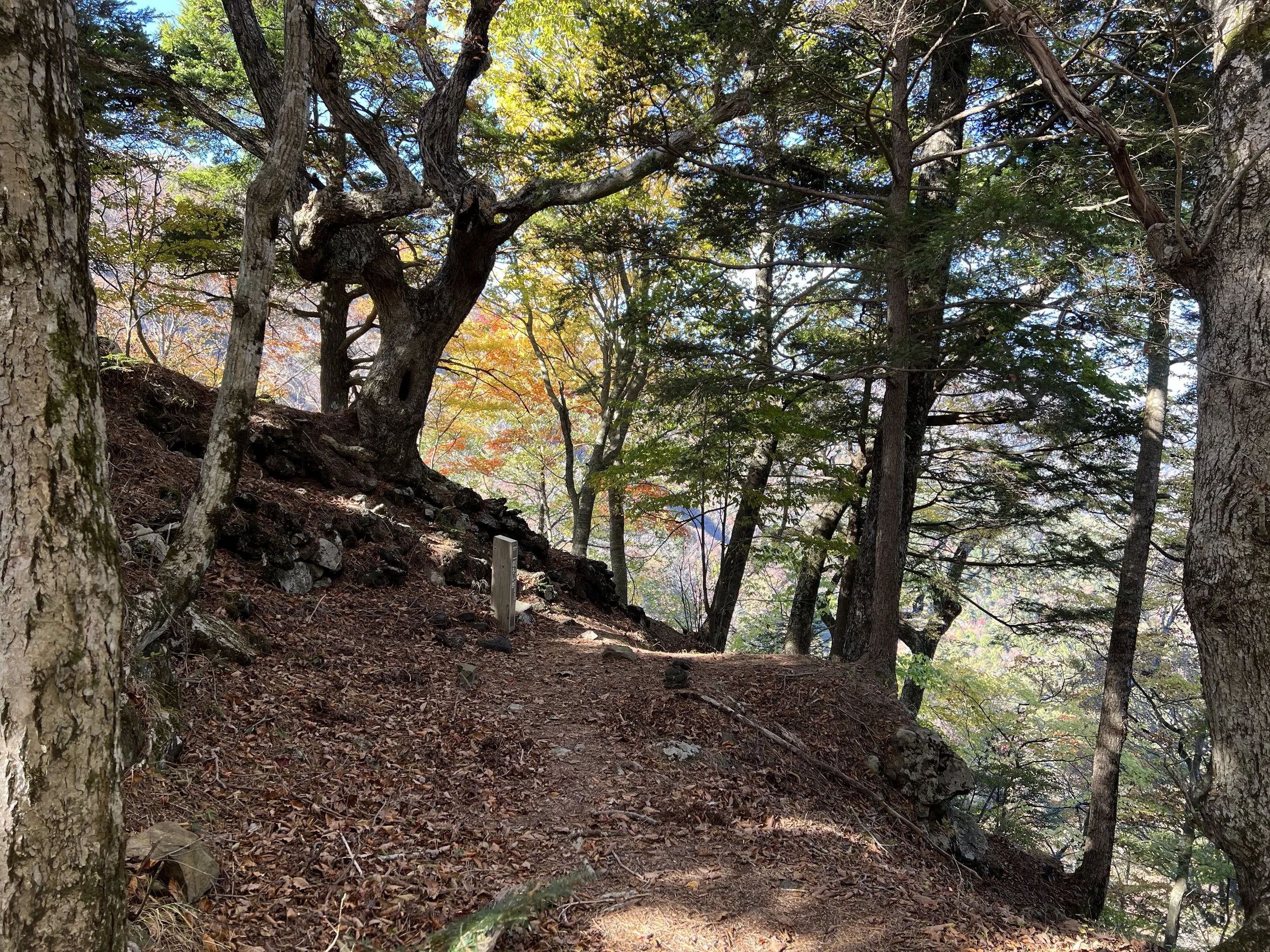
For the descent, we chose a different route from the trail map toward Mount Eboshi (1257m). The path was covered in fallen leaves, sometimes hard to see, and required a bit of scrambling, but we made it down safely. We even met a trail runner—it was impressive, considering how slippery the trail was. We reached the bus stop just in time to catch the bus back to town.
History & Background
Panoramadai (パノラマ台) – True to its name, Panoramadai—meaning “Panorama Plateau”—offers one of the widest, most breathtaking views of Mount Fuji and the surrounding lakes. It sits within Fuji-Hakone-Izu National Park, and locals have long known it as a peaceful spot to take in the changing seasons, especially the golden autumn colours and snow-capped Fuji in winter. The open ridge here was once used as grazing land, which might explain why the view feels so expansive and unobstructed. While it’s less crowded than the more famous viewpoints around Kawaguchiko, the scenery rivals them all—making it one of those quiet gems that reward the effort of getting there.
Getting There
From Kawaguchiko Station, both local and sightseeing buses stop near the trailhead. I took the earliest Blue Line Sightseeing Bus, which dropped me off directly across from the start of the trail. The Blue Line runs less frequently than other routes, so check the schedule in advance and plan accordingly—you don’t want to miss it.
Route Overview
Distance: 7.95 km (Panoramadai Trailhead → Lake Shojiko Trailhead)
Total elevation gain: 488 m
Duration: 2 hr 45 min (with breaks 3 hr 44 min)
Difficulty: Intermediate
Peaks: Panoramadai パノラマ台 1090m, Mt Eboshi 烏帽子岳 1257m
Cost Breakdown
Bus: Kawaguchiko Station → Panoramadai Trailhead — ¥0 (included in 2-day bus pass)