Pacific Spirit Regional Park - Vancouver, Canada
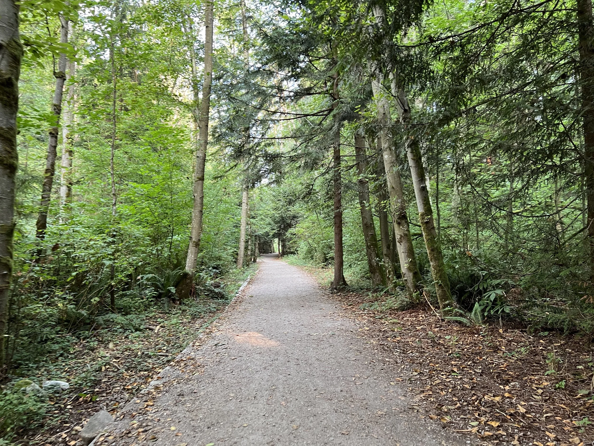
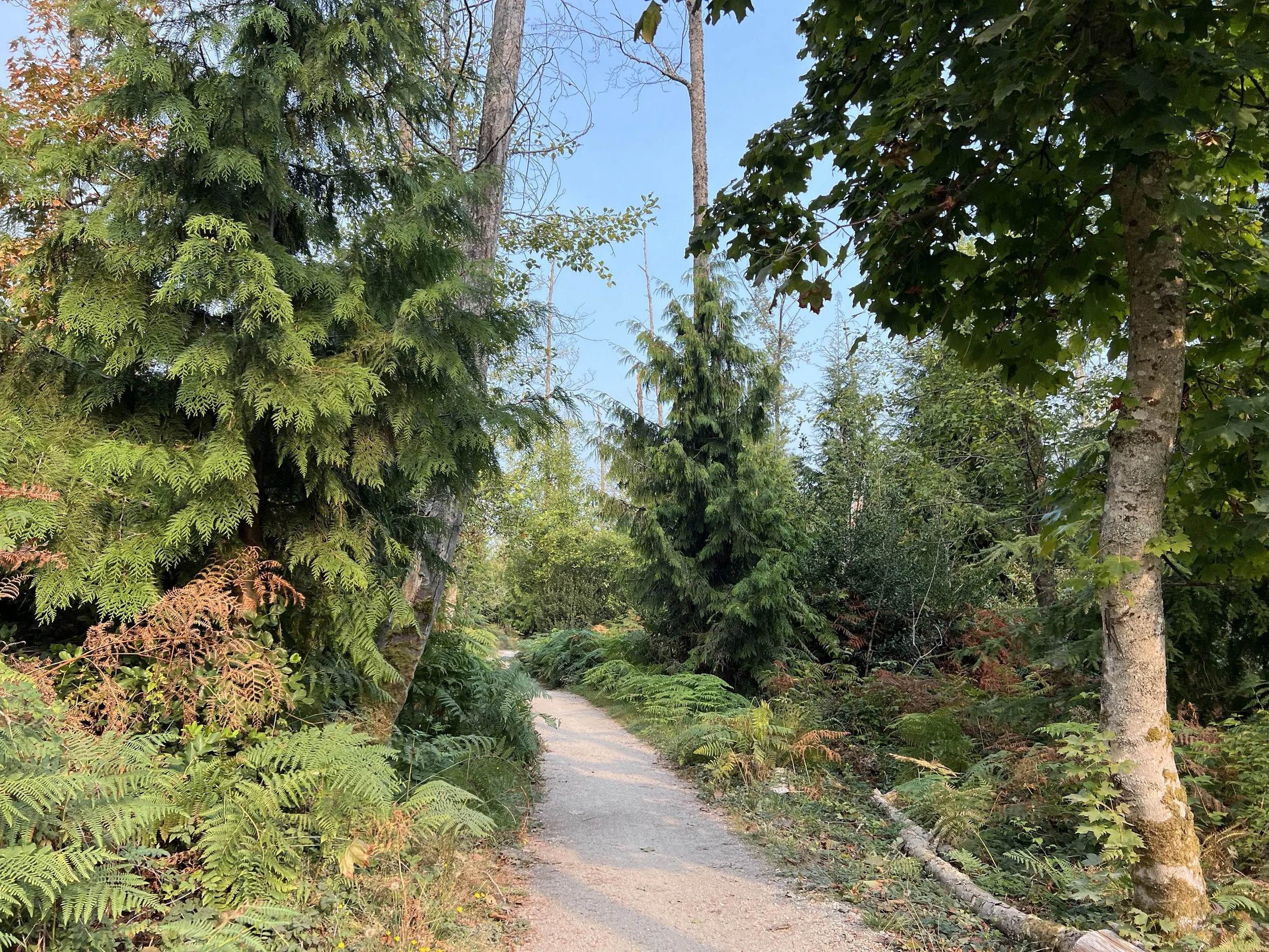
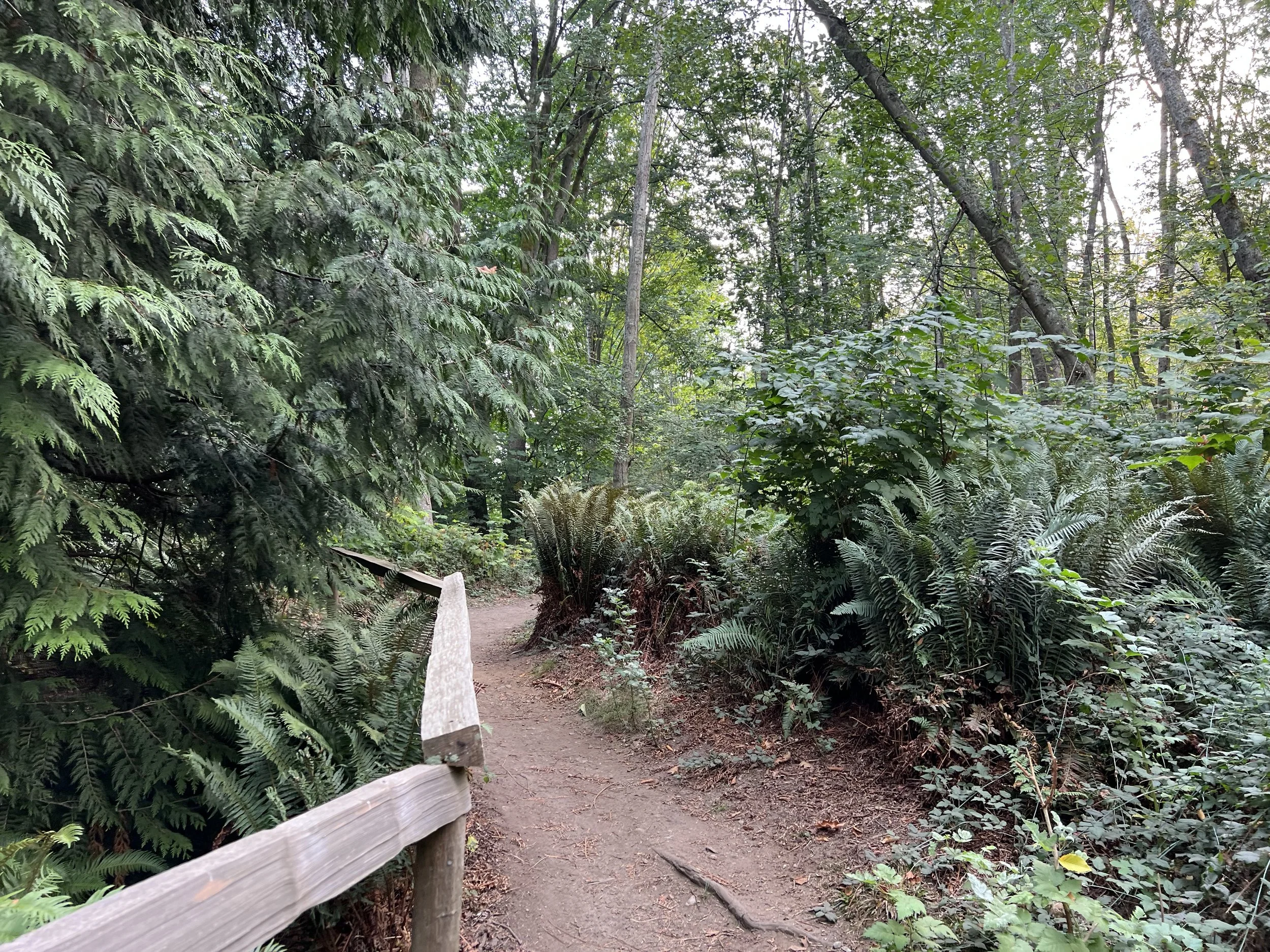
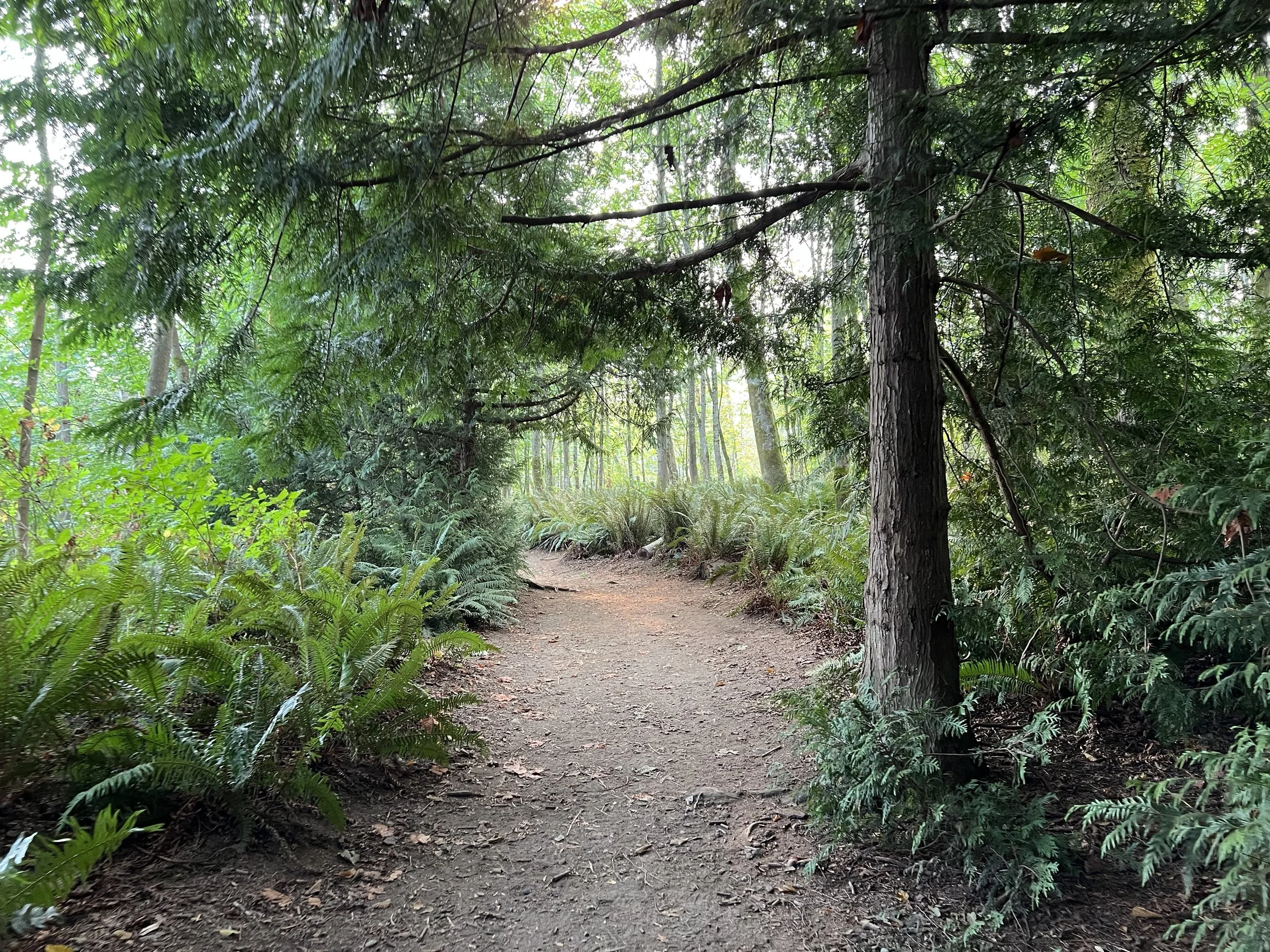
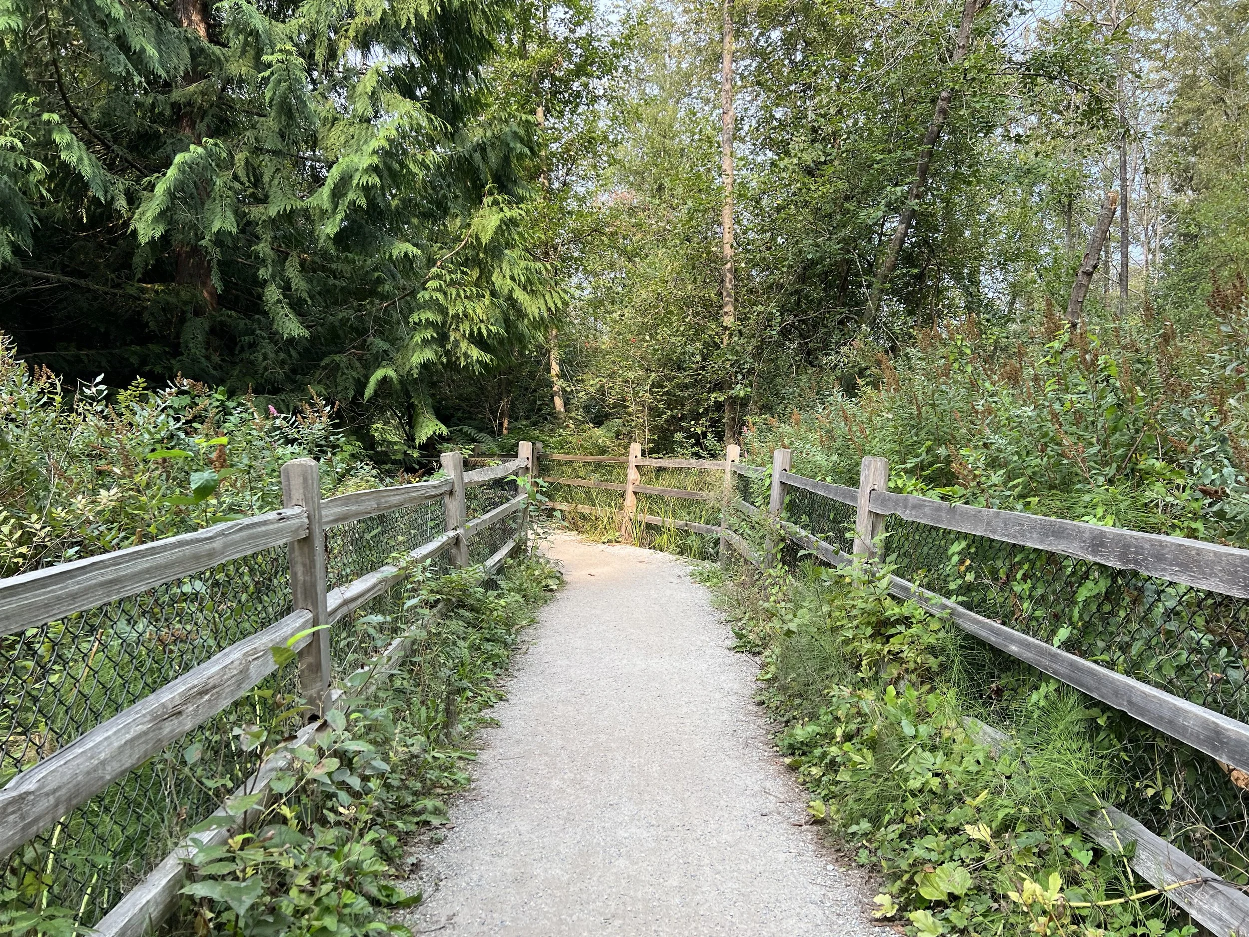
A friend suggested we go for a hike, but since my knee is still recovering from an injury, we decided on Pacific Spirit Regional Park — it’s relatively flat but still surrounded by plenty of nature. We met at the Park Centre parking lot around 10 a.m. and followed a route that looped from Cleveland Trail → Salish Trail → Admiralty Trail → West Canyon Trail, leading us towards the beach and back to where we started. I wanted a mix of forest and ocean views, and this route offered exactly that.
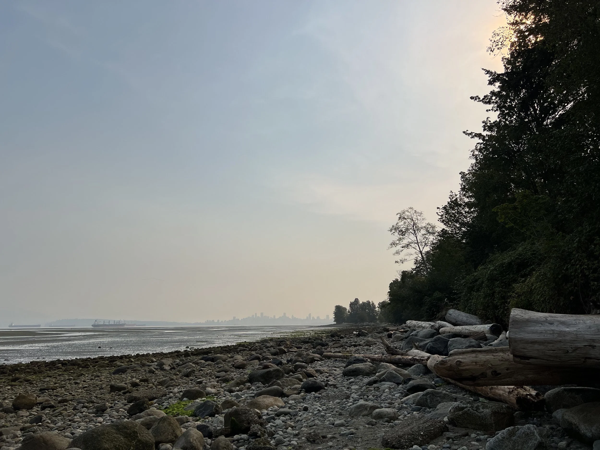
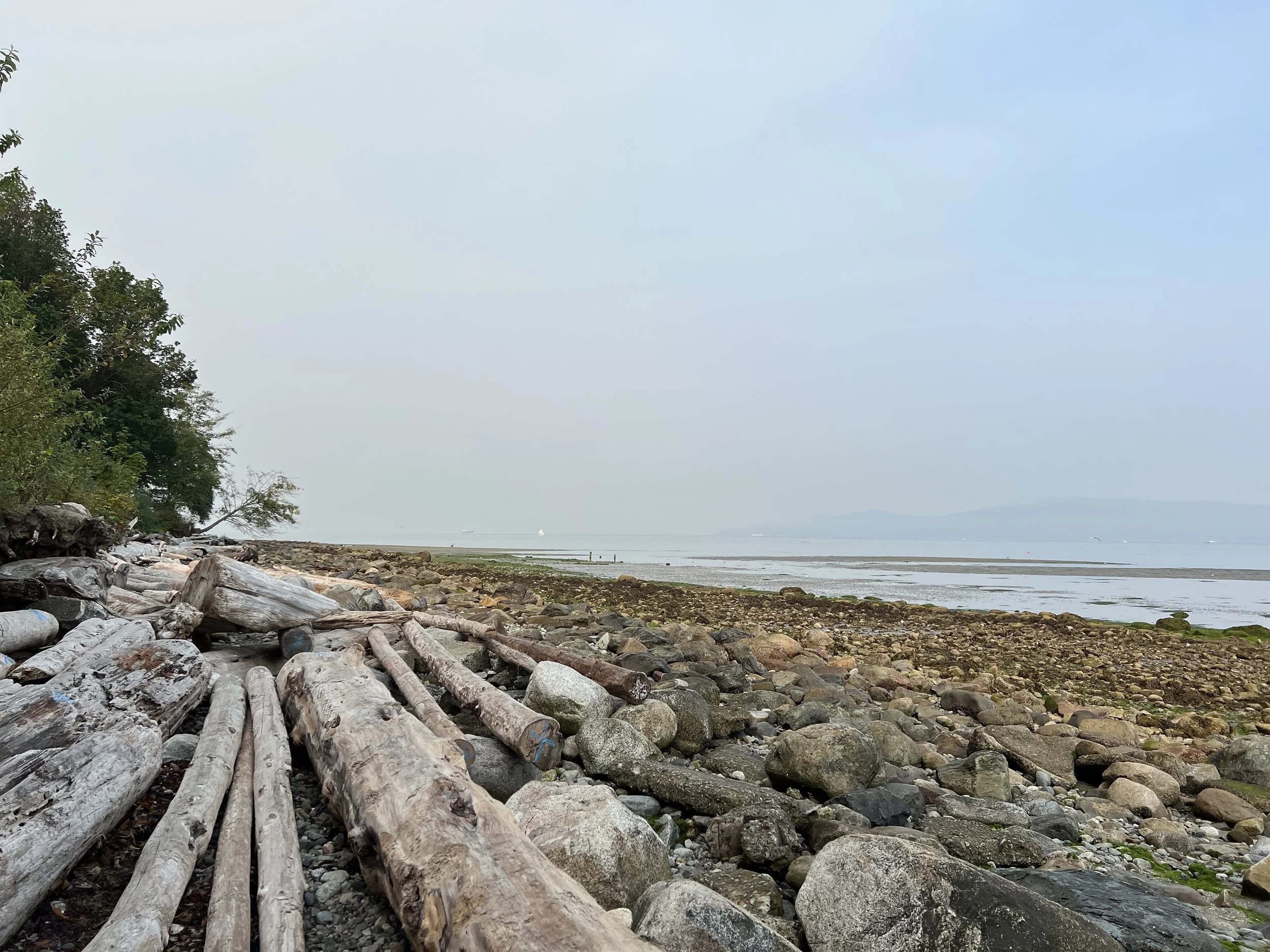
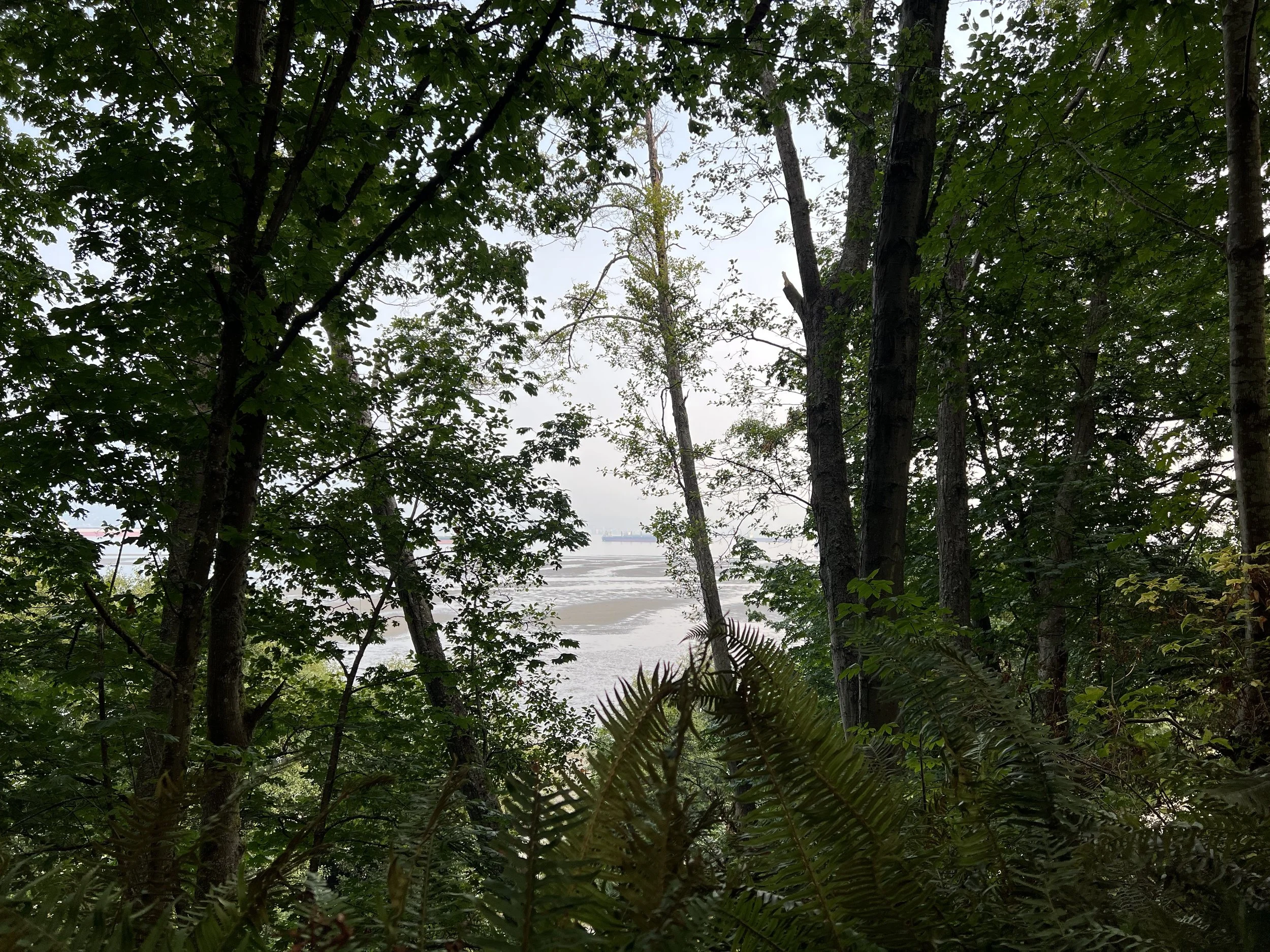
The weather was humid, and wildfire smoke affected the air quality. Even though the trails are mostly shaded, it was still quite warm. The paths are well-marked, but we did need to cross two main roads to continue on the trail. When we reached Arcadia Beach, the smog made downtown Vancouver barely visible, yet the view was still beautiful. We took a short break there, sitting by the rocks and watching others enjoy picnics at the tables nearby.
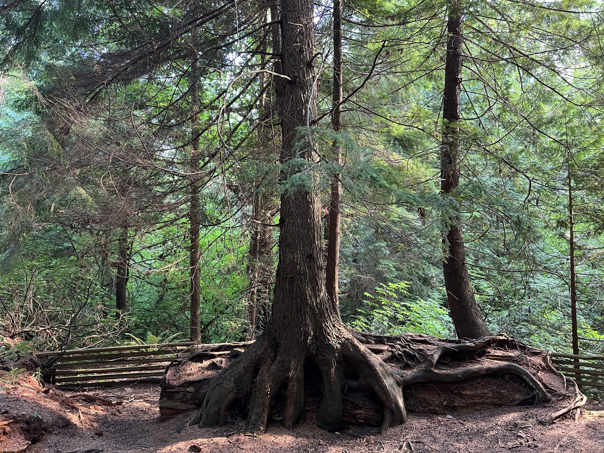
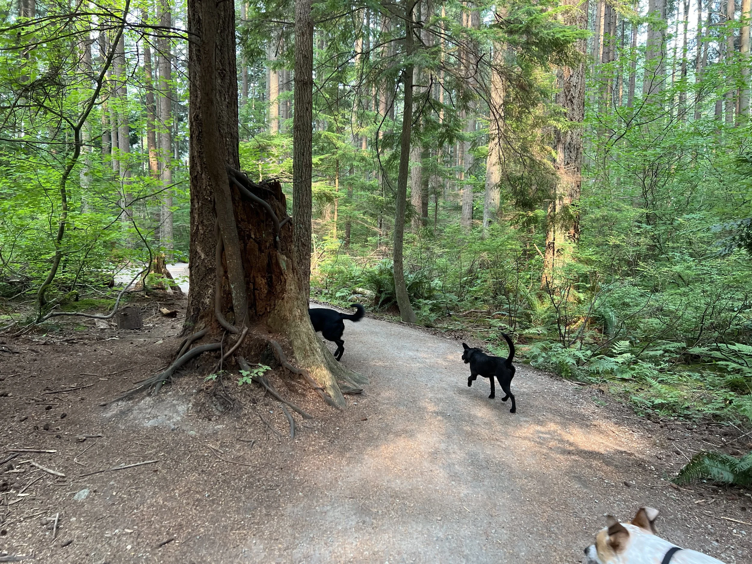
On our way back, the trail was livelier with more hikers and their dogs. It was fun watching them run around — at one point, a small group of dogs even joined us briefly before their owners called them back. We also passed some interesting trees, including one fallen trunk with three different trees growing out of it.
When we returned to the parking lot, we unpacked our sandwiches, snacks, and drinks and enjoyed a relaxed lunch at the picnic table, surrounded by trees and good company. If you’re looking for an easy, nature-filled walk, Pacific Spirit Regional Park is a wonderful option — even with my recovering knee, I managed the loop comfortably.
Background
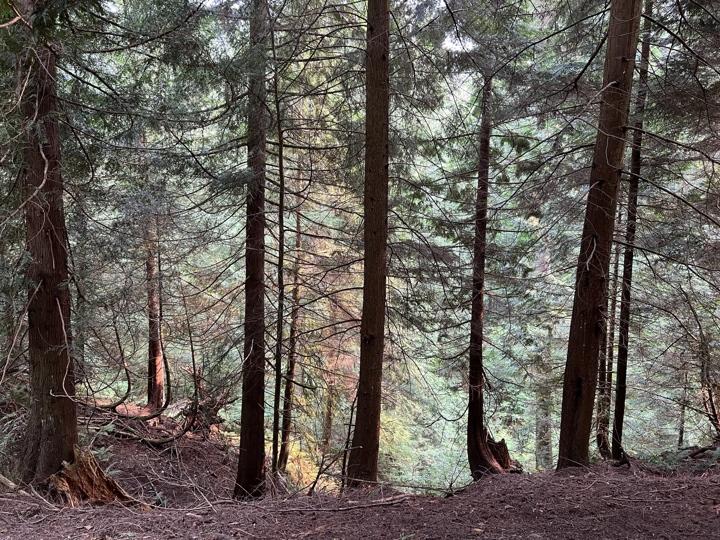
Nestled next to the University of British Columbia, Pacific Spirit Regional Park is a lush coastal forest filled with towering evergreens, peaceful trails, and the scent of ocean air drifting in from nearby beaches. It’s one of those places where you can escape city noise within minutes — perfect for a quiet walk, a long run, or simply reconnecting with nature on Vancouver’s west side.
Getting There
You can easily reach the park by public transit — the TransLink website is the best place to plan your route. For me, it would have meant taking the SkyTrain and then transferring to a bus, so I chose to drive instead. The park has several free parking areas near different trailheads with a two-hour limit, and there are EV charging stations available. If you’re arriving by transit, the Park Centre parking lot is the most convenient starting point.
Route Overview
Distance: 7.59 km out & back (Pacific Spirit Regional Park Centre Parking)
Total elevation gain: 120 m
Duration: 1 hr 43 min (with breaks 1 hr 44 min)
Difficulty: Easy
Cost Breakdown
Parking: C$0