Mount Sengen - Kanagawa, Japan
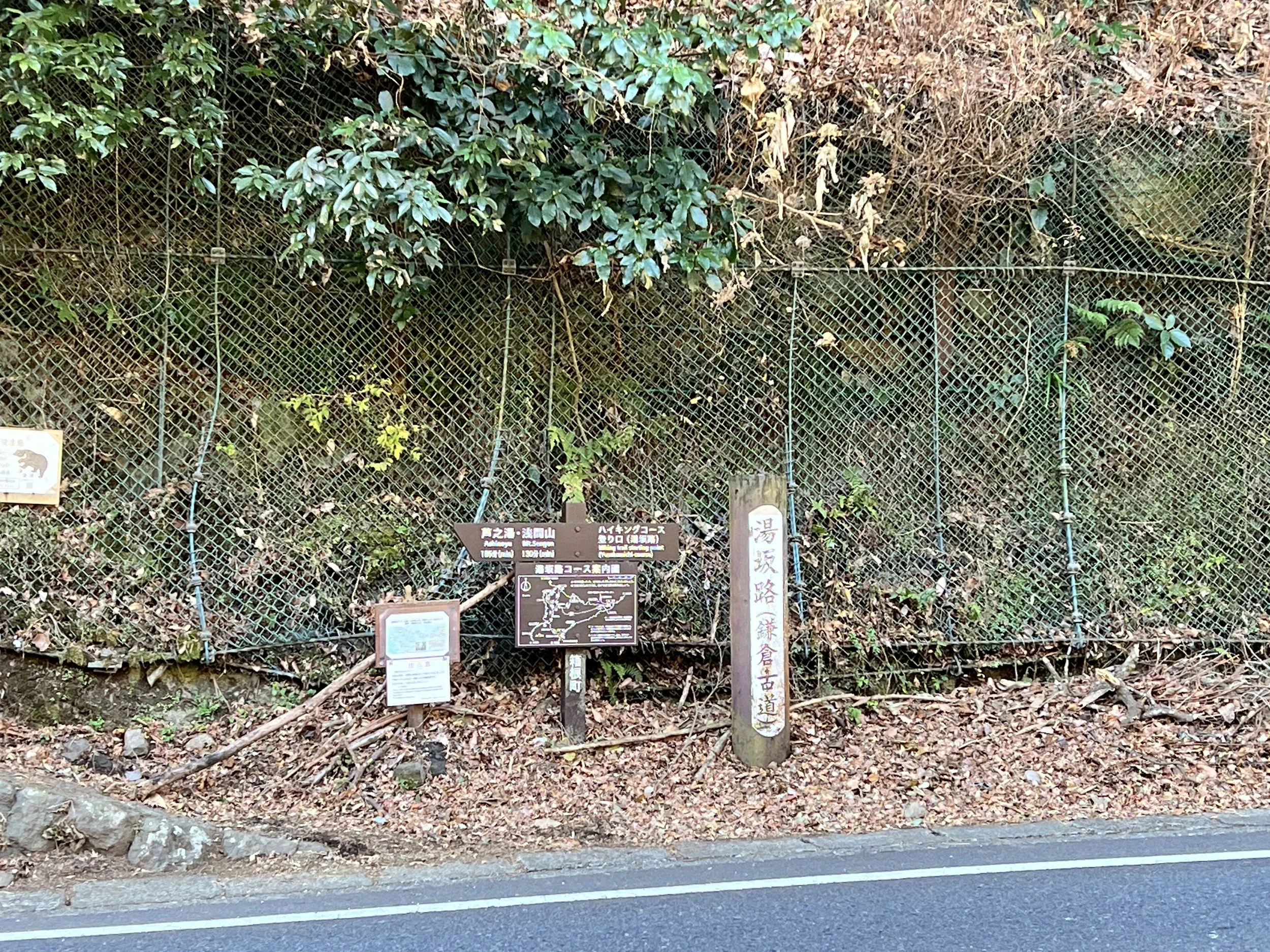
Mt. Sengen wasn’t my goal today; I planned to explore multiple trails. I wasn’t here for the views—I just felt like hiking. I started from Hakone-Yumoto Station and walked to the trailhead near a busy road. Since there was no easy crossing, I had to walk a bit farther to get across safely.
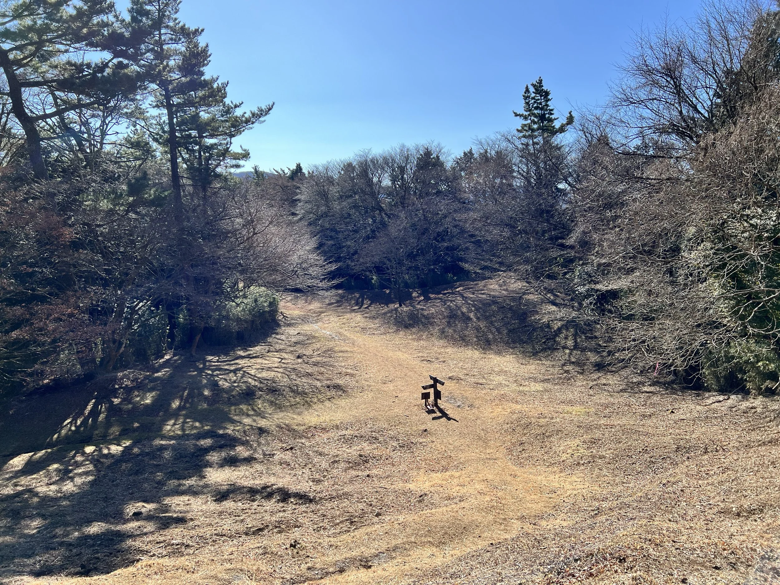
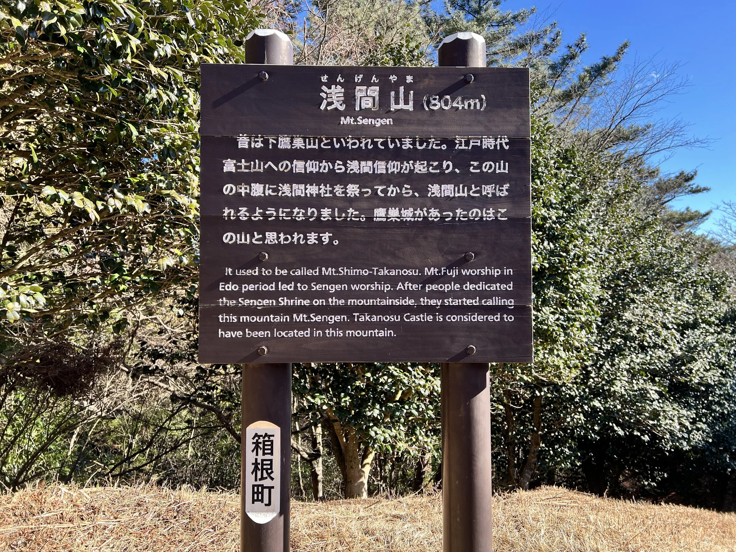
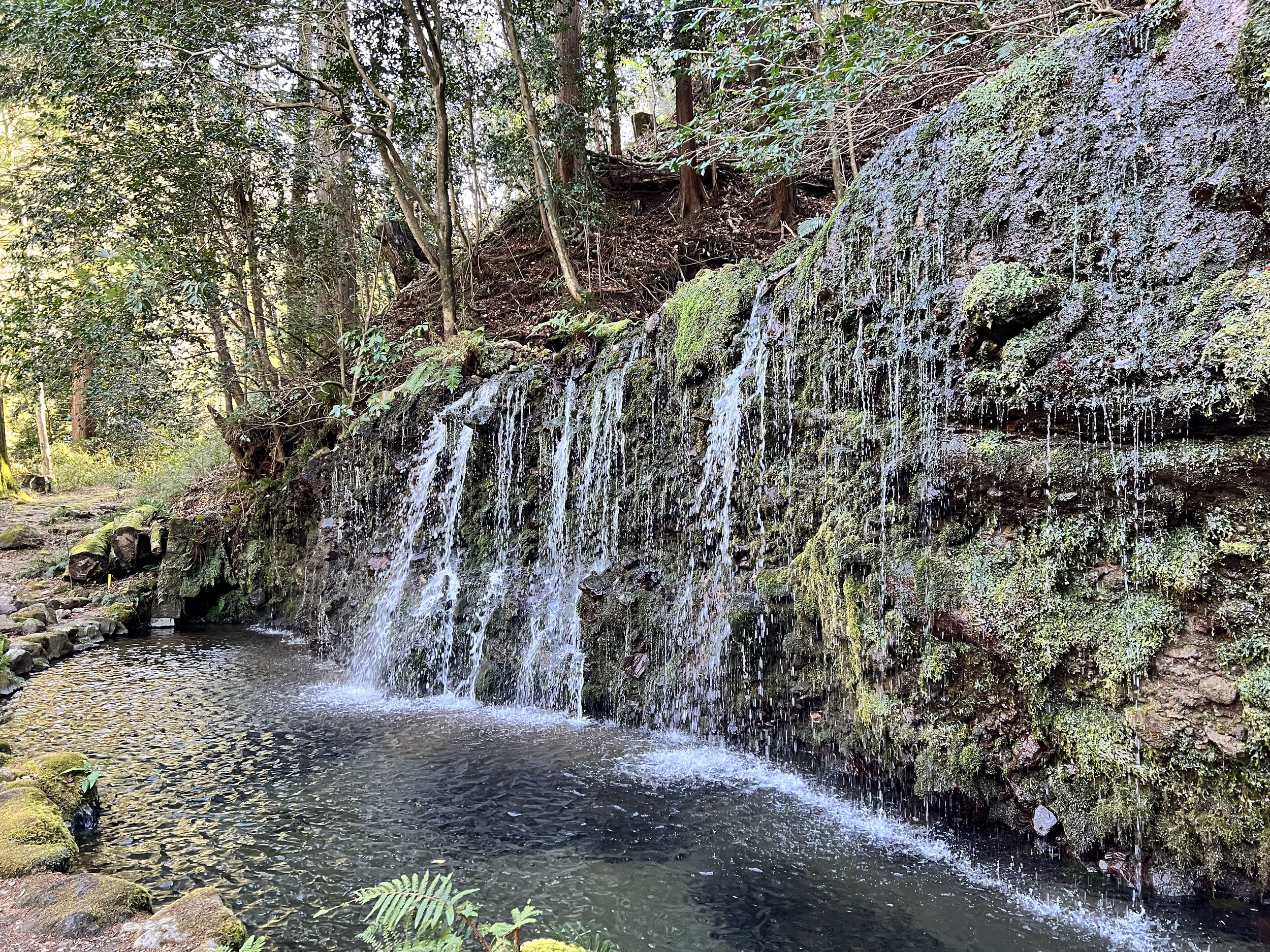
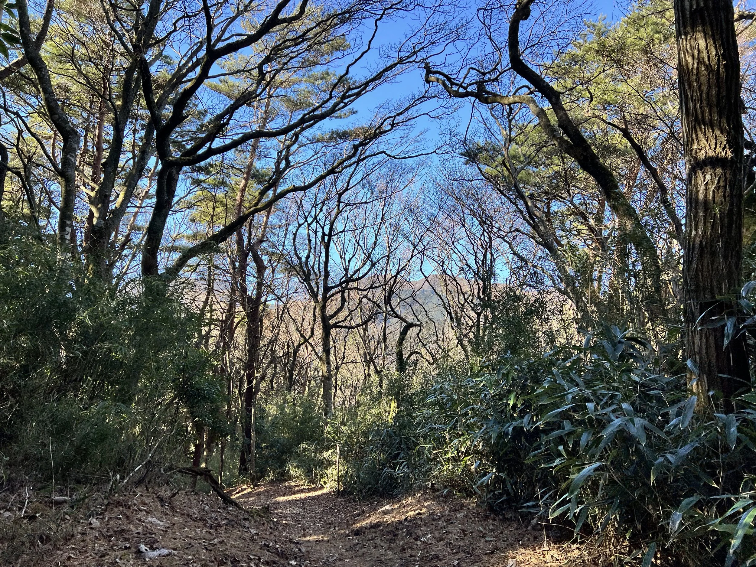
The trail passed through a forest fire break, open to the sun—I could really feel the heat. The first section was an easy, gradual ascent, and I quickly reached Mt. Sengen. I hesitated, considering skipping Chisuji Falls and heading straight to Mt. Takanosuyama, but I wanted to see the waterfall, so I took the trail down. The narrow downhill stretch led me to Chisuji Falls. The small waterfall lives up to its name, "Chisuji" (thousand threads), with thin streams spreading across a wide rock face. I took some photos before climbing toward Mt. Takanosuyama.
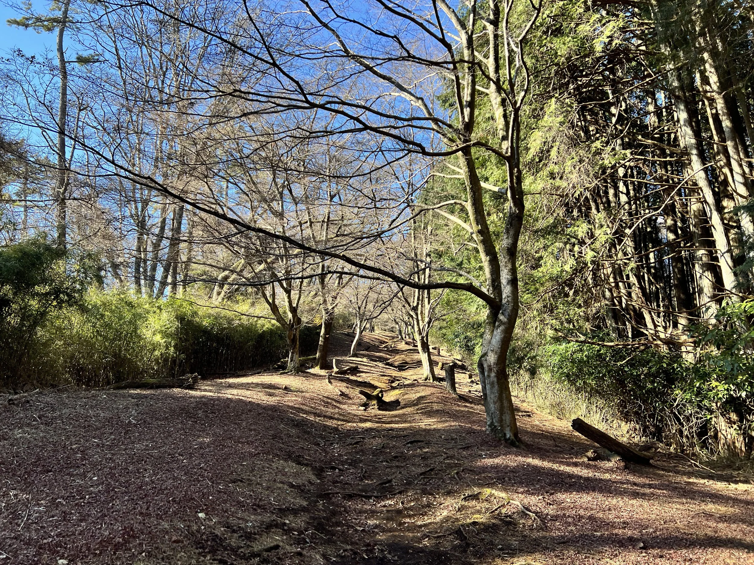
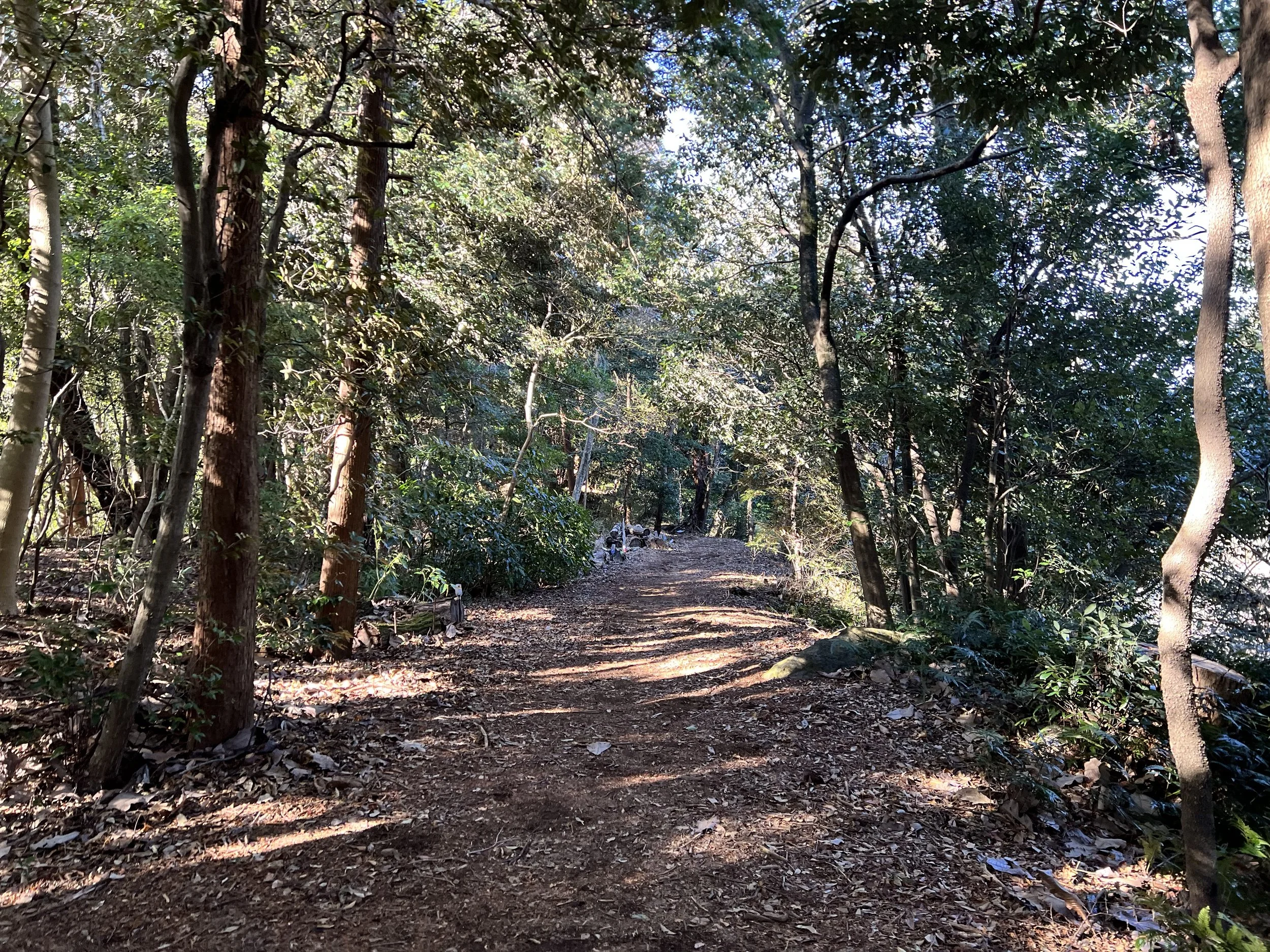
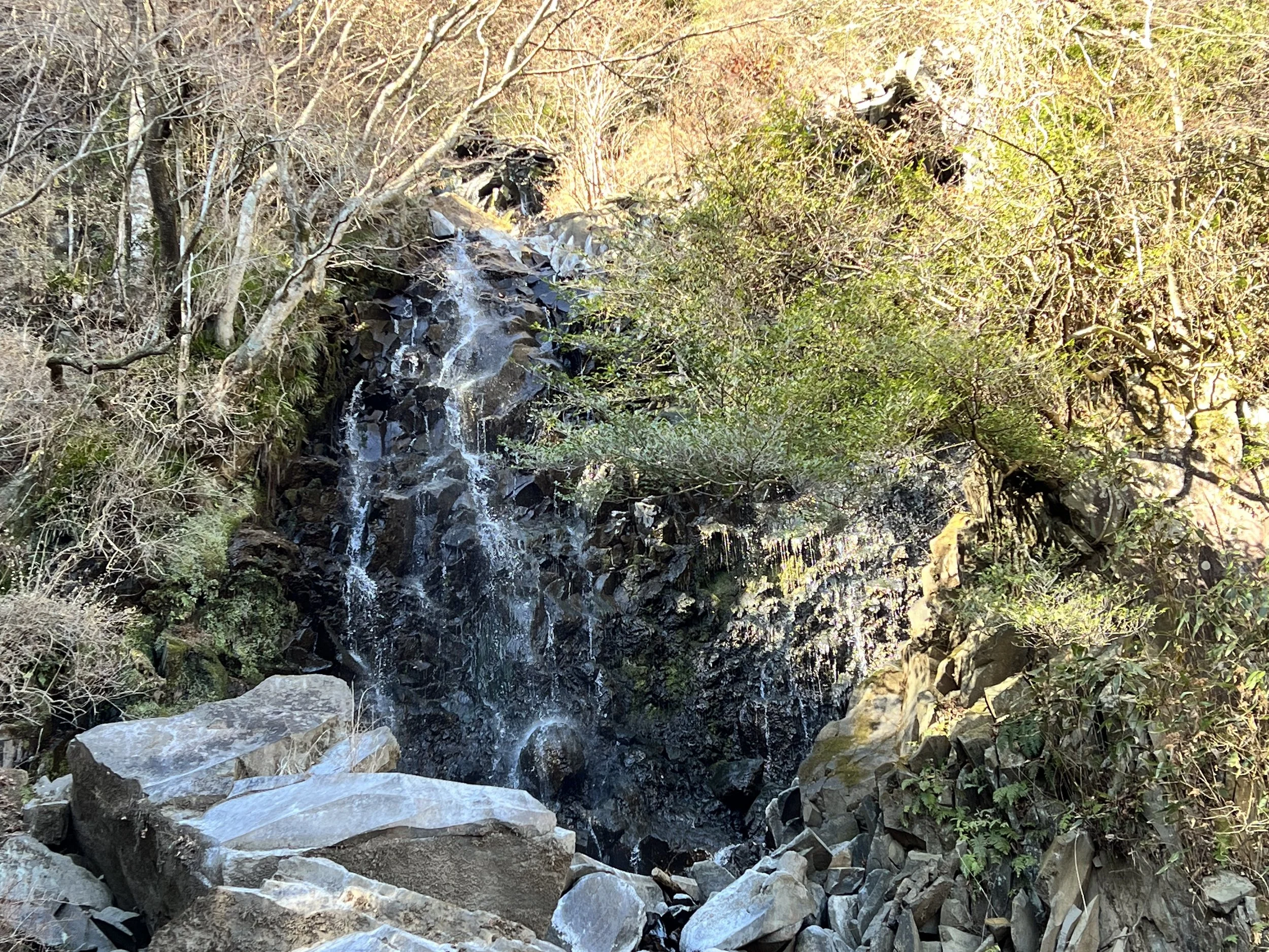
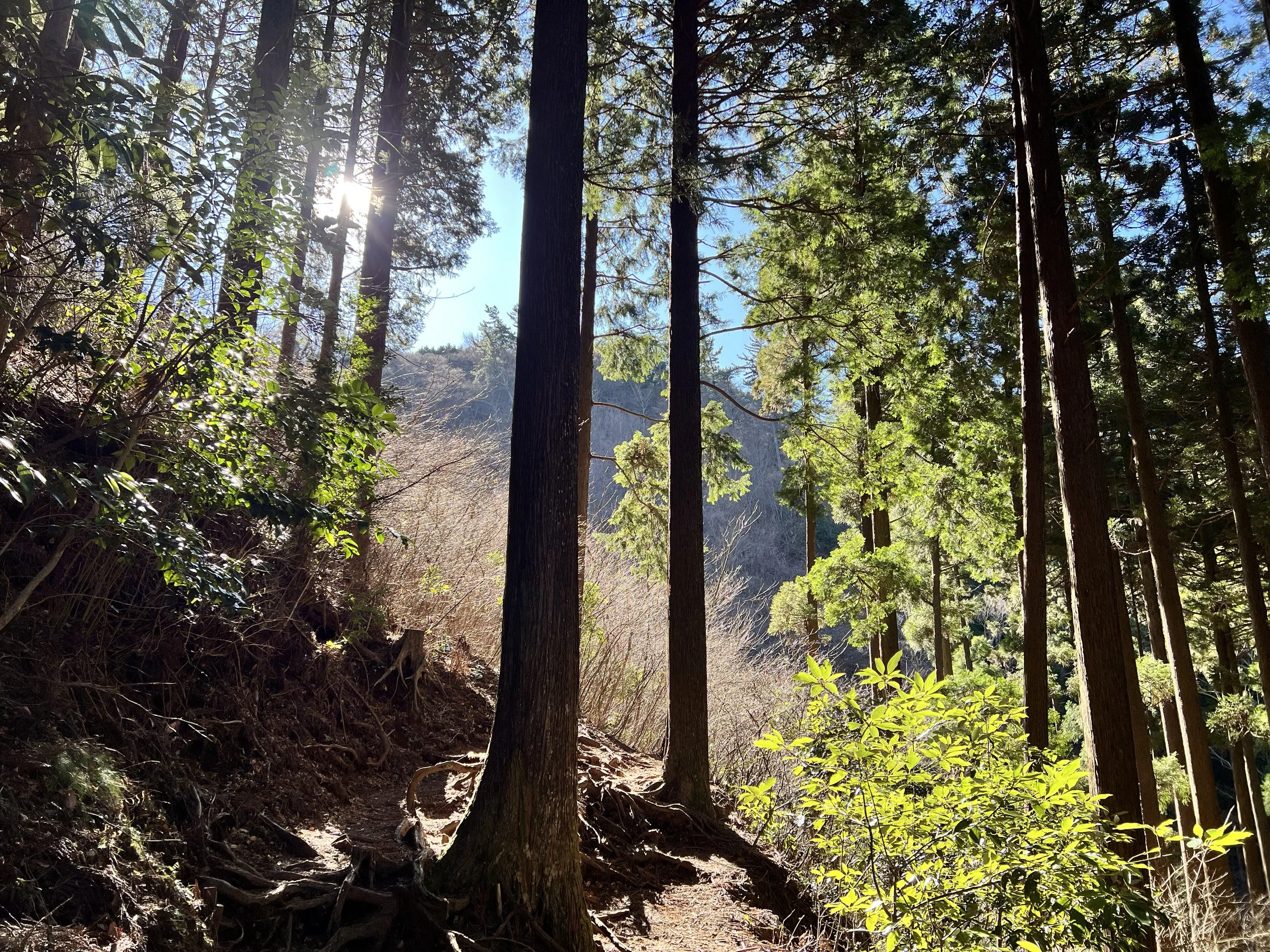
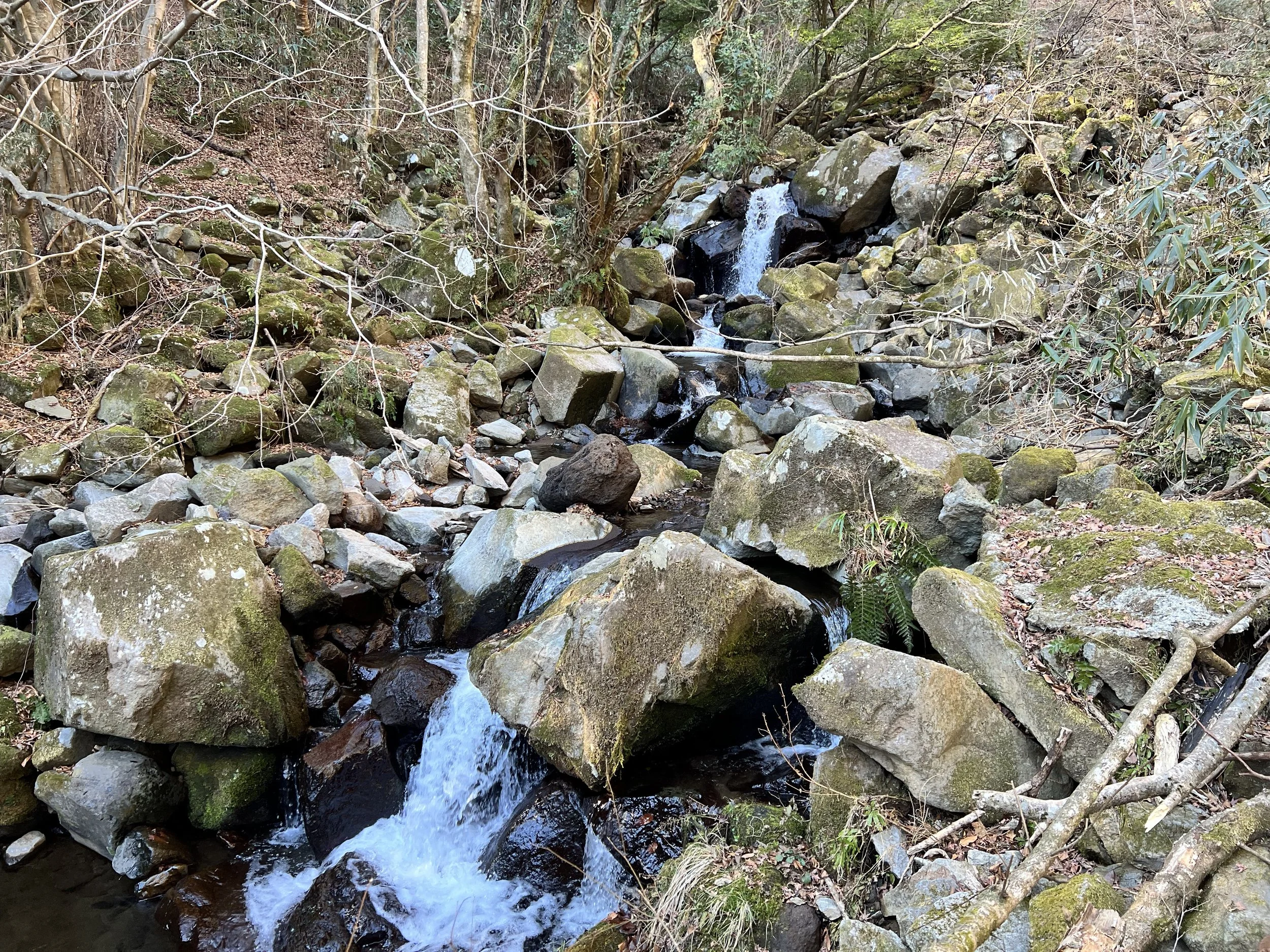
The hike to Mt. Takanosuyama passed through a denser forest, offering welcome shade after the open fire break. Sunlight filtering through the trees gave the trail a magical feel. At the summit, there wasn’t much to see except a sign marking a castle ruin that once stood there. After lingering briefly, I continued toward Hiryu Falls ("Flying Dragon" Falls). This section felt more rugged, especially near the waterfall. The trail hadn’t been maintained for a while. Just before the falls, I met four younger hikers unsure about crossing the stream, which was a bit high. I went first, and they followed carefully. The waterfall itself wasn’t impressive—likely better during summer when the flow is stronger.
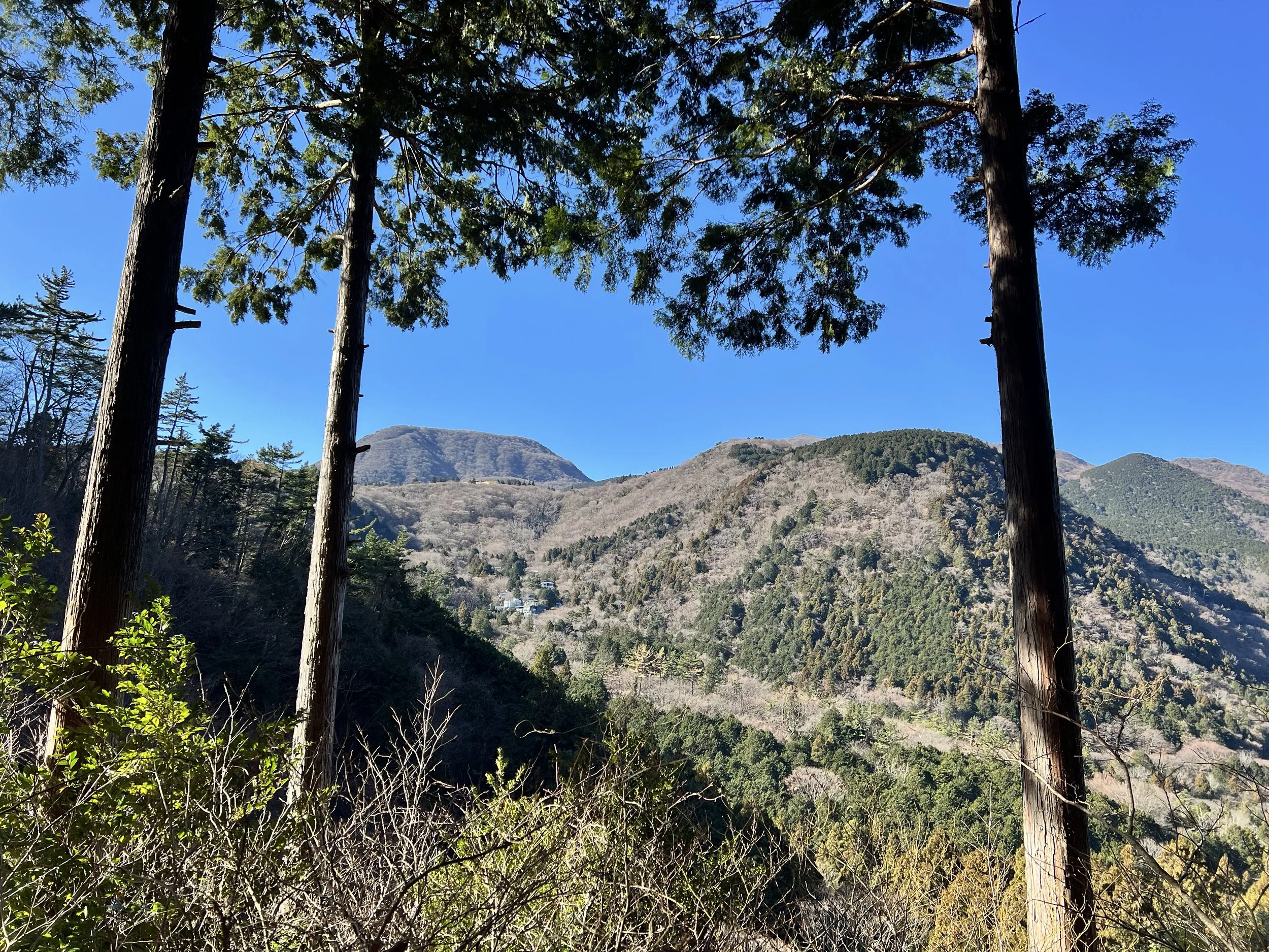
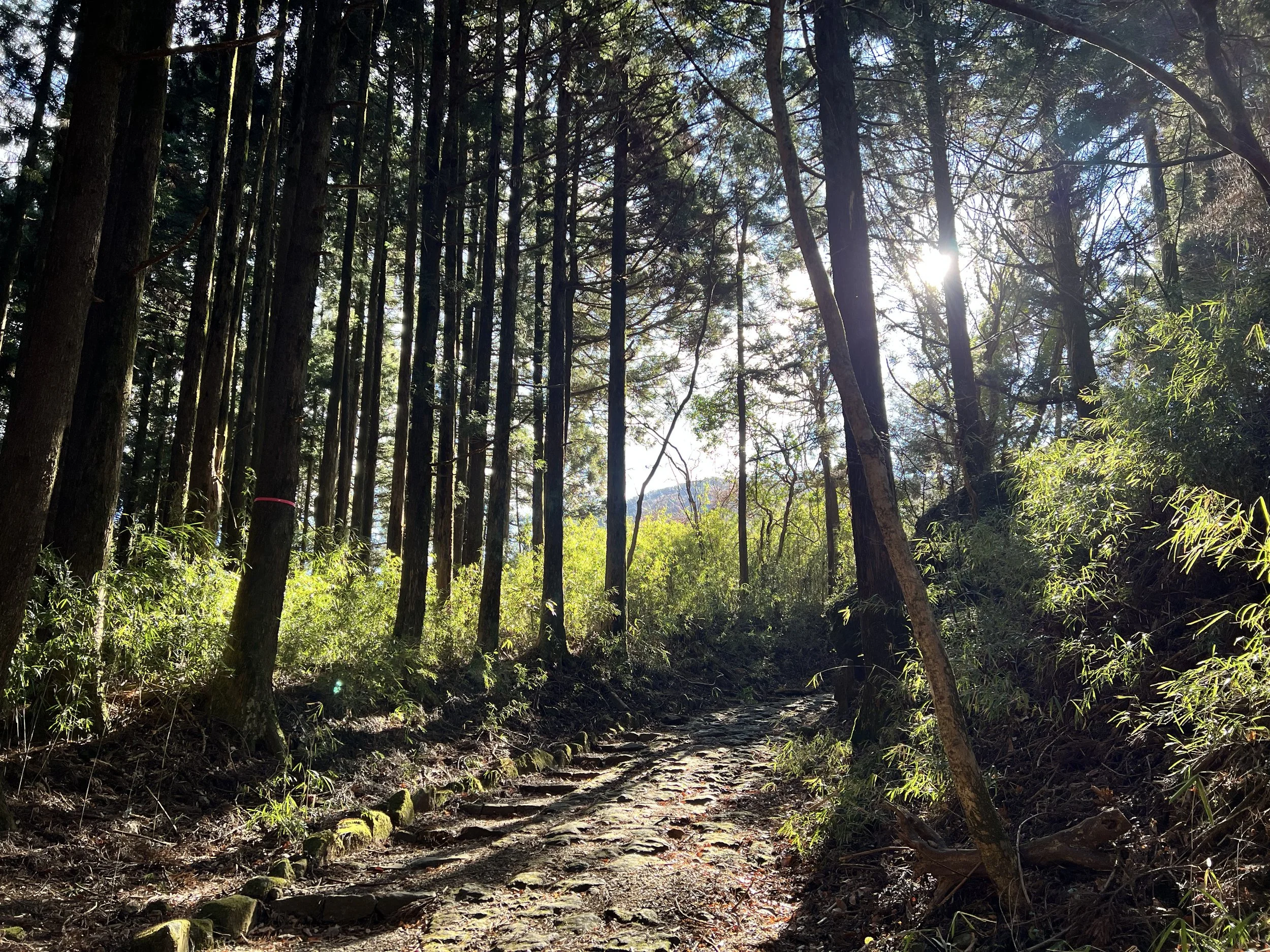
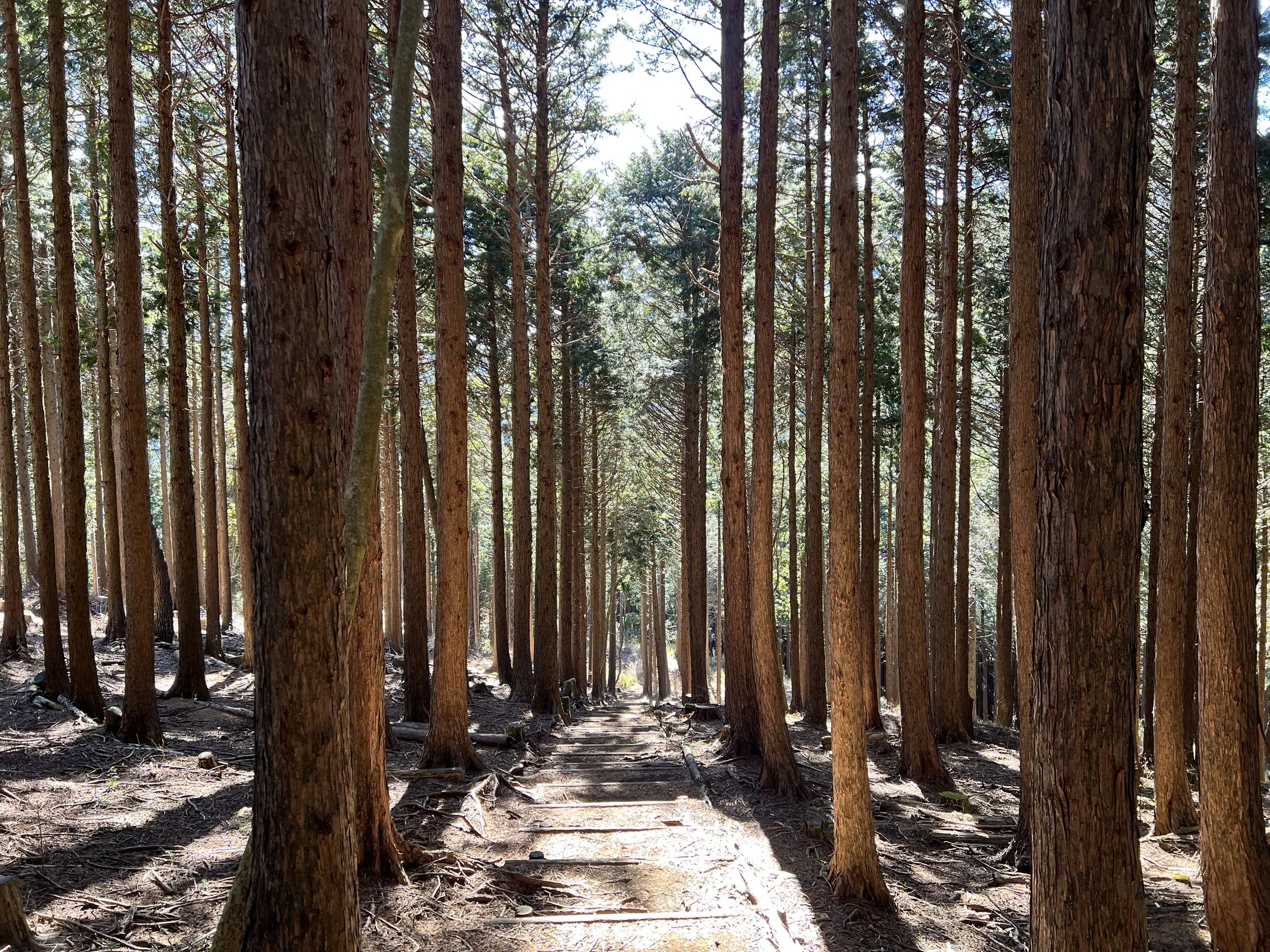
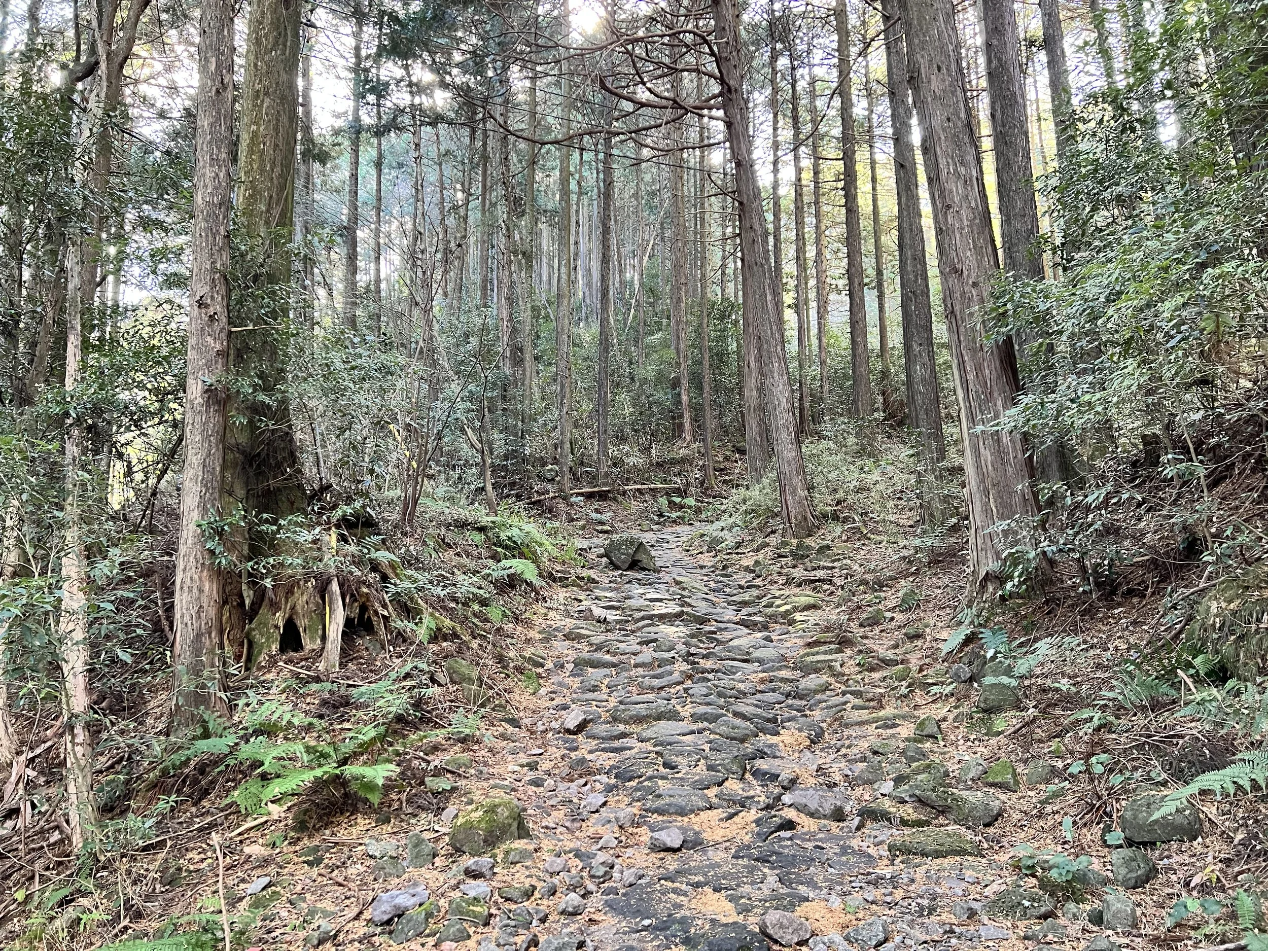
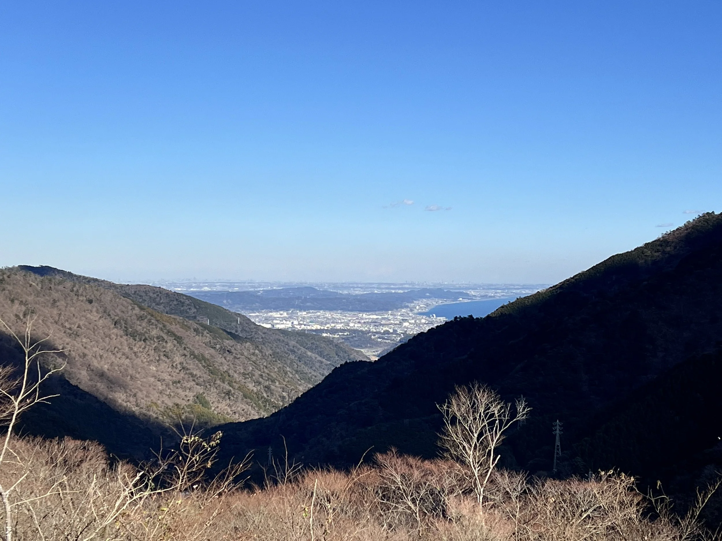
Descending toward Hatajuku, I walked along a busy road before joining the Old Hakone Path—a historic trade route with stone sections to drain water. The uneven stones required focus, but walking through the cedar-lined trail was stunning. The path eventually joined a winding mountain road, with stairs cutting through to save distance. Near the top, a tea house offered a gorgeous view of the town and Lake Ashi below.
I continued toward Motohakone, keeping an eye on the bus schedule. With about ten minutes before the bus—and still two kilometres to go—I hurried the last section, arriving with just two minutes to spare. Overall, it was a wonderful mix of nature and historical discovery.
History & Background
Mt. Sengen – Mt. Sengen (804 m) is a gentle introduction to hiking in Hakone, associated with Sengen shrines dedicated to the goddess of volcanoes, Konohanasakuya-hime. It has long been part of local pilgrimage routes.
Chisuji Falls – Chisuji Falls (“thousand threads”) is a small waterfall, named for its thin streams spreading across a wide rock face. It’s a classic scenic spot for hikers.
Mt. Takanosuyama & Castle Ruin – Mt. Takanosuyama rises to about 830 m and once hosted a castle during the Sengoku period. Today, only a marker remains, hinting at its historic strategic importance.
Hiryu Falls – Hiryu Falls (“Flying Dragon”) twists over rocks in a dragon-like flow. Modest in size, it’s a notable scenic highlight, especially during the rainy season or summer snowmelt.
Old Hakone Path – The Old Hakone Path is a historic trade route linking Hakone Pass to Motohakone and Lake Ashi. Its stone-paved sections drained water and prevented erosion, guiding merchants, pilgrims, and locals for centuries. It remains a picturesque, historically rich trail.
Getting There
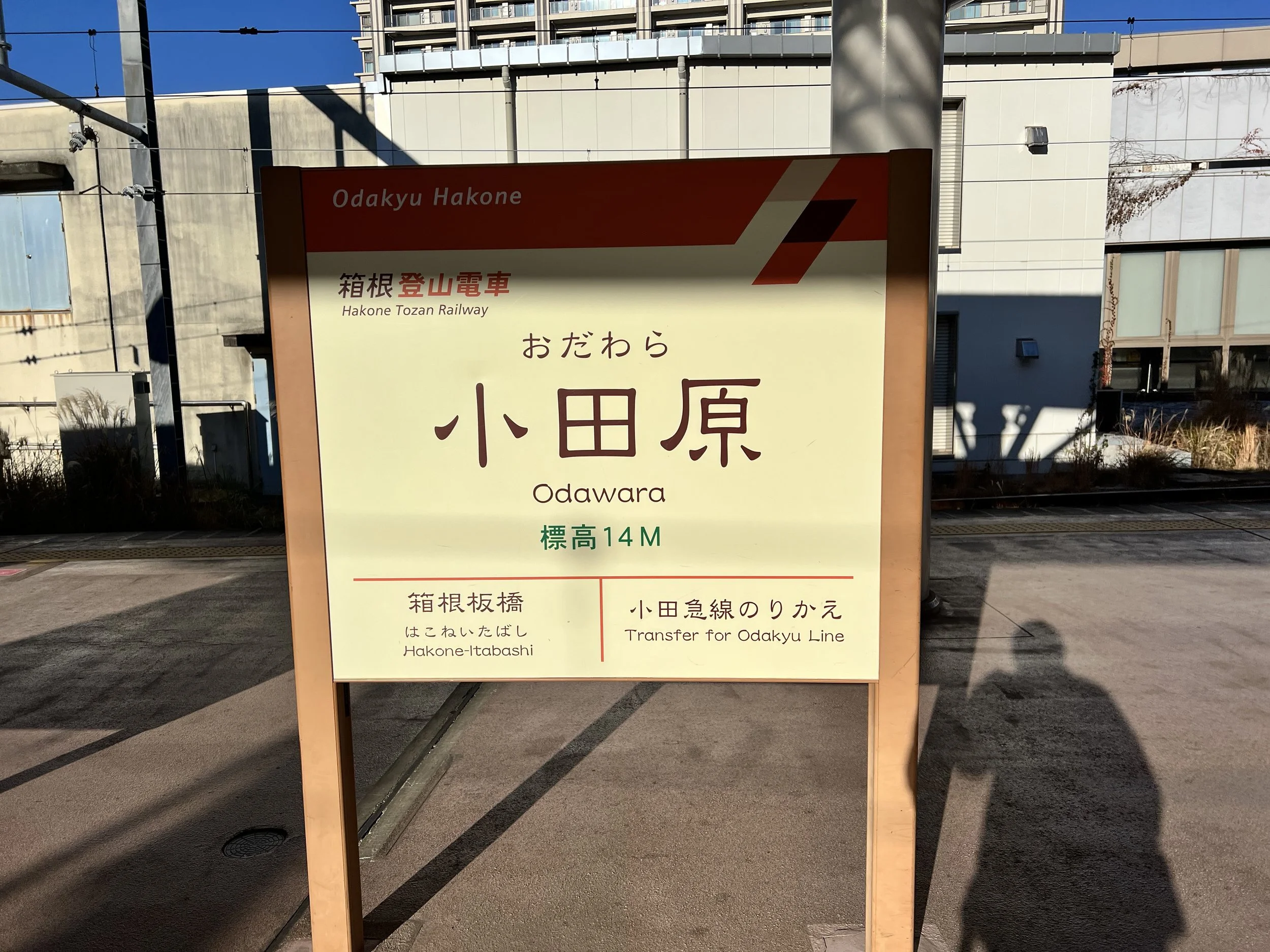
There are several ways to reach Hakone from Tokyo, depending on whether you prioritise speed, convenience, or scenery. The fastest option is the Shinkansen (bullet train) from Tokyo or Shinagawa Station to Odawara Station, which takes about 35–40 minutes. From Odawara, you can transfer to the Hakone Tozan Railway, local trains, or buses to reach Hakone-Yumoto and other areas.
For a more scenic route, the Odakyu Railway offers a direct train from Shinjuku to Hakone-Yumoto, passing through the picturesque Odawara area. Highway buses are another option, providing a comfortable ride from central Tokyo with stops at major Hakone destinations.
I started my journey at Kawasaki Station, where I was staying. From there, I took the Tokaido Line to Odawara Station, then transferred to the Hakone Tozan Line to reach Hakone-Yumoto Station. The journey from Kawasaki took about an hour and a half, passing through both city and countryside.
Route Overview
Distance: 17.63 km (Hakone-Yumoto Station → Motohakone Bus Stop)
Total elevation gain: 1,458 m
Duration: 4 hr 35 min (with breaks 4 hr 55 min)
Difficulty: Hard
Peaks: Mt Sengen 浅間山 804m, Mt Takanosuyama 鷹巣山 834m
Cost Breakdown
Train: Kawasaki Station → Hakone-Yumoto Station — ¥1,530