Maple Yaba Cycling Road - Oita, Japan
I discovered the Maple Yaba Cycling Road only after arriving in the Nakatsu area. One of my original plans was to rent a car for two days to explore some of the more remote parts of Oita, but after a bit of research, I realized this former railway line connected several of the sights I wanted to visit in Yabakei. In the end, I decided to keep the car rental to a single day for the truly out-of-the-way spots and explore the Yabakei area on foot instead.
The Maple Yaba Cycling Road is a scenic 36-kilometre route that runs between Nakatsu City and Yamakuni Town. It follows the path of the former Yabakei Railway, which has since been repurposed into a dedicated cycling route. At first, I assumed the trail was limited to cyclists only, but after looking into it further, I learned that pedestrians are also welcome. With that settled, I planned a one-way walk that would allow me to hit several key highlights without needing to backtrack.
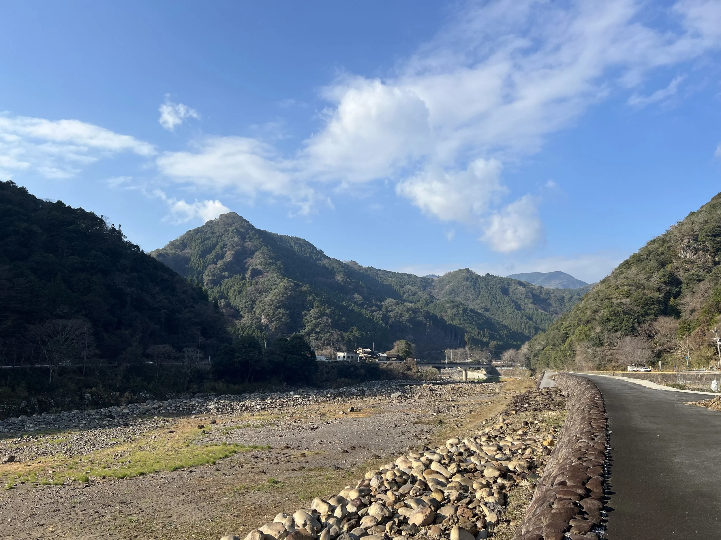
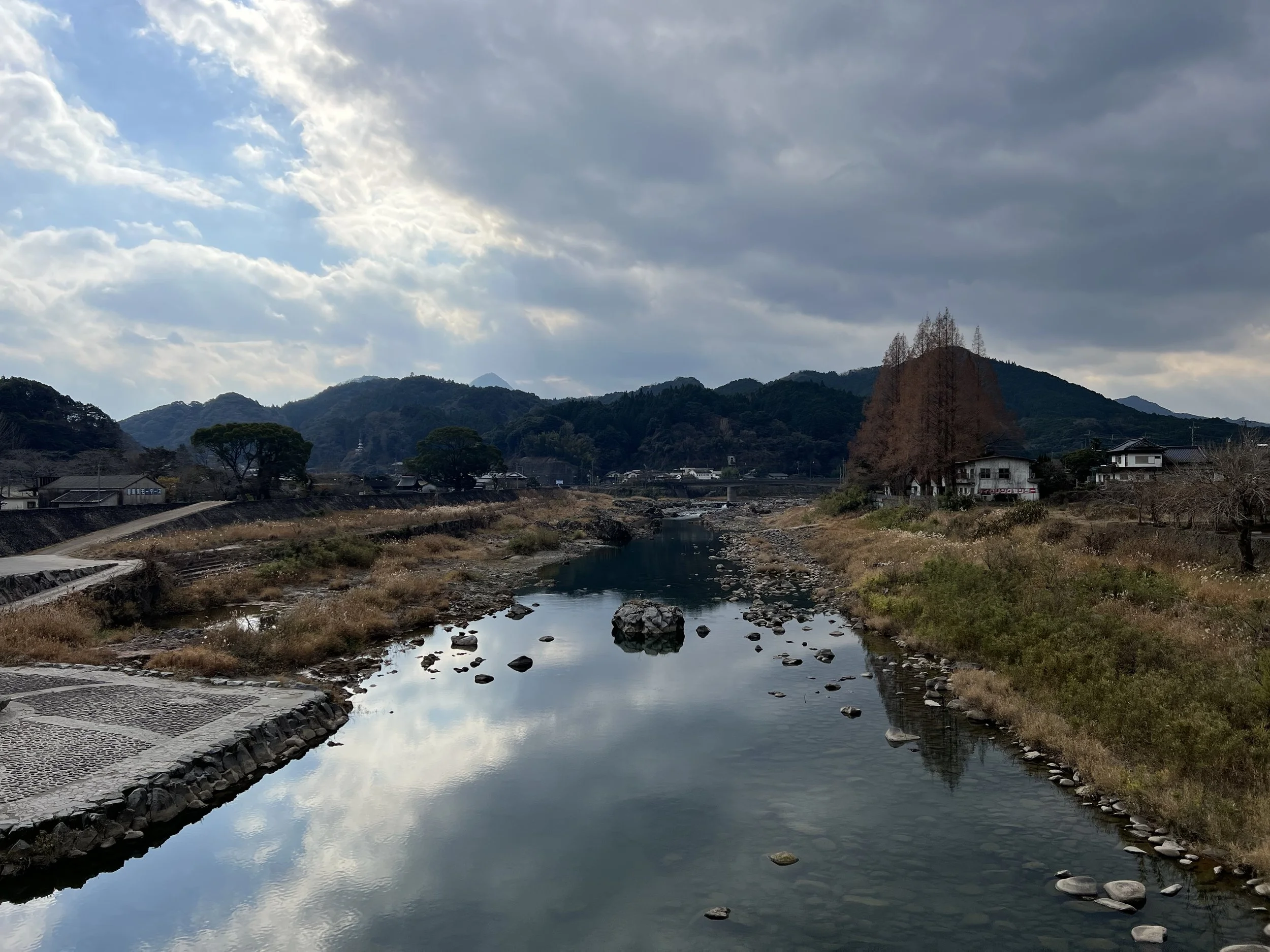
I took the bus from Nakatsu Station to the Kakisaka Bus Stop, planning to finish my walk at Aonodomon Tunnel. Even the bus ride was enjoyable, passing through quiet valleys and giving me a preview of the landscapes I would soon be walking through. Once I set off, the atmosphere immediately felt different — the Yamakuni River flowed calmly on one side, the former railway corridor guided the route, and the surrounding mountains and rural scenery created a peaceful rhythm that made the distance feel easy.
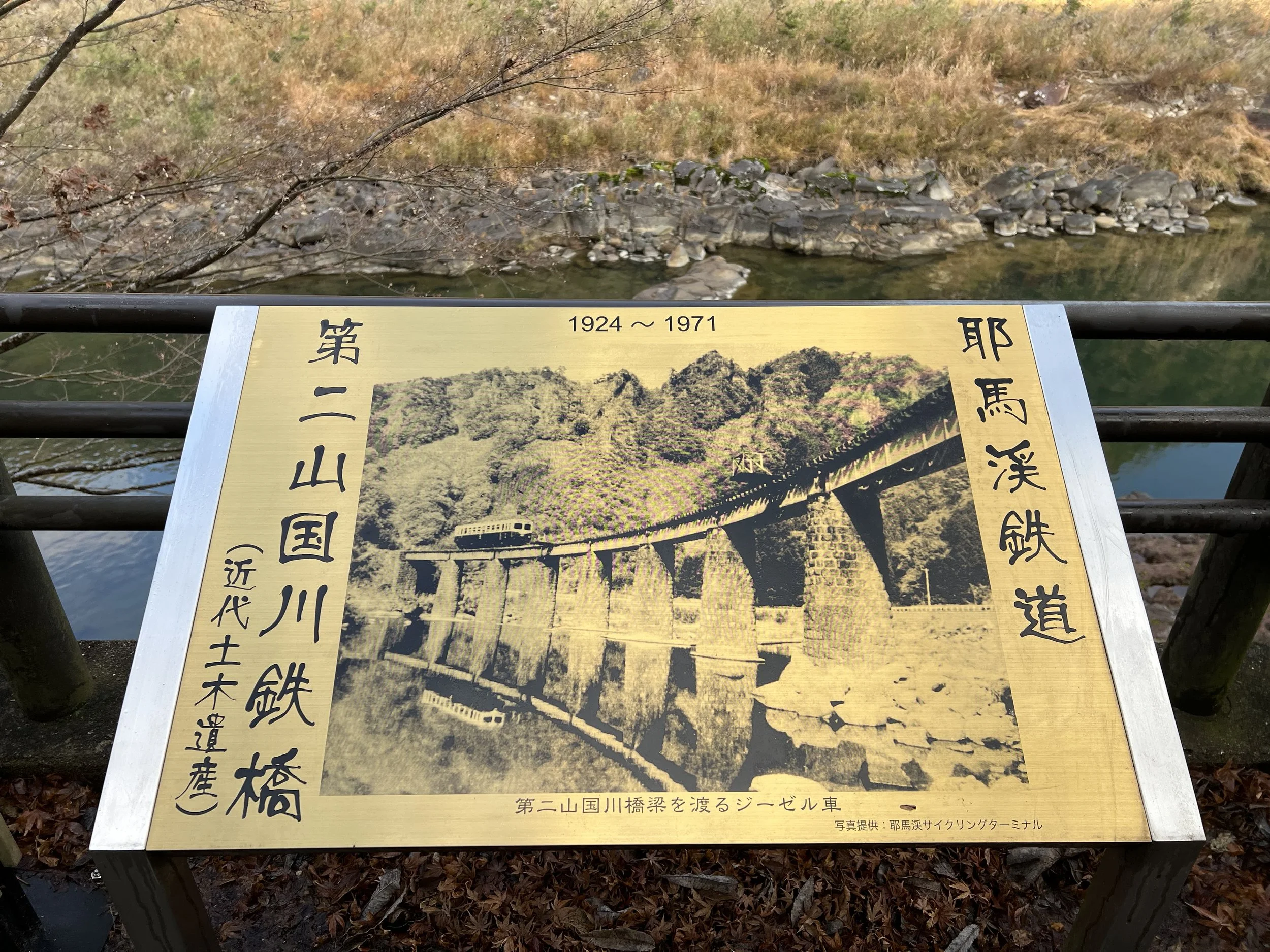
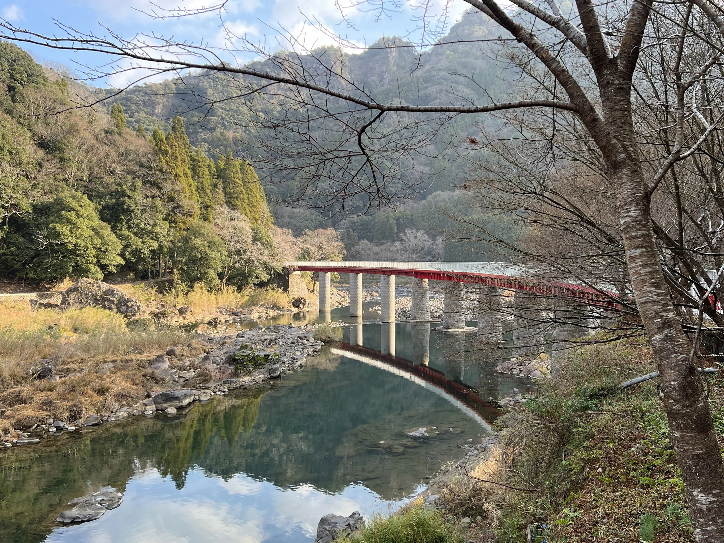
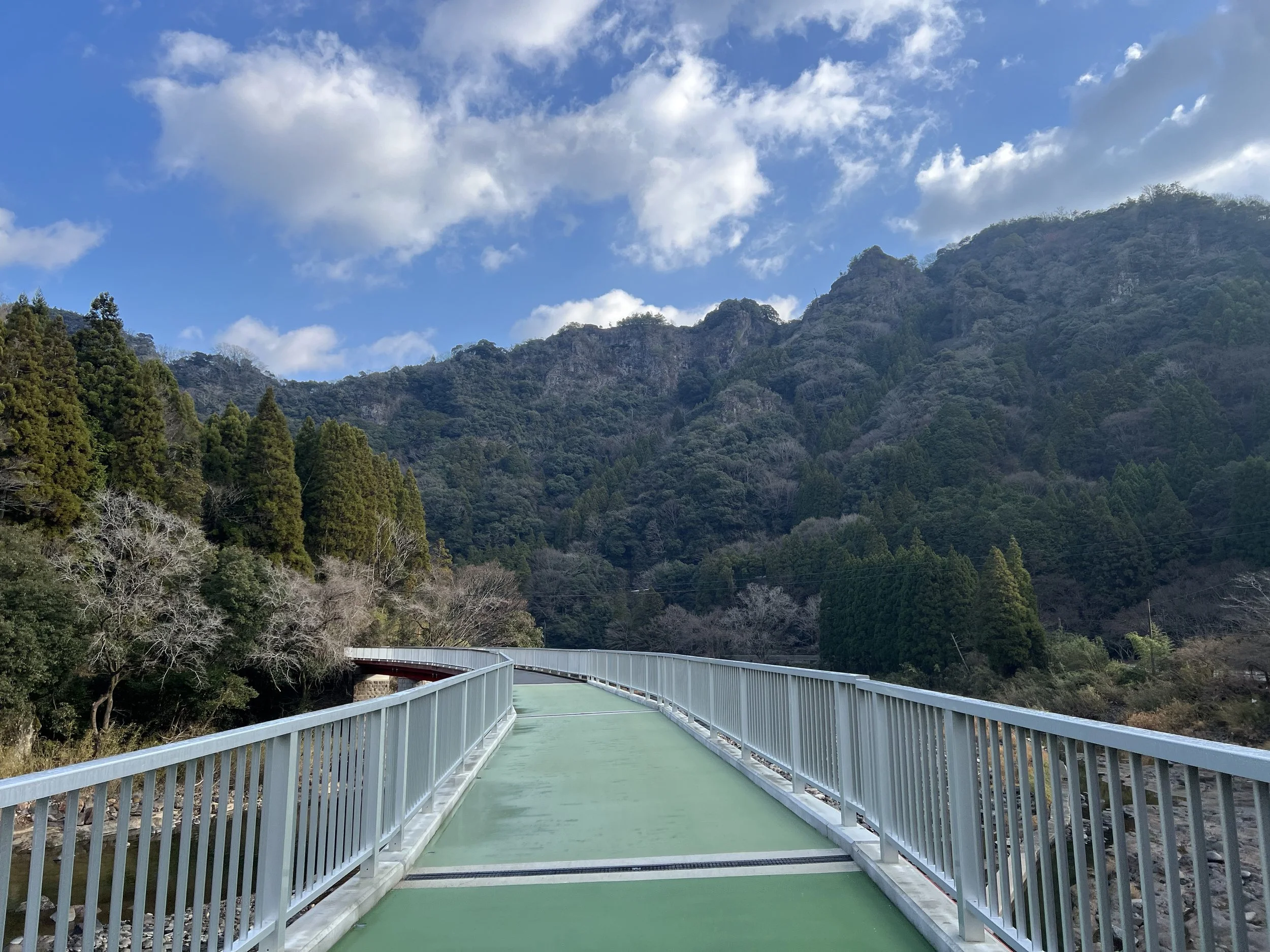
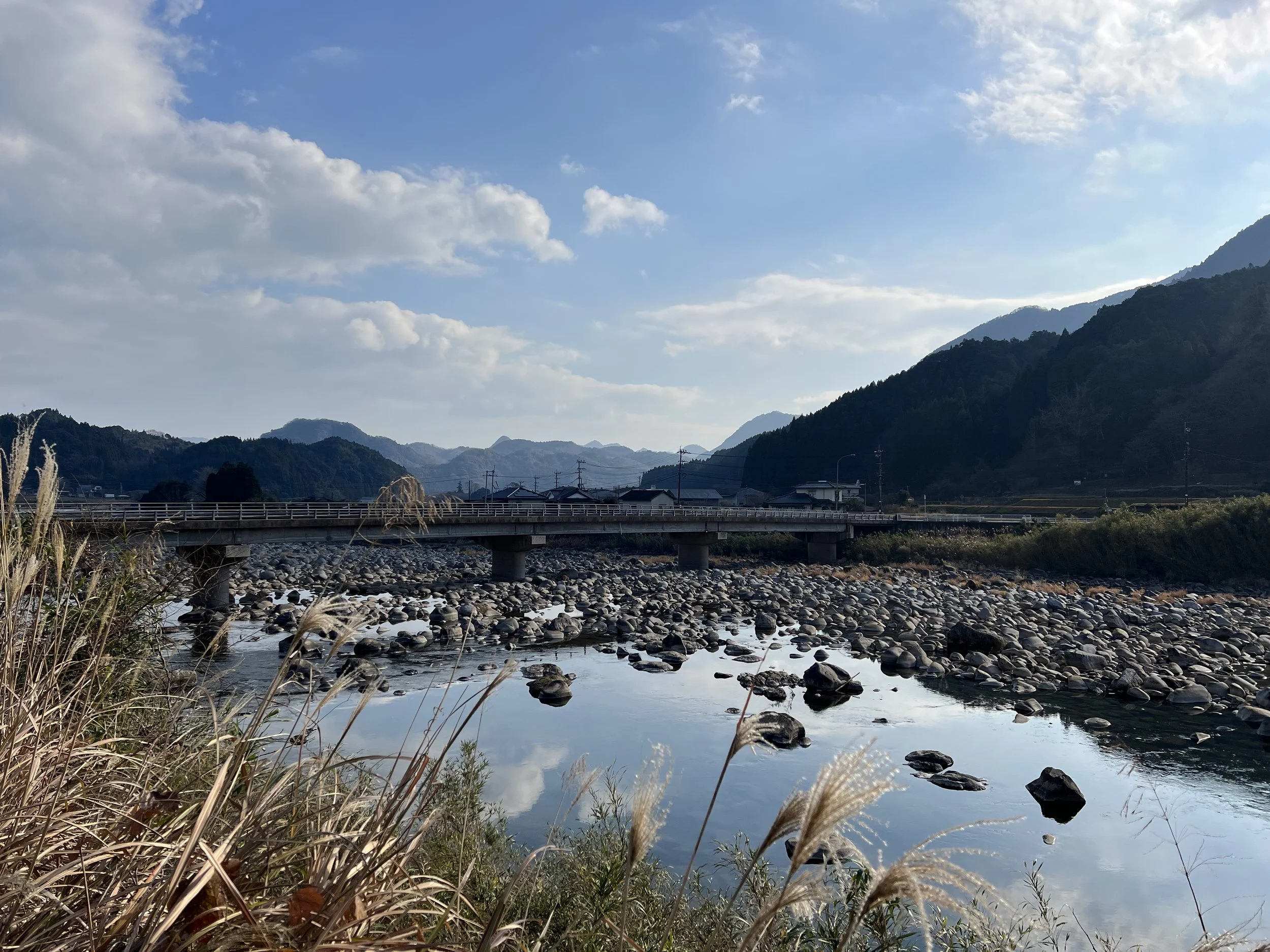
My first stop was the Yamakuni River Bridge, an old railway bridge that has since been restored. The original structure was damaged by torrential rains in 2012, with part of the bridge washed away, but the rebuilt version fits beautifully into its surroundings. With its gentle curve, stone construction, and mountain backdrop, it felt like the perfect introduction to the route. The air was calm, and the mountains reflected softly in the river below. I moved around the area for a while, trying to find the best angle before crossing the bridge and continuing on.
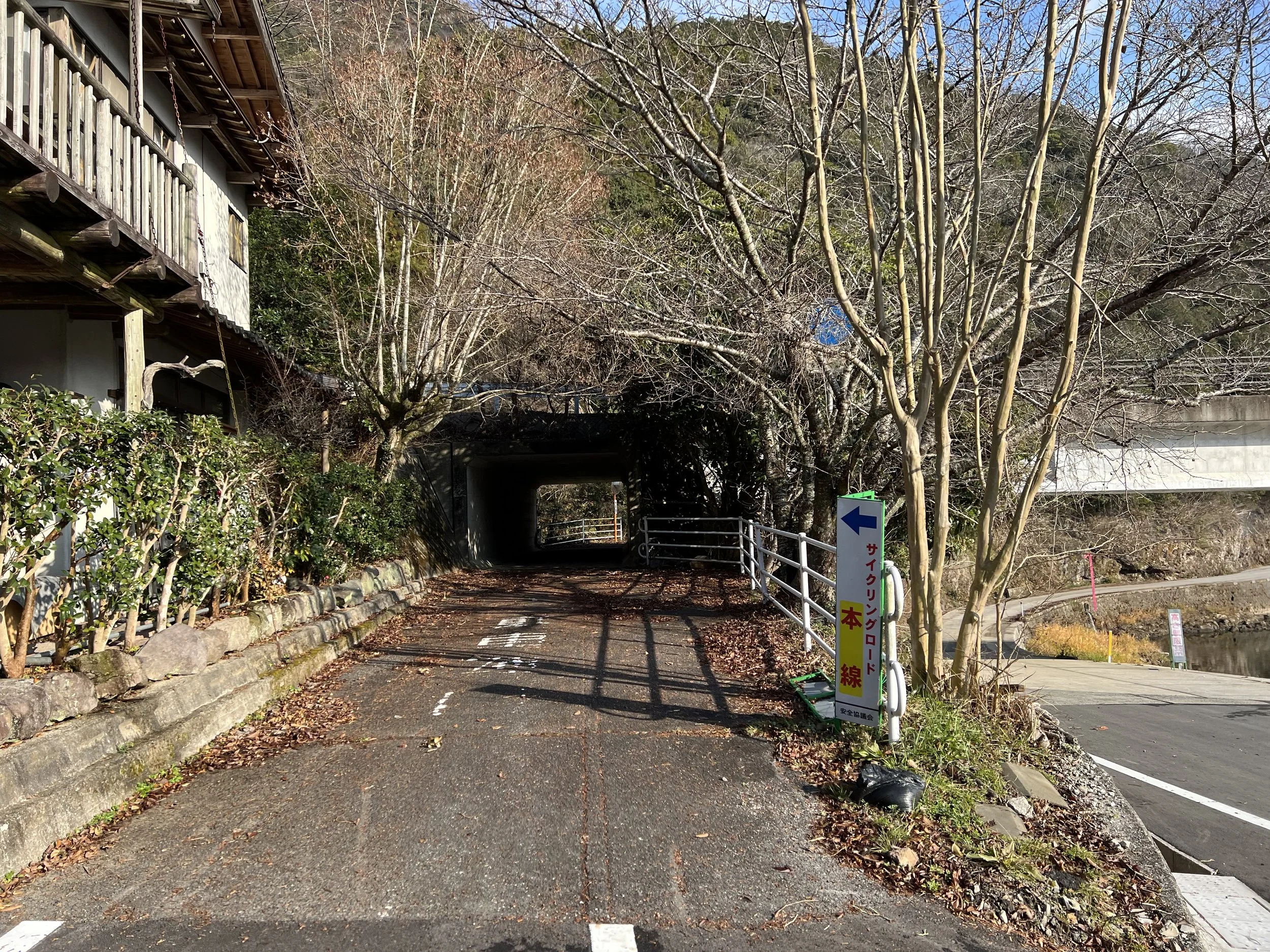
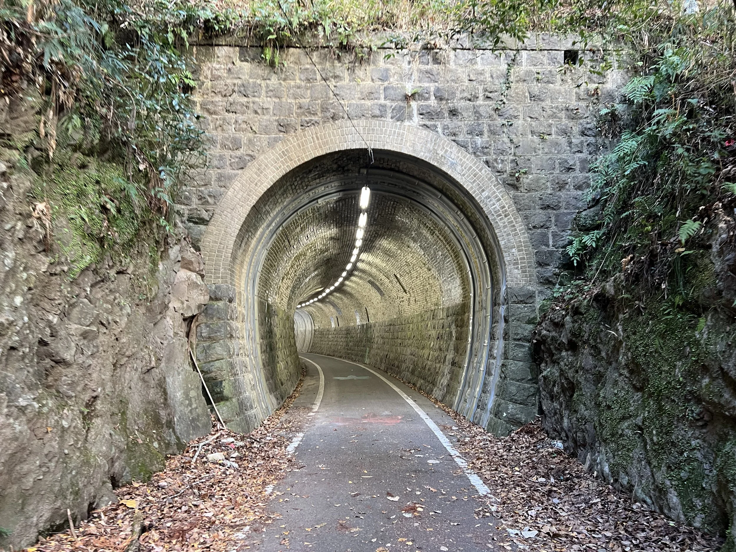
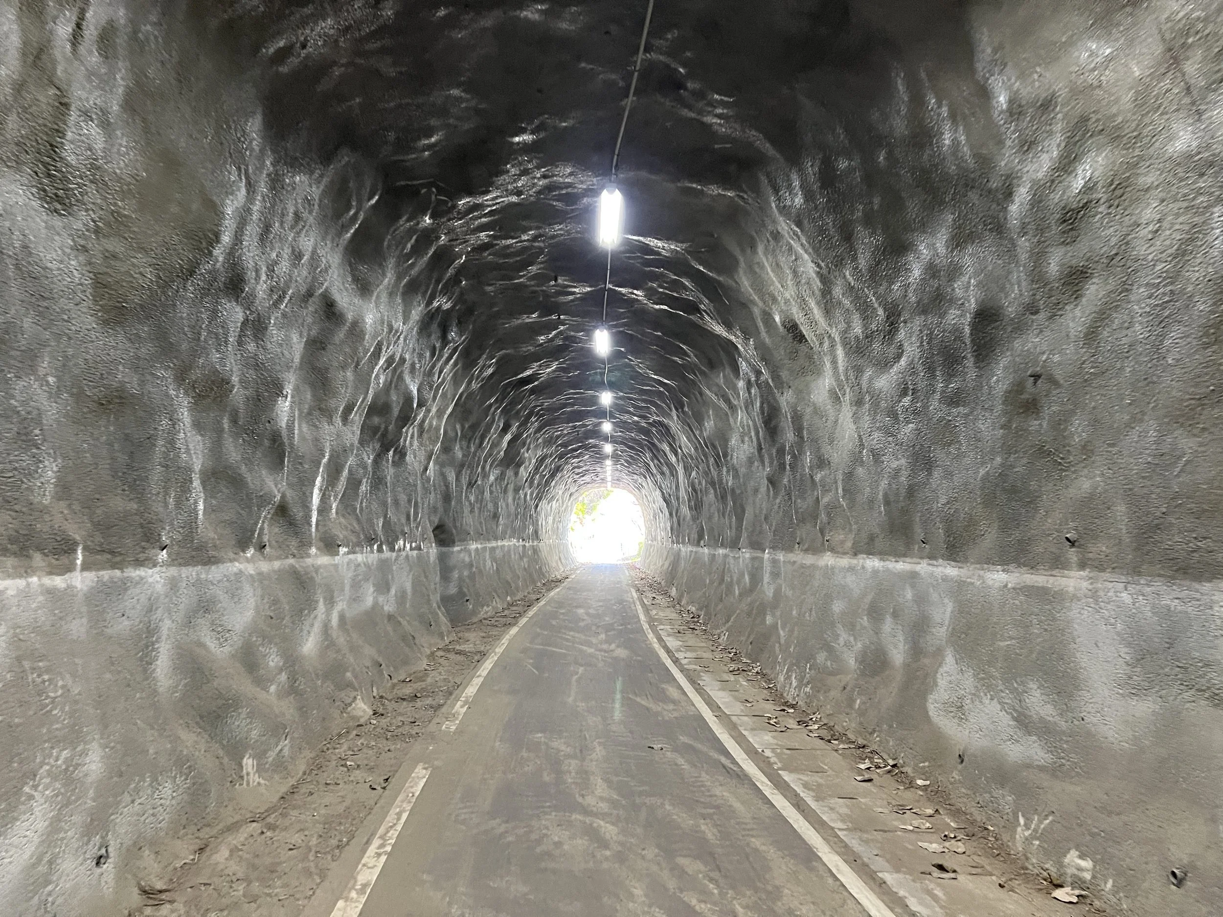
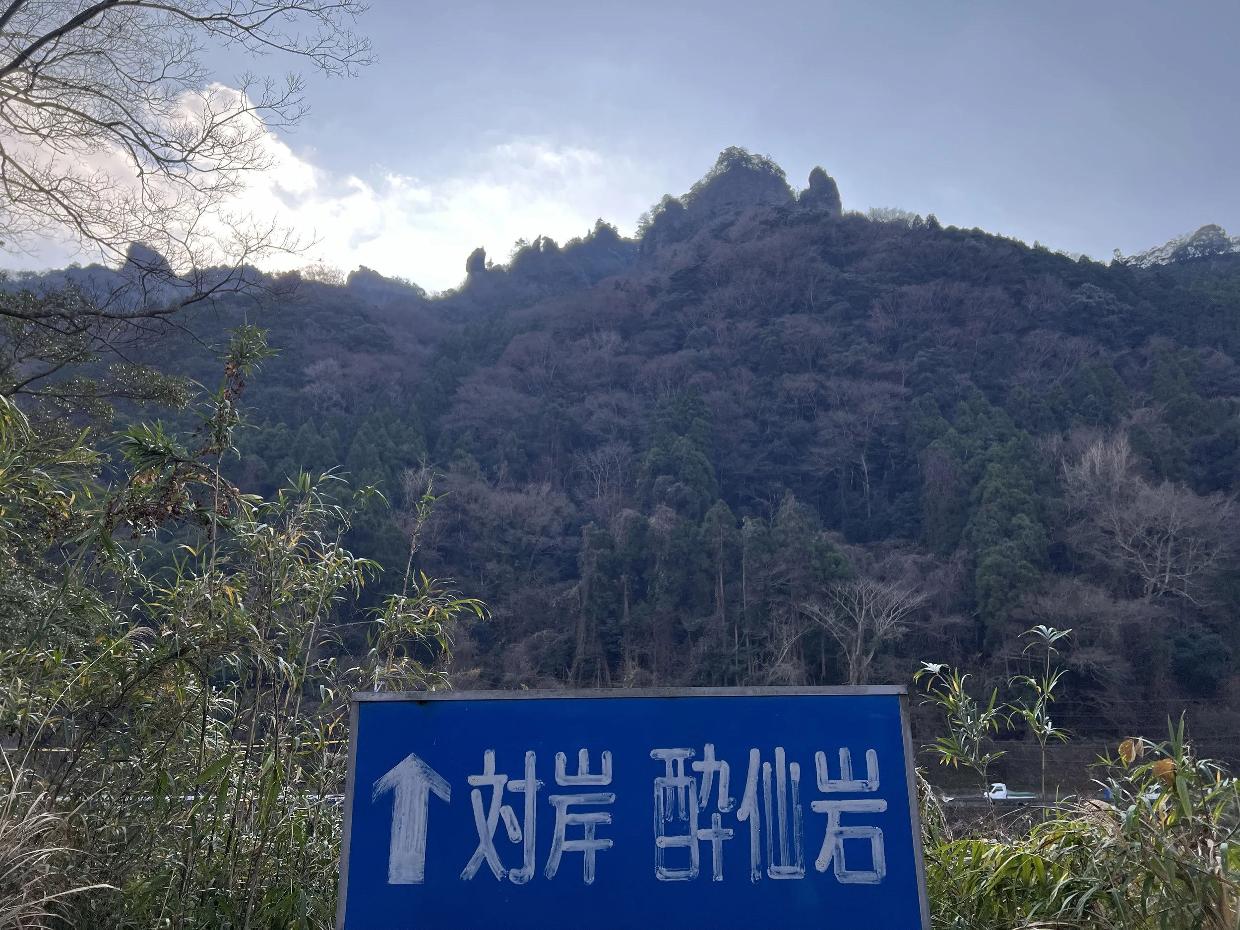
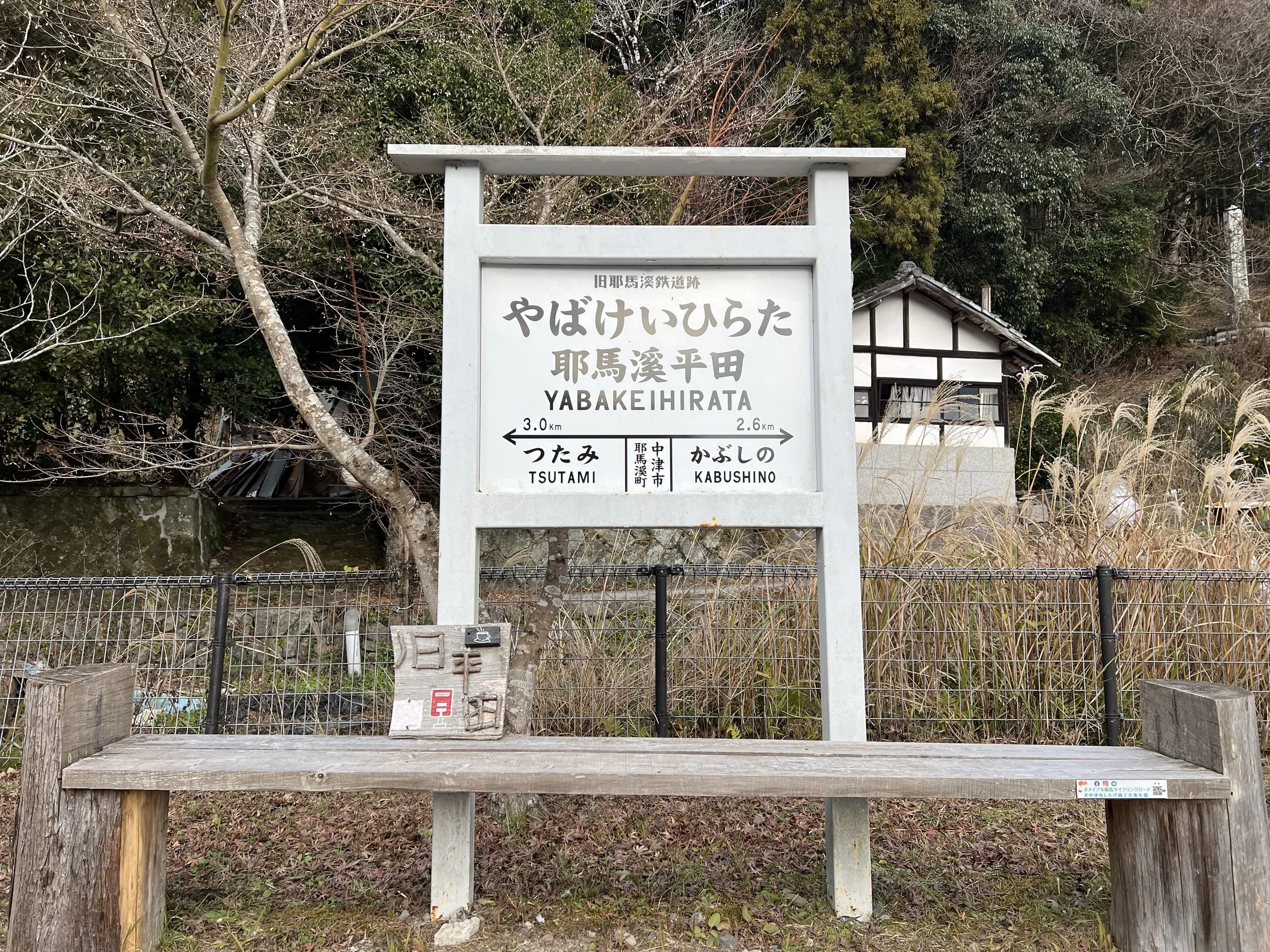
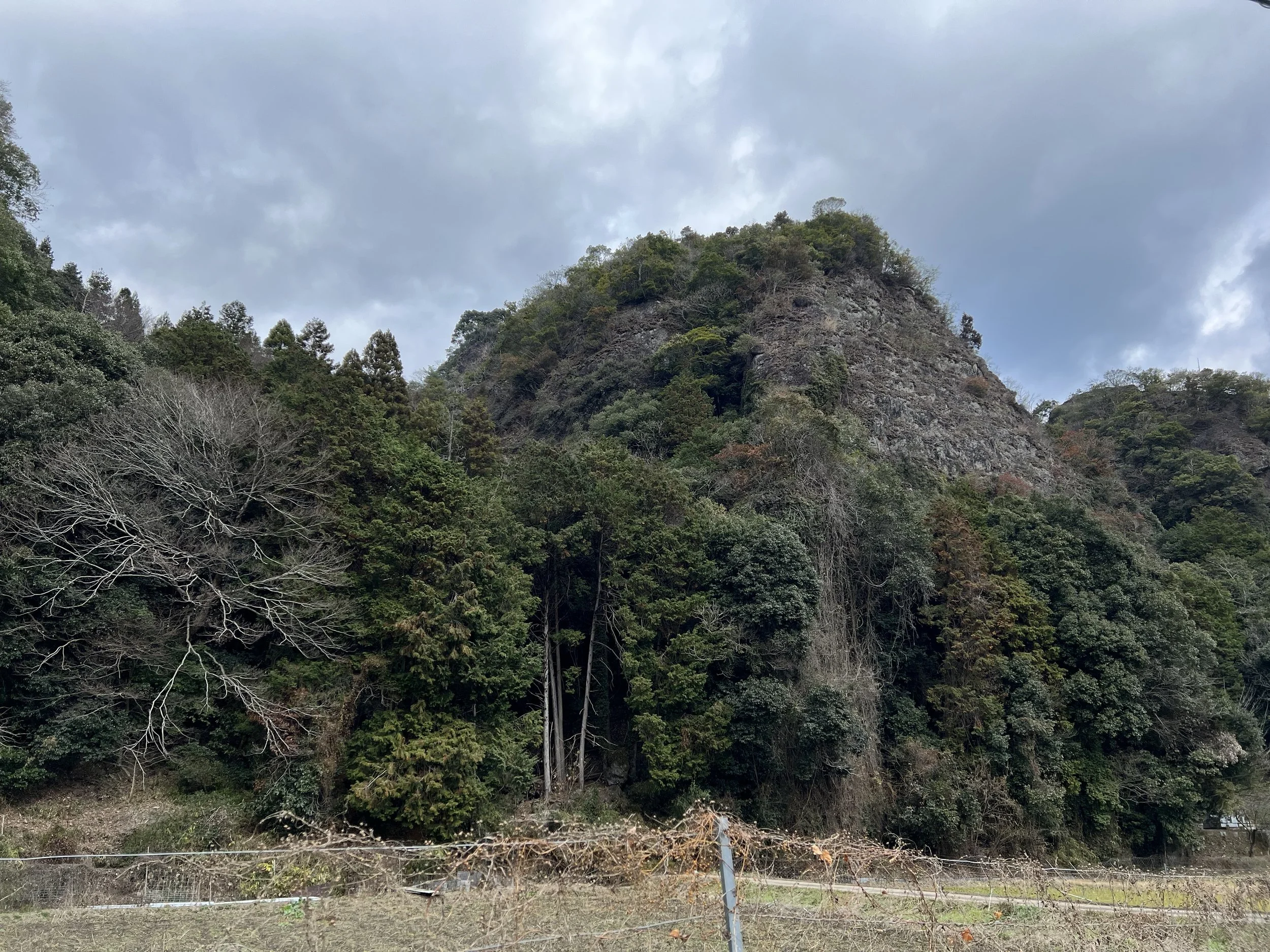
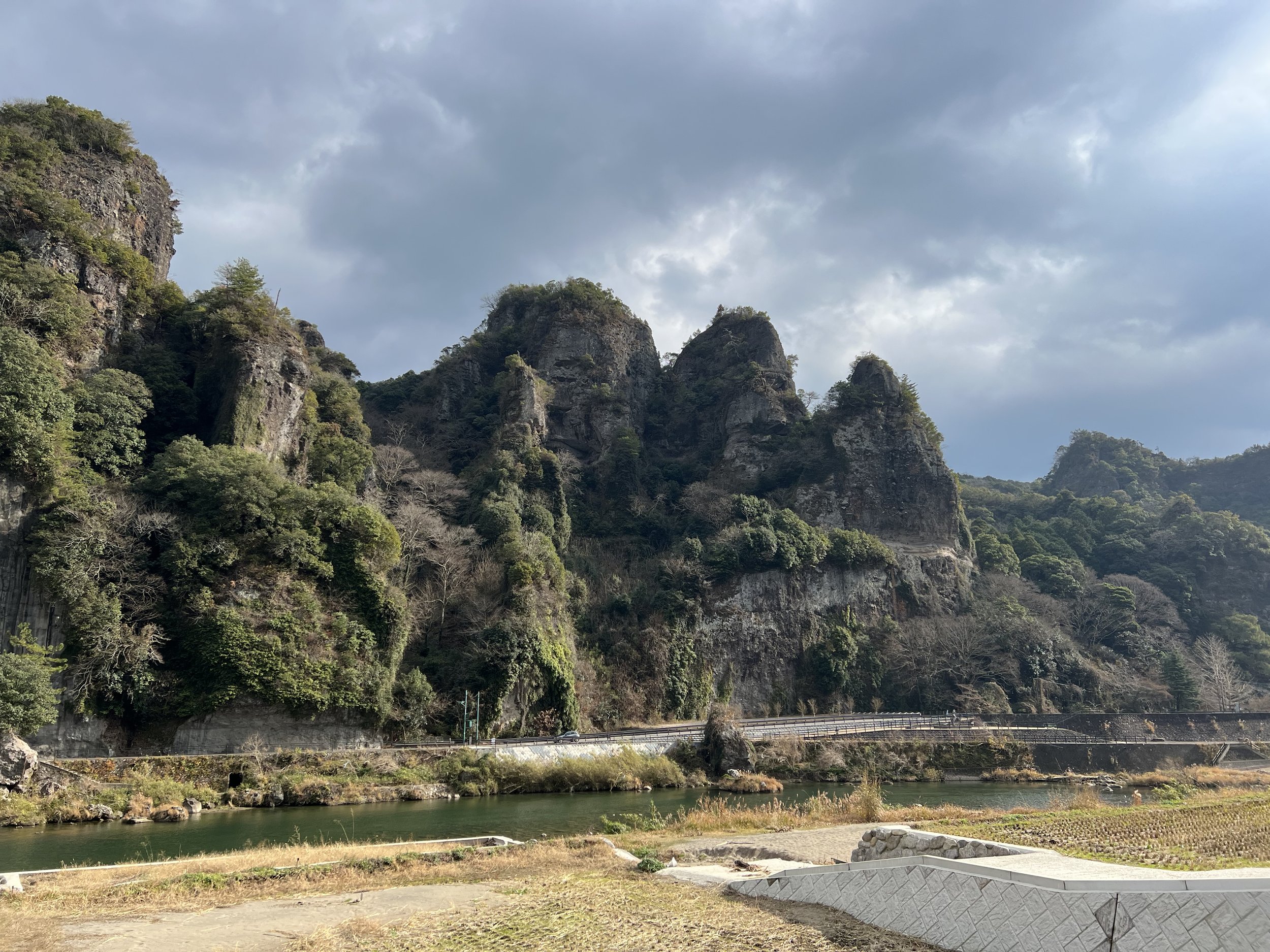
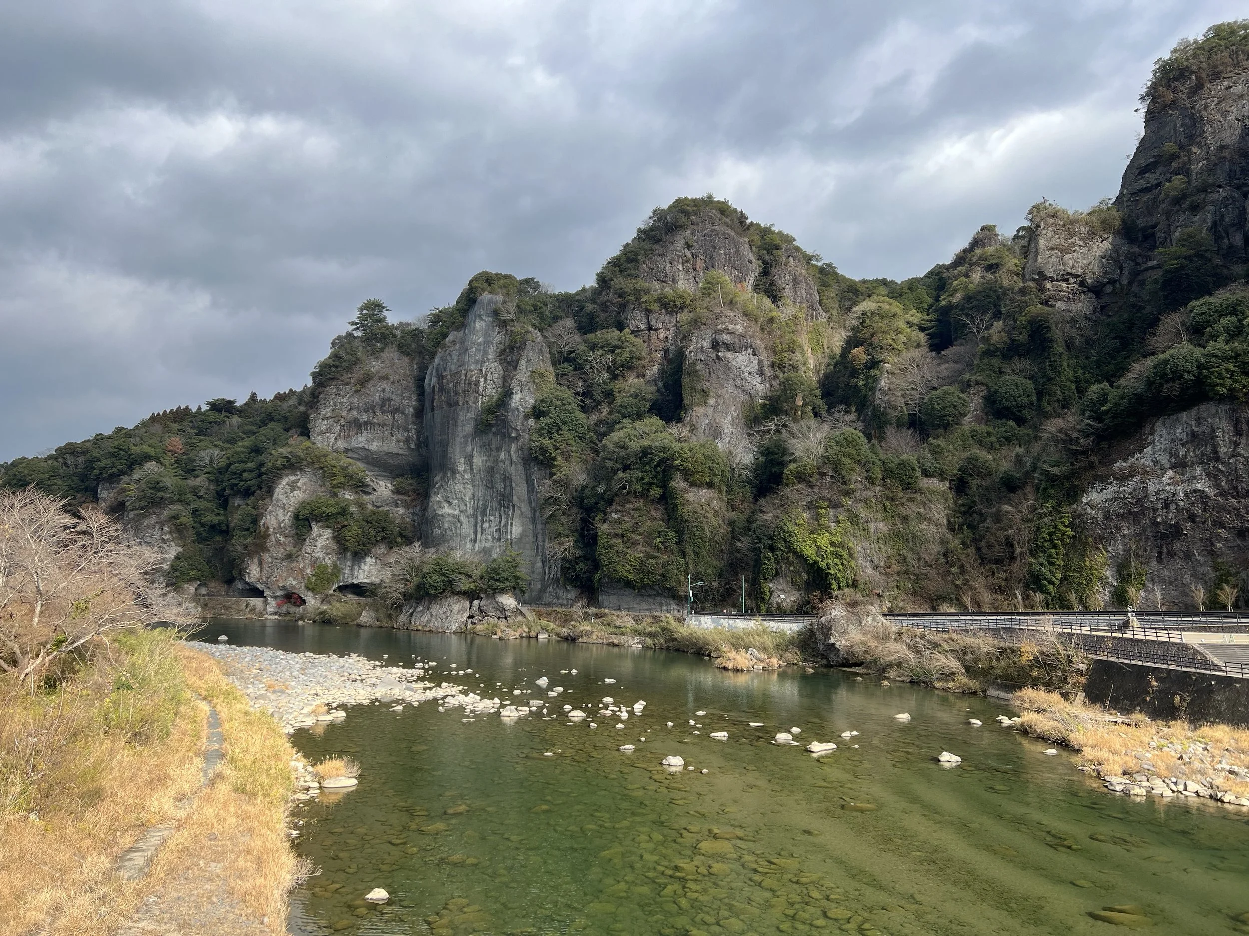
After crossing, the trail passed through a short tunnel before opening up to more expansive views. Because this route was once a railway line, remnants of its past remain visible along the way. Old station signs still mark where stops once stood, and informational panels point out notable rock formations carved by time and water. The next landmark I was looking forward to was Bakeibashi Bridge.
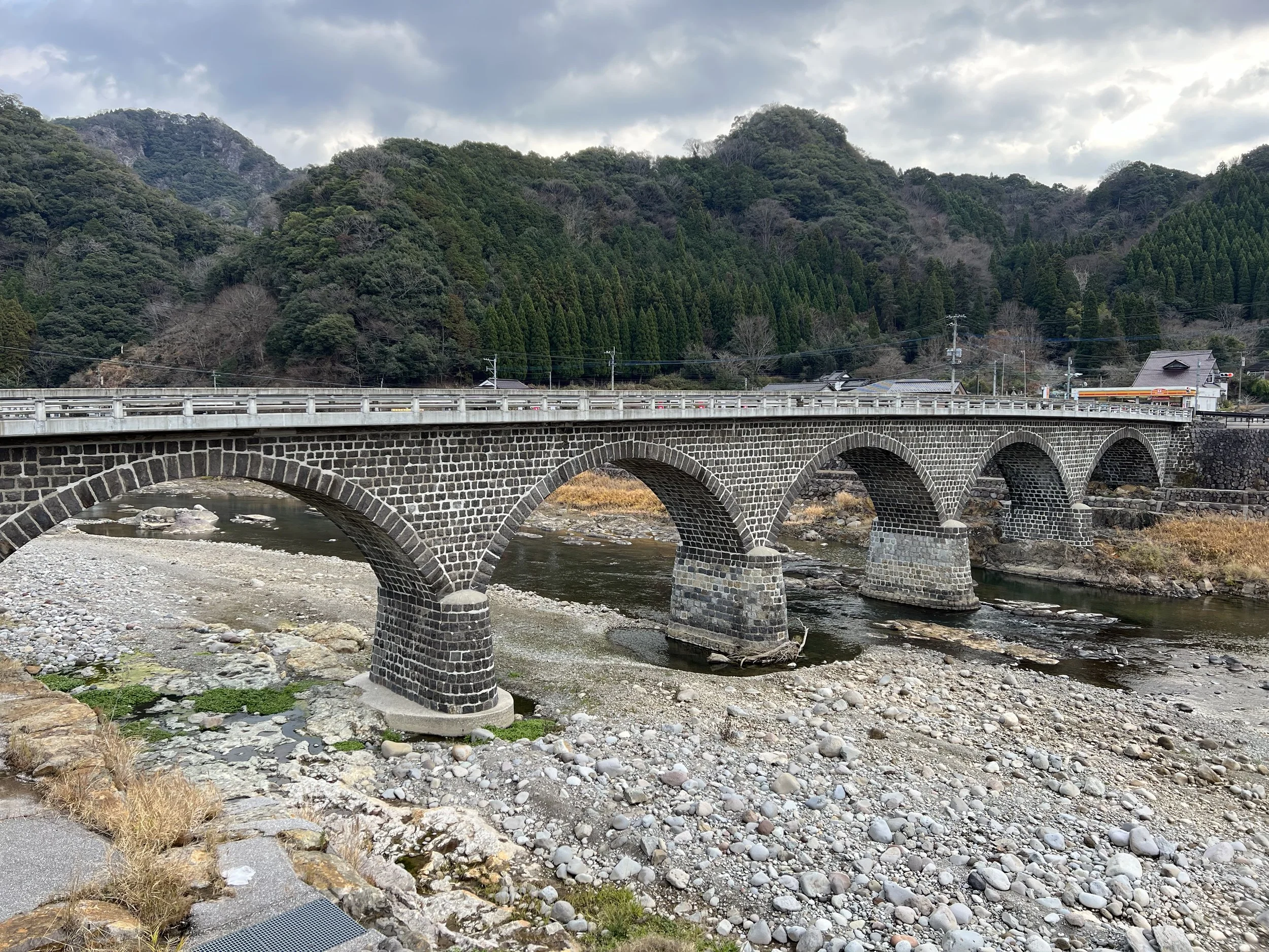
Bakeibashi Bridge spans the Yamakuni River with five elegant stone arches and is considered one of the top three bridges along the Maple Yaba route. I left the cycling road briefly to walk down to the riverbank, where I could properly appreciate its scale and symmetry. After taking my time with photos, I returned to the trail and continued toward Hirata Castle Ruins, which lie just a short distance away.
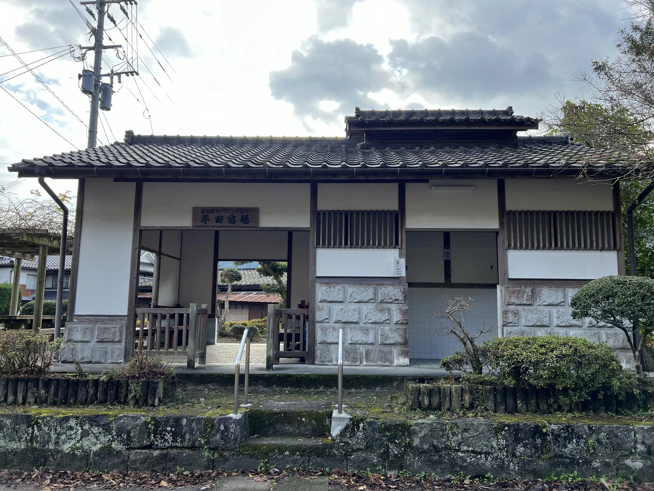
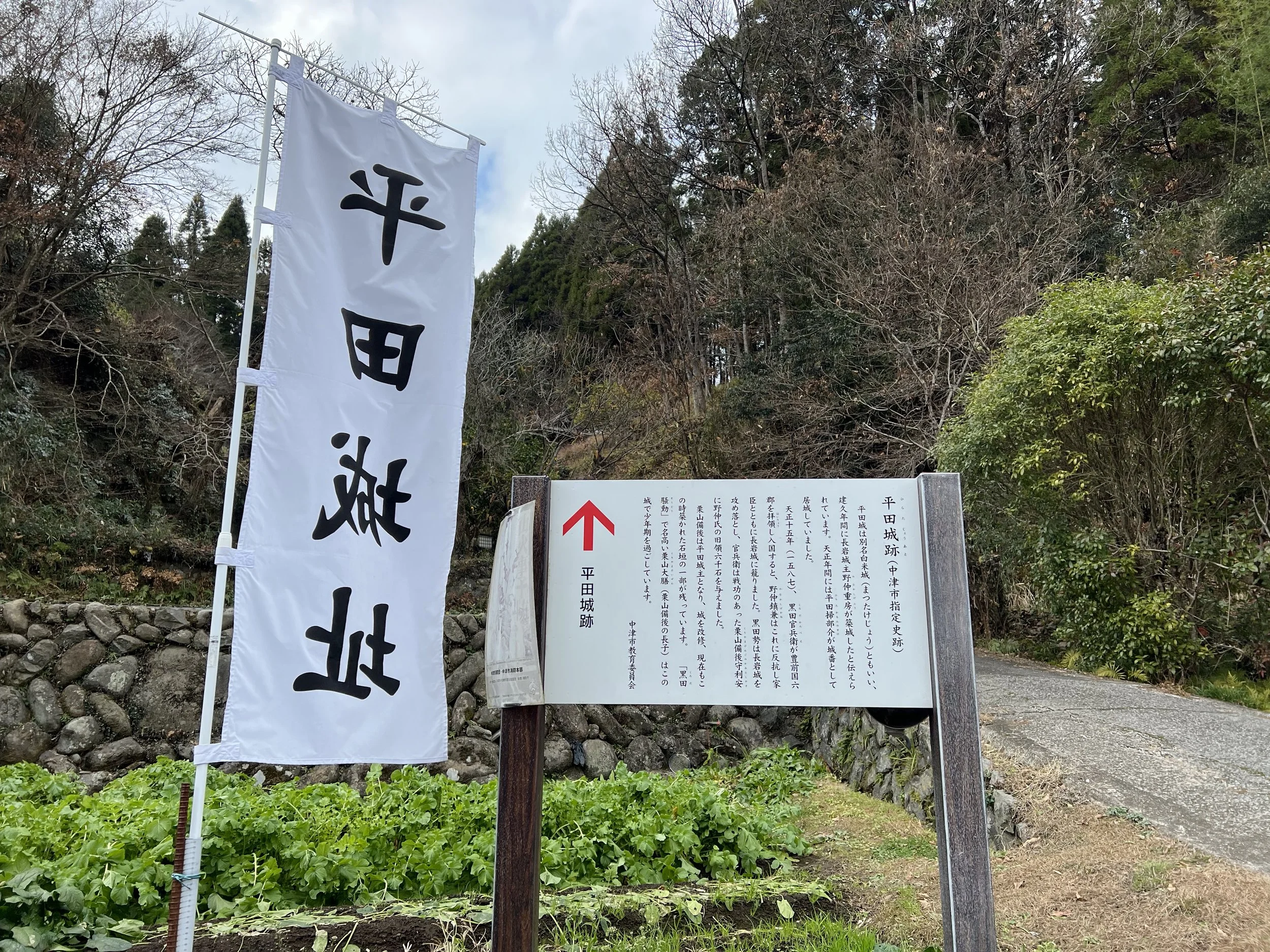
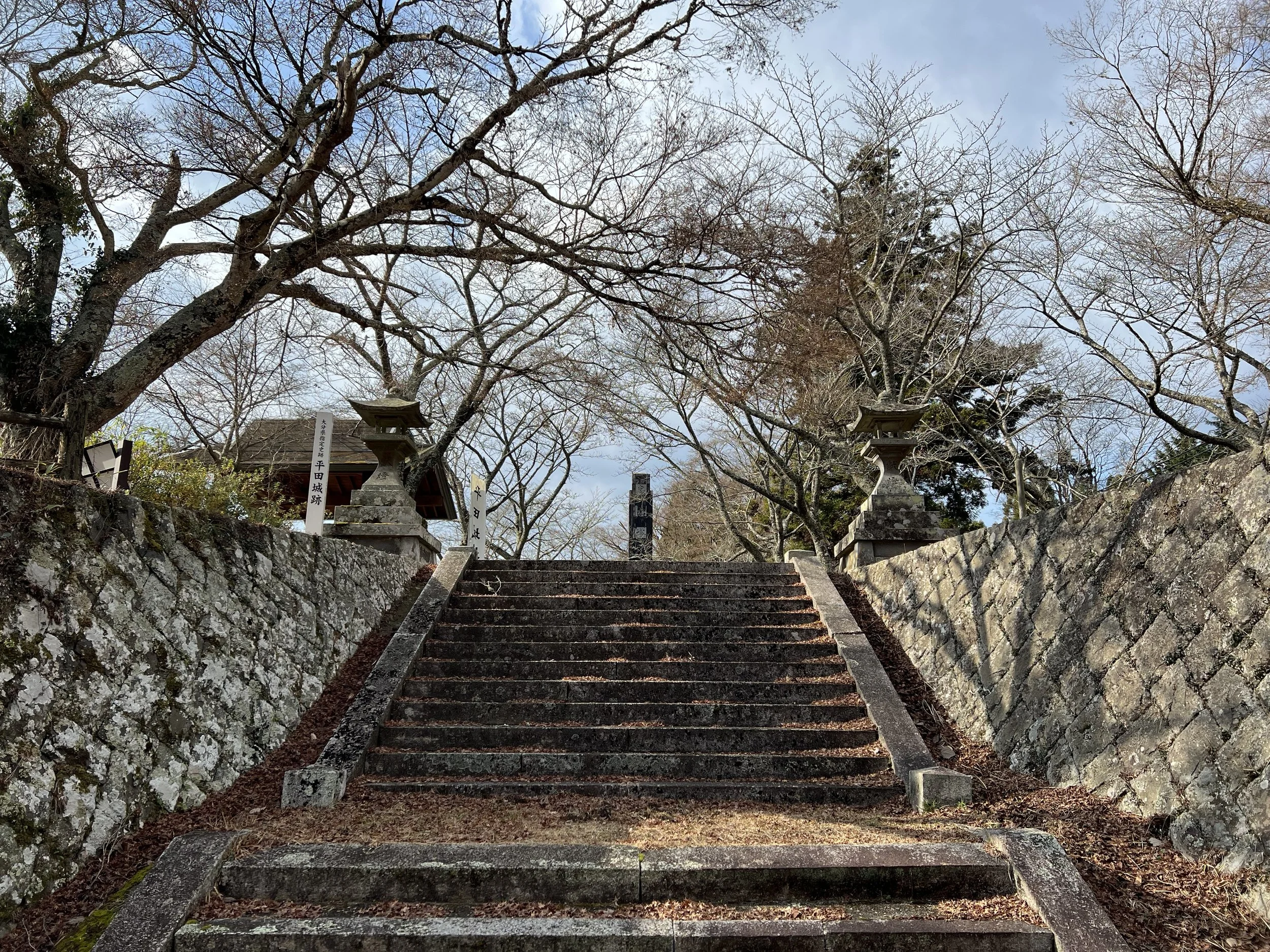
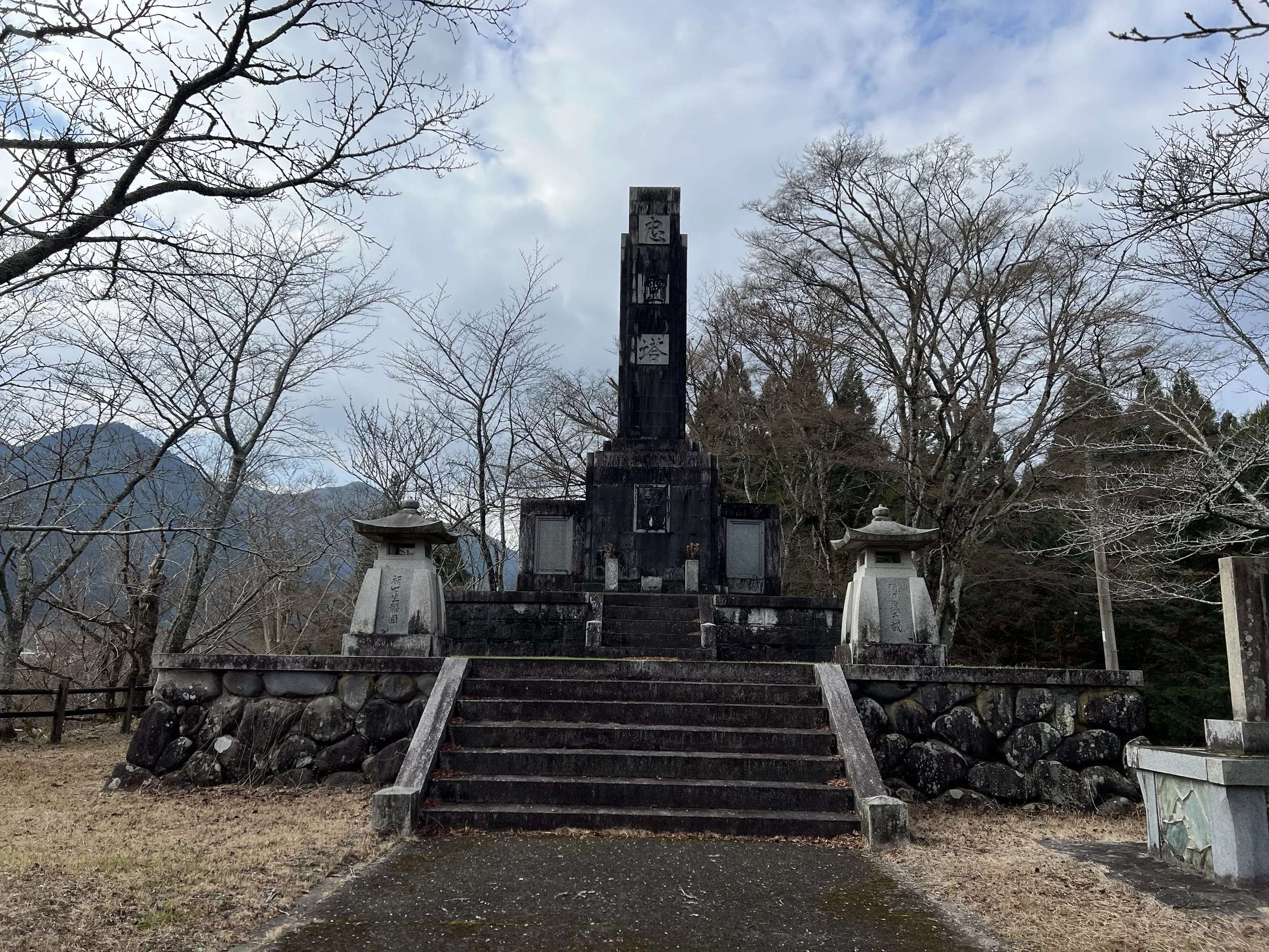
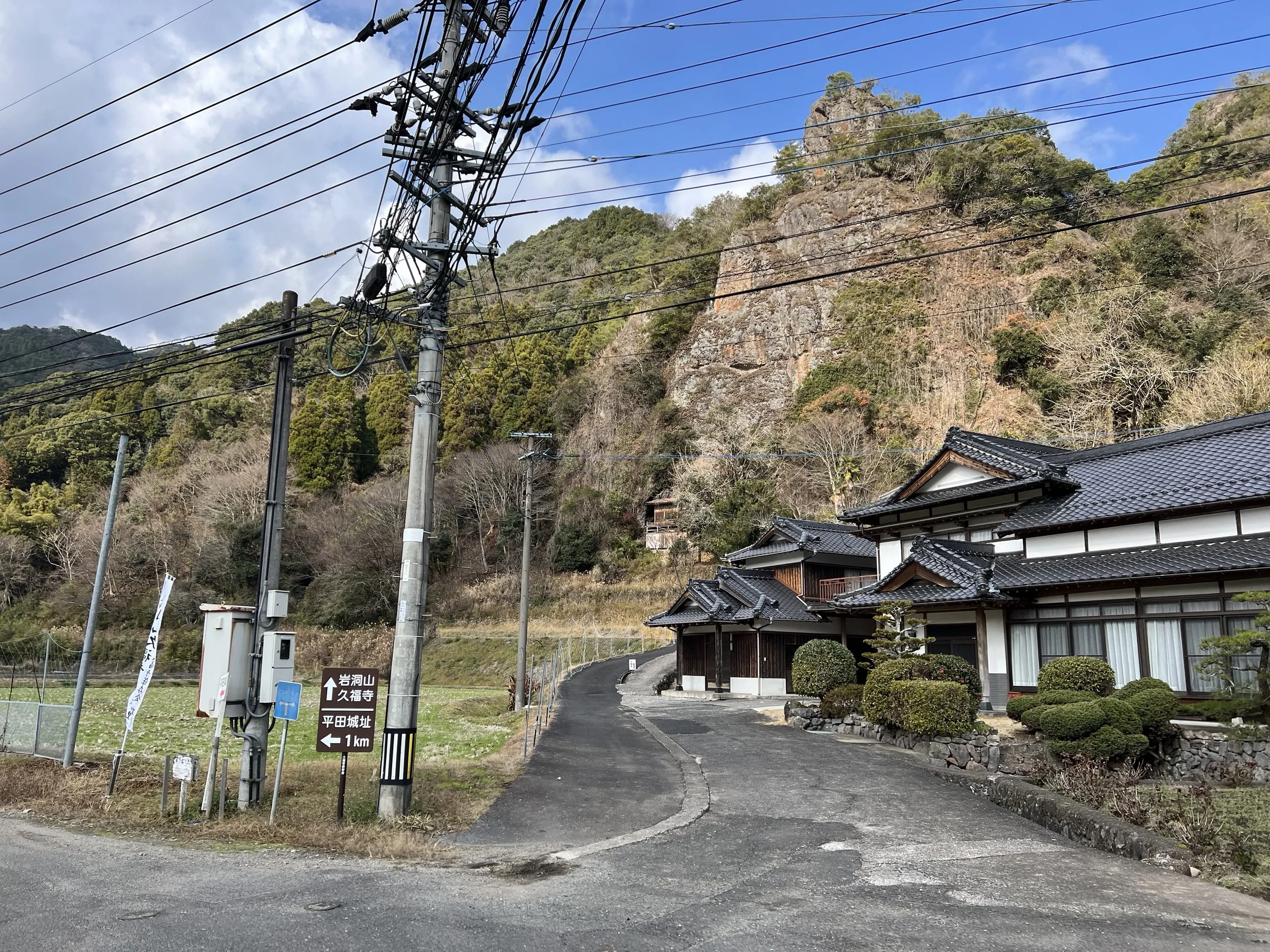
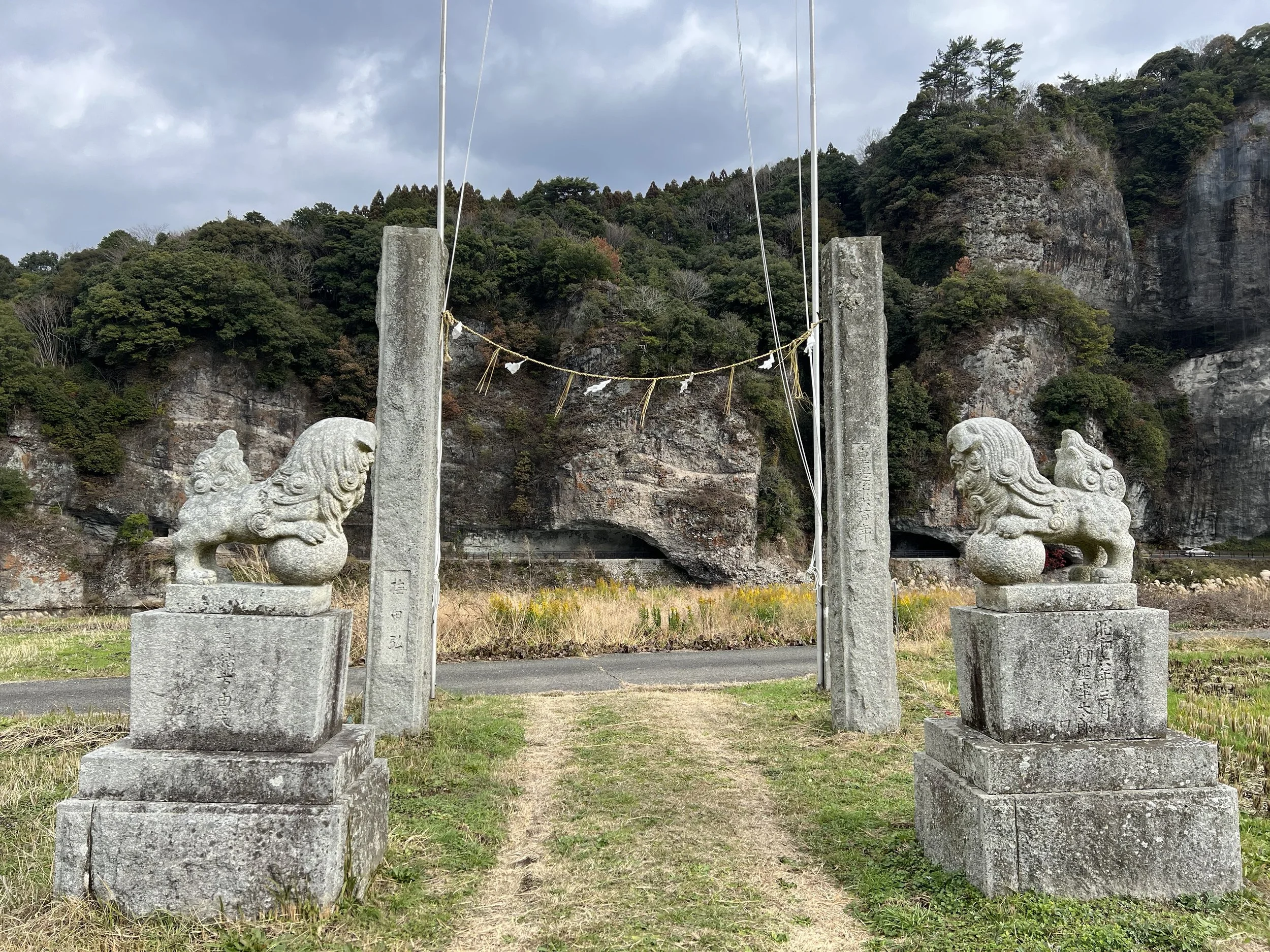
Very little remains of Hirata Castle today, aside from sections of stone wall and the foundations of former structures. Informational signs outline where key buildings once stood, and the elevated position still offers a commanding view of the surrounding area. I made the short climb up to where the main keep would have been, took a few photos, and enjoyed a brief rest before heading back down. Conveniently, there’s a public washroom nearby — always a welcome find on a longer walk.
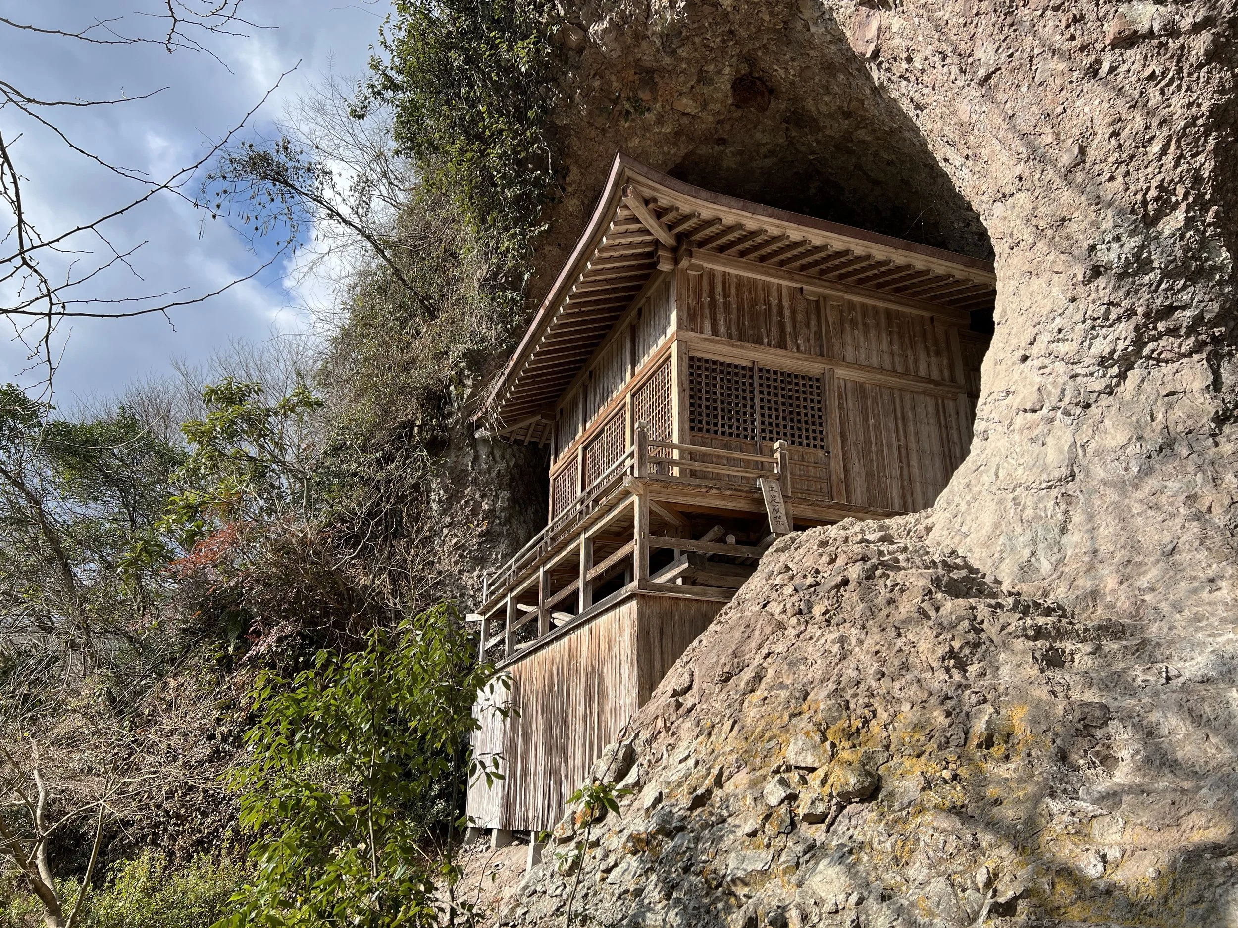
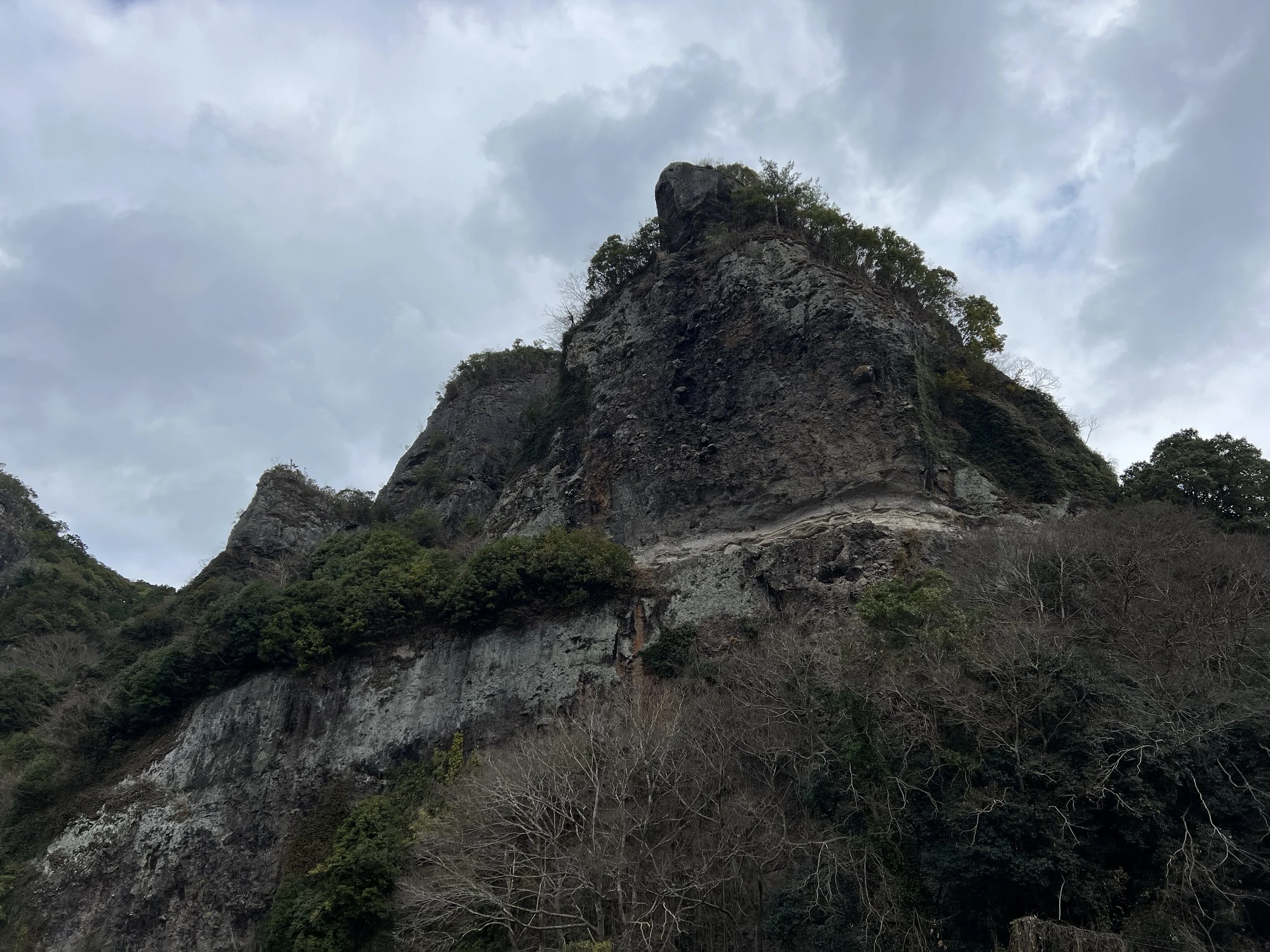
Continuing along the route, I passed more rock formations highlighted by trail signage before spotting a sign for Kyu Fukiji Temple. It required a slight detour, but curiosity got the better of me. Built into the cliff face, the temple is partially inaccessible today, with barriers preventing visitors from approaching too closely. Still, even viewing it from a distance was worth the detour, and I was glad I took the time to check it out before returning to the main path.
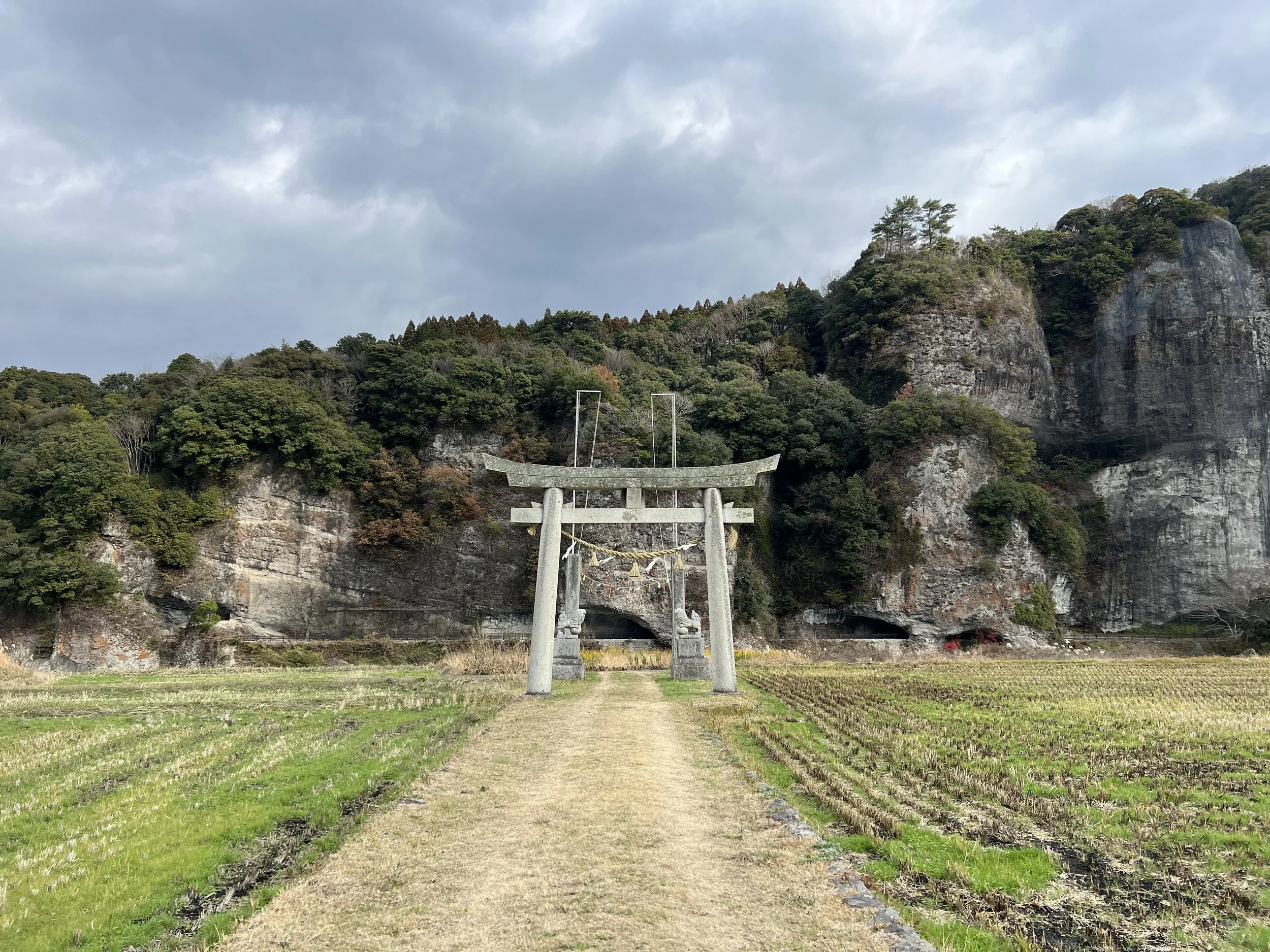
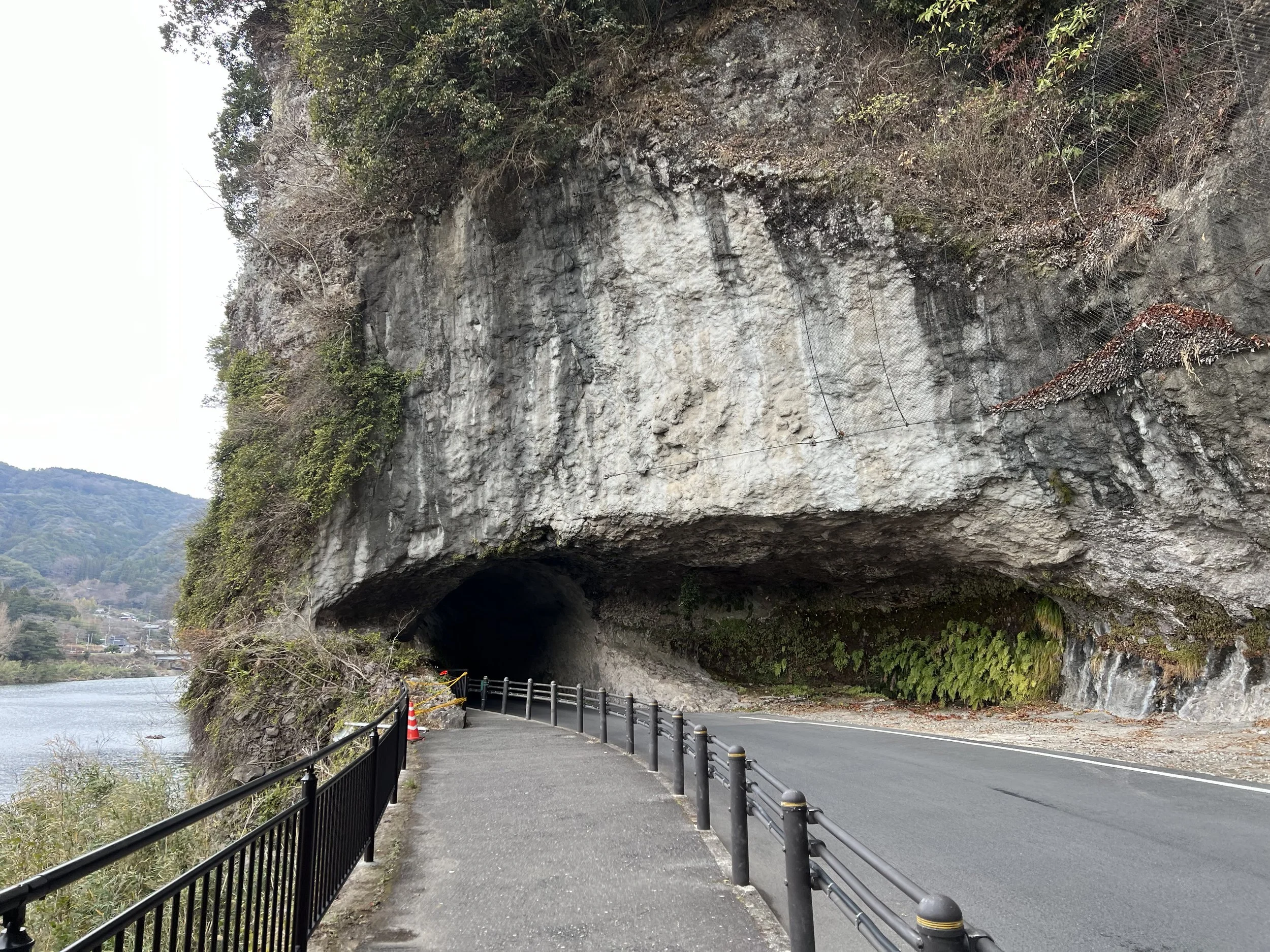
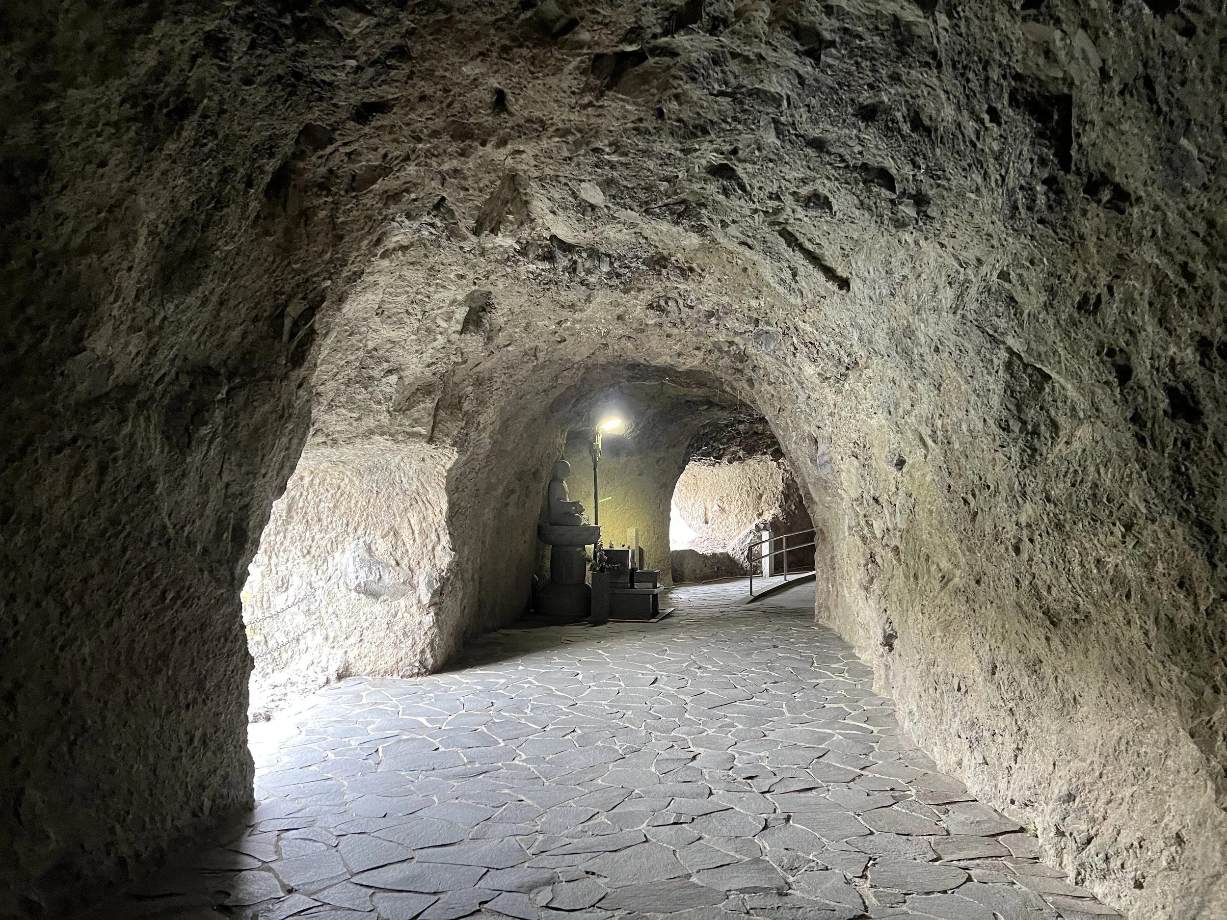
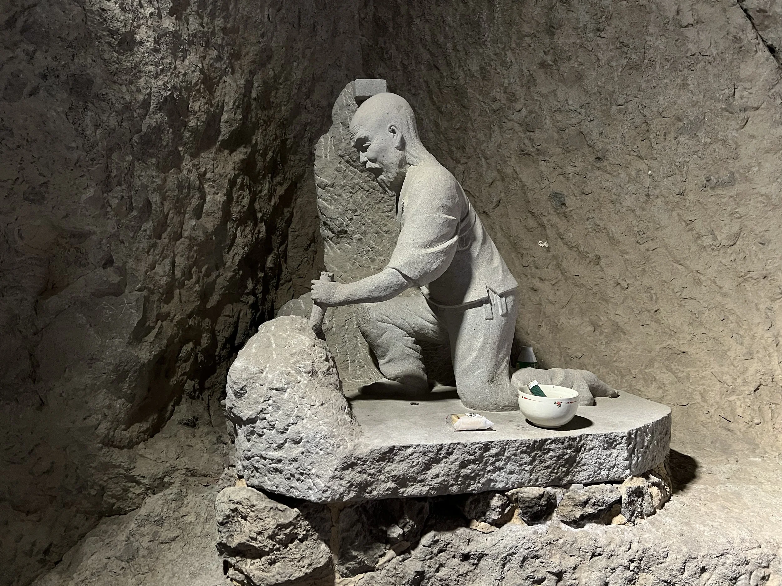
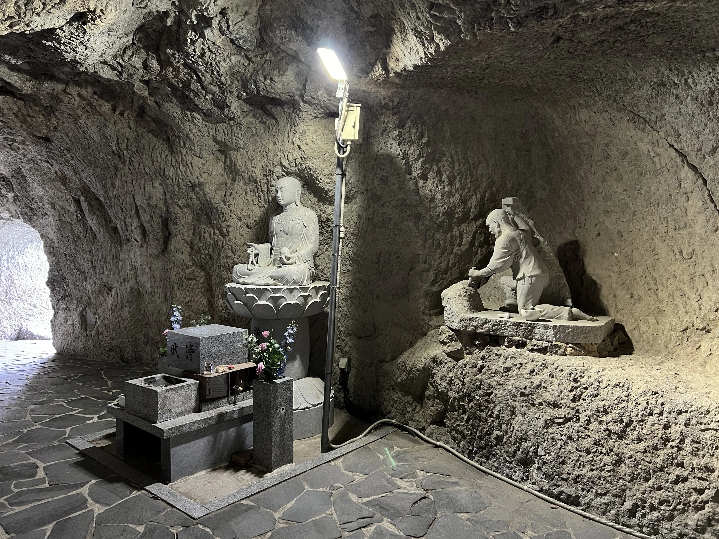
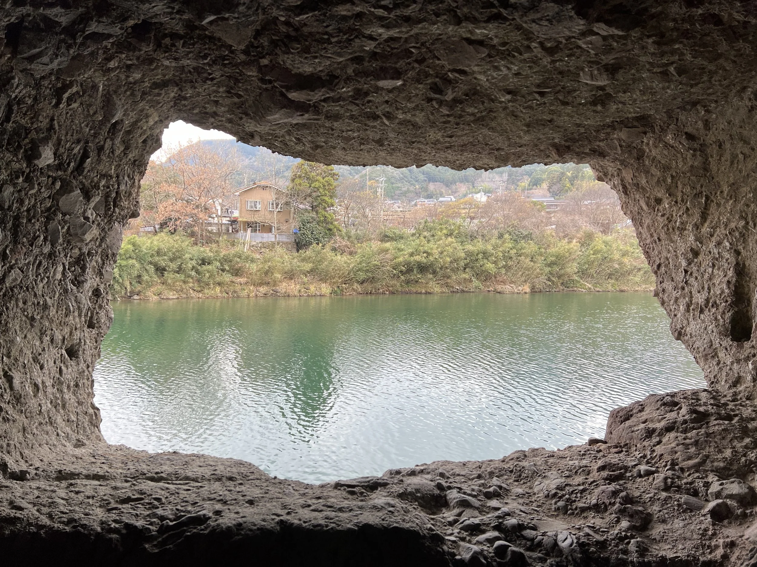
From there, I continued toward my destination for the day — Aonodomon Tunnel. Before the tunnel was built, pilgrims had to climb precariously along the cliff face to reach an important place of worship above, and many lost their lives in the attempt. During the Edo period, a monk named Zenkai witnessed the danger and devoted himself to creating a safer route. Using only a hammer and chisel, he spent 30 years carving the 185-metre-long tunnel by hand. Completed in 1764, Aonodomon stands as a remarkable testament to dedication and faith.
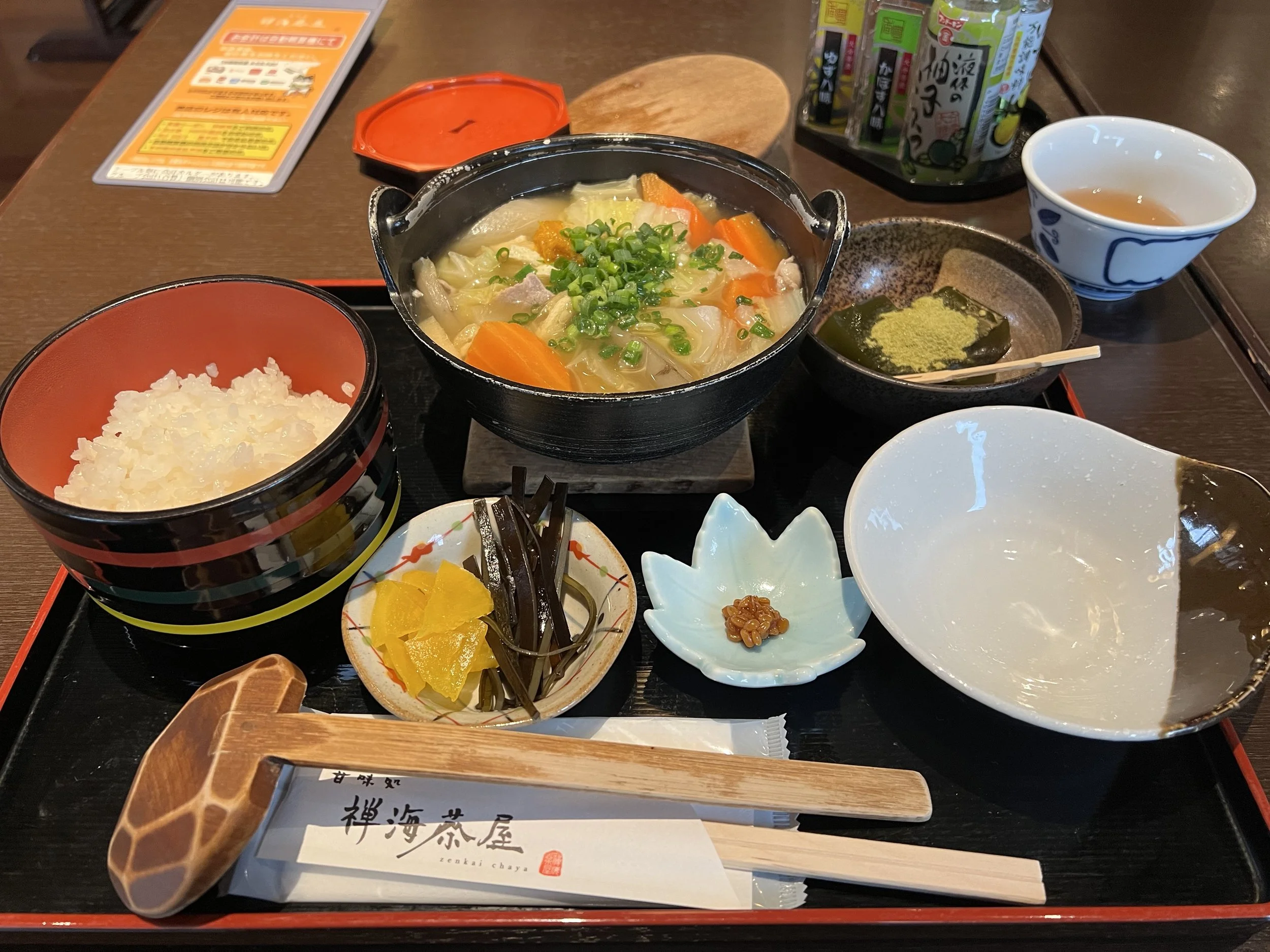
I walked both along the cliffside and across the river to take in the tunnel from different perspectives. Standing inside it, it was impossible not to be impressed by the sheer effort it must have taken to carve this passage through solid rock. Nearby, I stopped at one of the teahouses overlooking the river for a late lunch, which made for a perfect resting spot before my final stop.
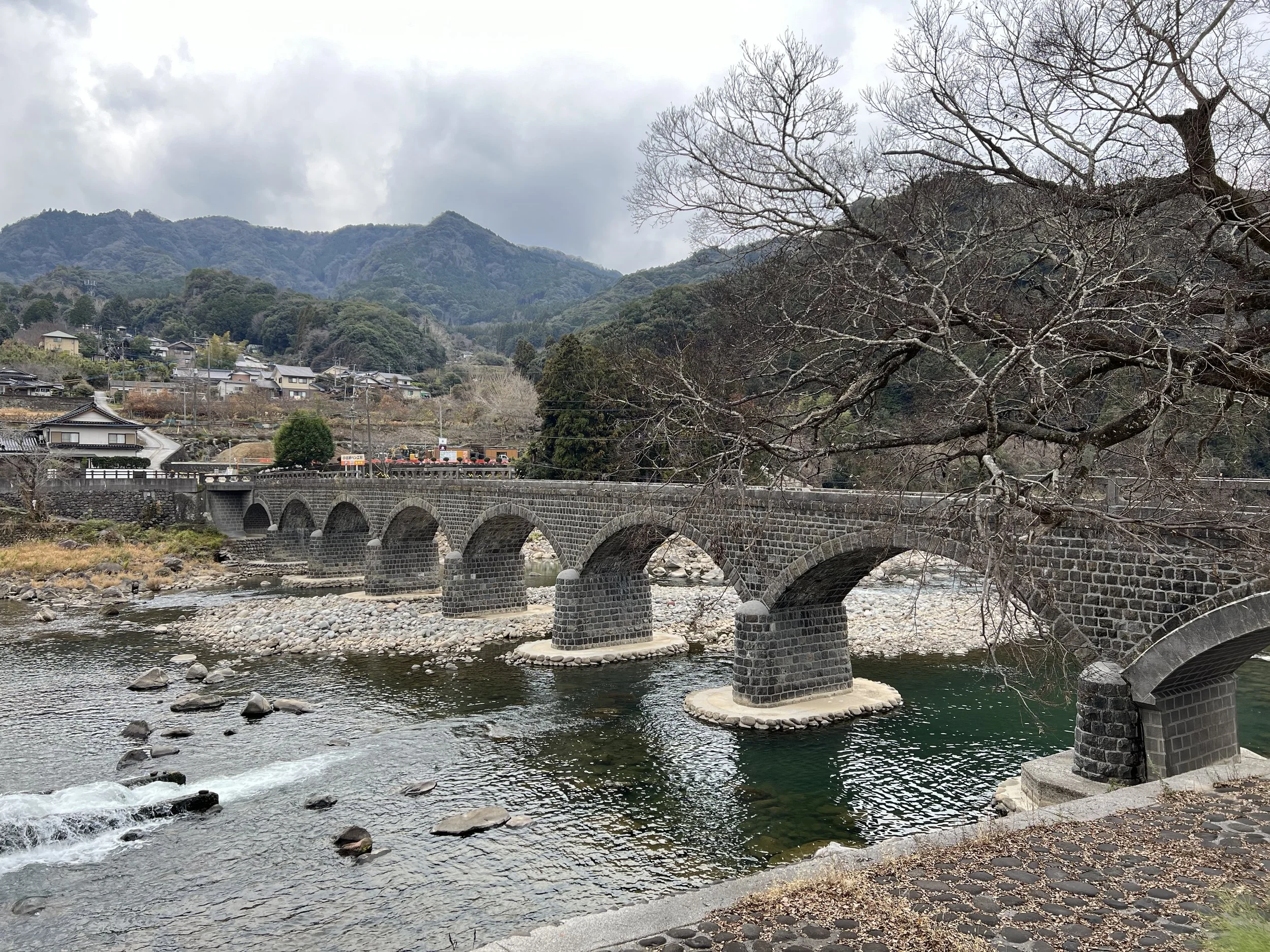
After lunch, I walked across the tunnel to Yabakei Bridge. Completed in 1923, it is Japan’s only eight-arch stone bridge and, at 116 metres long, the longest of its kind in the country. It’s also listed among Japan’s Top 100 Famous Bridges. Although the bridge was closed for safety reasons during my visit, it was still beautiful to see up close. With only a few minutes to spare before my bus arrived, I took a final set of photos and made my way to the nearby bus stop.
While I didn’t cover the entire 36 kilometres, the section I walked captured the highlights of the Maple Yaba Cycling Road. Next time, I’d love to rent a bike and experience the full length of the route.
History & Background
The Maple Yaba Cycling Road (メイプル耶馬サイクリングロード) follows the former Yabakei Railway, which once connected Nakatsu City with Yamakuni Town. After the railway was discontinued, the corridor was preserved and repurposed as a multi-use recreational trail. The Yabakei area itself is known for its dramatic rock formations, historic stone bridges, and deep cultural history tied to pilgrimage routes and river travel. Today, the cycling road offers a way to experience this landscape at a slower pace, blending natural scenery with historical landmarks.
Getting There
Nakatsu is accessible by train via Nakatsu Station on the JR Nippo Main Line. From Nakatsu Station, local buses operate toward the Yabakei area, including stops such as Kakisaka Bus Stop, which provides access to the Maple Yabakei Cycling Road. Return bus services are available from locations near Aonodōmon and Yabakei Bridge, making it possible to walk one-way sections of the route without backtracking.
Route Overview
Distance: 14 km (Kakisaka Bus Stop → Yabakei Bridge)
Total elevation gain: 68 m
Duration: 2 hr 34 min (with breaks 2 hr 47 min)
Difficulty: Intermediate
Cost Breakdown
Bus: Nakatsu Station → Kakisaka Bus Stop — ¥970
Food: ¥1,608