Kumano Kodo Nakahechi – Day 5: Koguchi to Nachi Taisha
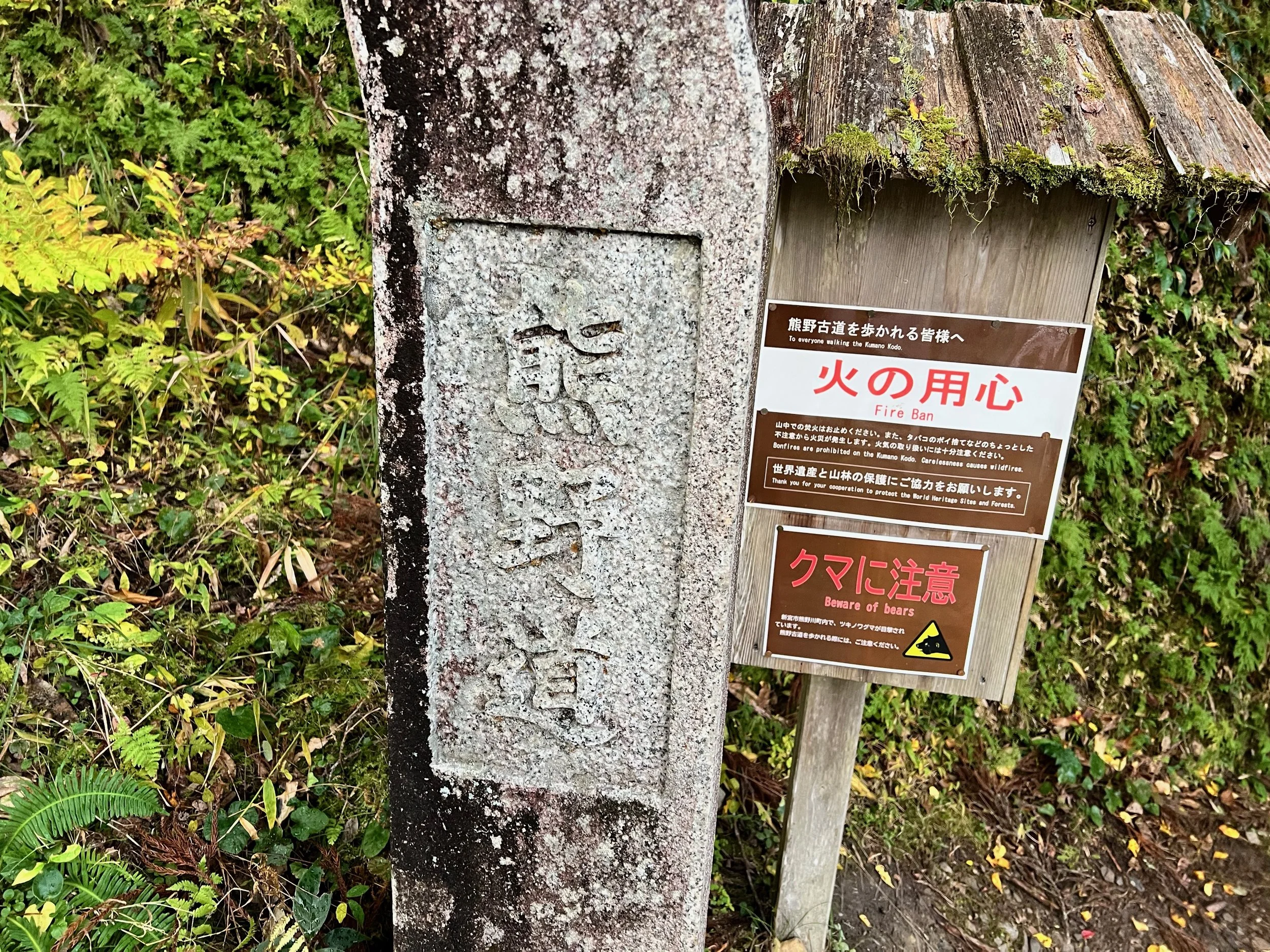
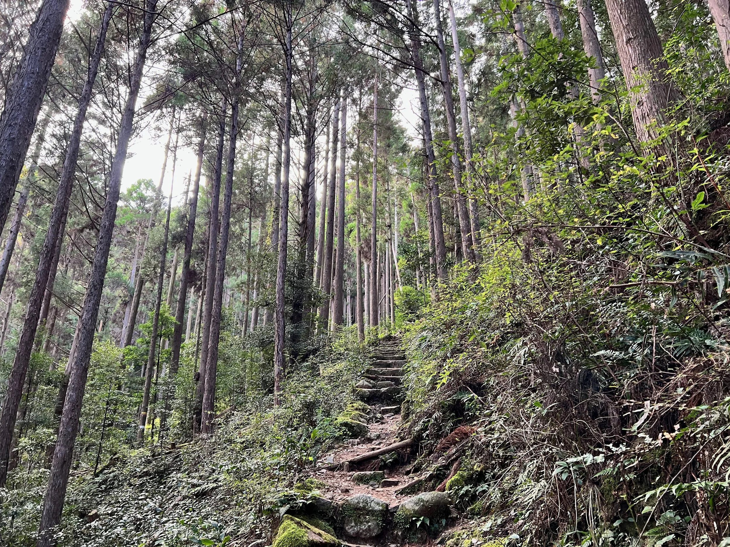
Today was considered the toughest day on the Kumano Kodo Nakahechi Route. After breakfast and picking up my packed lunch, my host dropped me off at the Ogumotori-goe trailhead (大雲取越入口). A light drizzle fell as I set off, so I put on my backpack rain cover and began the hike.
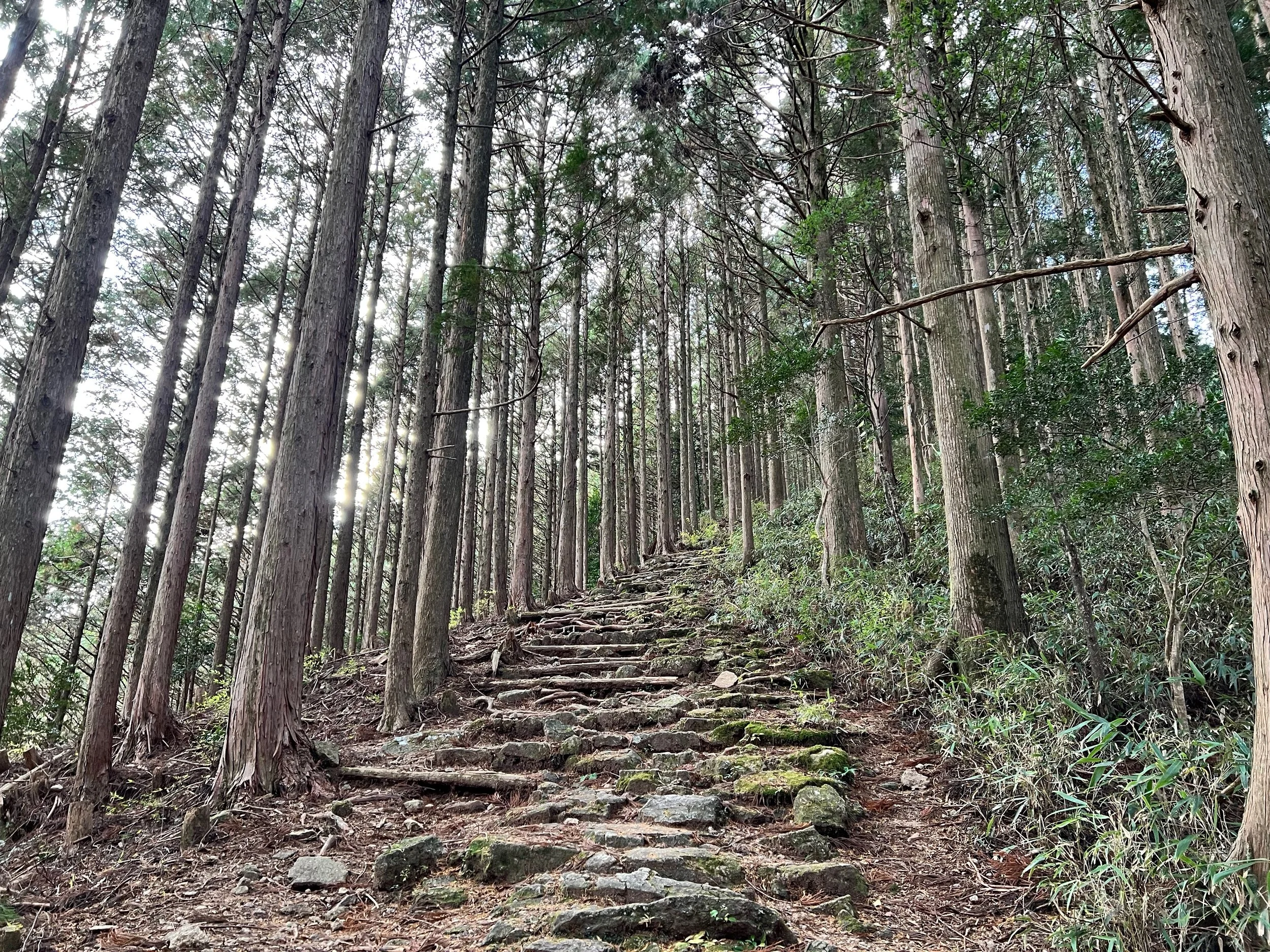
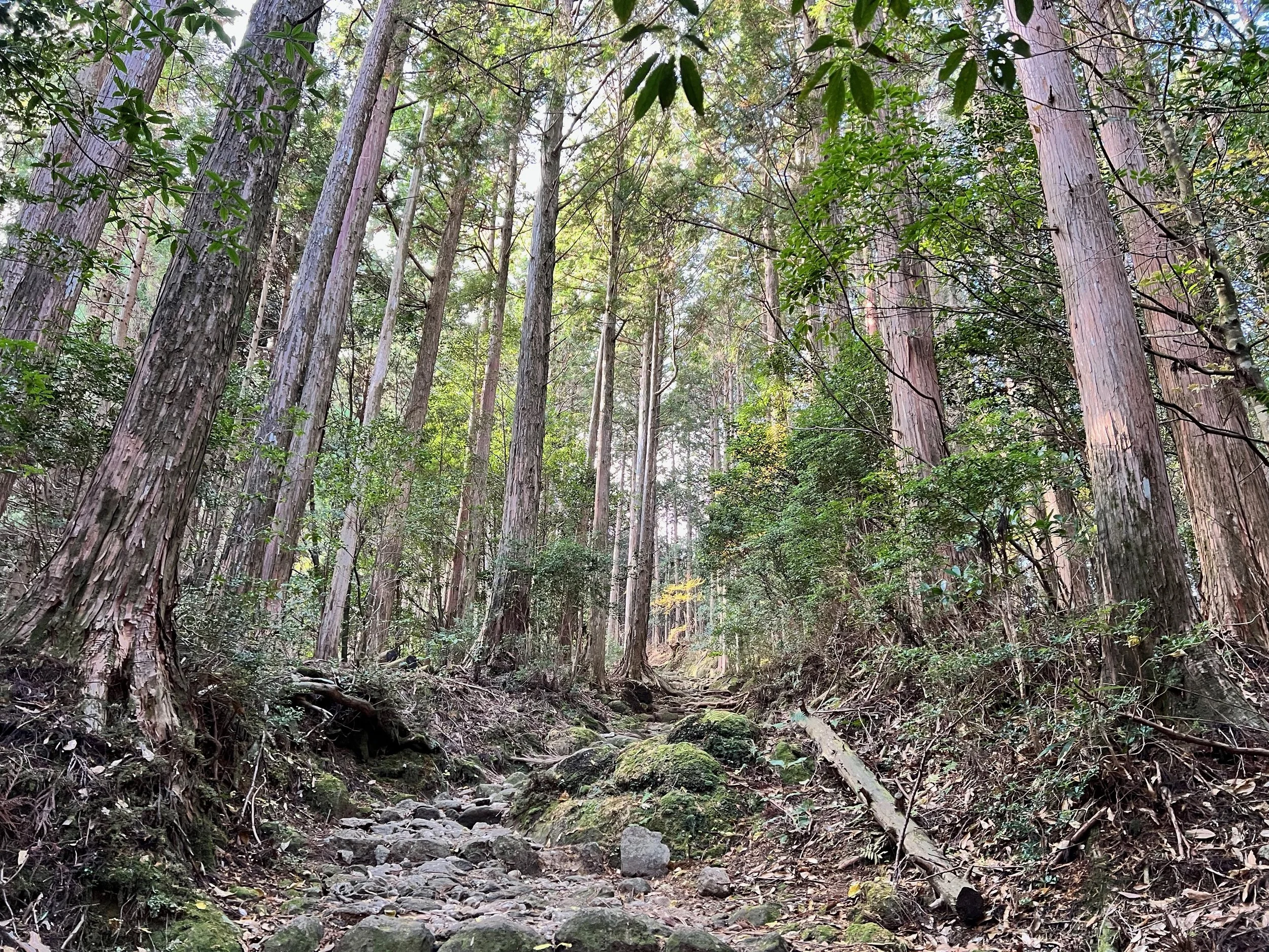
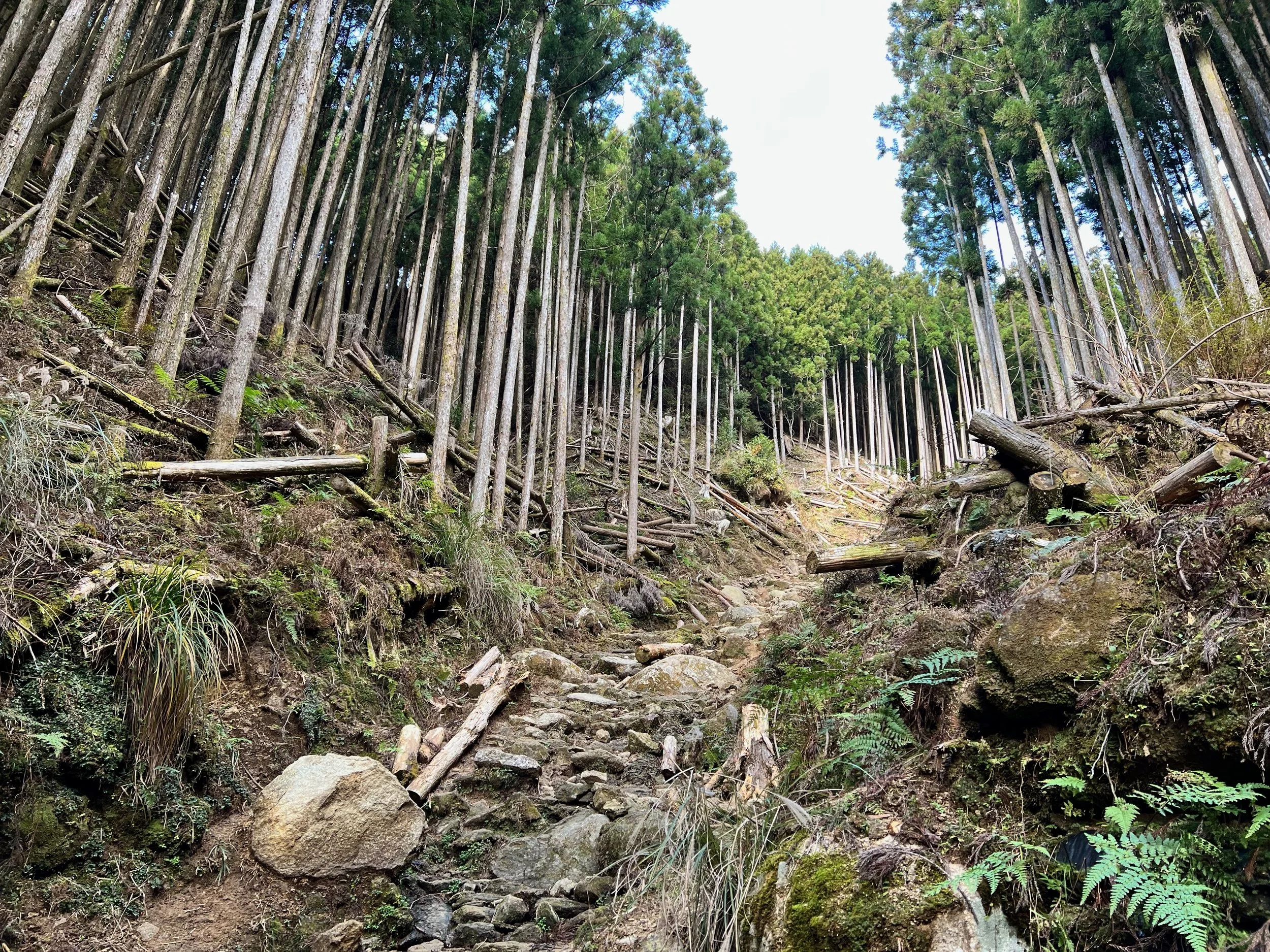
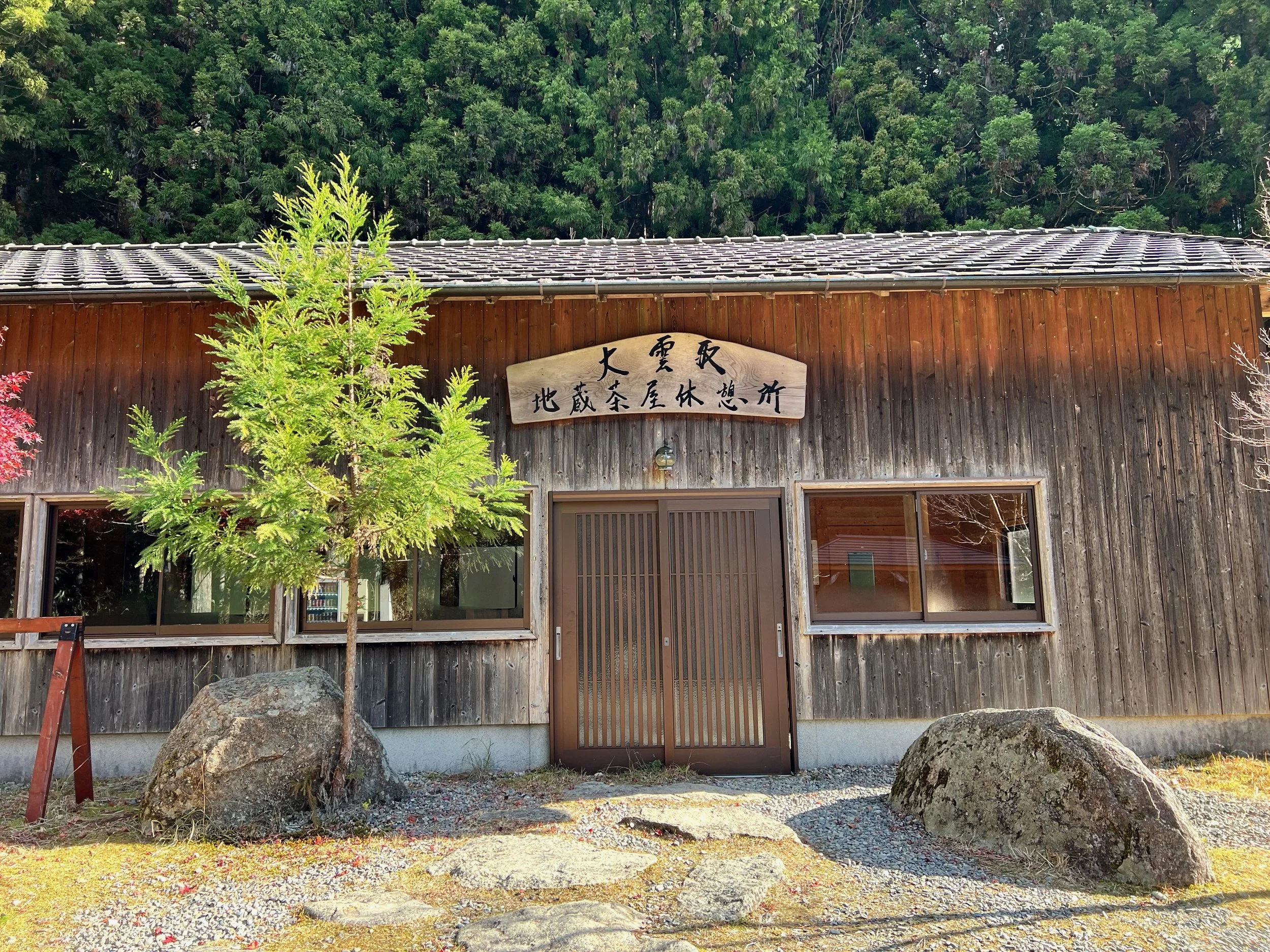
The first 5 km was a long, uphill climb over rocky steps that tested my legs, but reaching the highest point at 847 m was incredibly rewarding. The descent was equally tricky, with muddy paths and small streams crossing the trail. At the midpoint rest house, I was grateful for a sheltered spot to enjoy my lunch and escape the chilly wind.
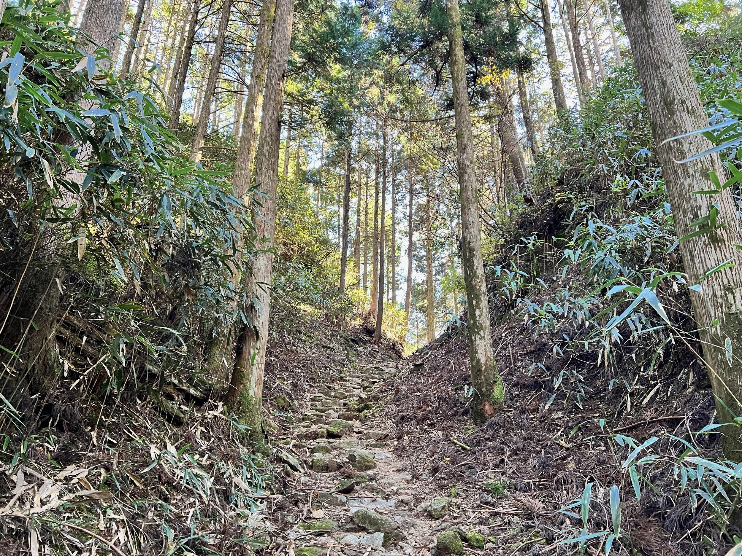
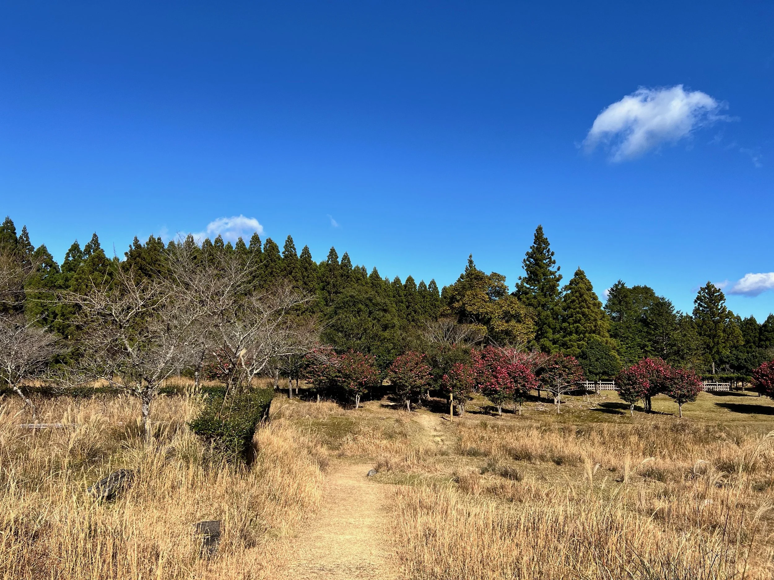
One final short climb preceded a gradual descent toward Nachi Taisha. This section was busier, with a few guided groups passing in the opposite direction. I even spotted a deer resting near the trail, though it bolted as I approached. The final stretch consisted mostly of stone steps, which proved surprisingly tough on the feet.
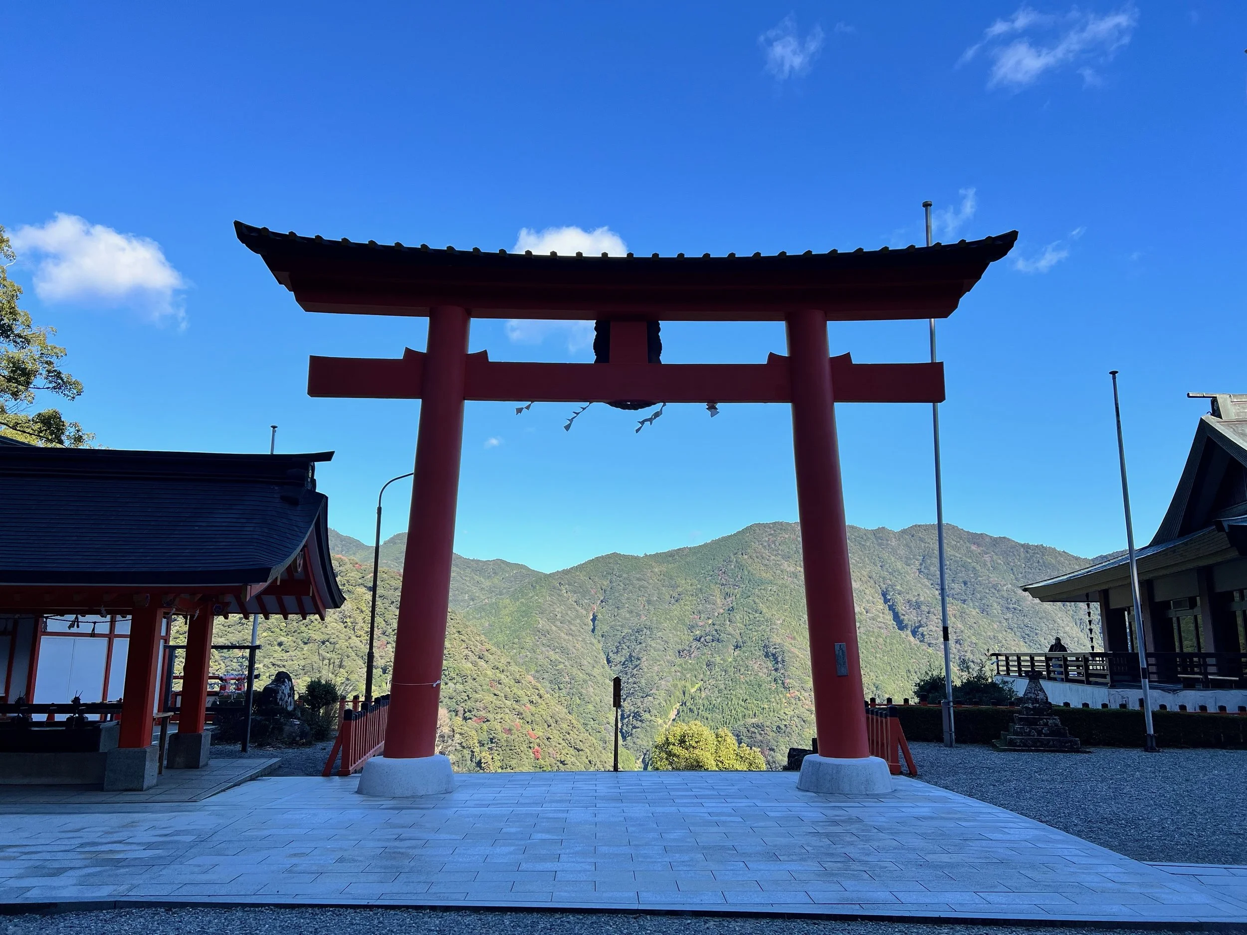
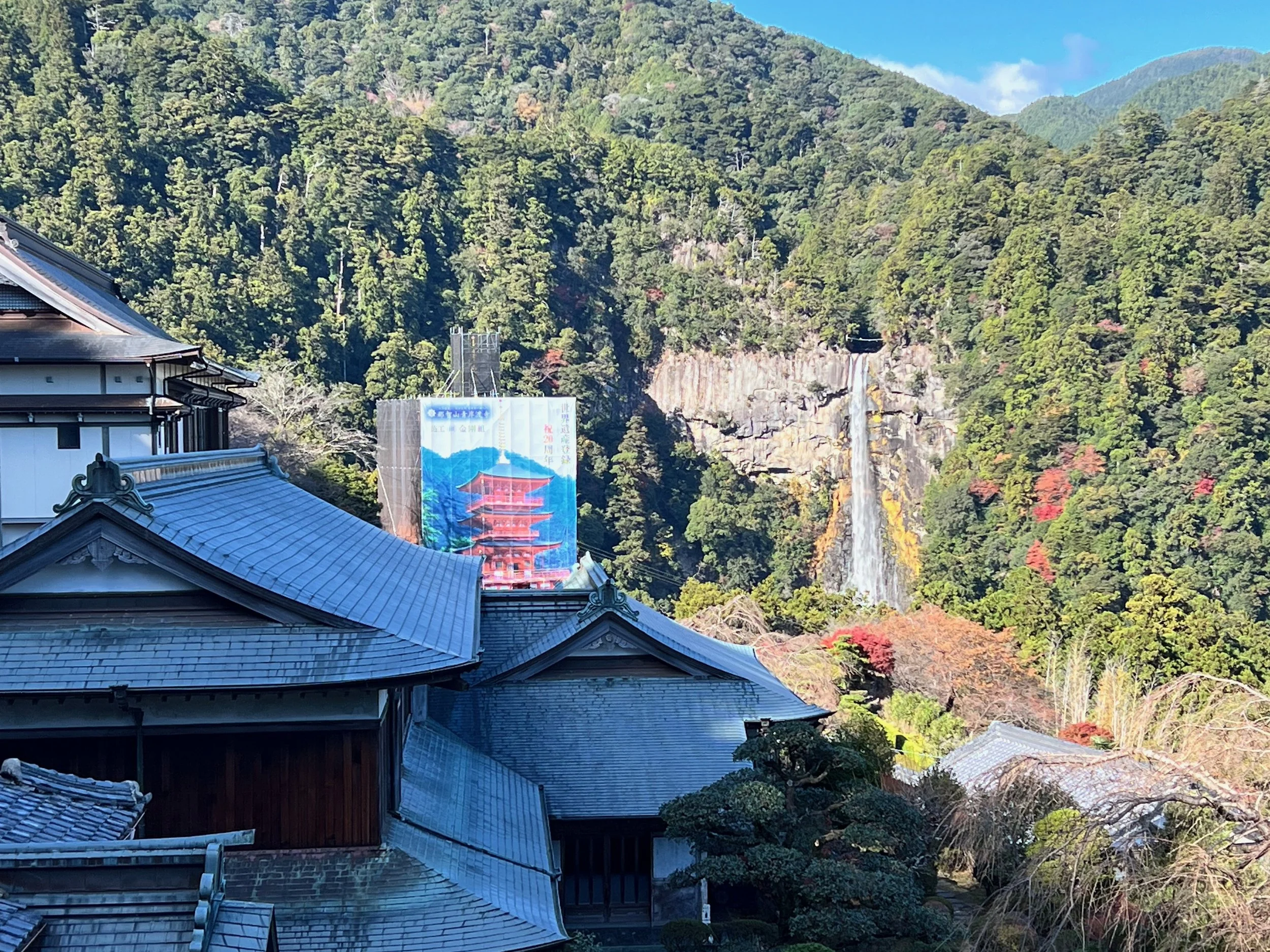
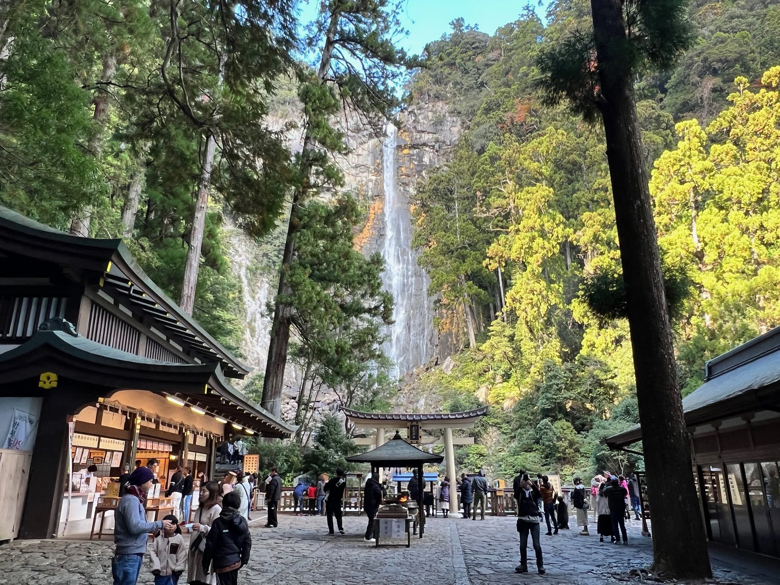
At Nachi Taisha, I had a bit of trouble locating the stamp and had to ask for help—it wasn’t where I expected. I was slightly disappointed that the iconic view of the pagoda and waterfall was unavailable due to renovations, but the scenery remained stunning. After visiting Nachi Waterfall, I ended the day with a comforting bowl of beef curry, a perfect reward after just over six hours on the trail, including breaks.
History & Background
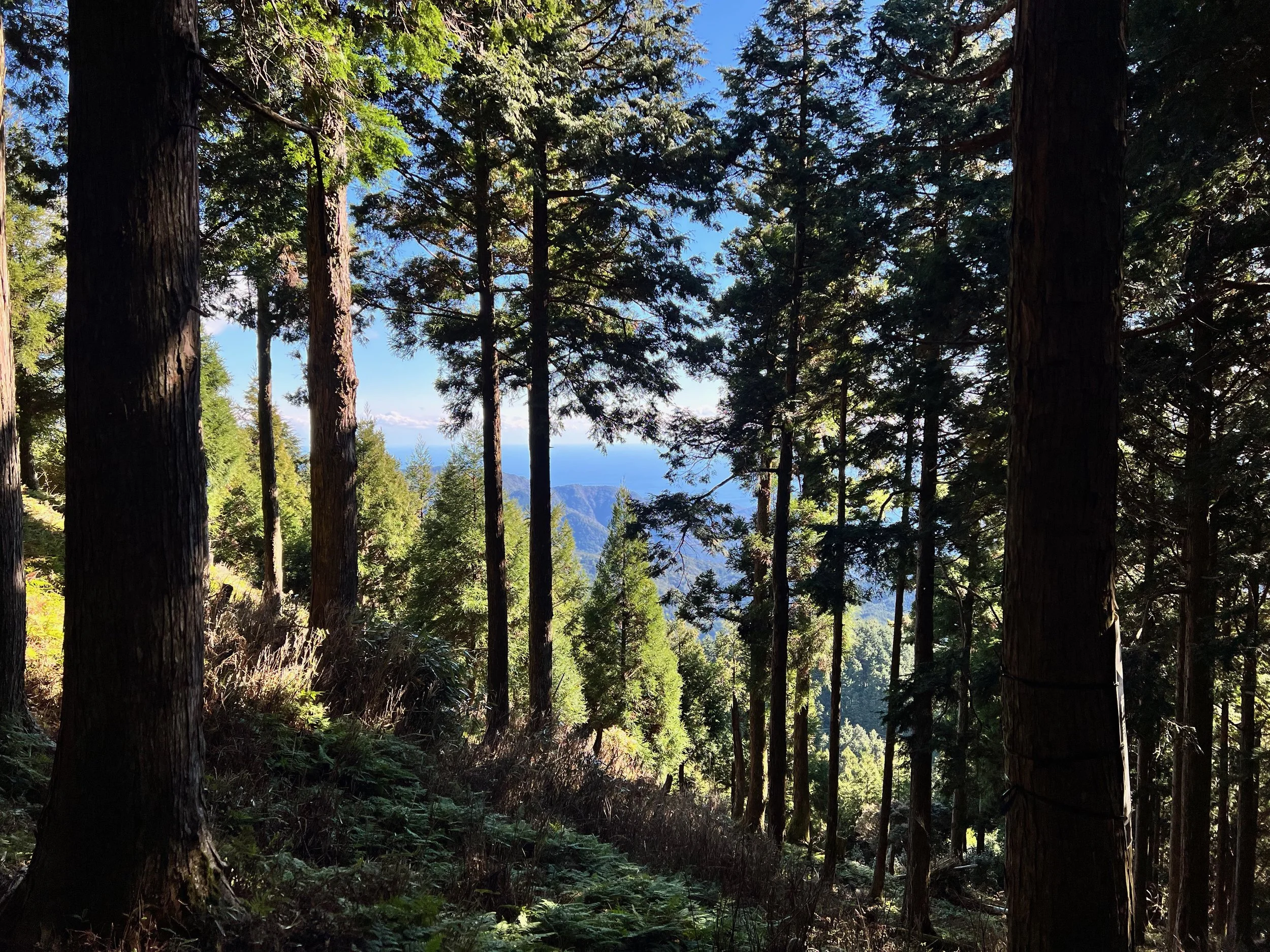
Nachi Taisha (熊野那智大社) is the southernmost of the three Grand Shrines of Kumano and a key destination along the Nakahechi Route, which has guided pilgrims for centuries. Pilgrims have long been drawn to its dramatic setting beside the 133-meter Nachi Waterfall, the sacred mountains, and the surrounding forests.
The trail from Ogumotori-goe to Nachi Taisha has historically been one of the most challenging sections of the Nakahechi Route, combining steep ascents, rugged mountain ridges, and forested paths. Along the way, pilgrims would stop at small shrines and rest points to pray, perform purification rituals, and seek blessings for safe passage.
Today, hikers follow much of the same path, experiencing steep climbs, moss-covered steps, and serene natural beauty that generations of pilgrims have known. Nachi Taisha itself continues to be an active site of worship, where visitors can collect stamps, offer prayers, and connect with centuries of Kumano spiritual tradition.
Getting There
Most hikers stay overnight in Koguchi, which provides easy access to the Ogumotori-goe trailhead the following morning. My host dropped me off at the trailhead, making for a convenient start.
If coming from Hongu, note that there is only one bus in the morning, so planning around this limited schedule can be tricky. Bus schedules can also vary seasonally, so it’s best to check departure times in advance. Staying in Koguchi the night before ensures an early and relaxed start without relying on infrequent bus service.
Route Overview
Distance: 17.27 km (Ogumotori-goe trailhead → Nachi Taisha)
Total elevation gain: 1,291 m
Duration: 5 hr 35 min (with breaks 6 hr 8 min)
Difficulty: Challenging
For the full day-by-day route breakdown, including distances and duration, see my complete Kumano Kodo route guide.
Cost Breakdown
Bus: Nachisan → Kii-Katsuura Station — ¥630 (cash)
Accommodation: Oyado Hana (booked via Agoda) — C$32.88
Food: ¥3,210